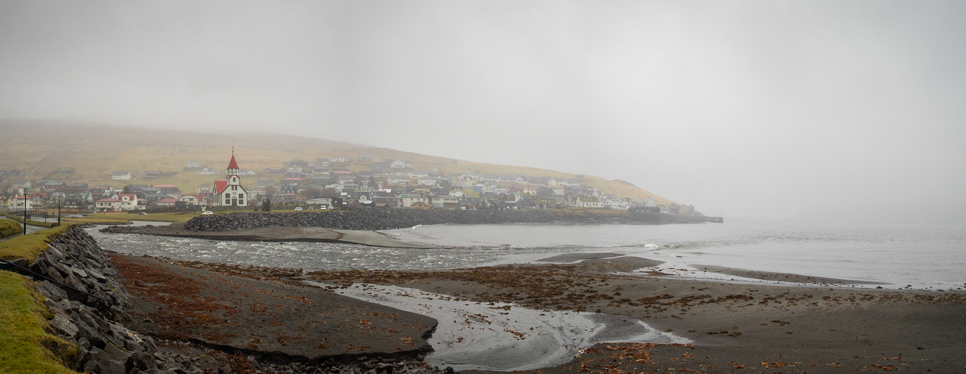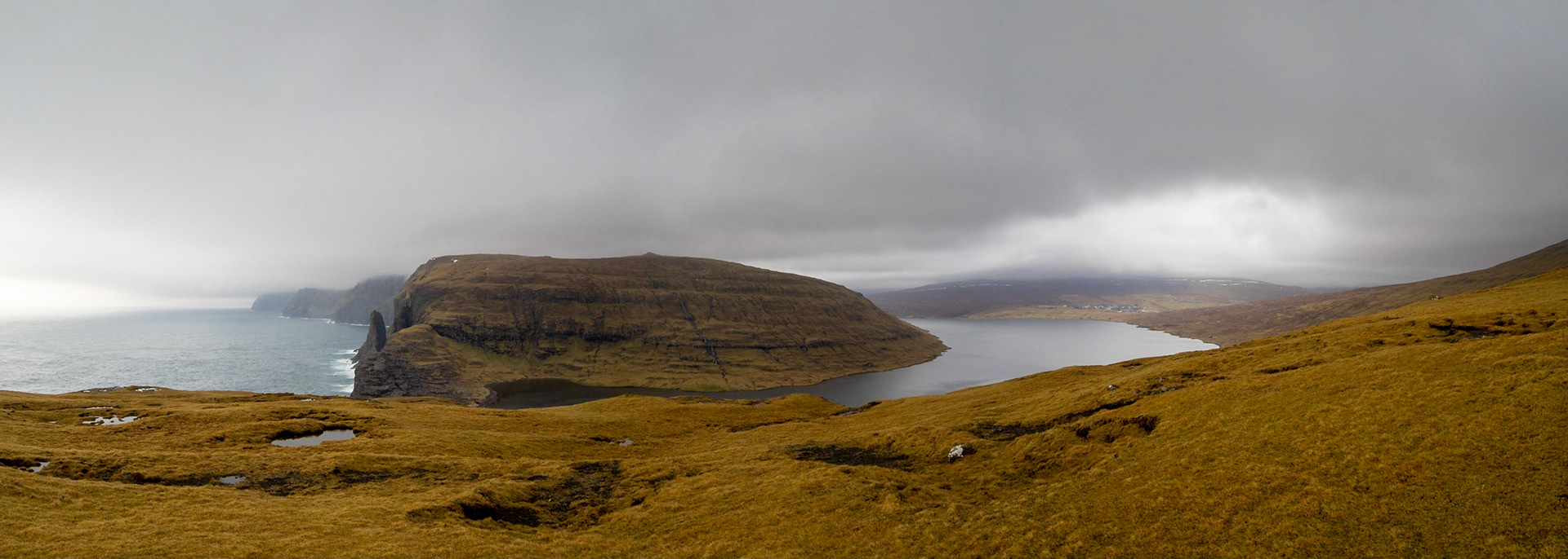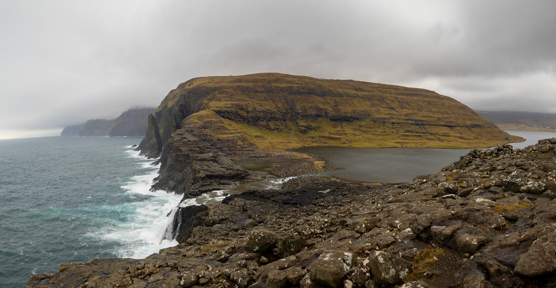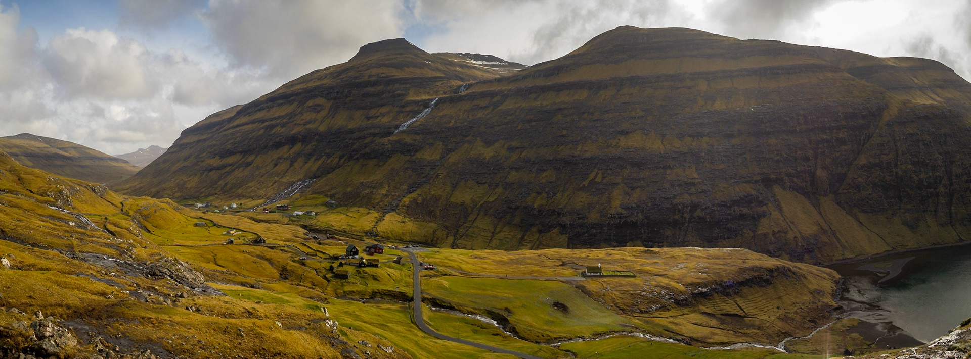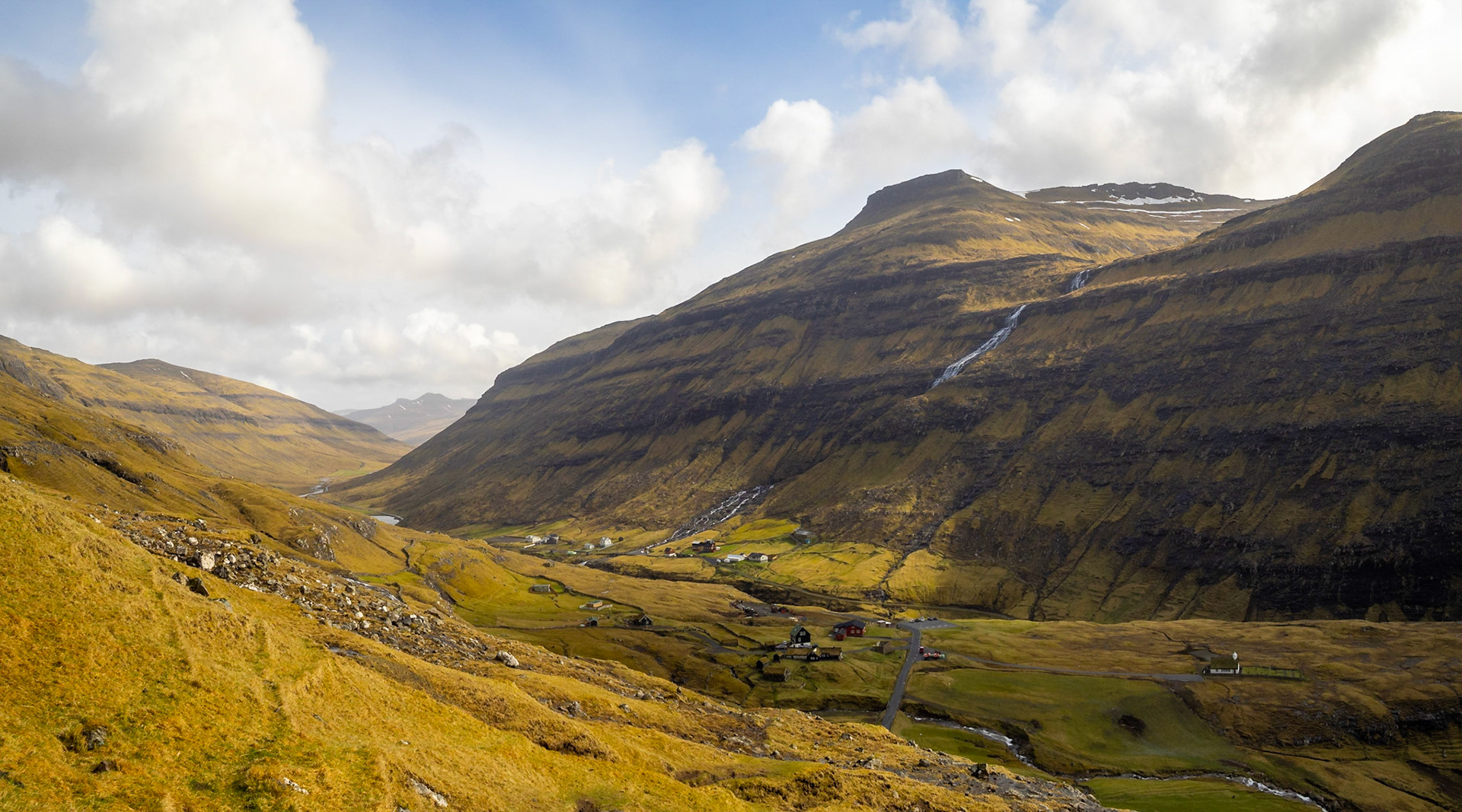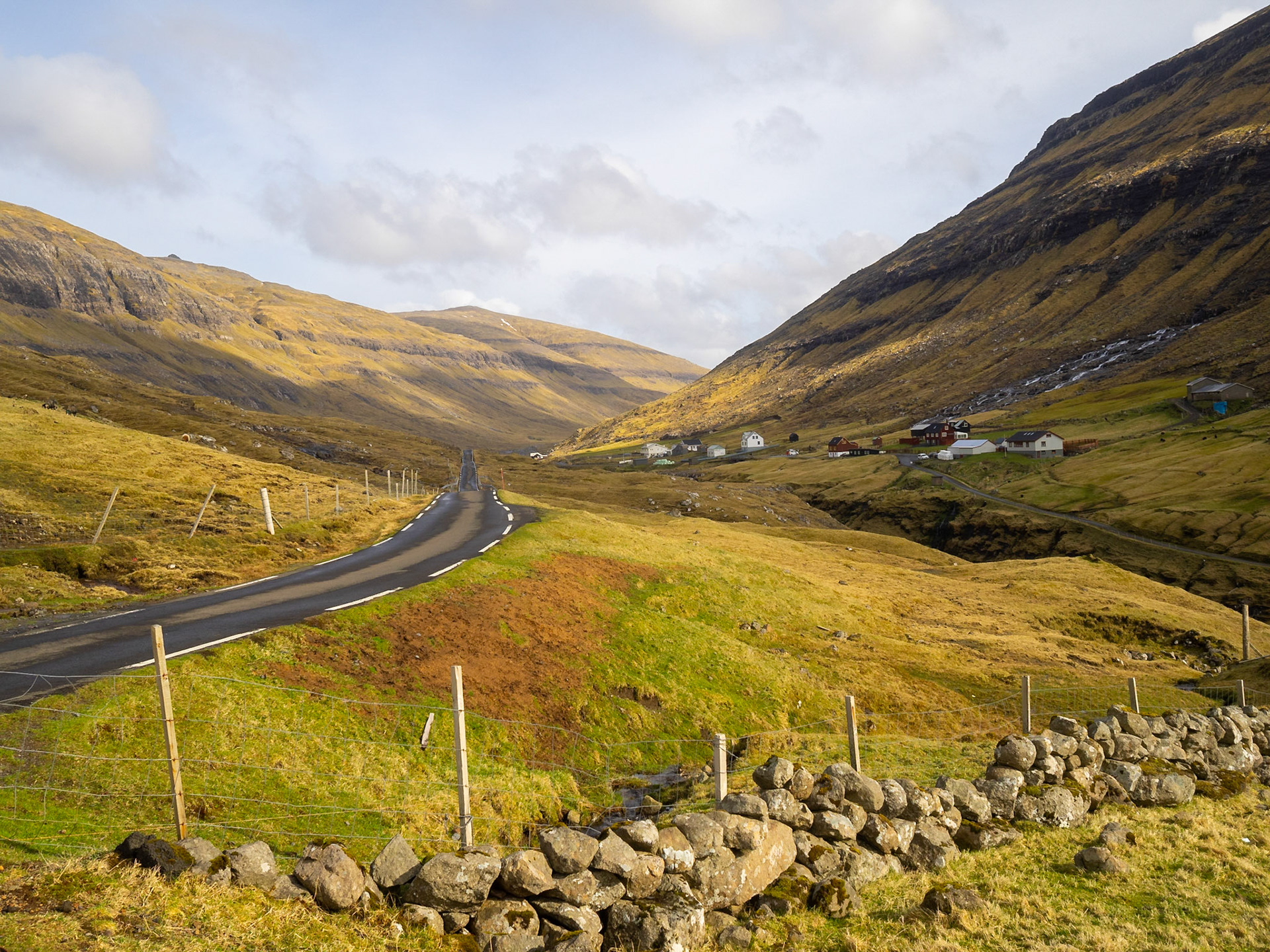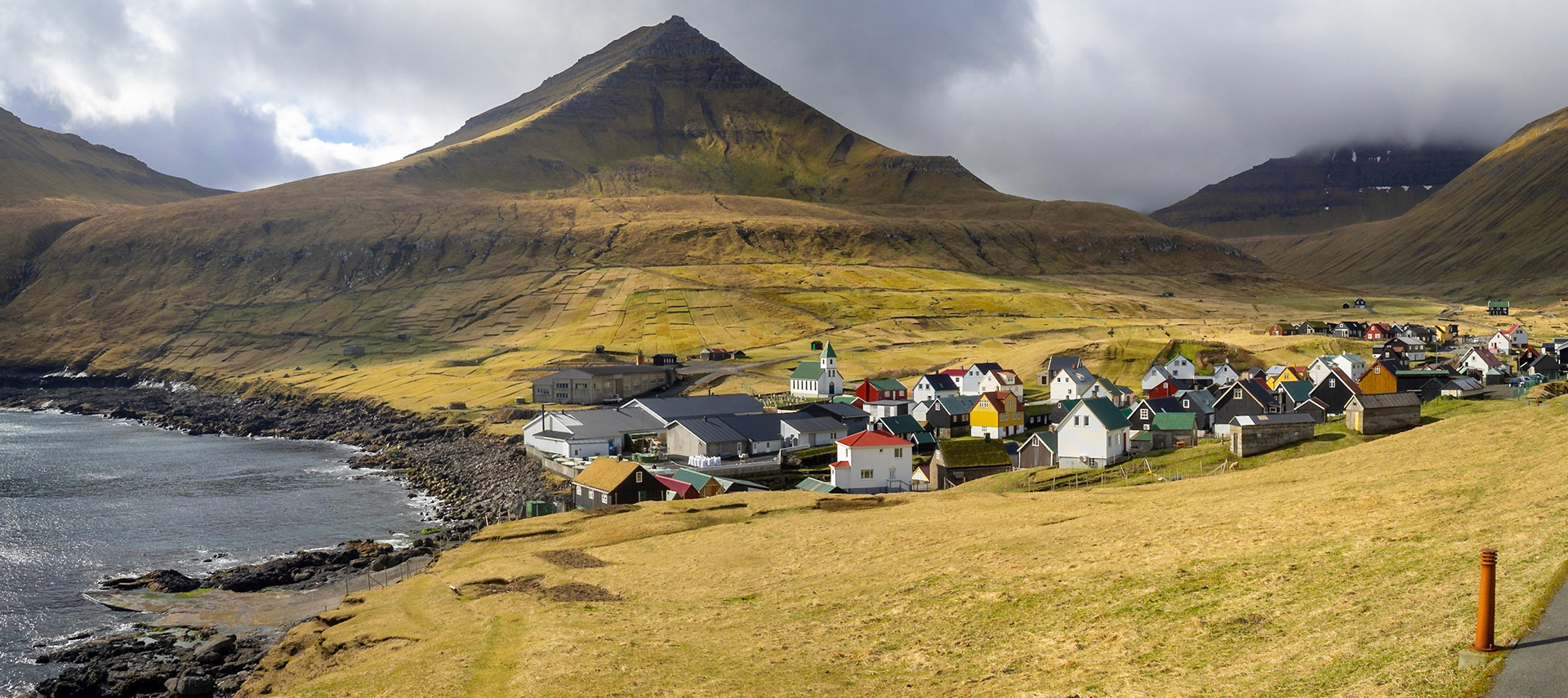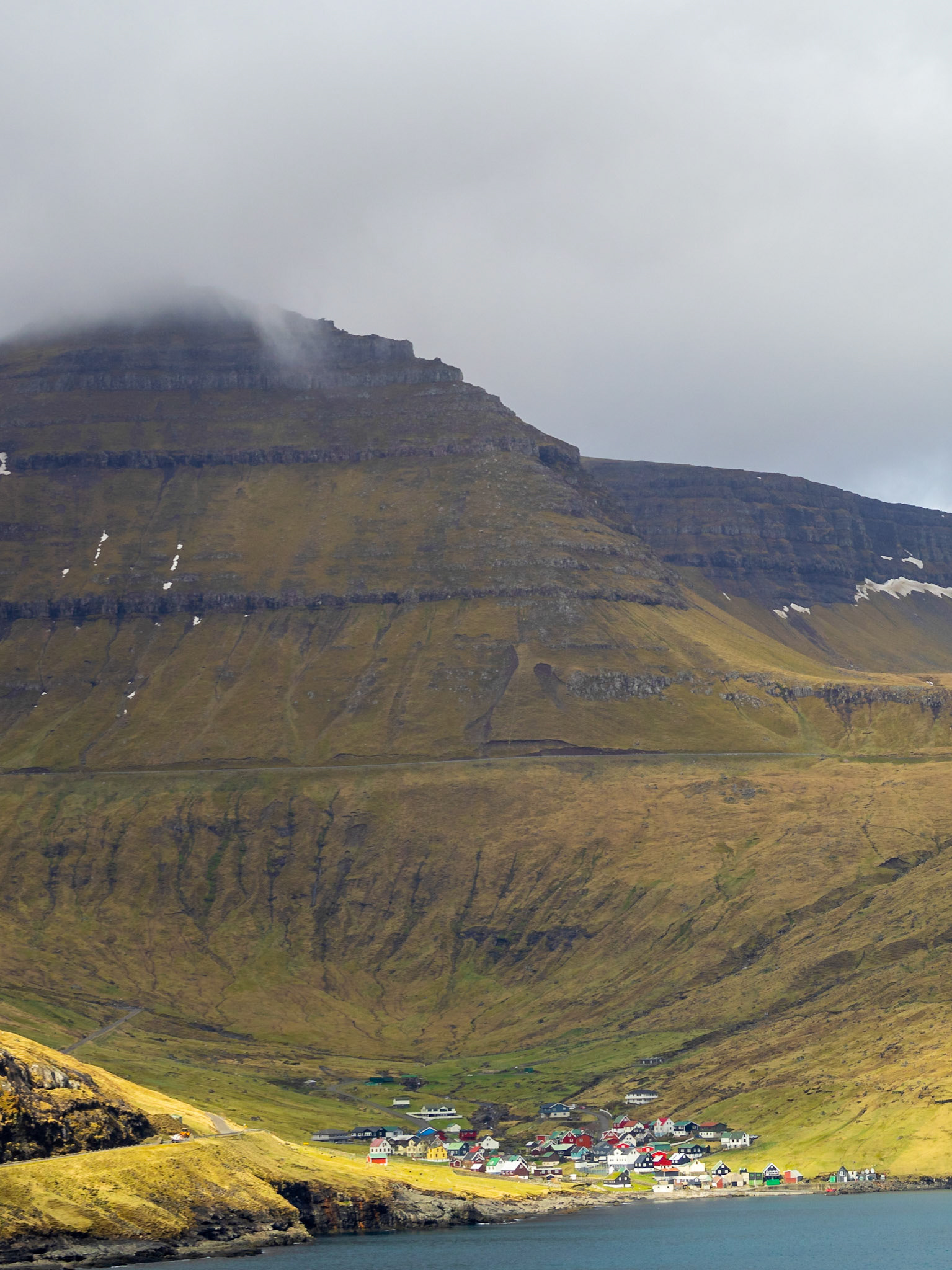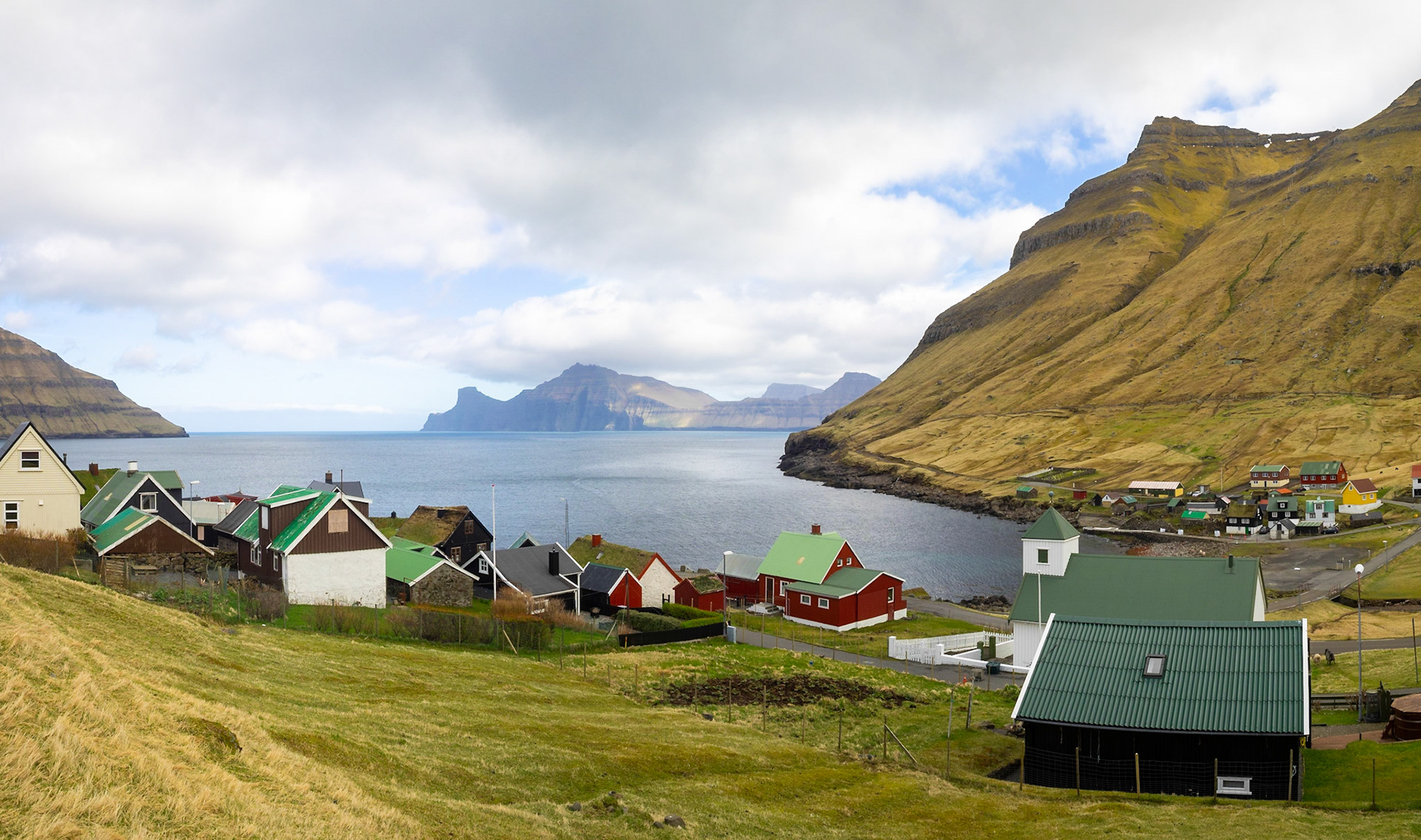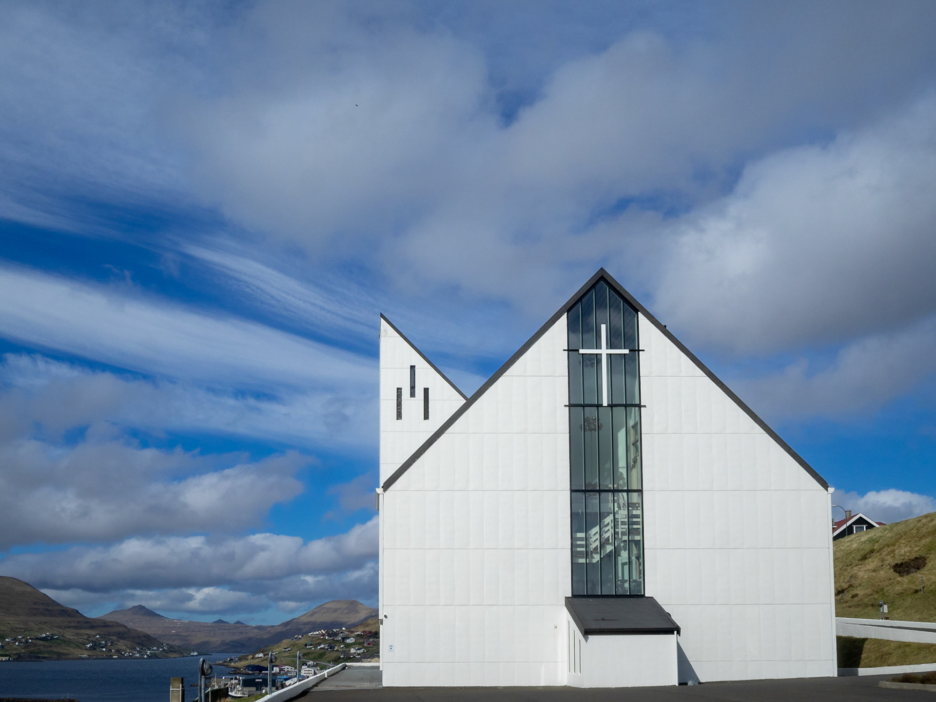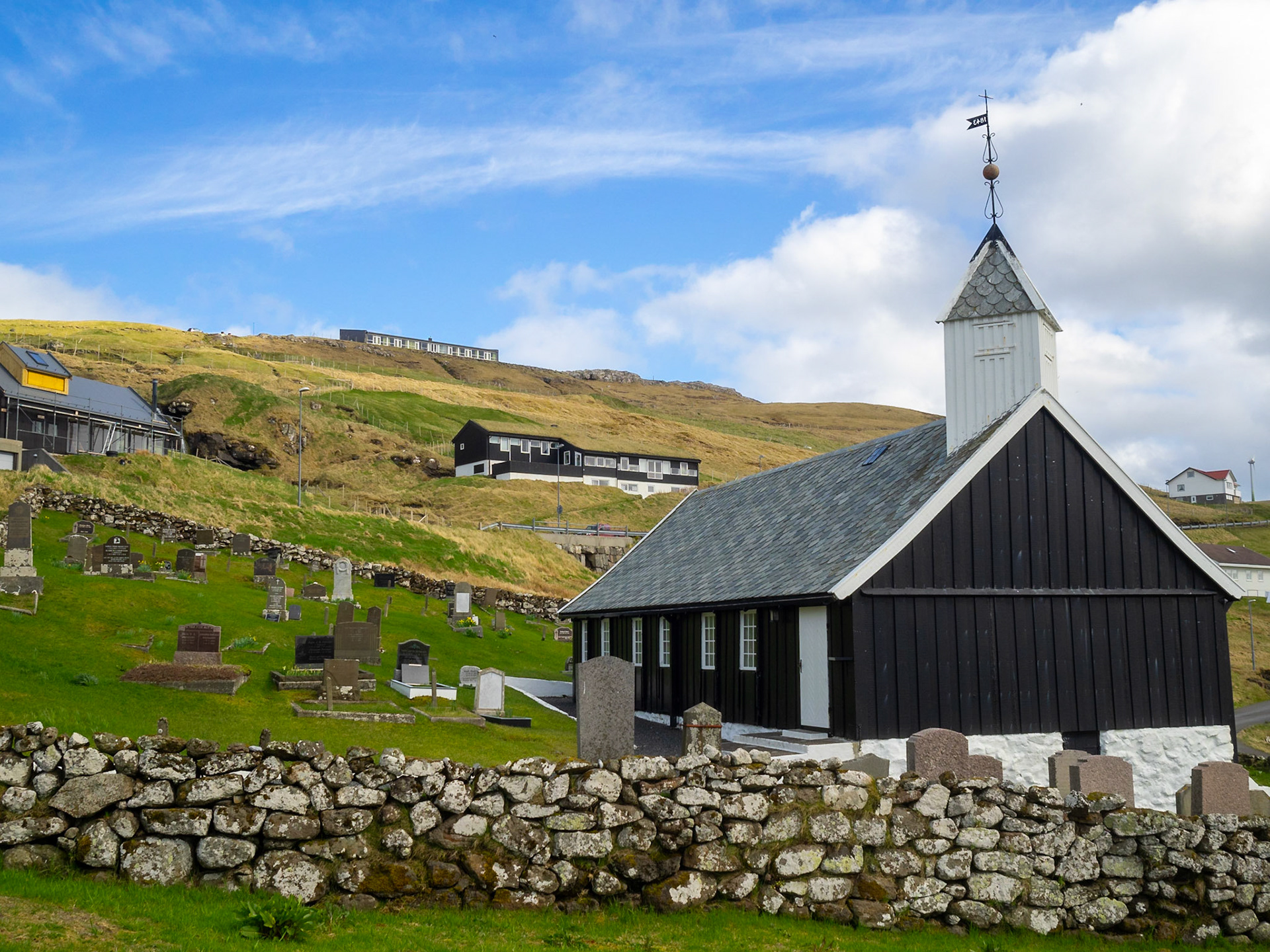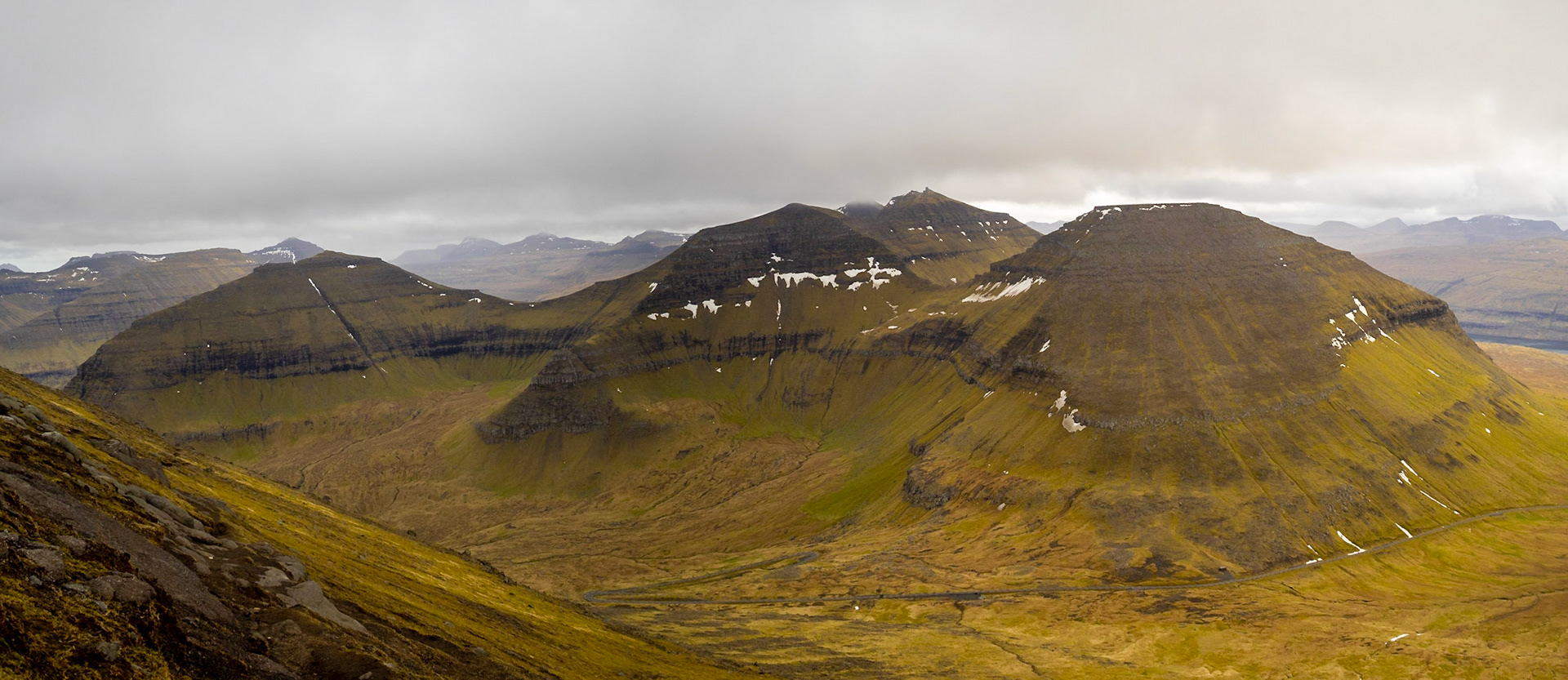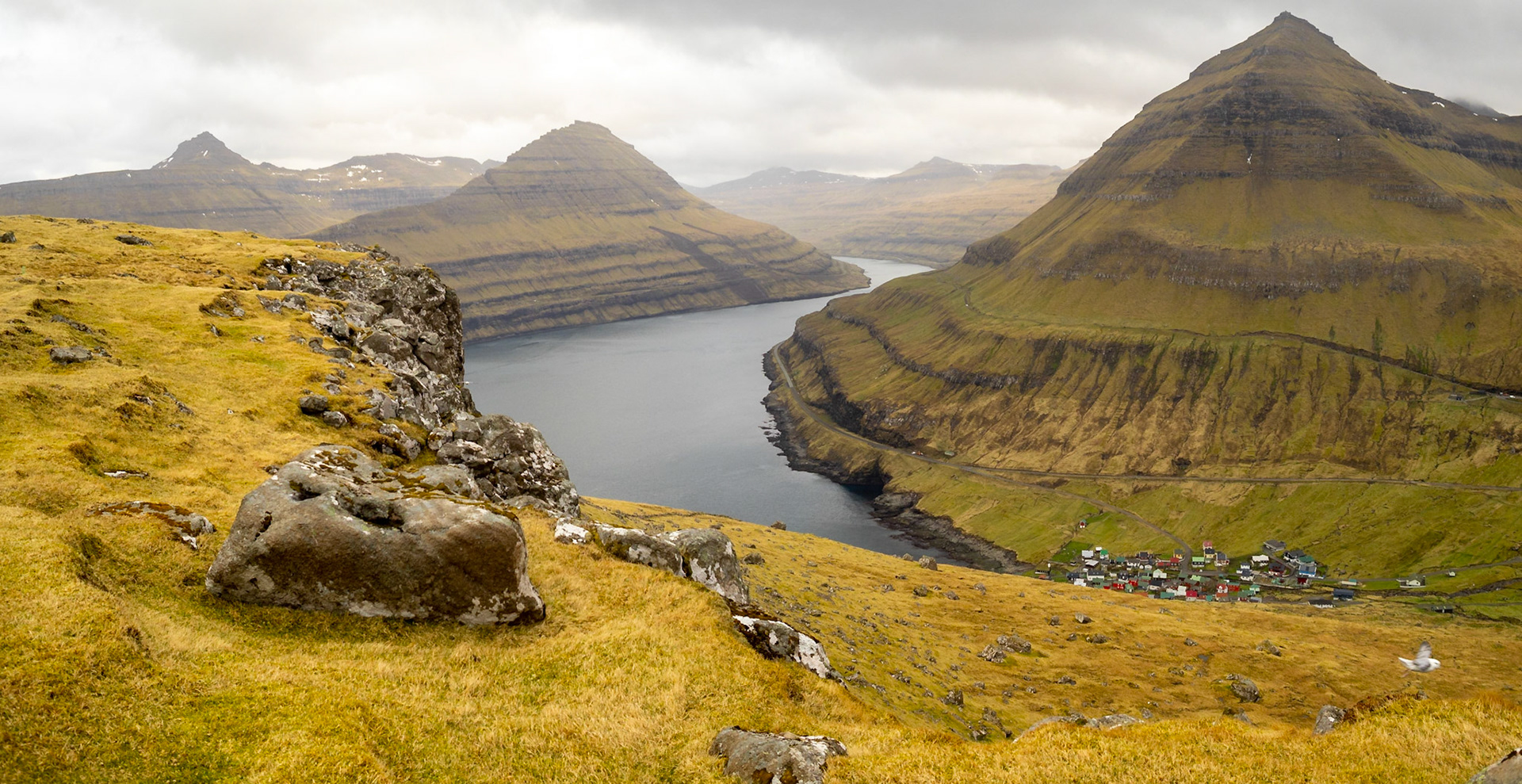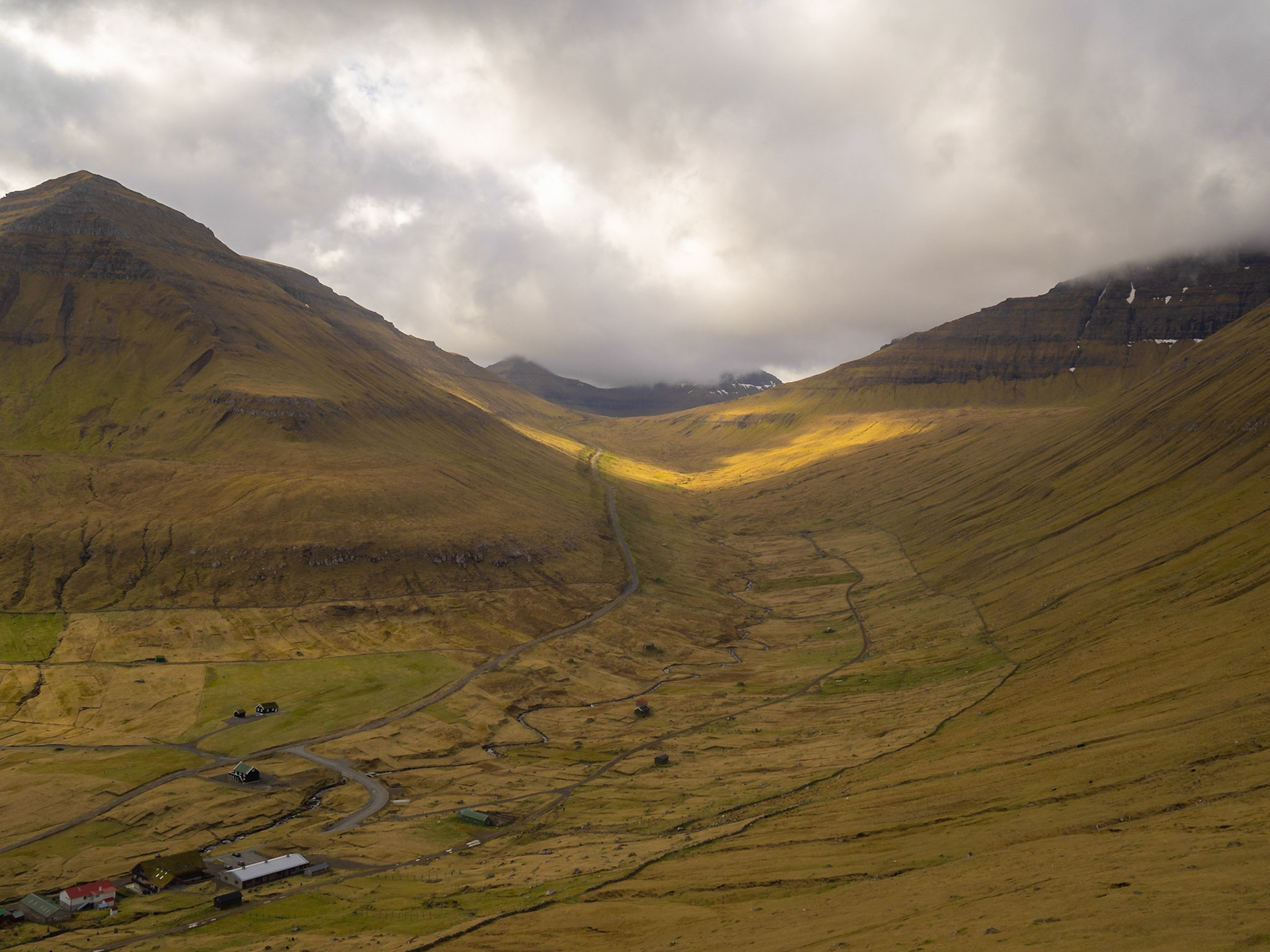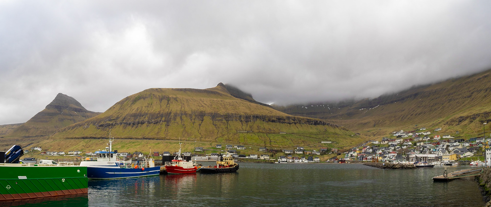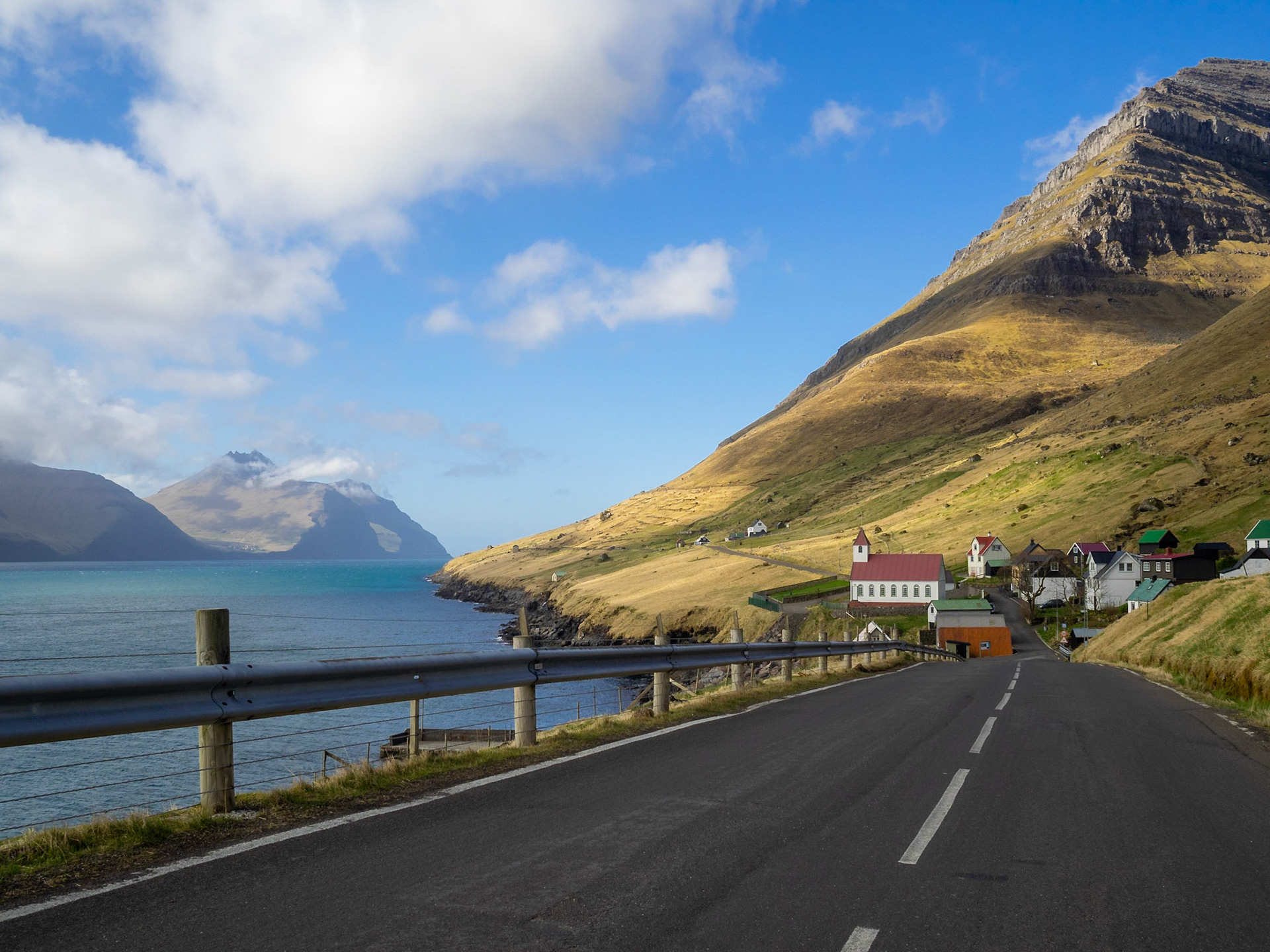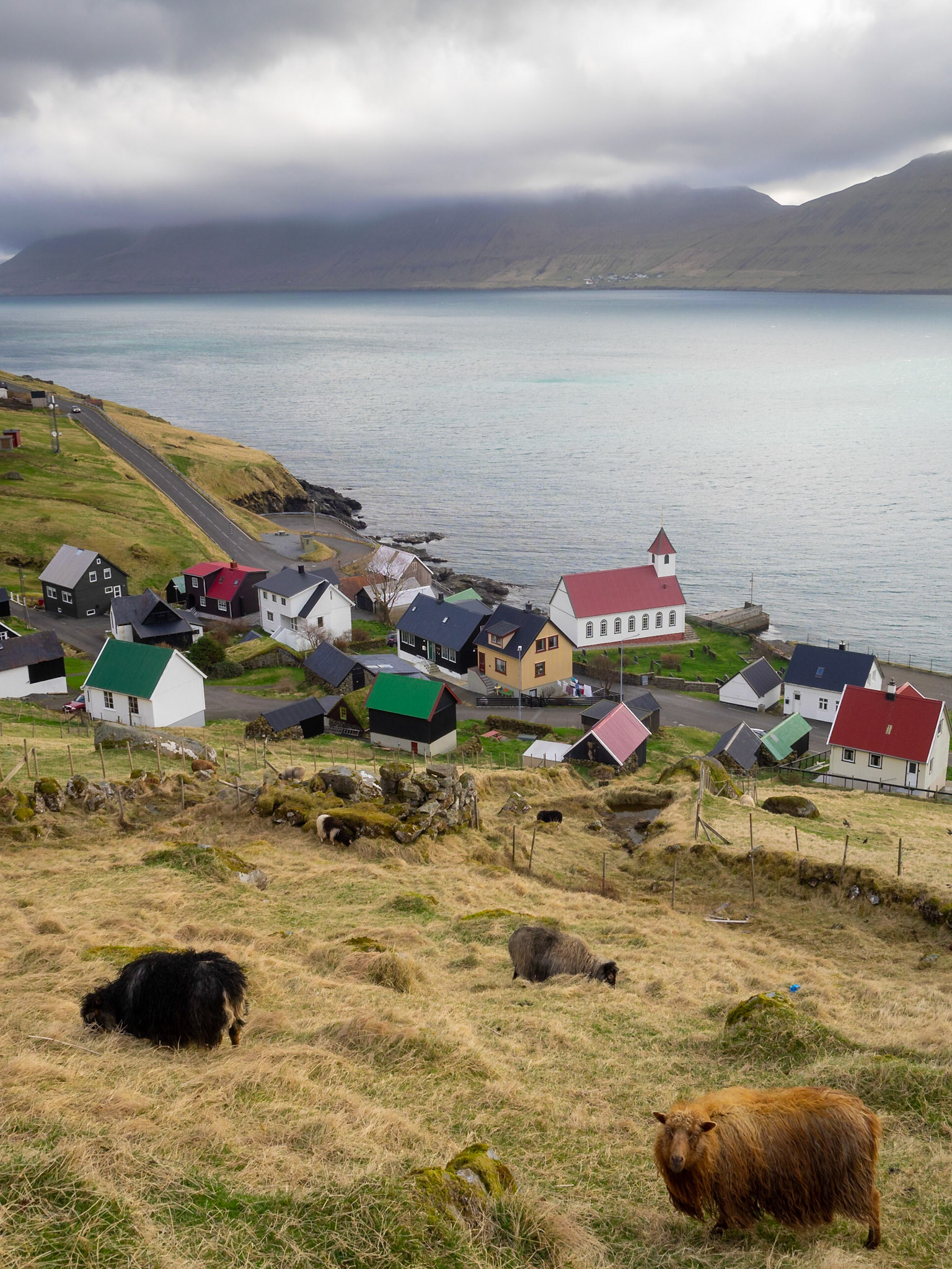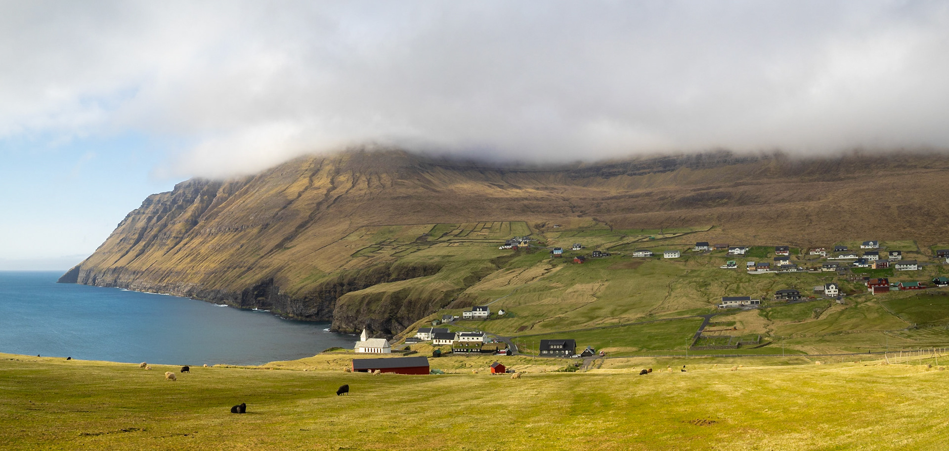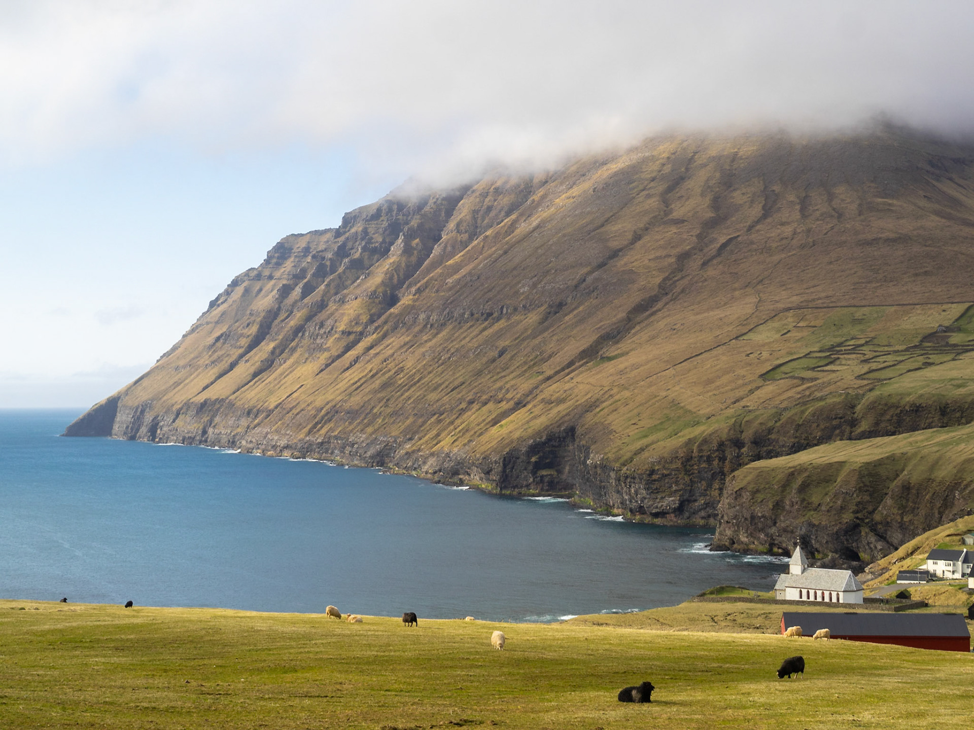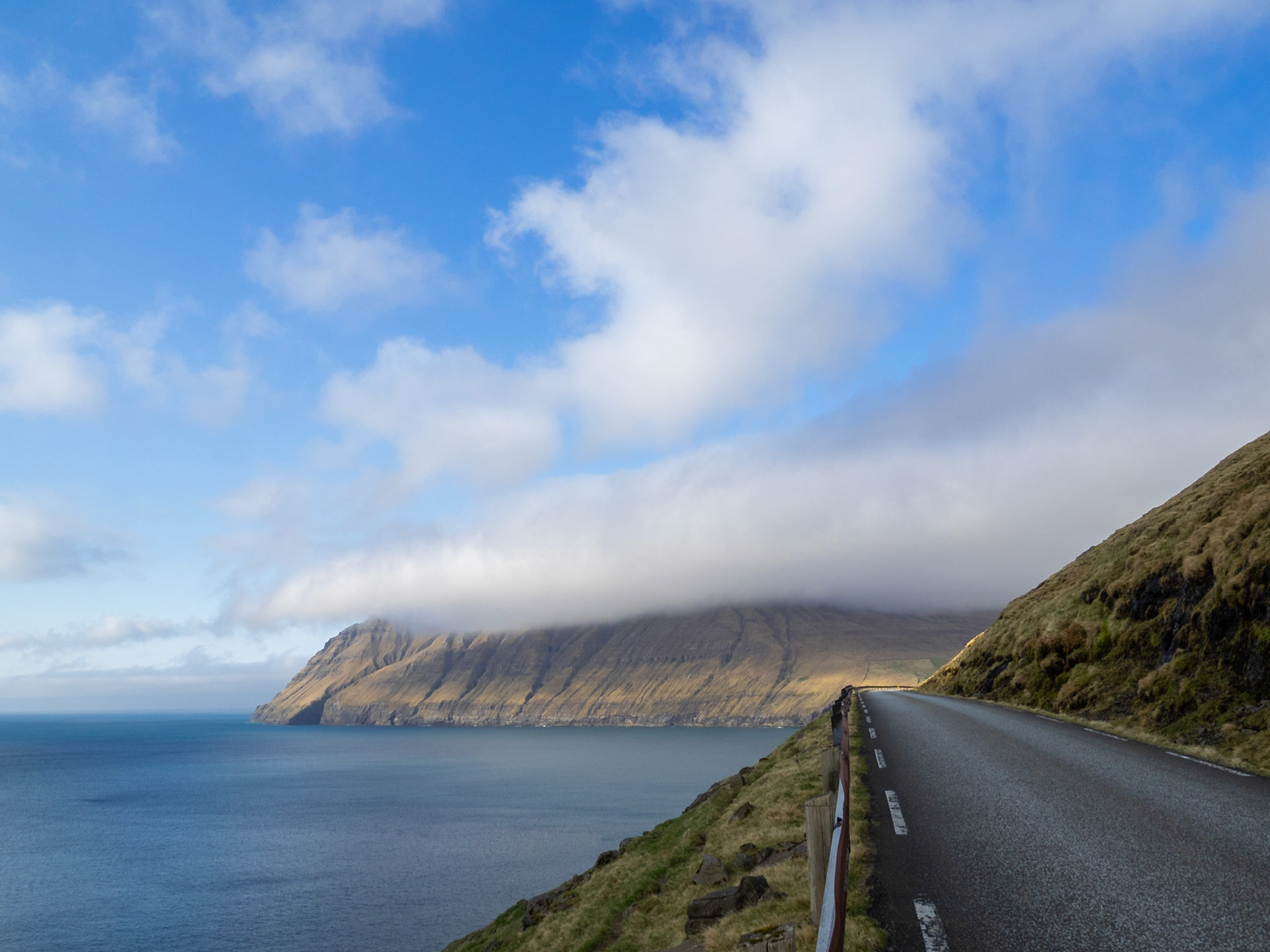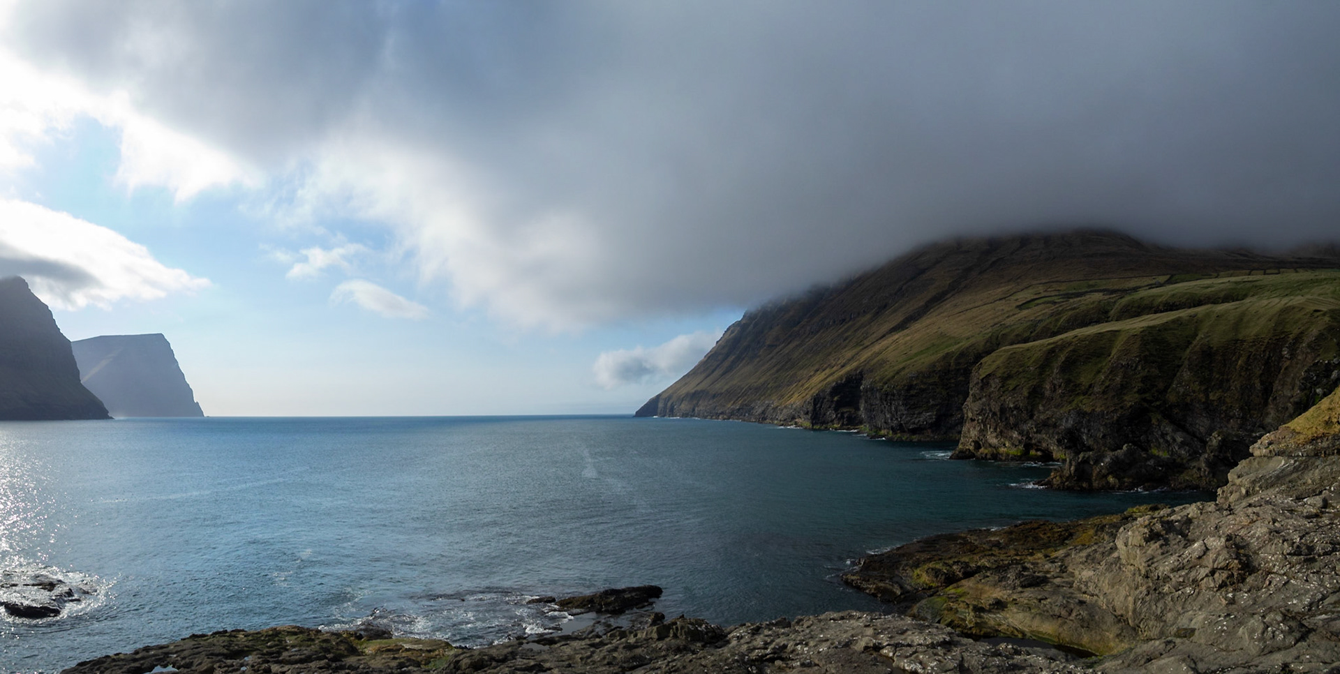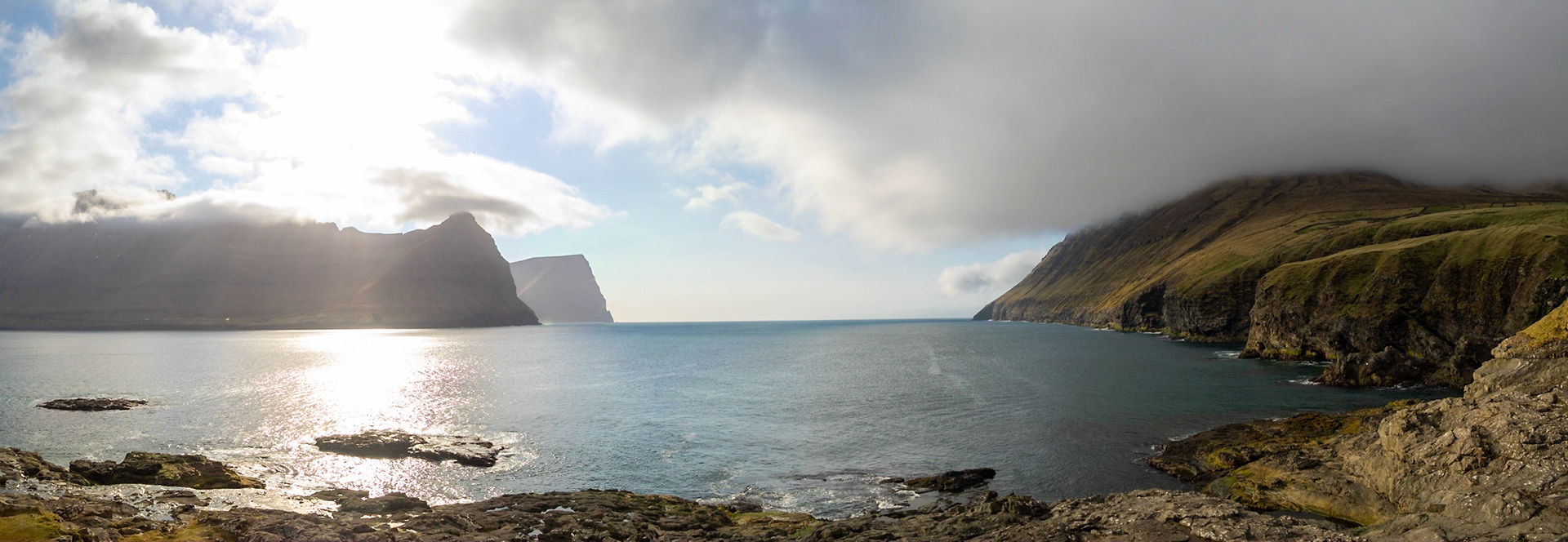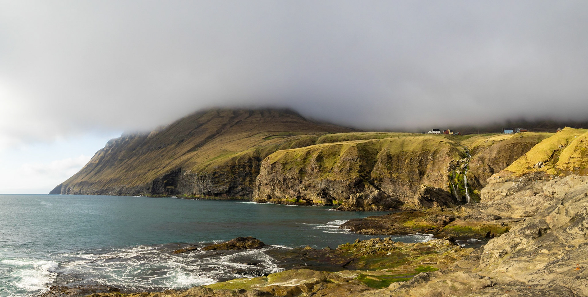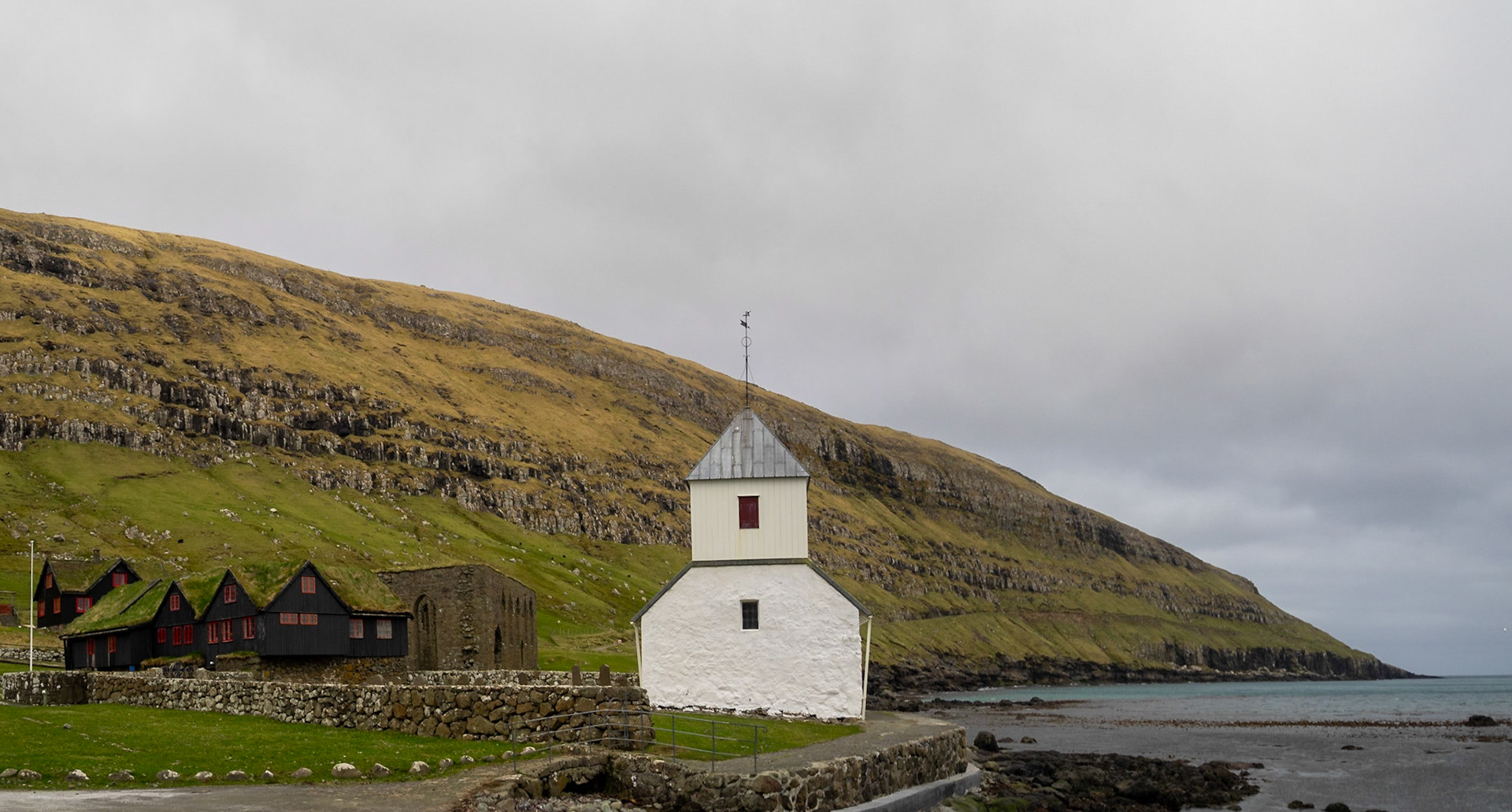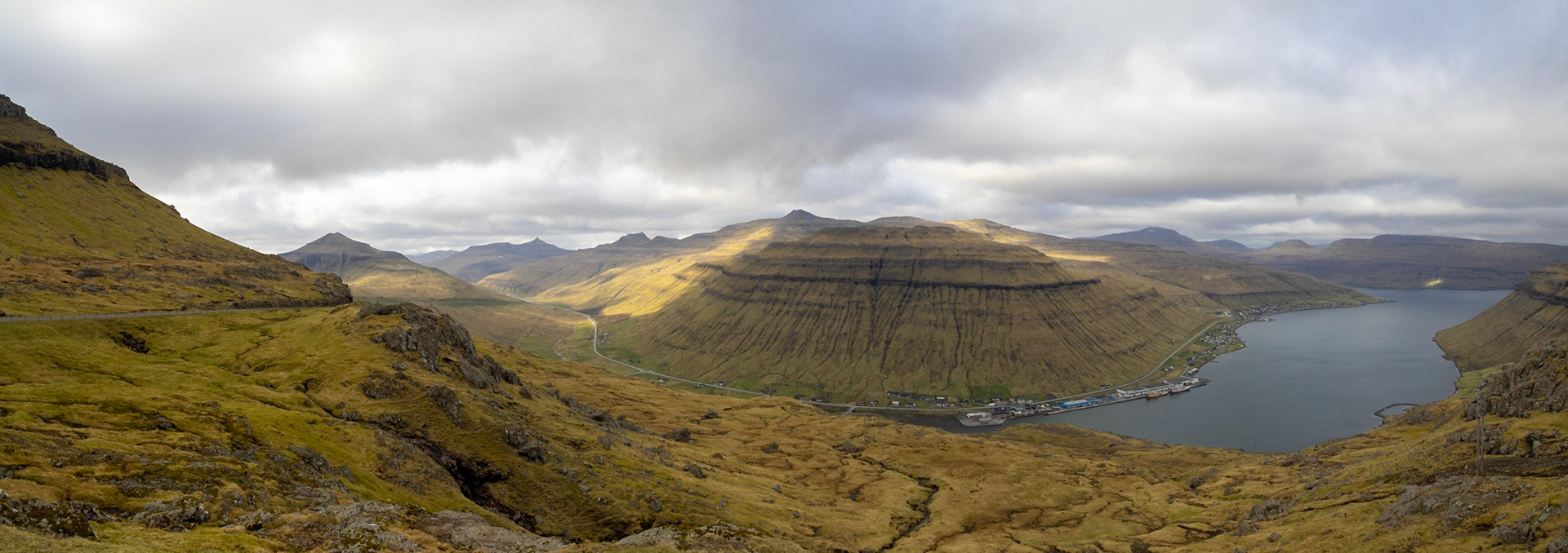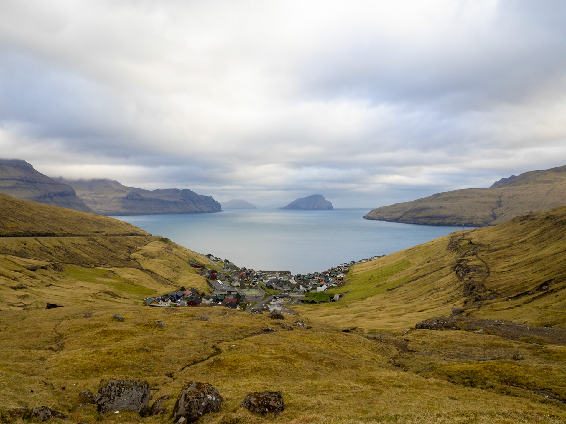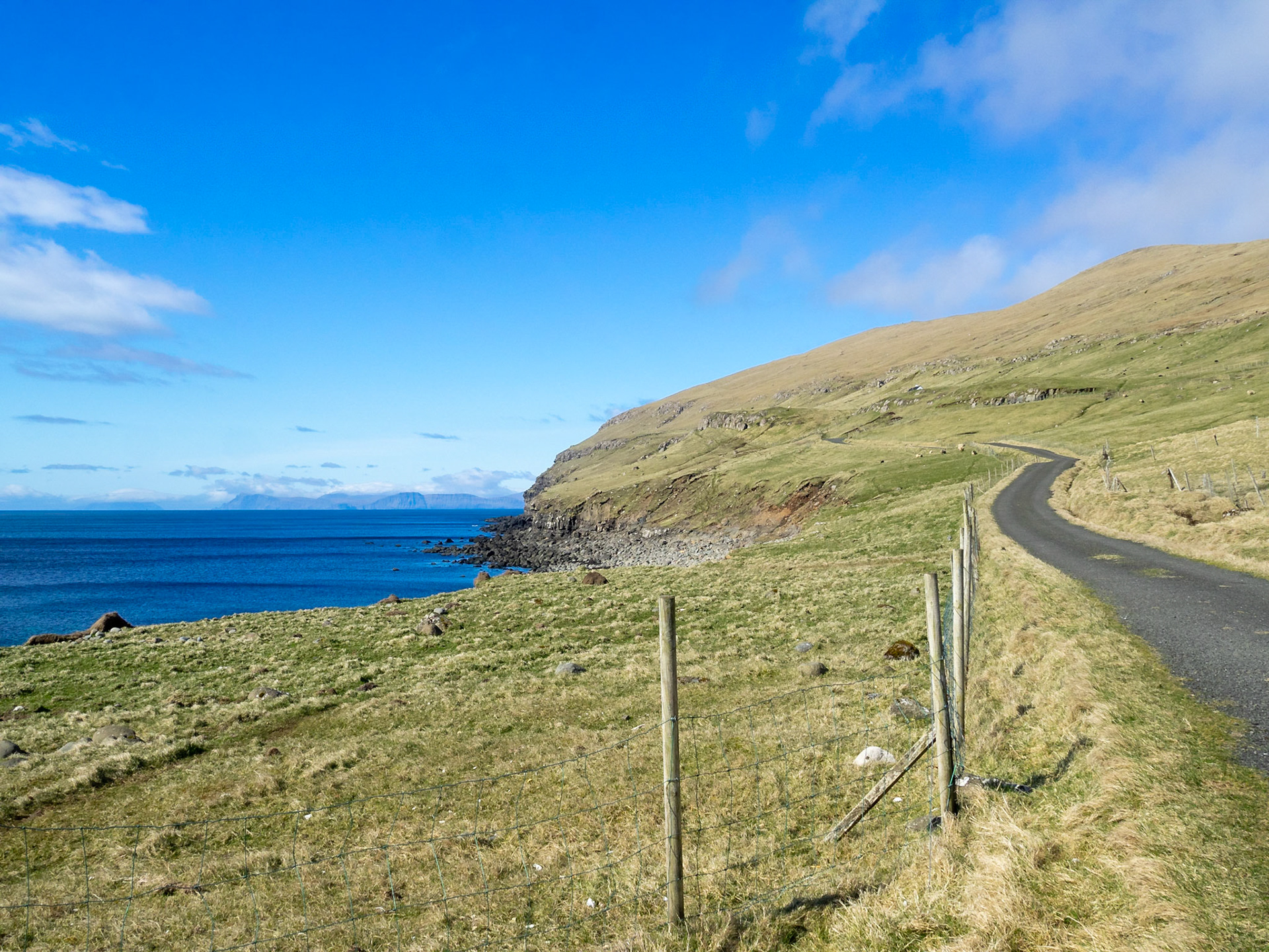
Sandavágur panorama in a rainy day

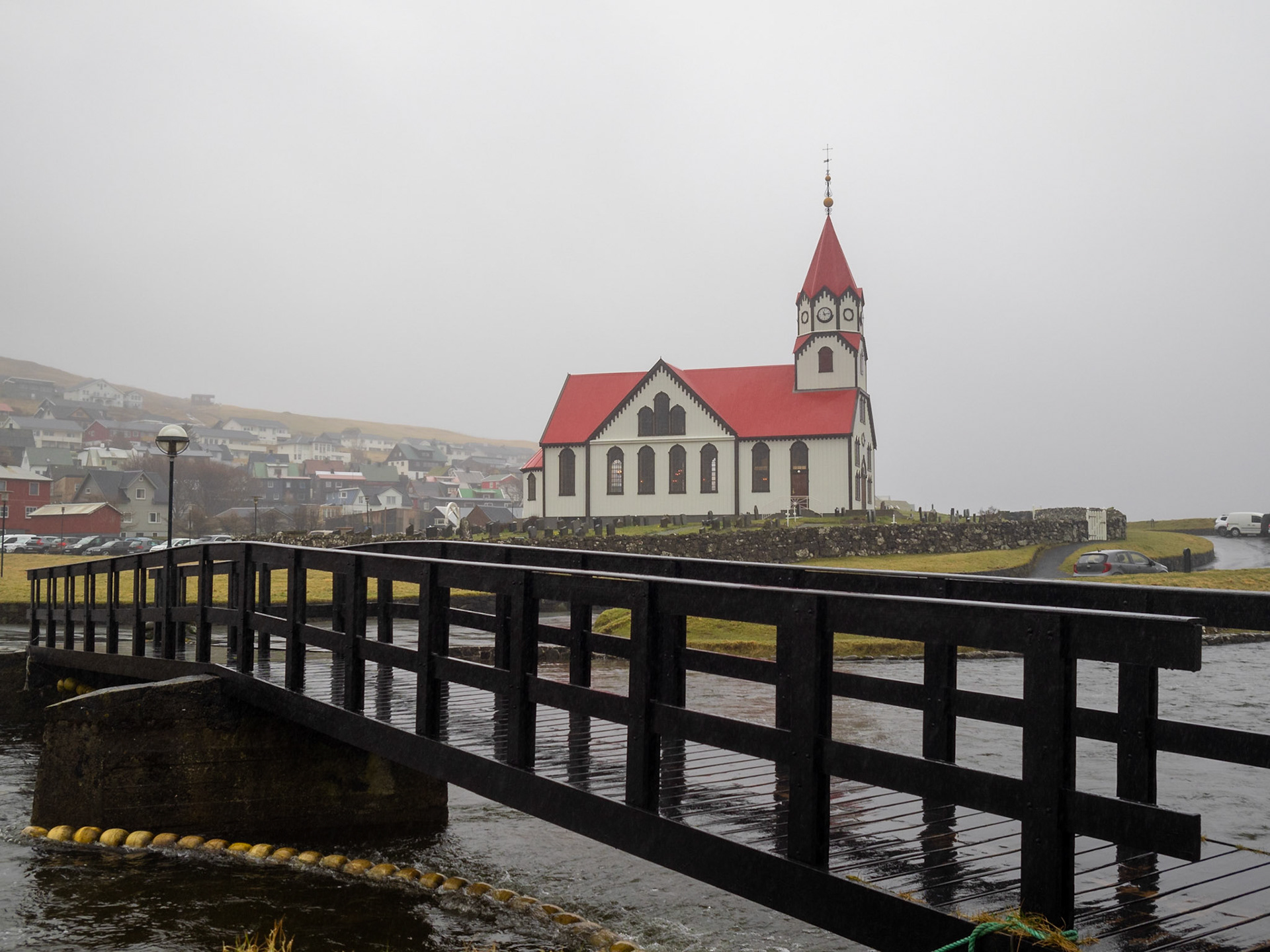
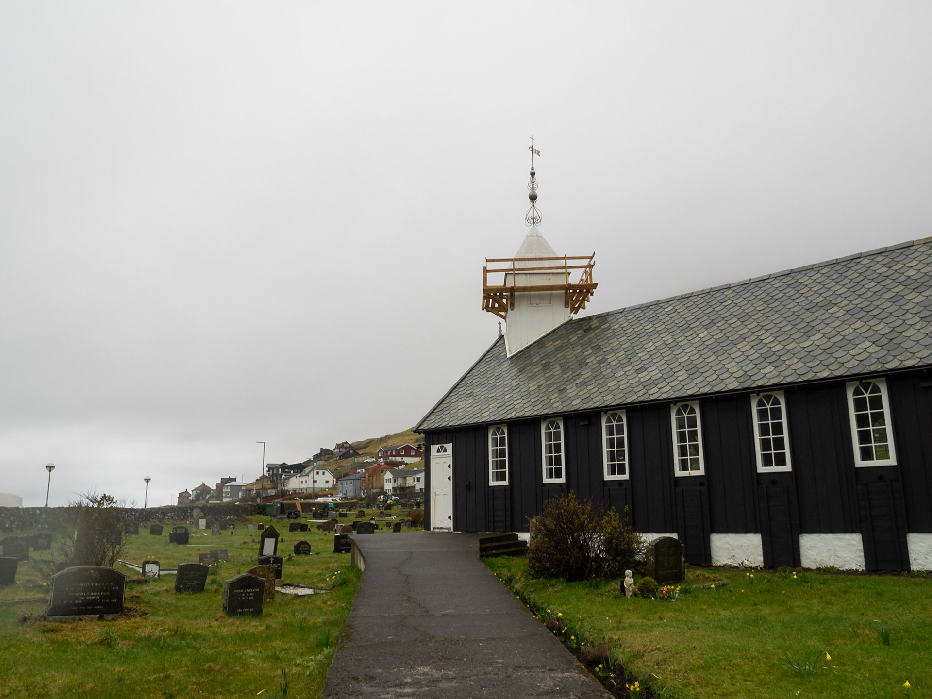
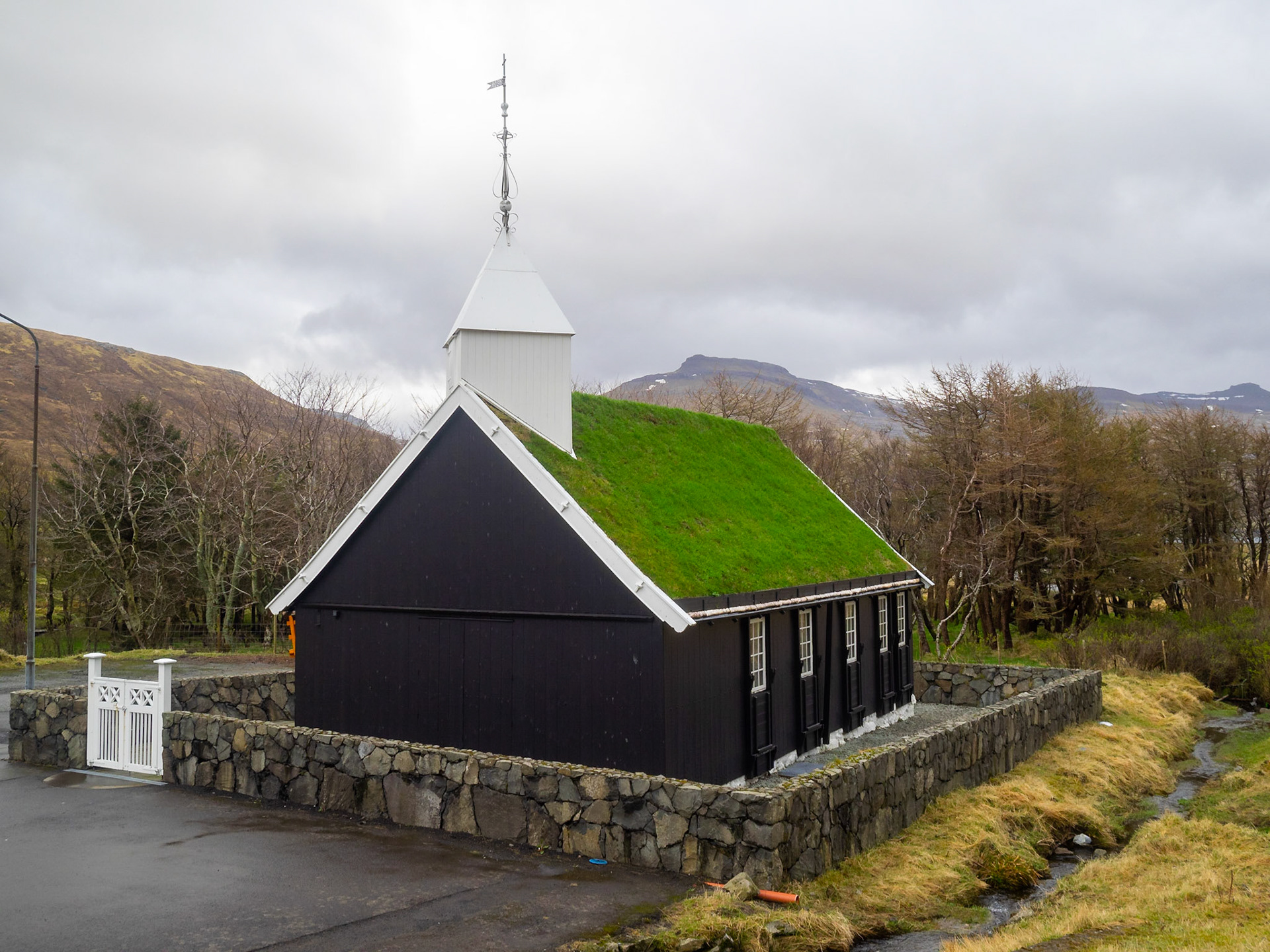
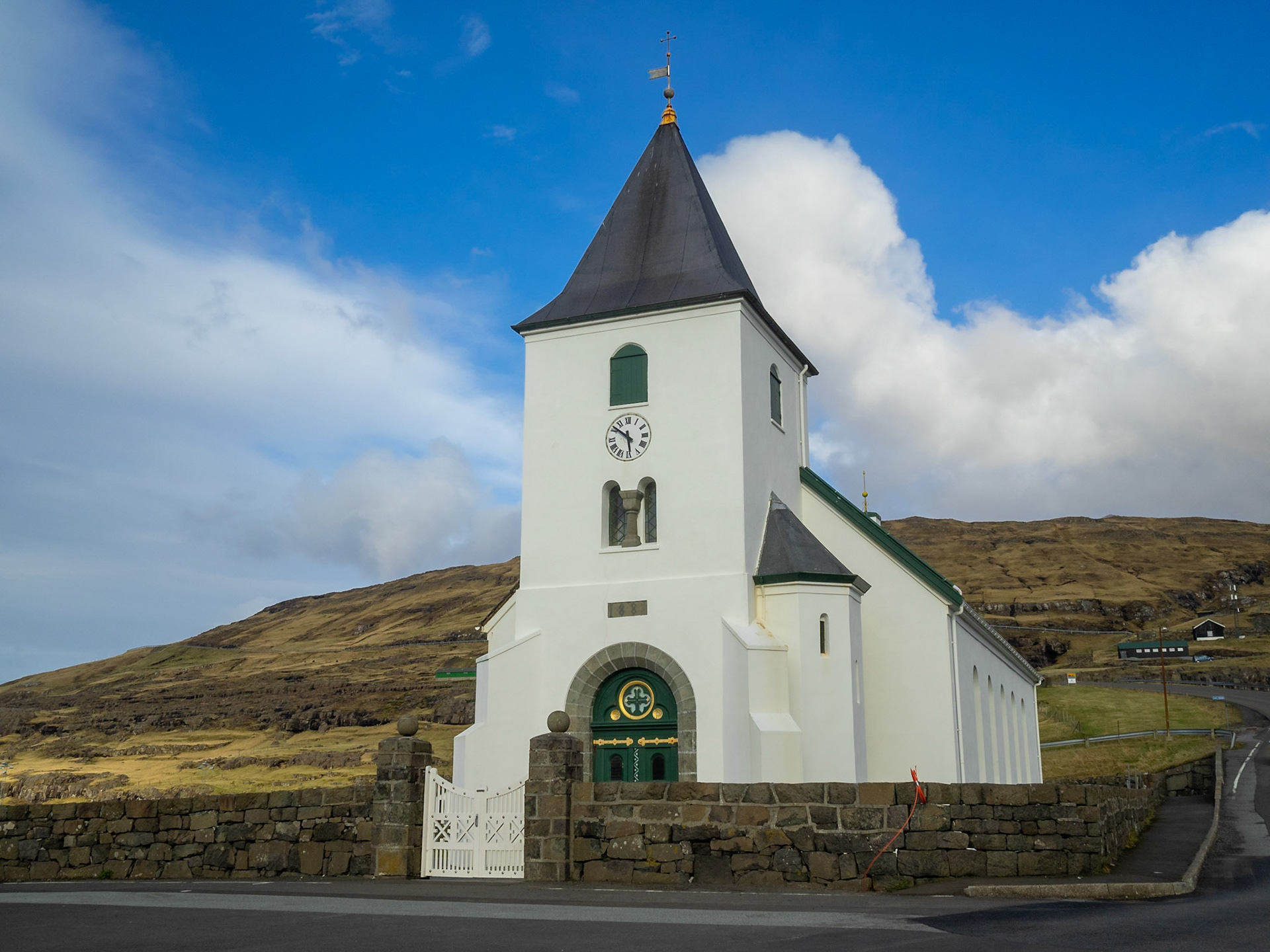
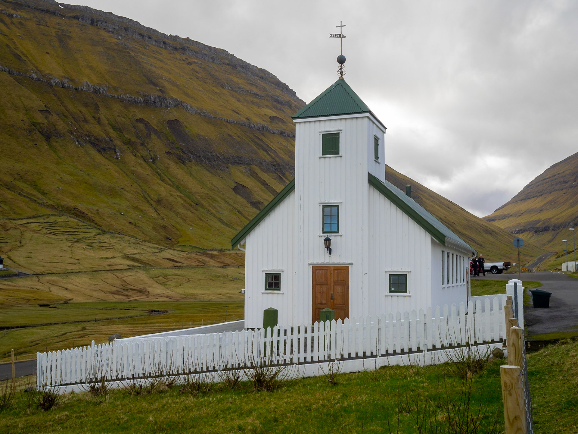
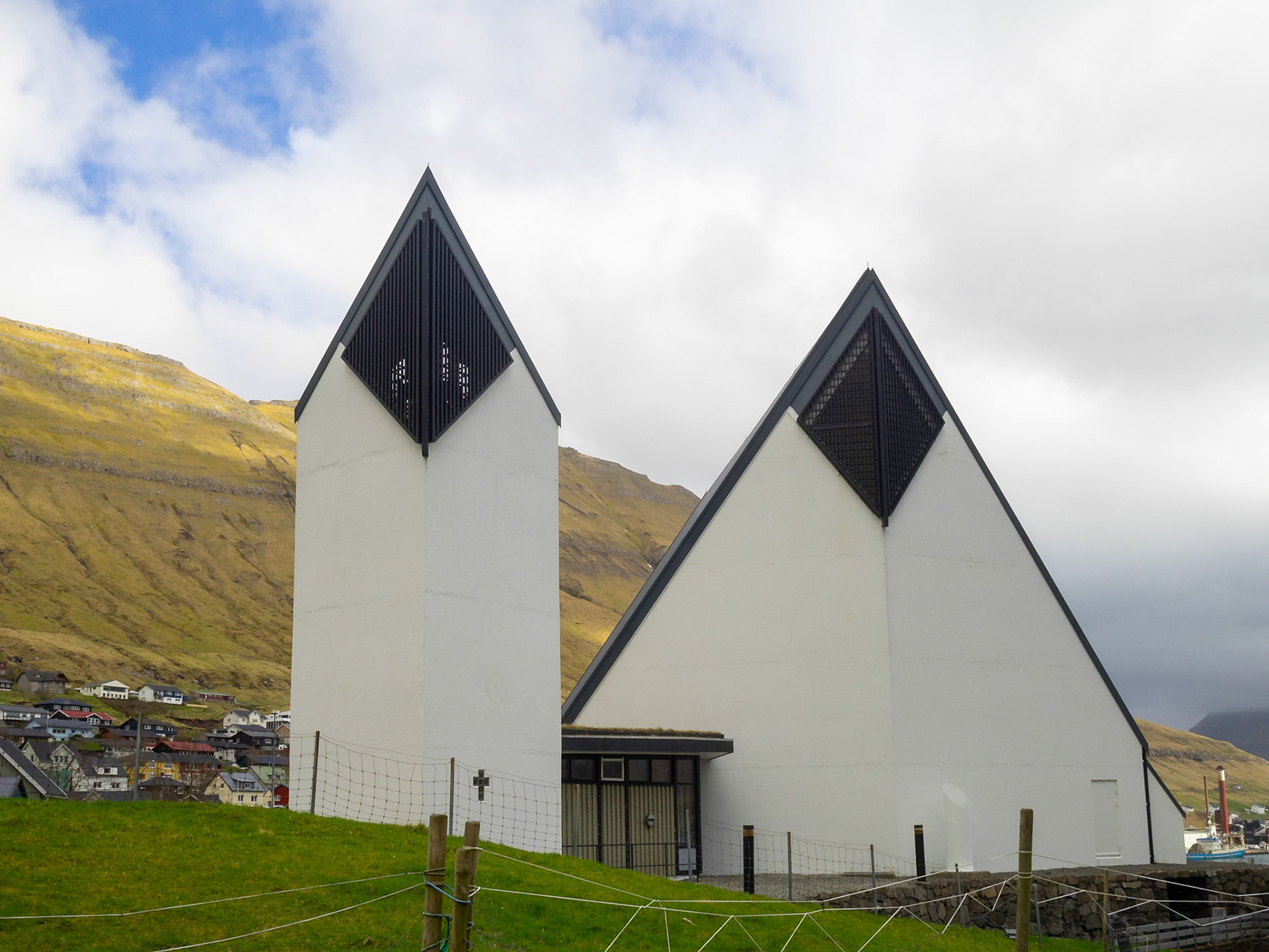
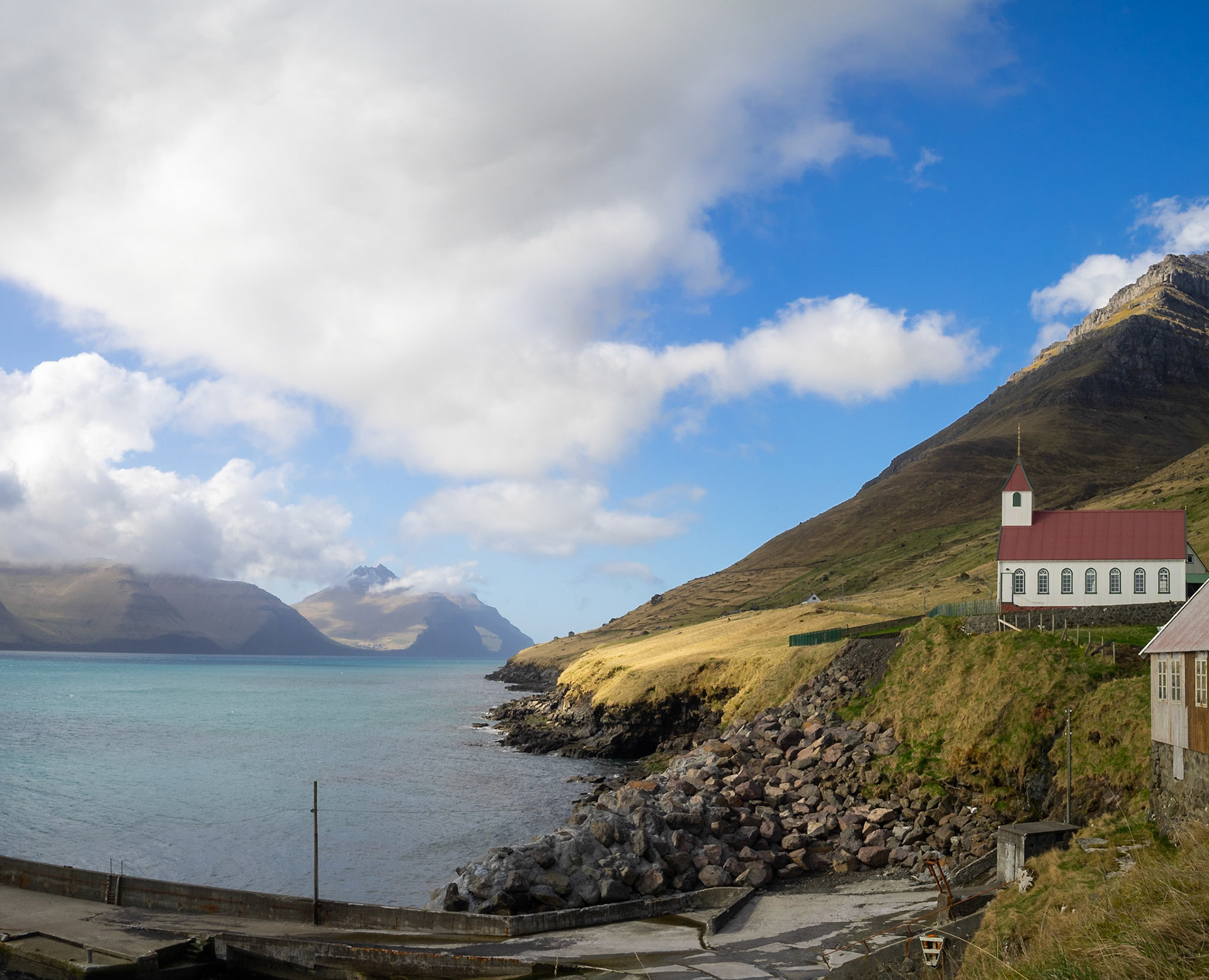
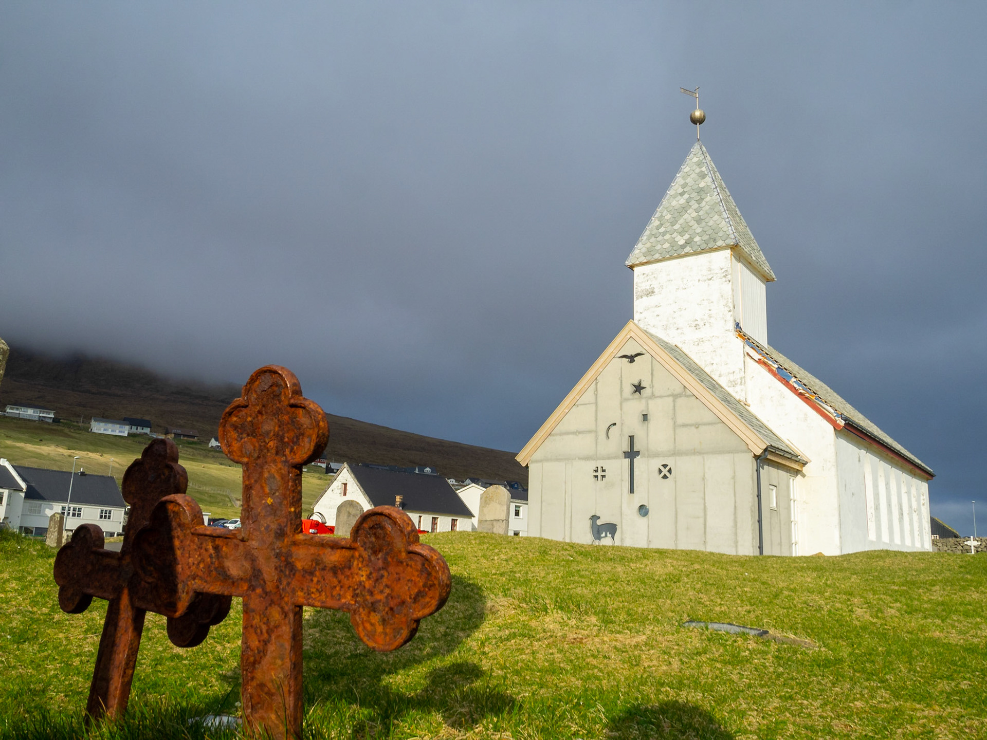
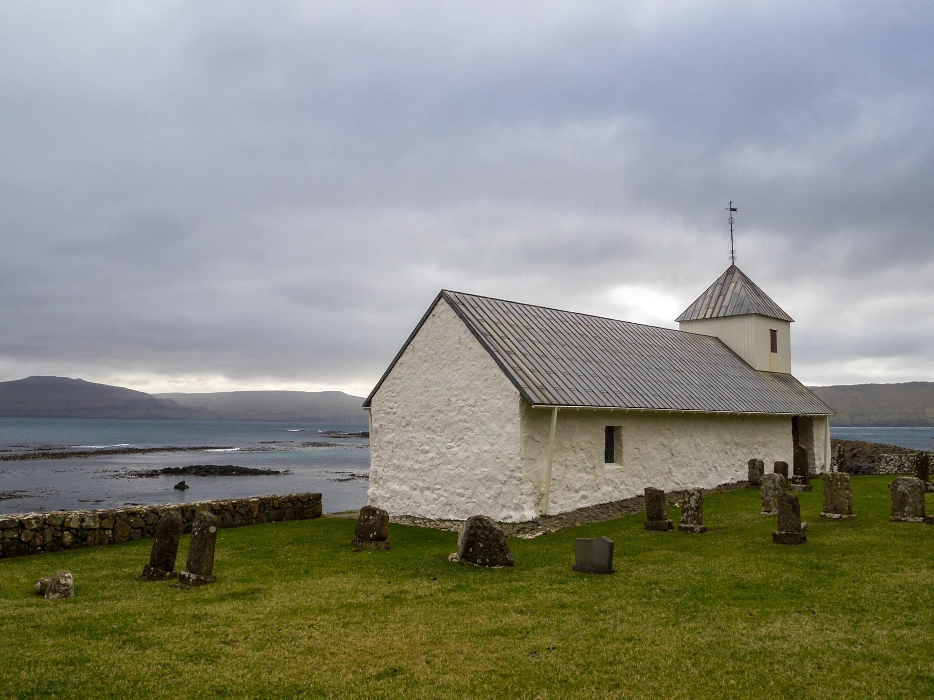
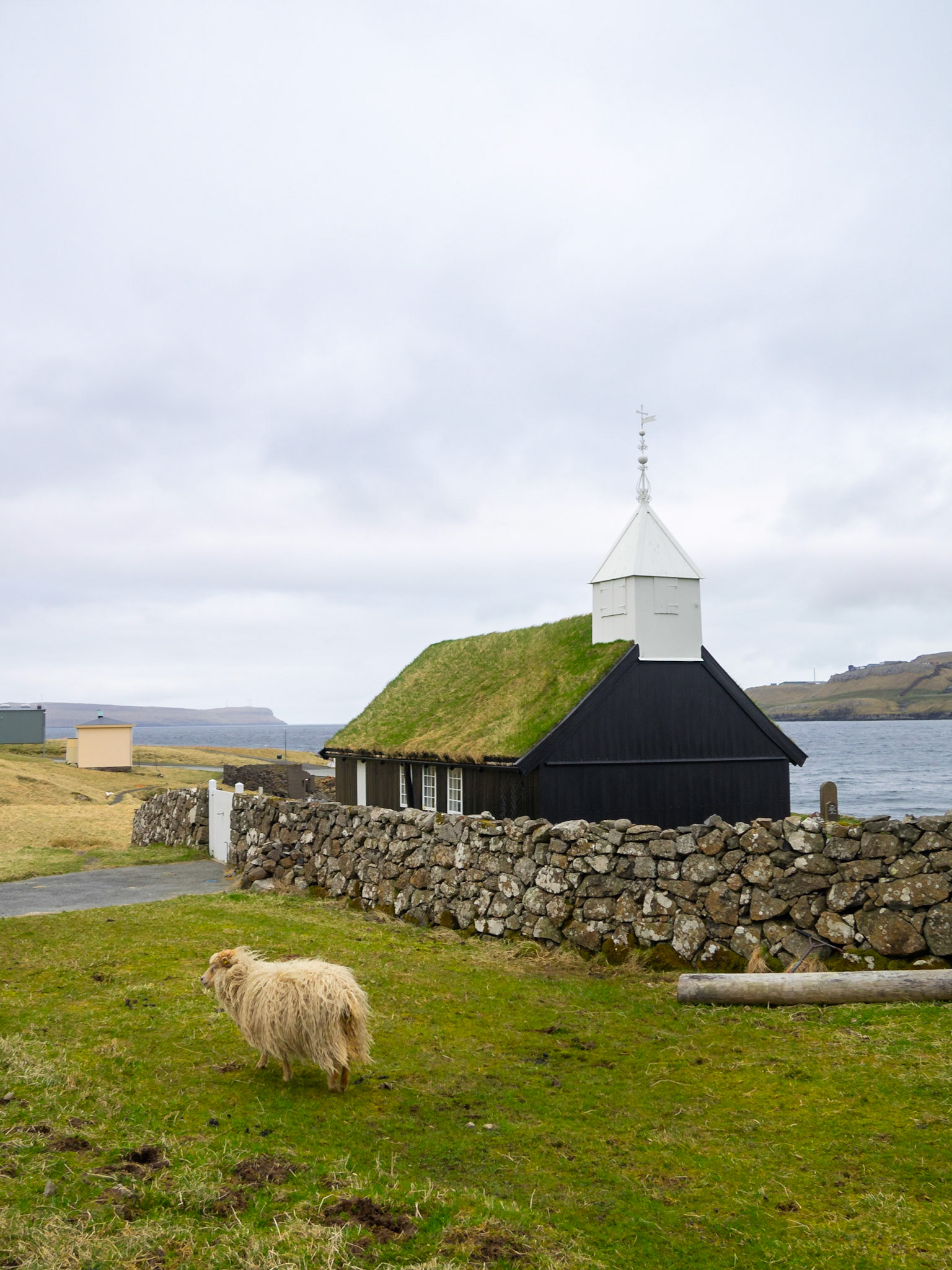
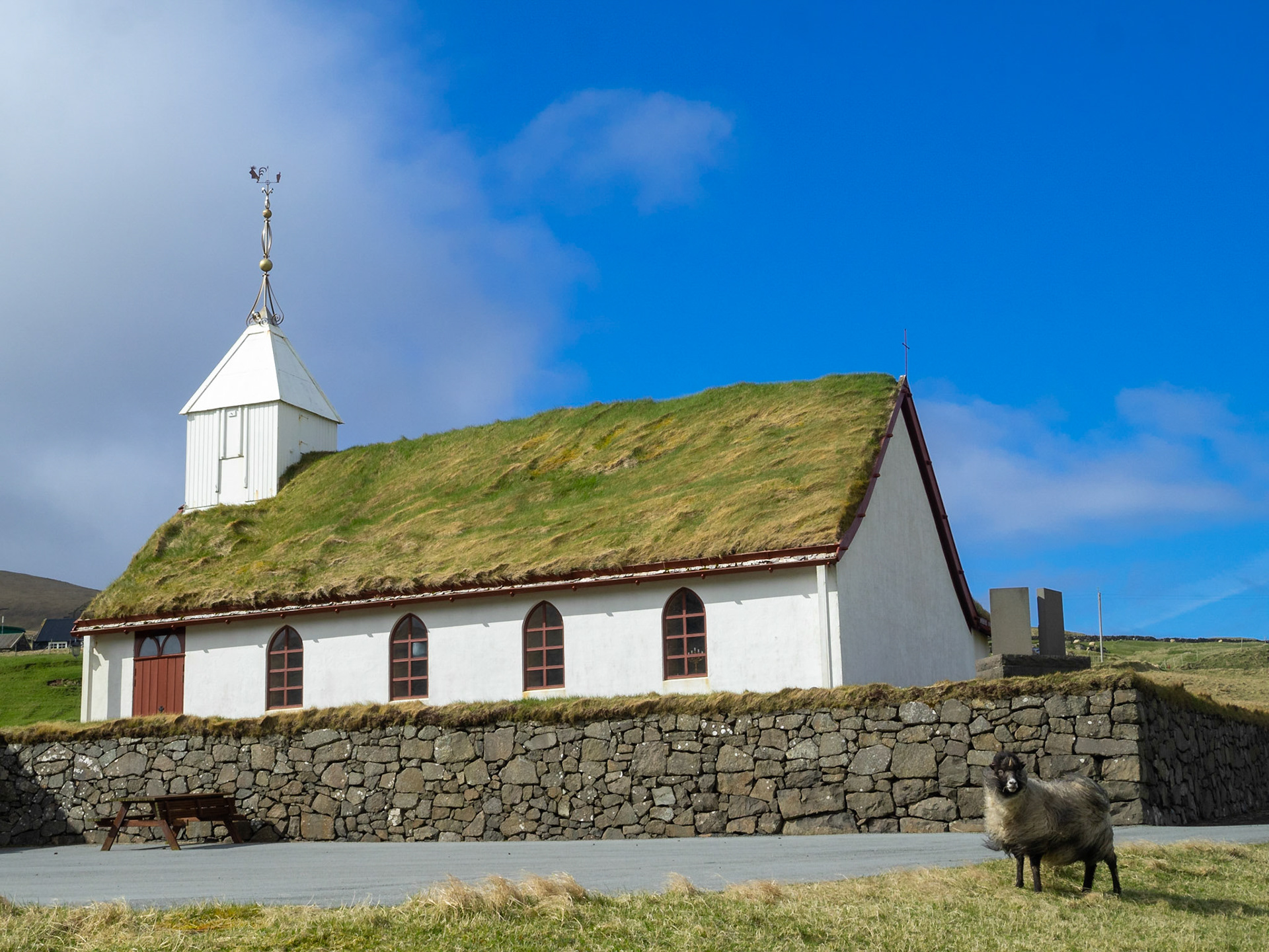
Sandavágur church in a rainy day

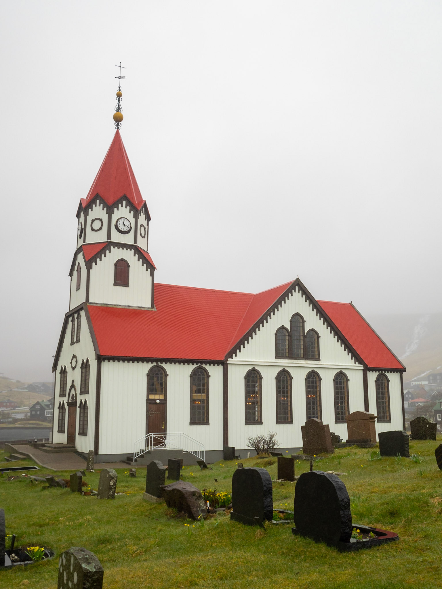
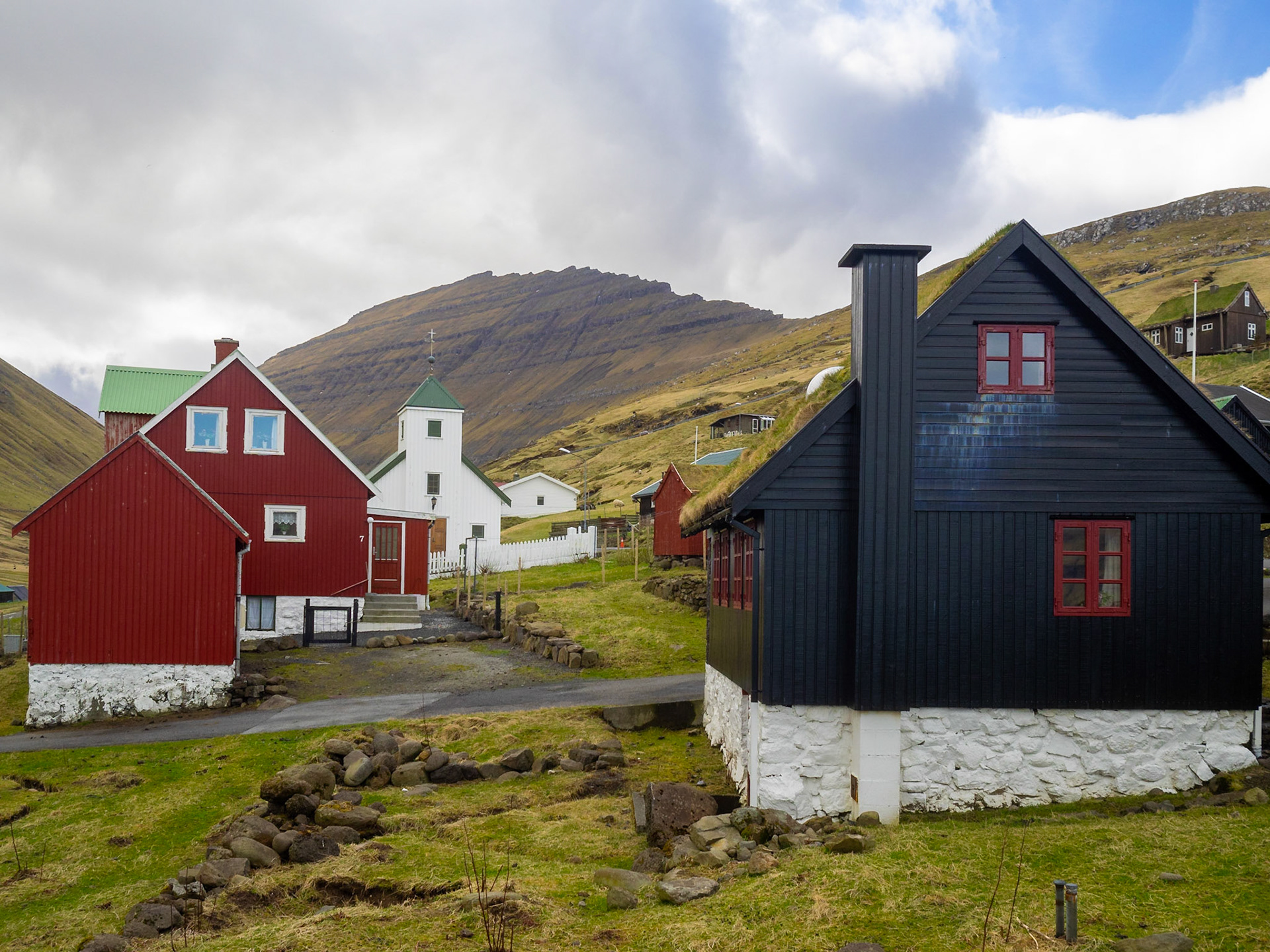
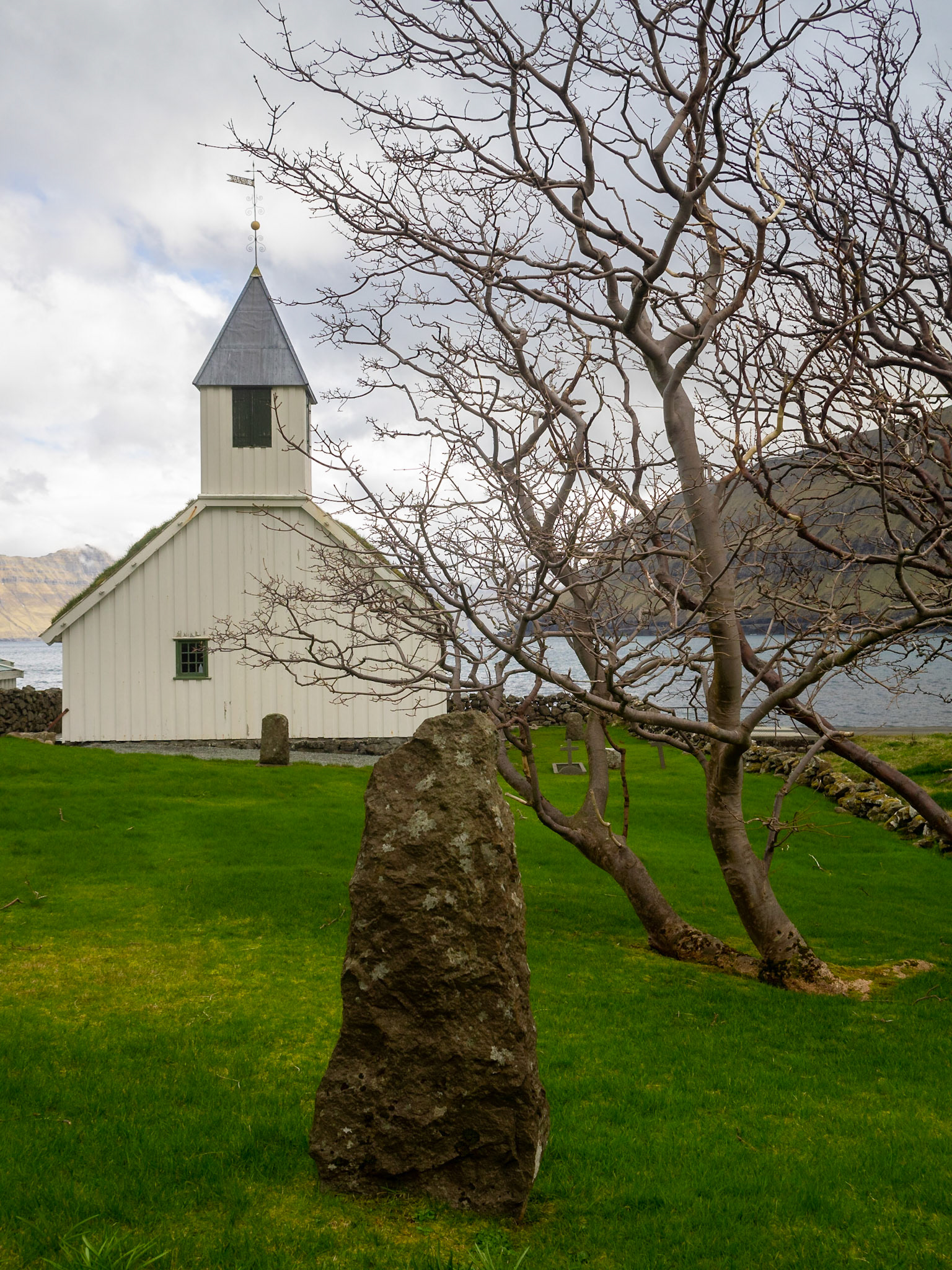
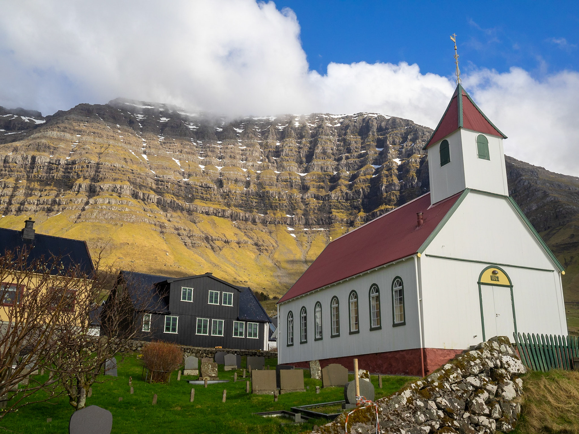
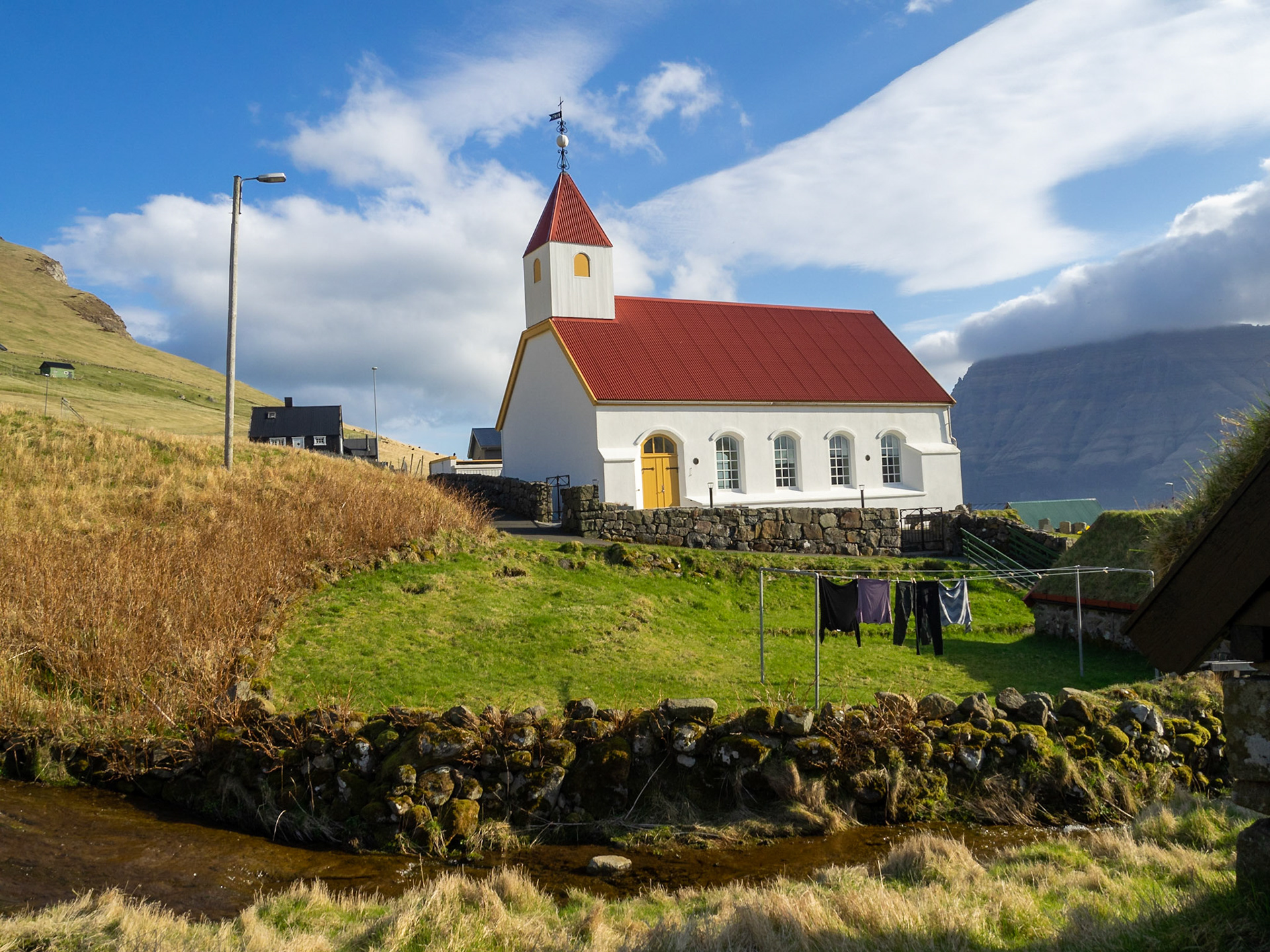
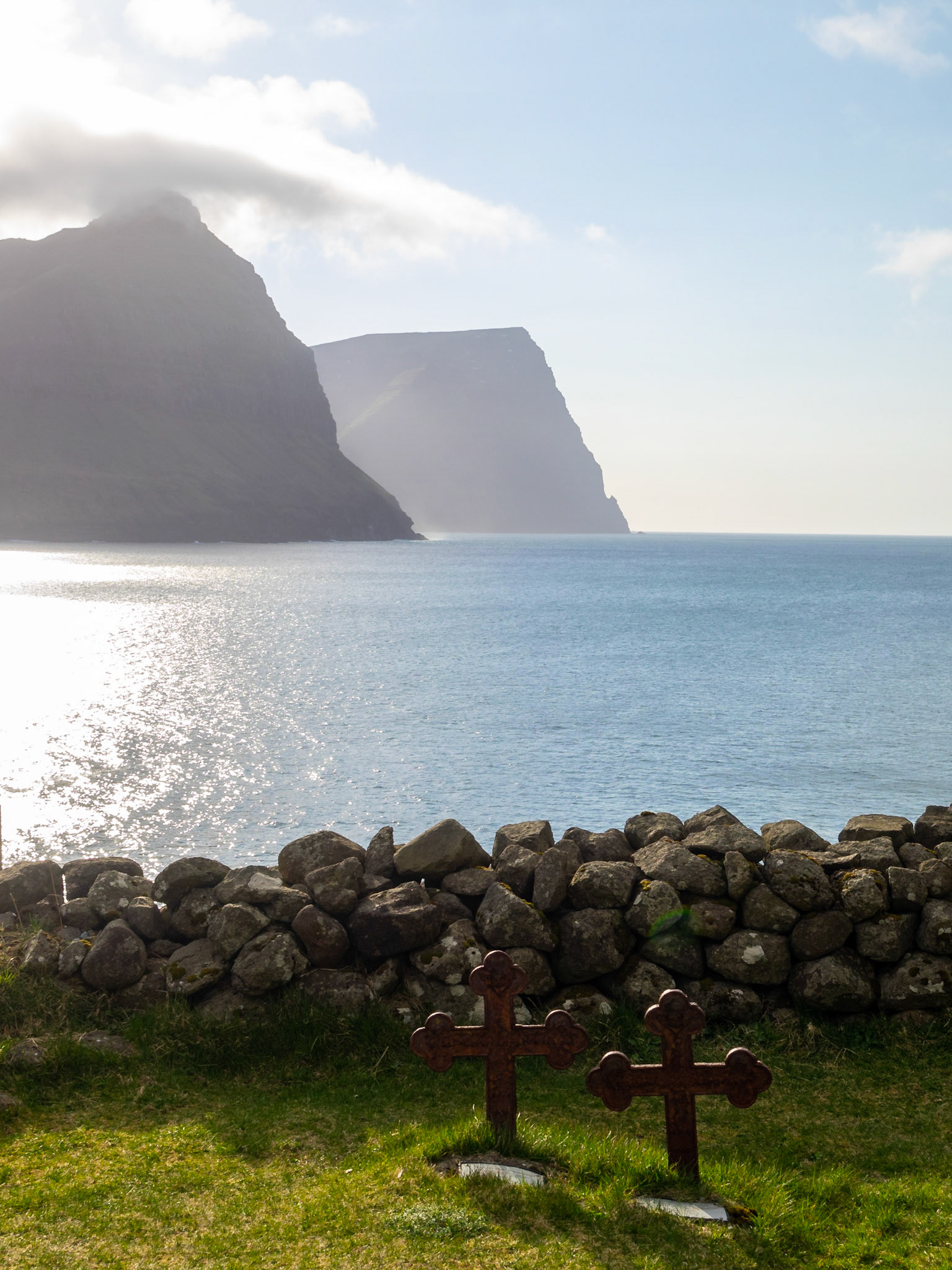
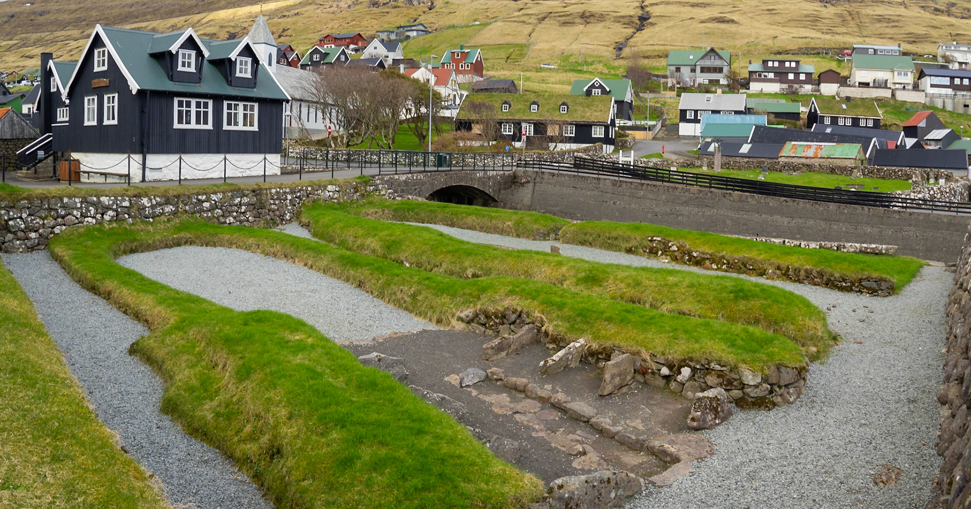
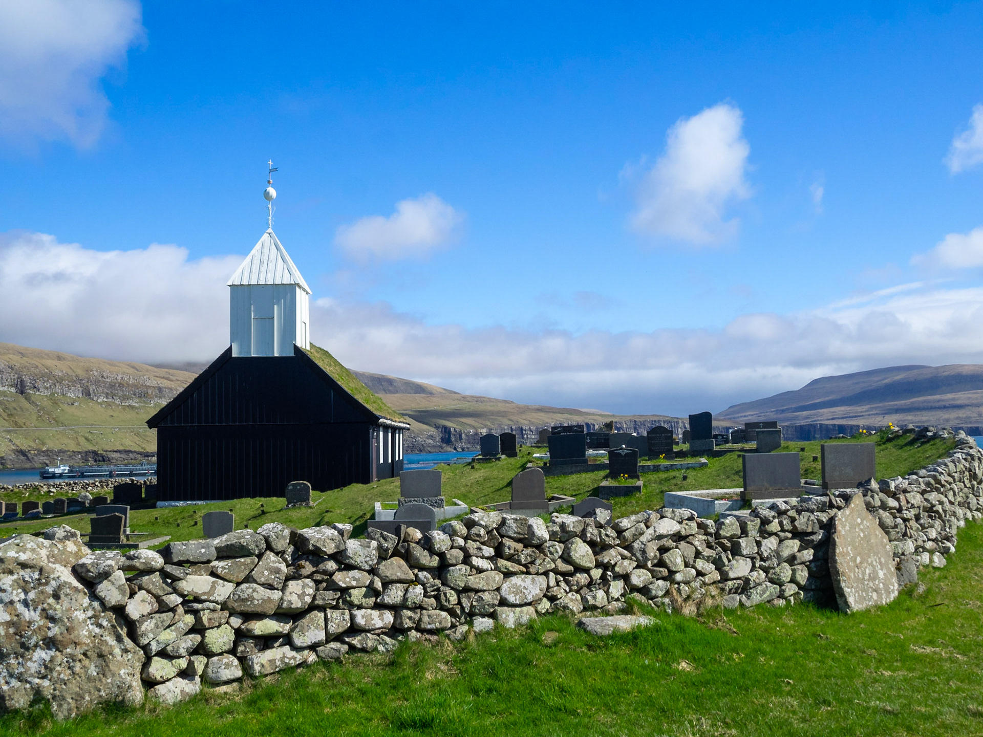
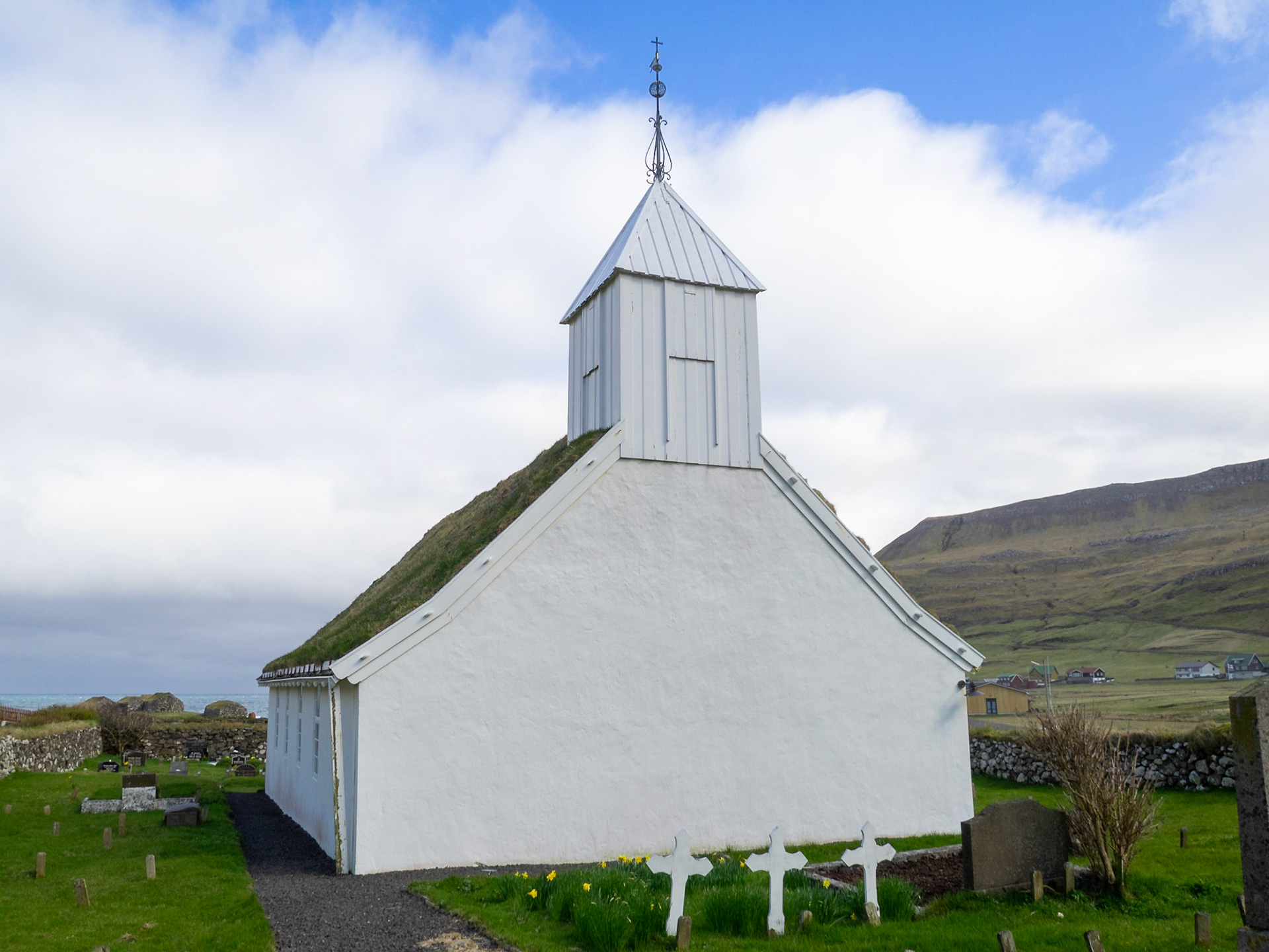
Sandavágur church and graveyard

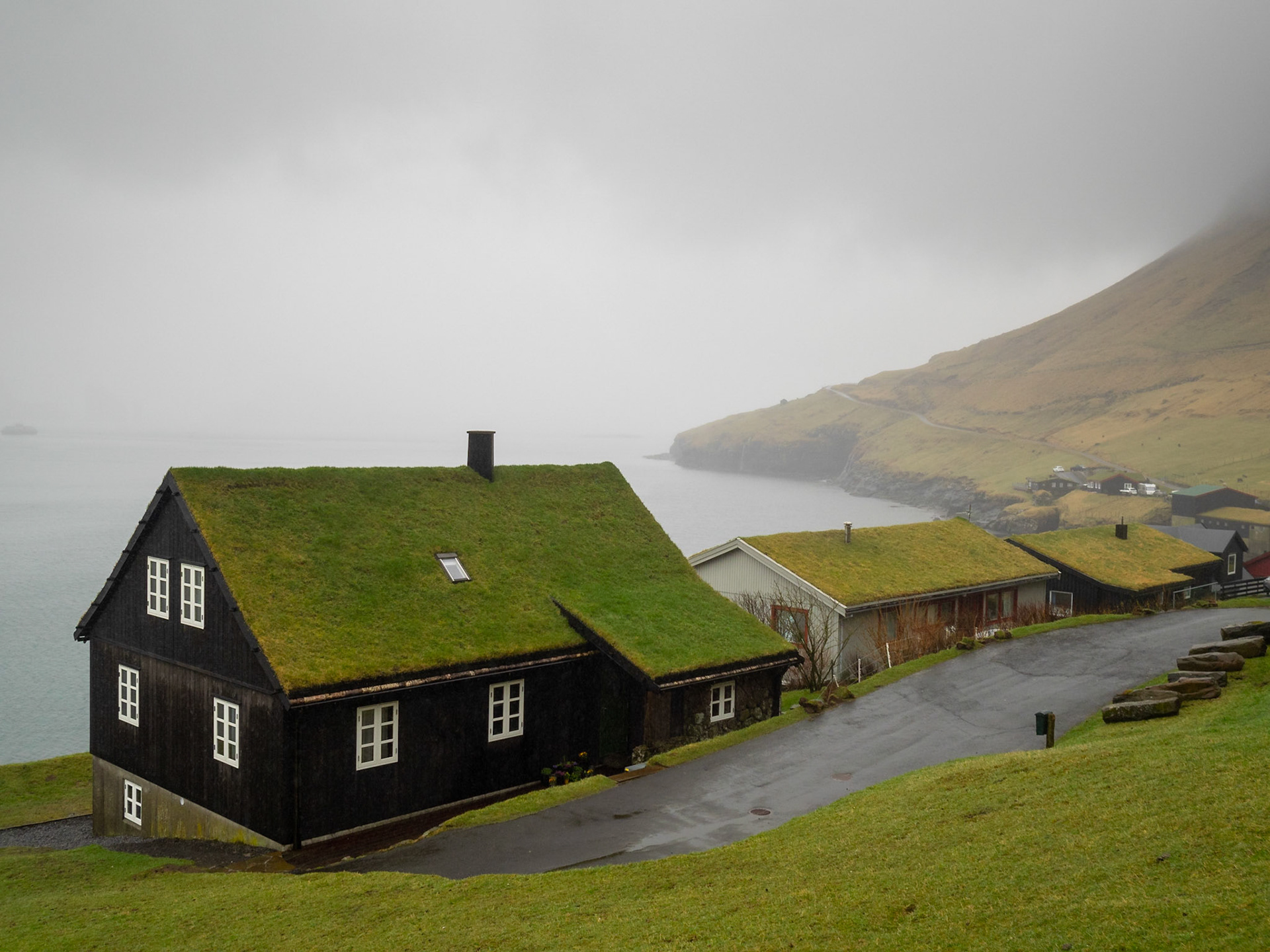
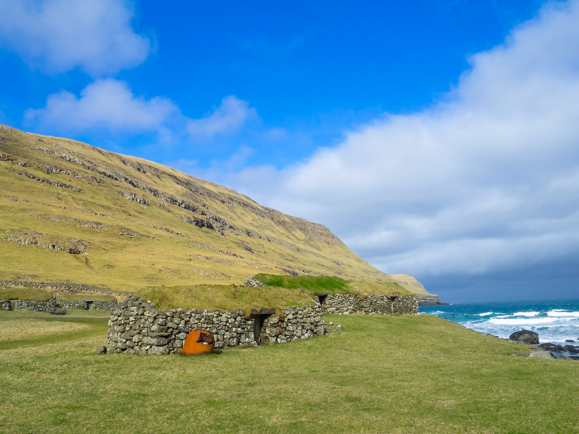
Sod roof houses by the sea in Bøur

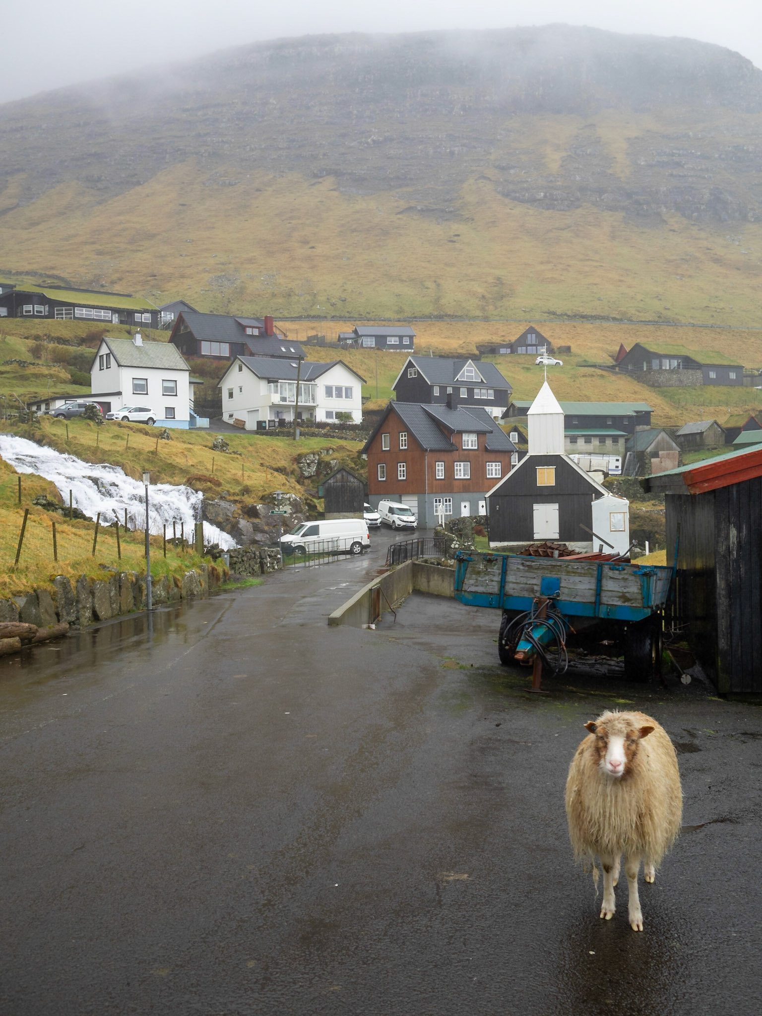
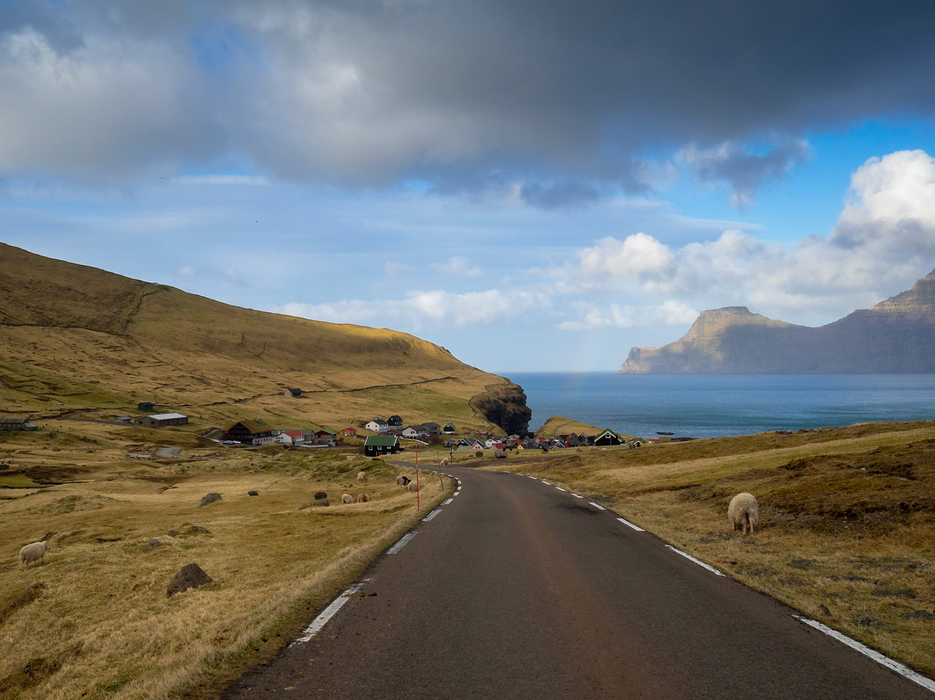
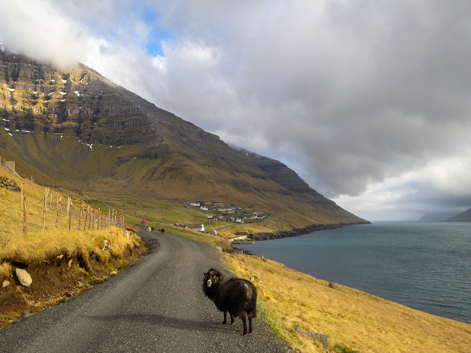
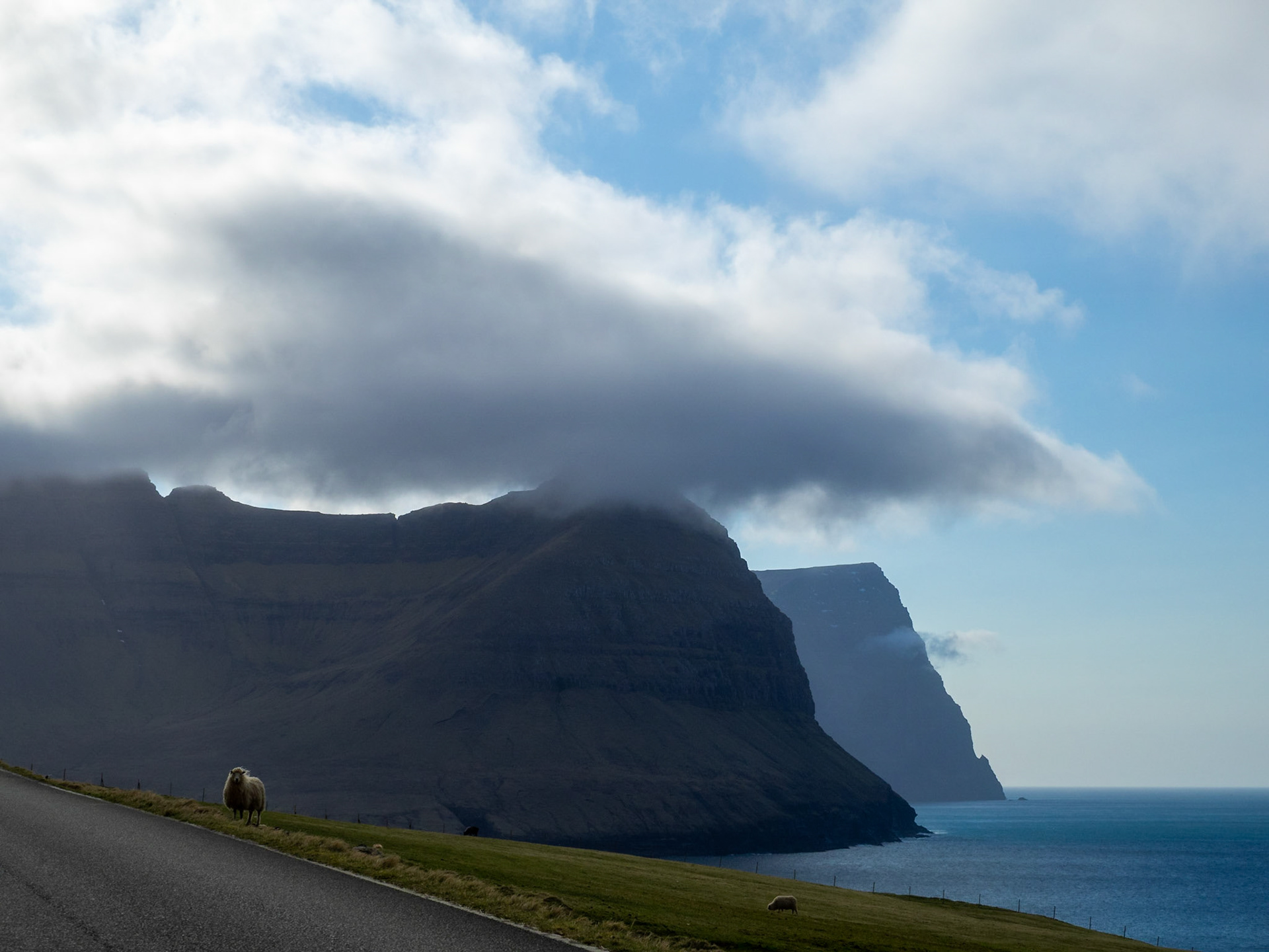
A sheep on the road in Bøur village

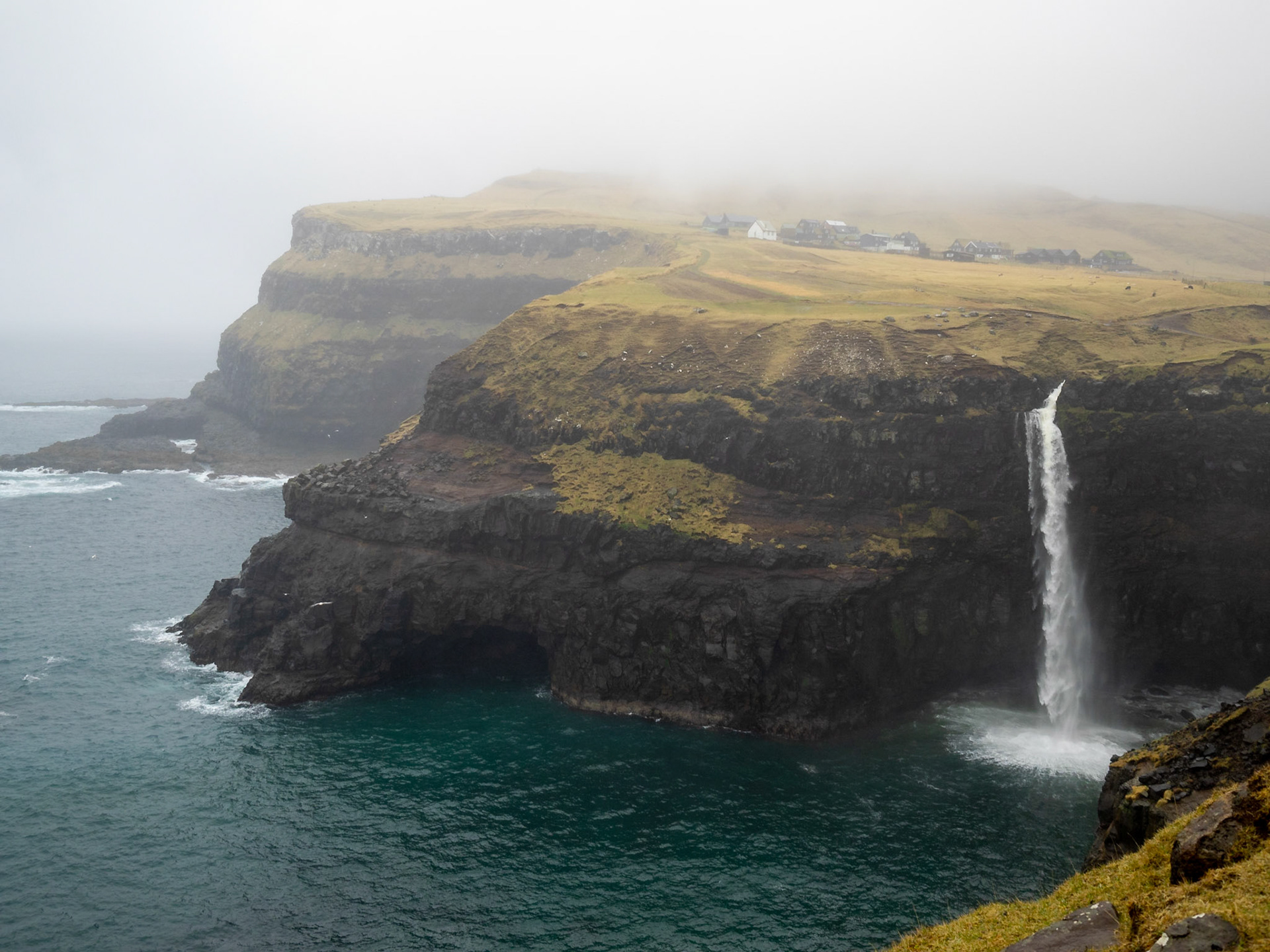
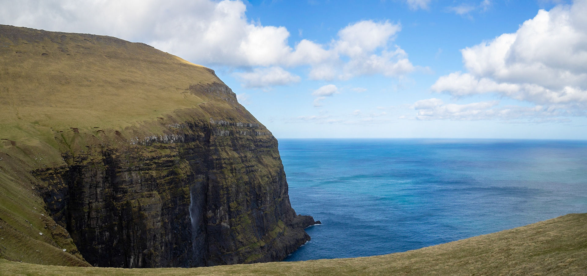
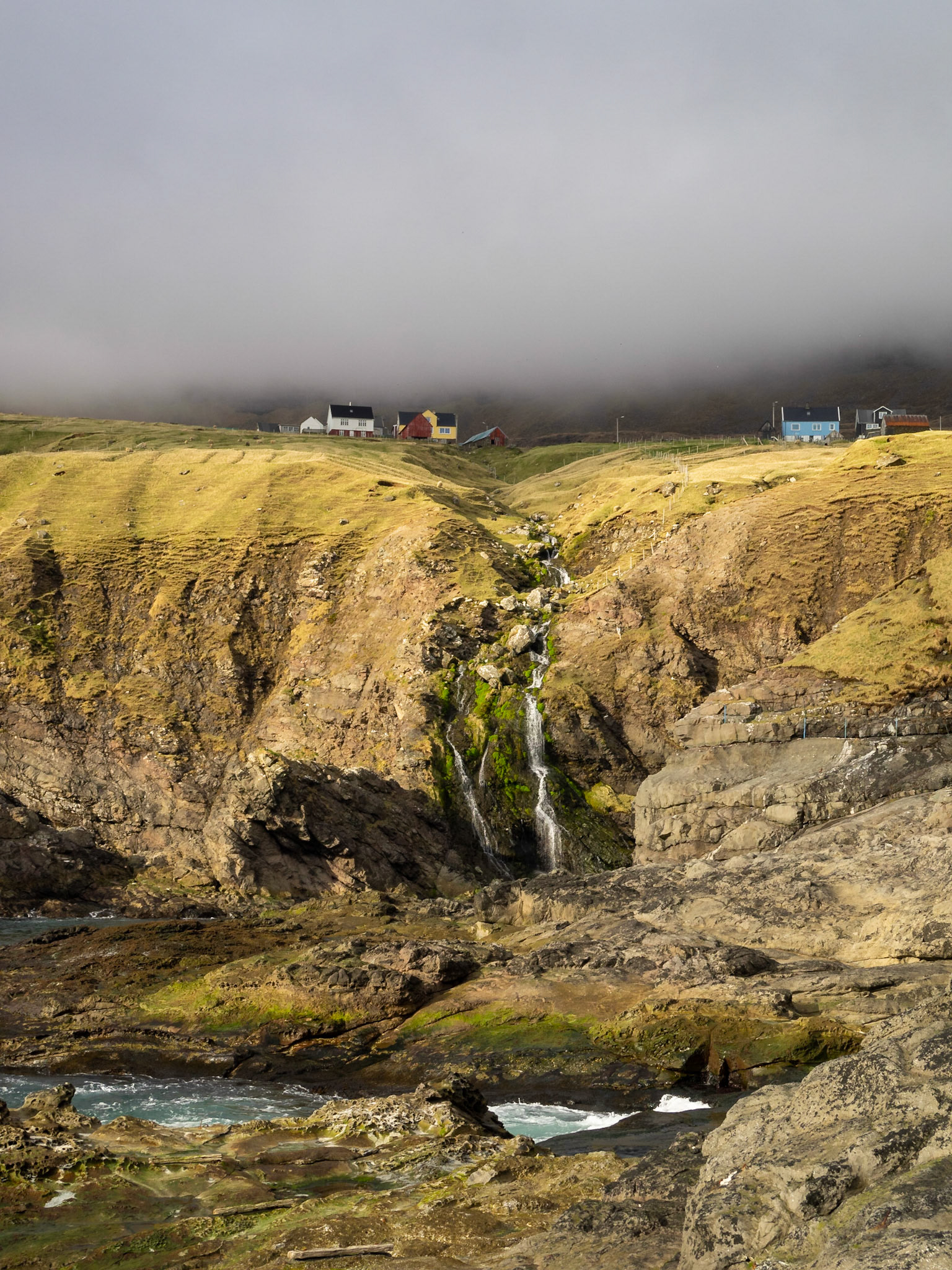
Múlafossur waterfall emptying from the cliff top to the ocean

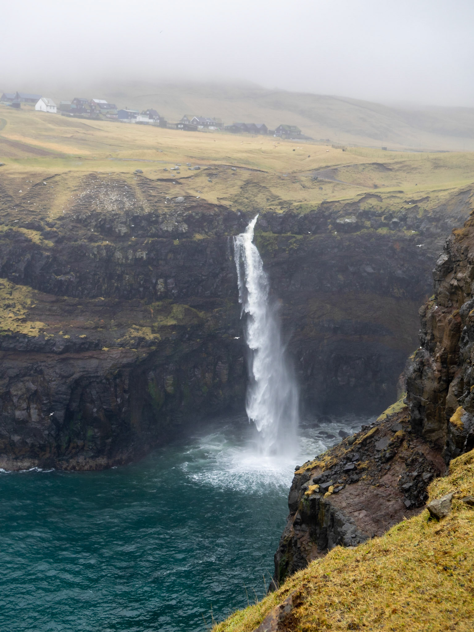
Múlafossur waterfall falling to the ocean

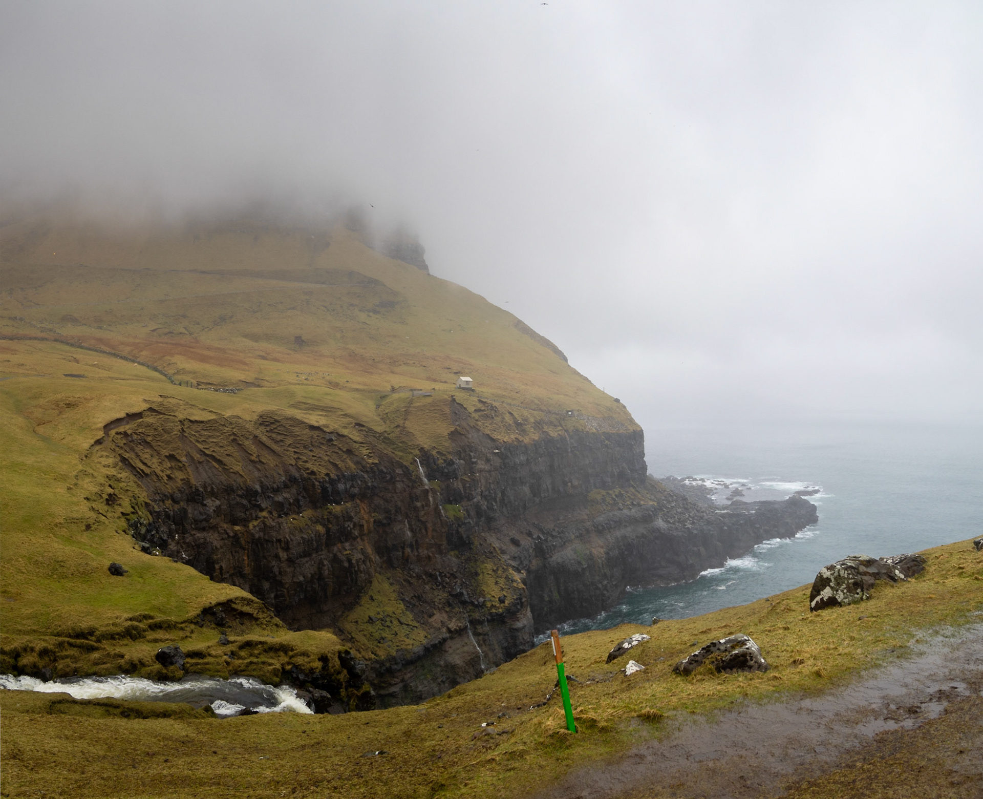
Múlafossur waterfall from the top

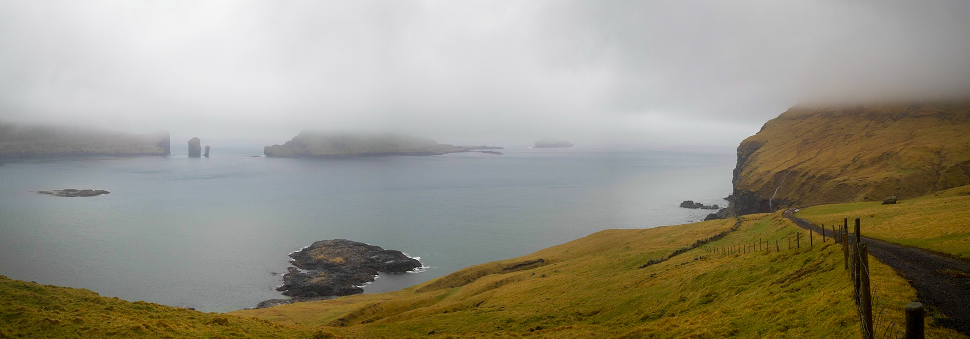
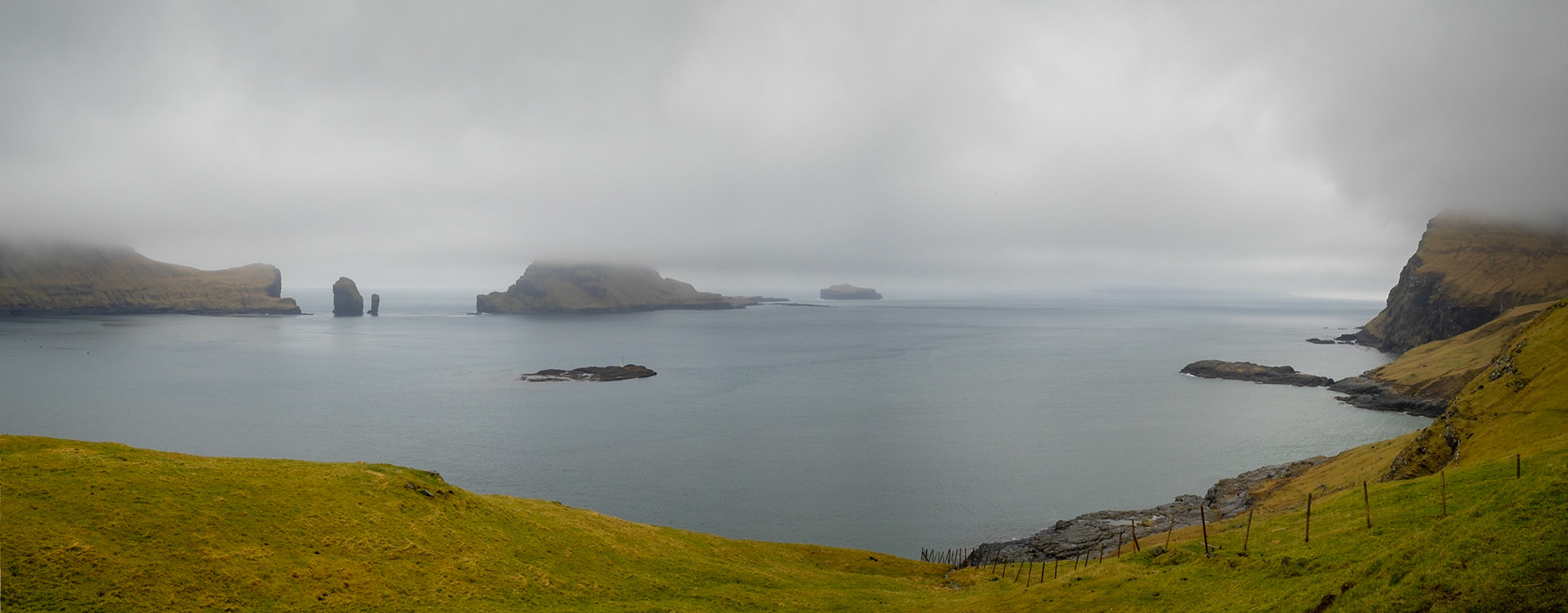
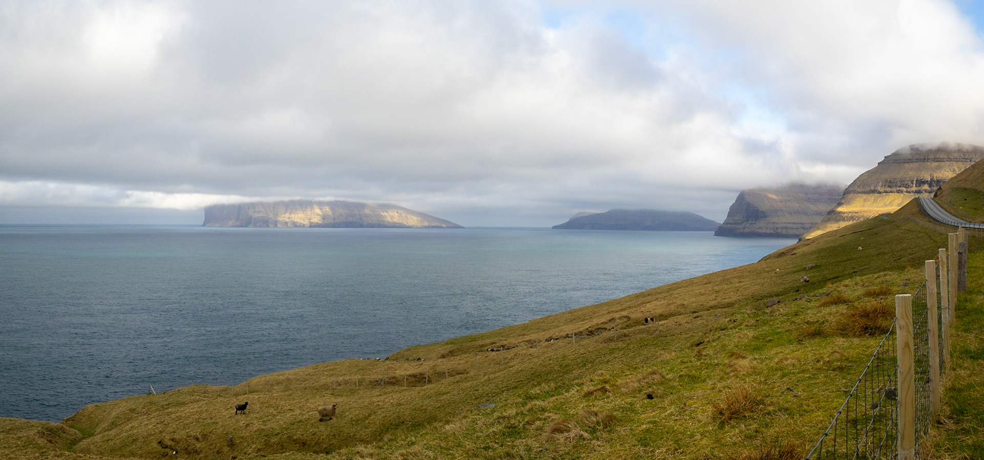
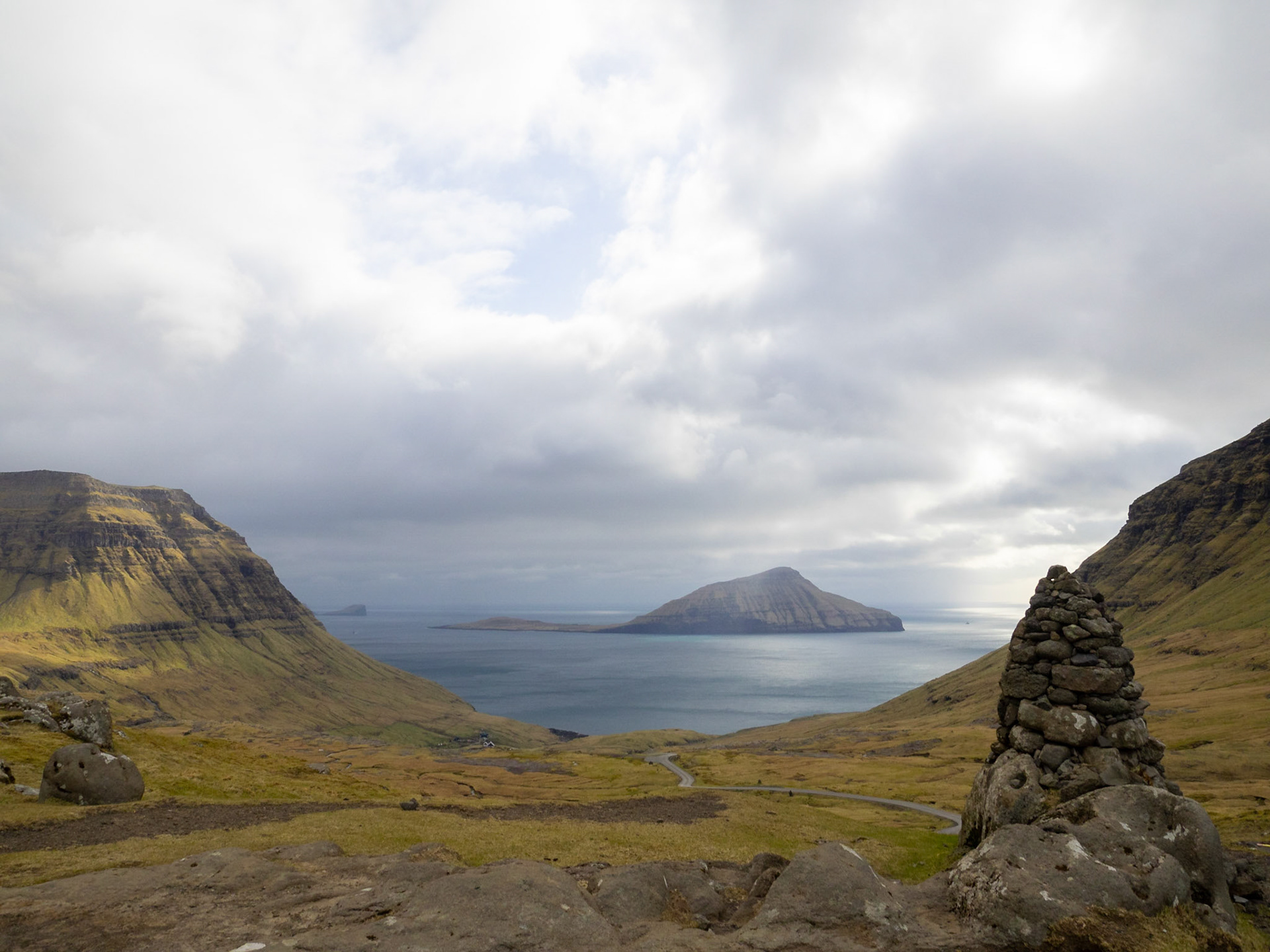
Gáshólmur islet and Tindhólmur under low clouds seen from Vágar island

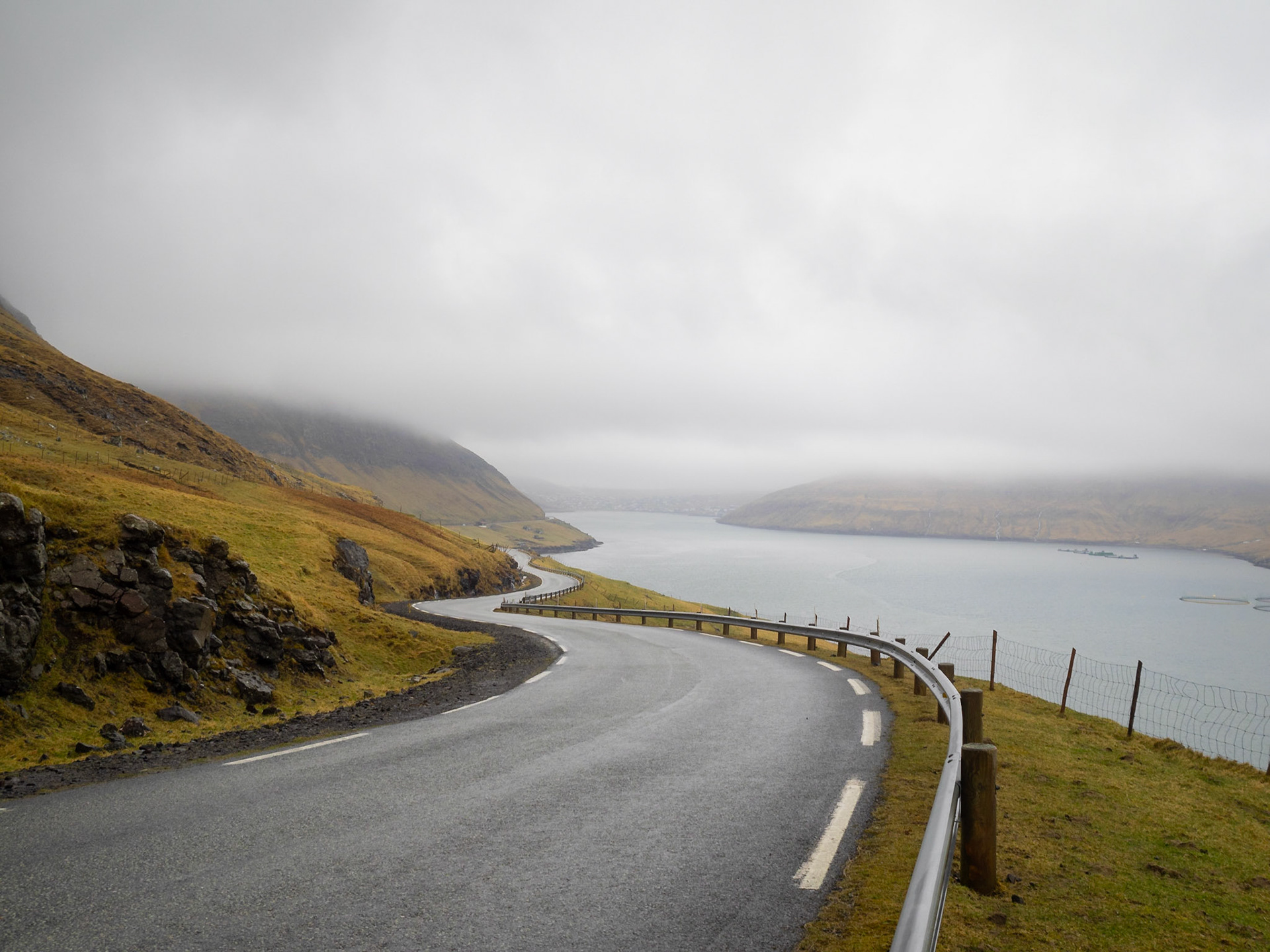
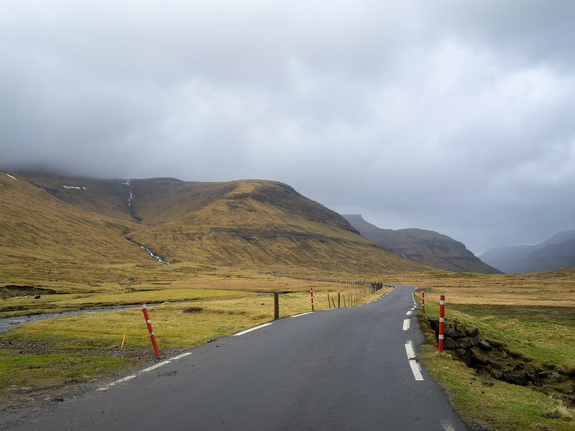
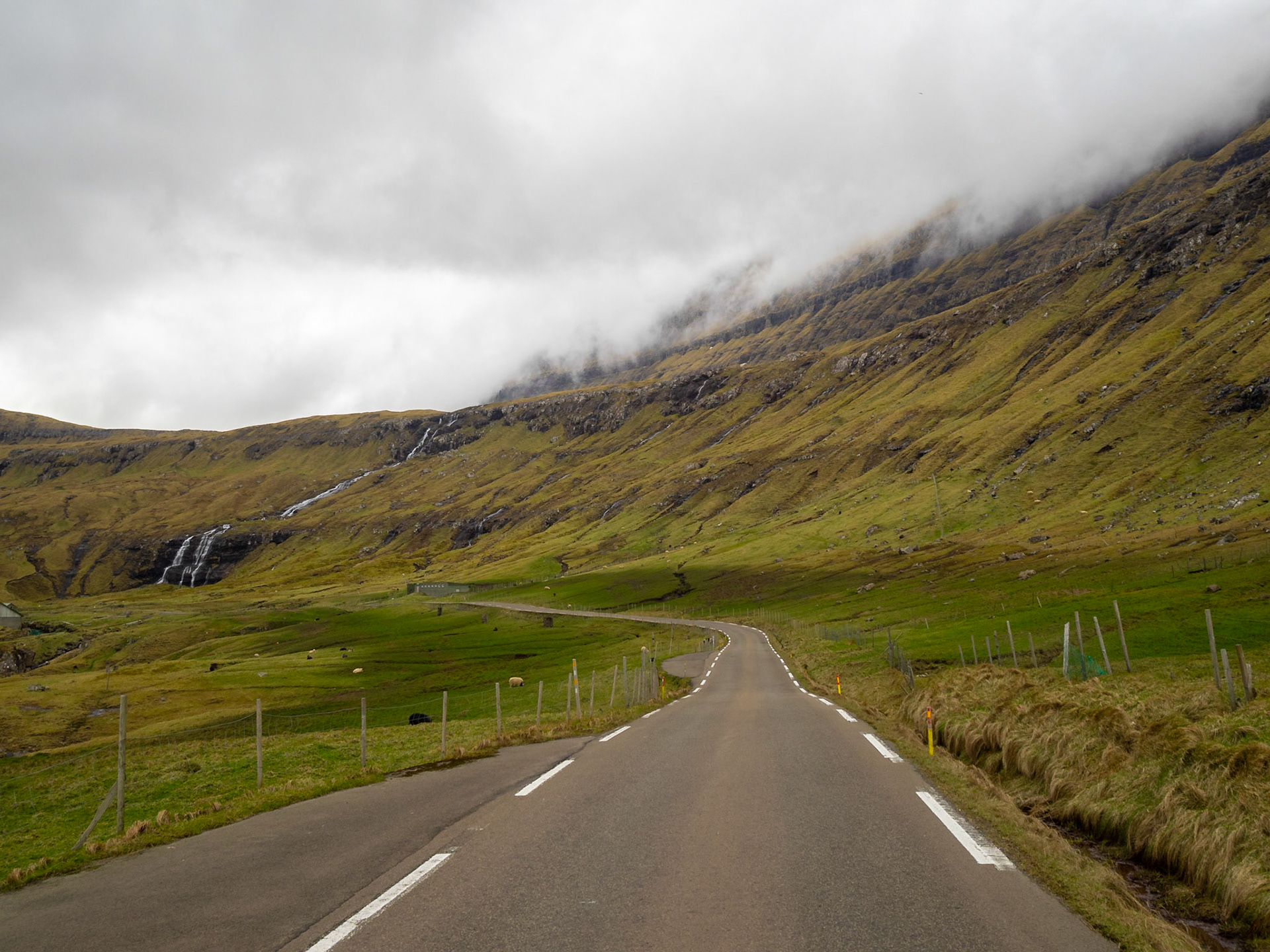
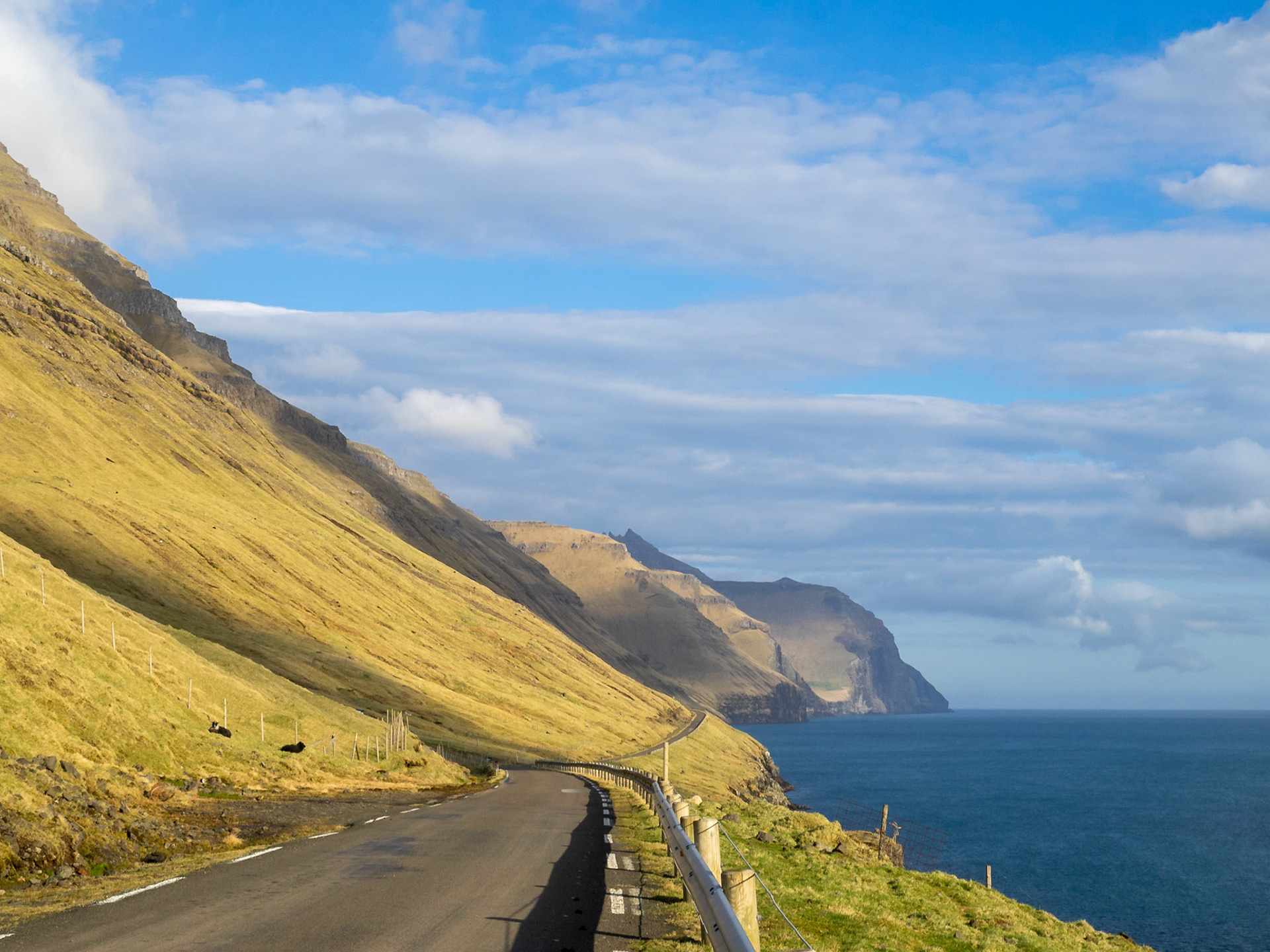
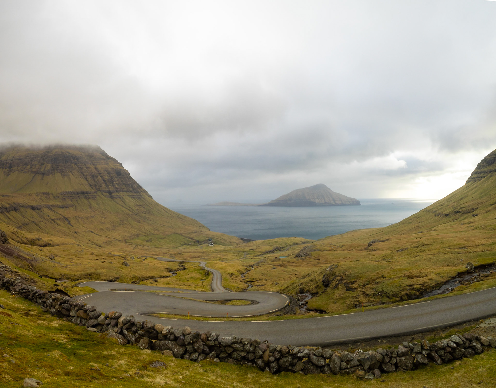
Winding road along Sørvágur fjord

Gáshólmur islet and Tindhólmur under low clouds seen from Vágar island

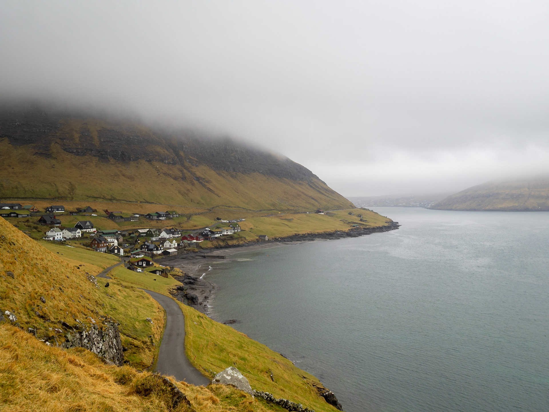
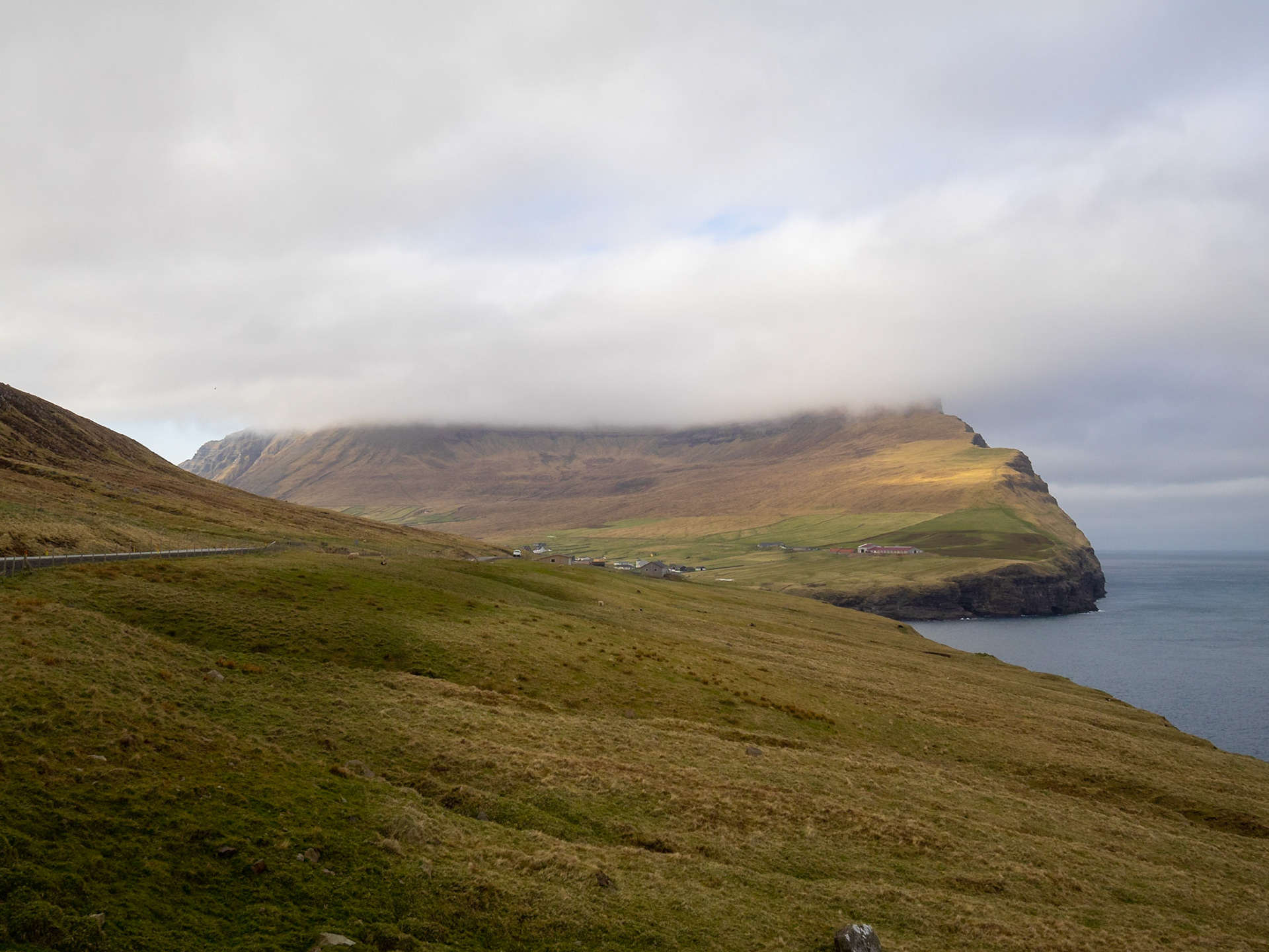
Bøur village bt yje sea and bellow the mountain

Sørvágur black church with slate roof

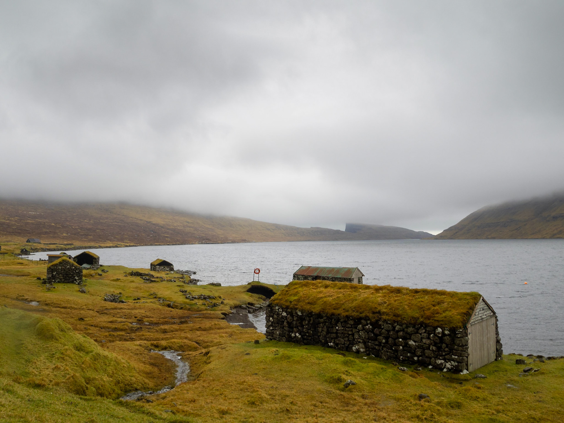
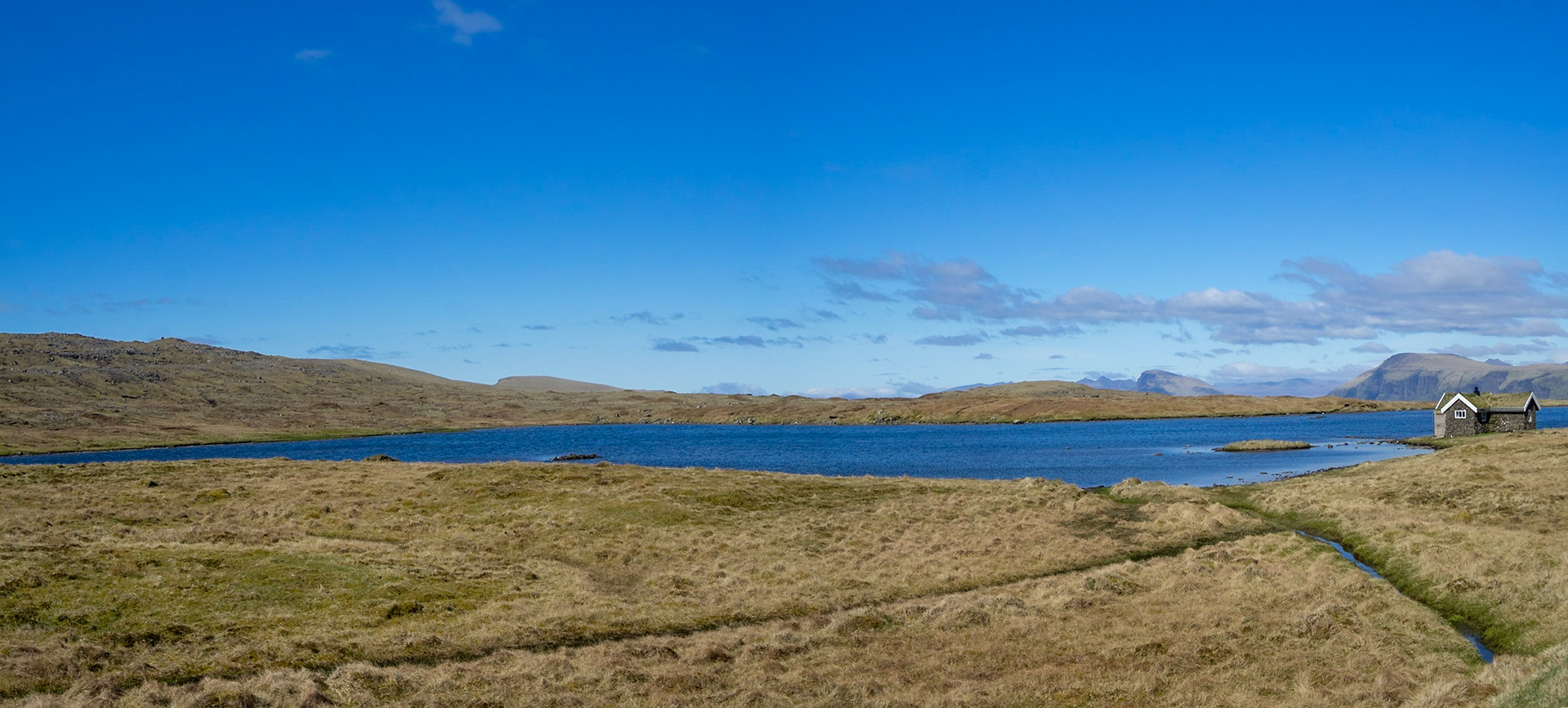
Turf roof boathouses by Sørvágsvatn lake

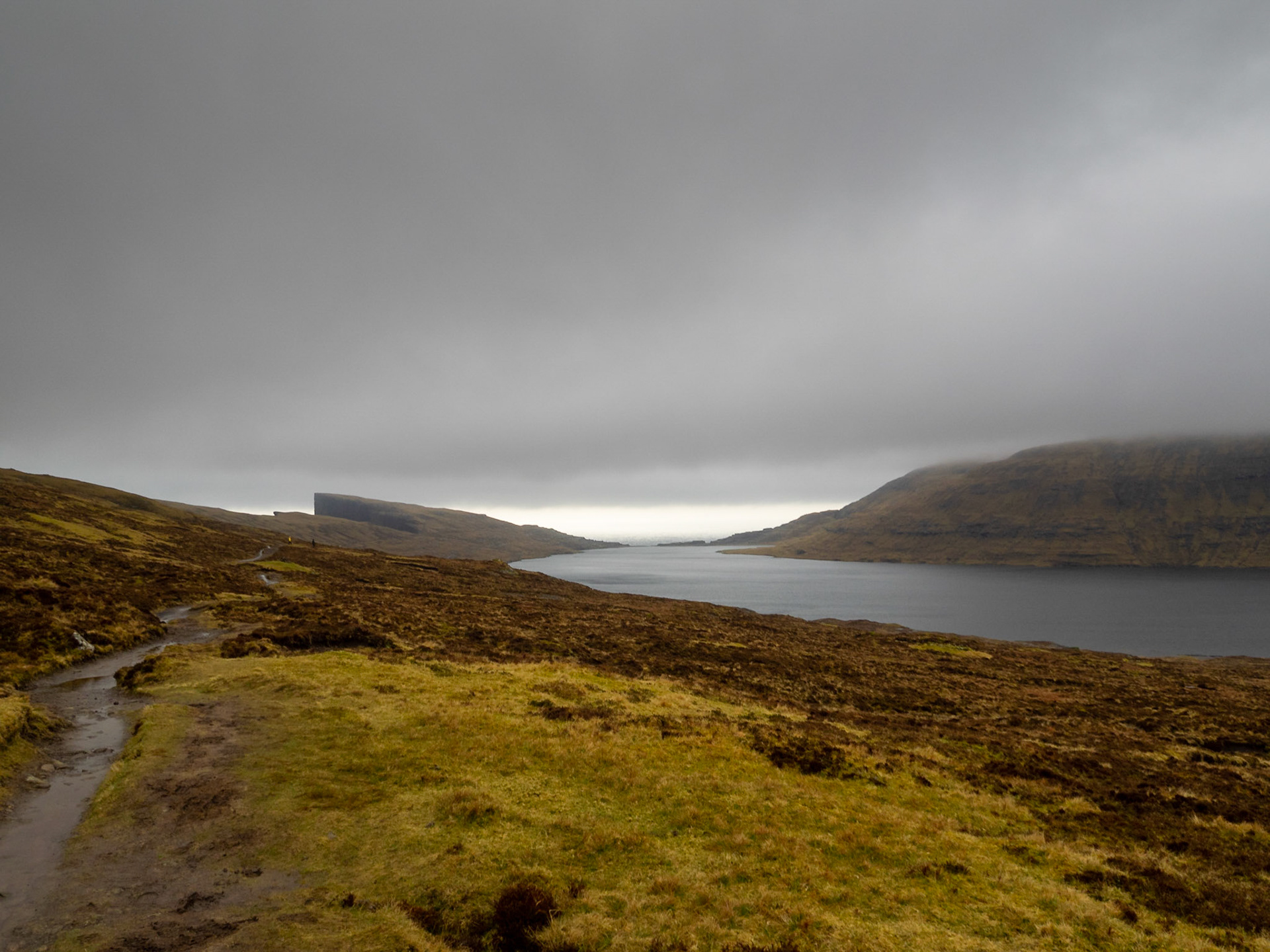
Hikking path along Sørvágsvatn lake to Trælanípa

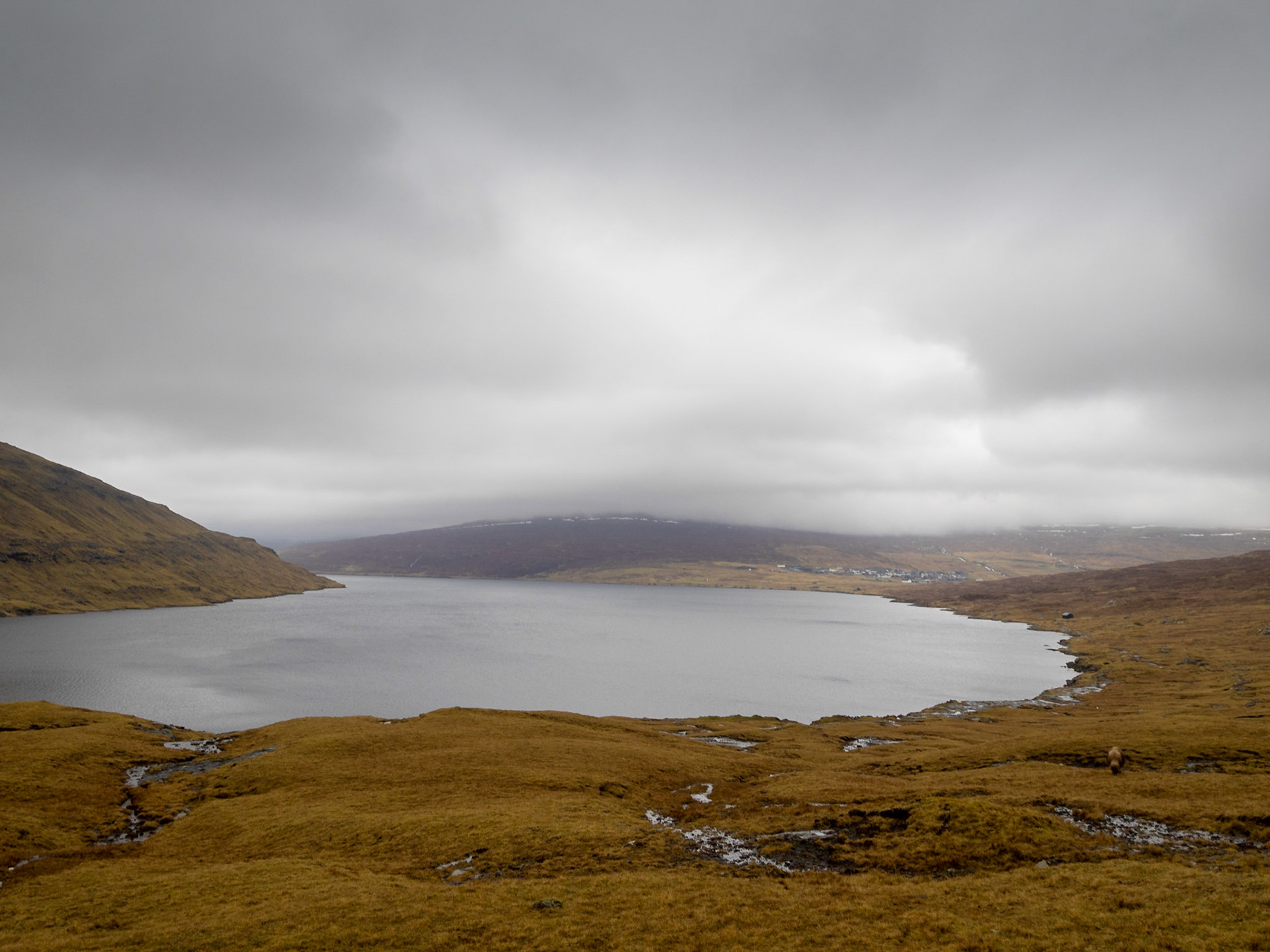
Panorama view of Sørvágsvatn lake

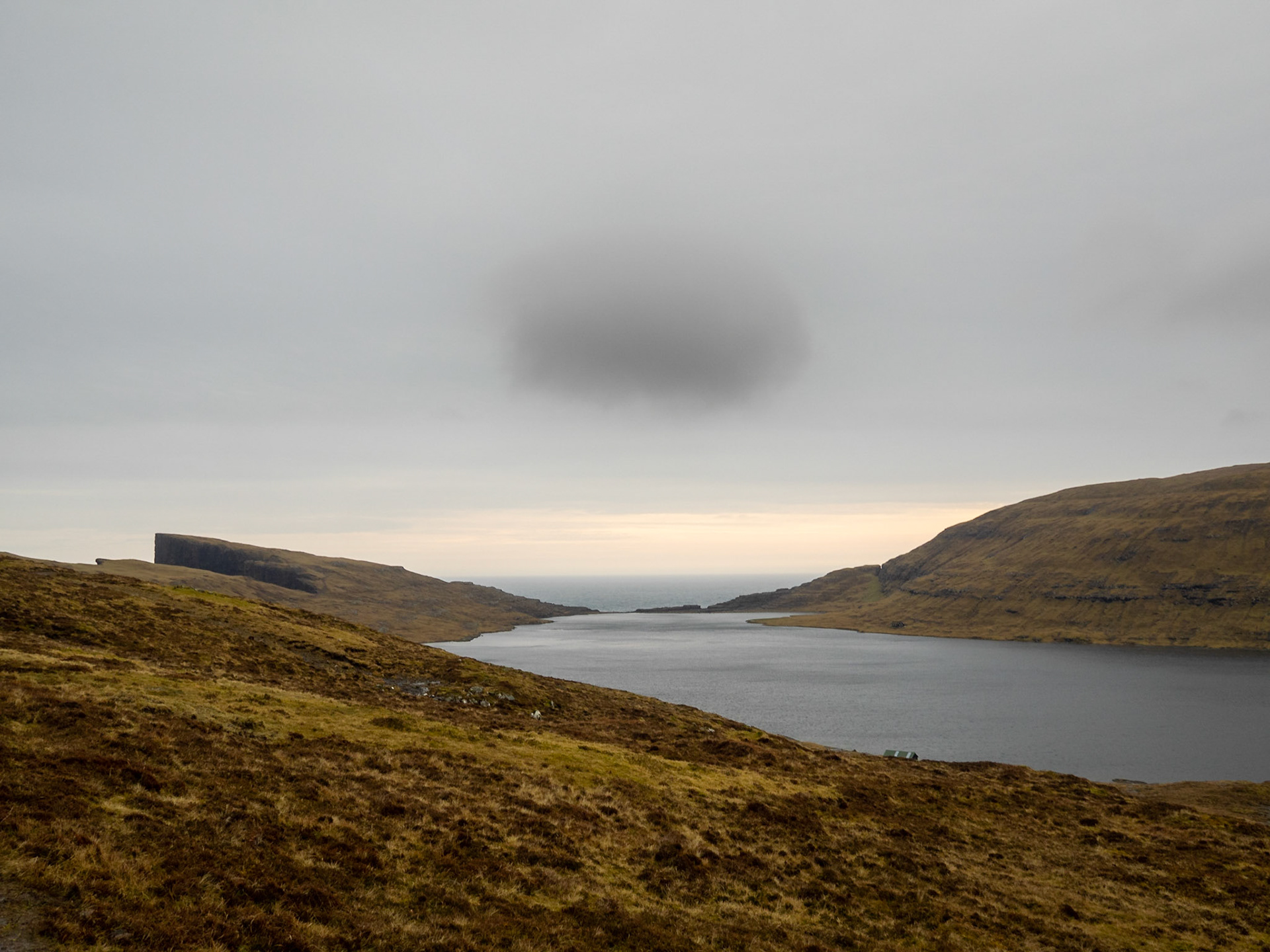
Leitisvatn lake

The cliffs by Leitisvatn lake

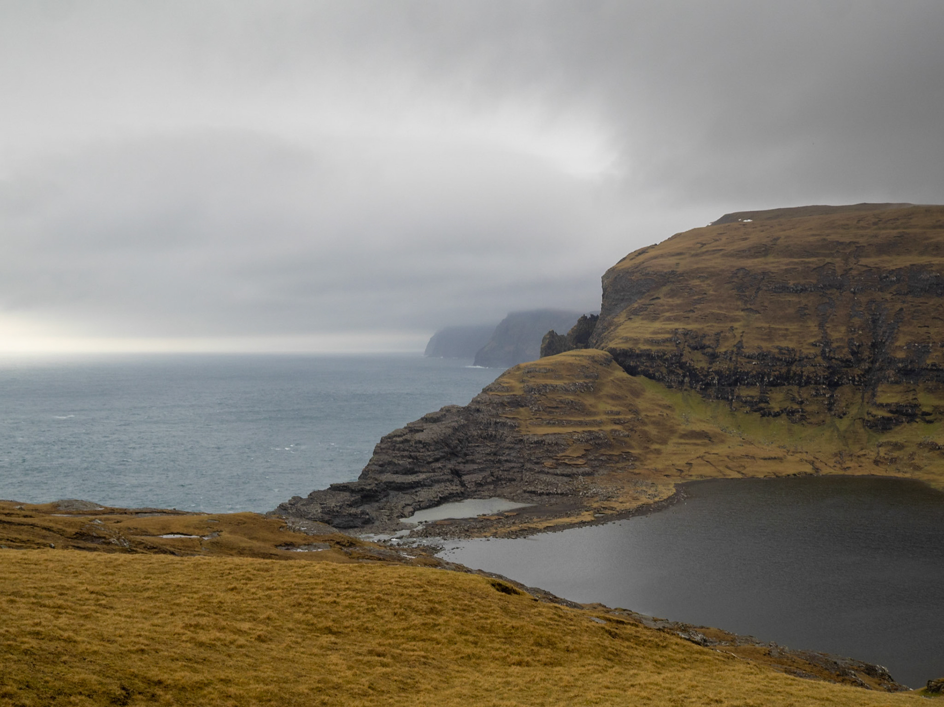
Leitisvatn lake end to the ocean

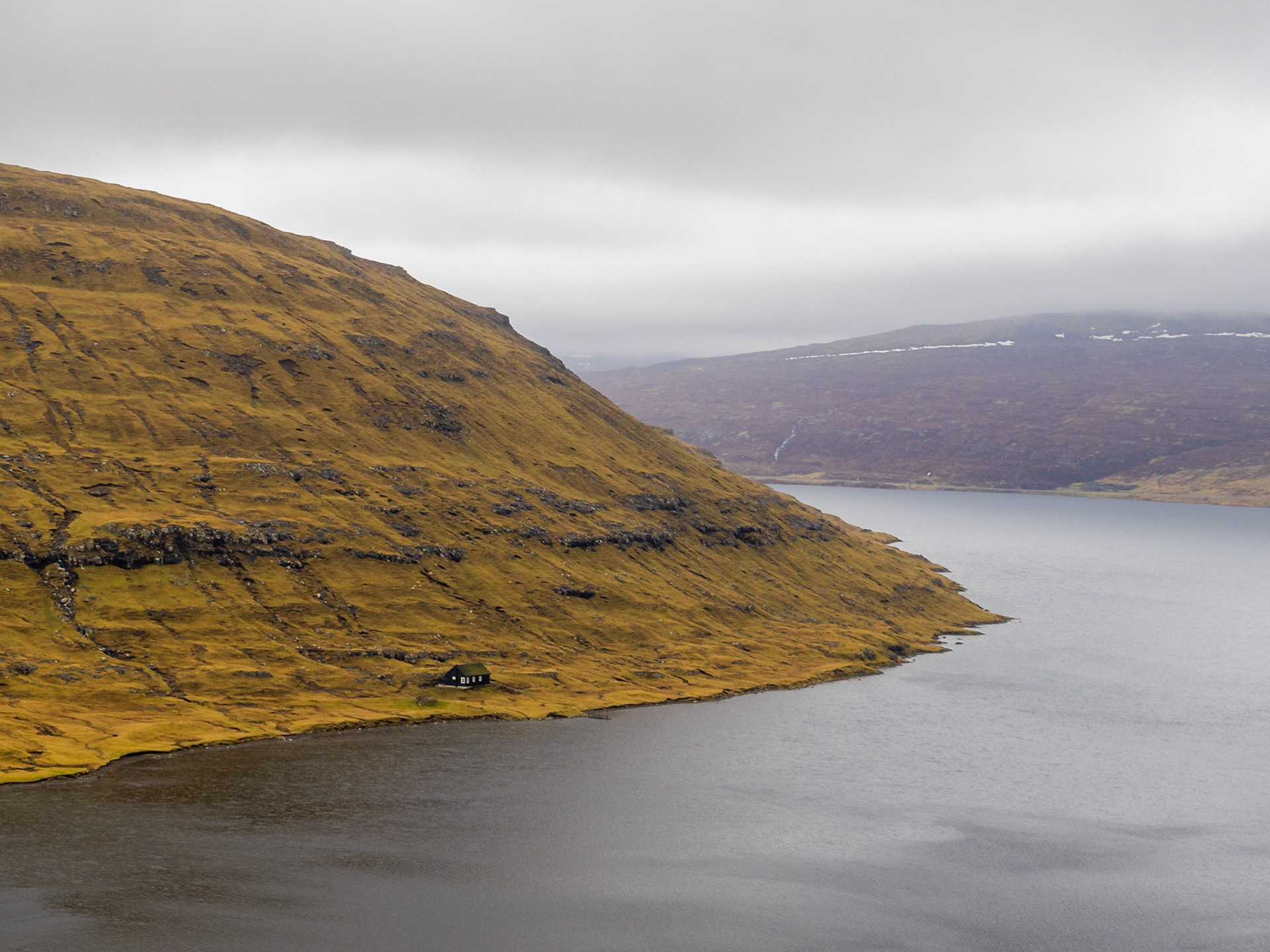
Turf roof house below the Borgarheyggjur mountain by lake Leitisvatn

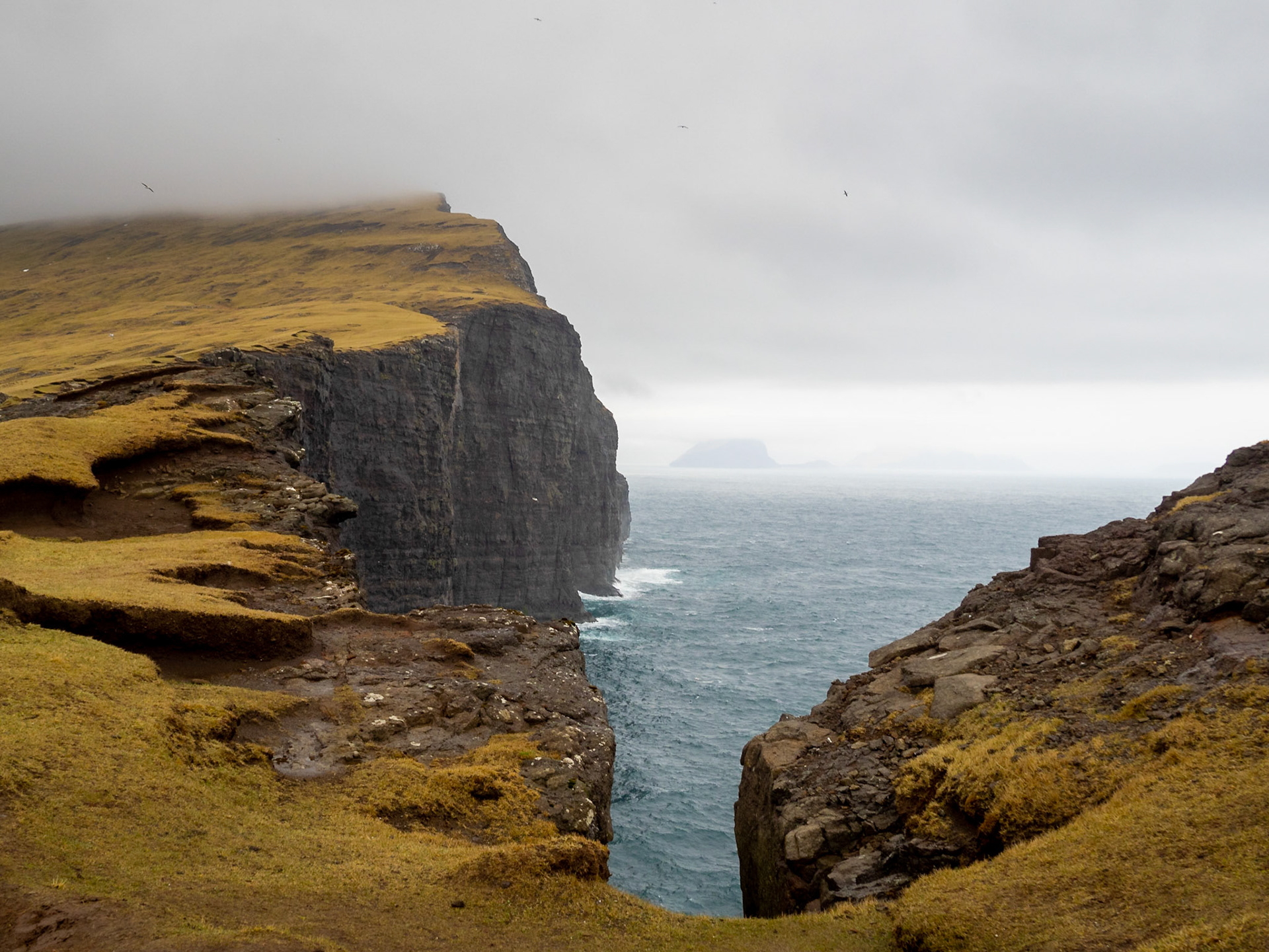
Leitisvatn lake over the ocean cliffs seen from Trælanípa

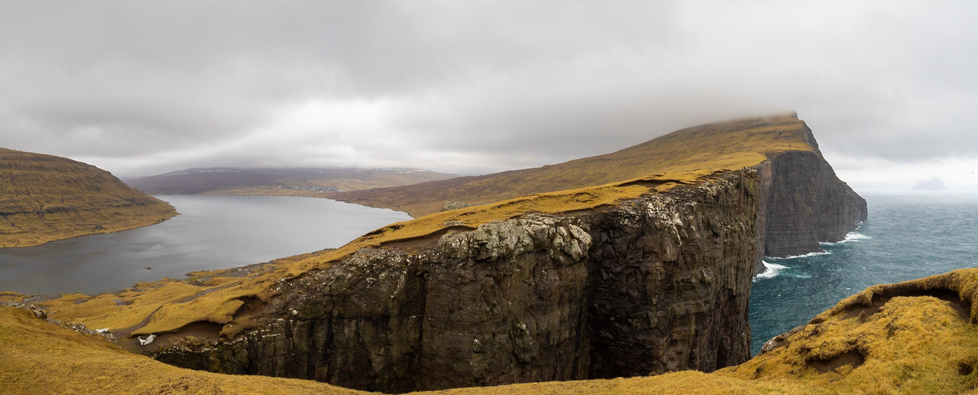
Sørvágsvatn lake over the ocean cliffs seen from Trælanípa

Sørvágsvatn lake over seen from Trælanípa

Bøsdalafossur waterfall of Leitisvatn lake to the ocean

Leitisvatn lake landscape

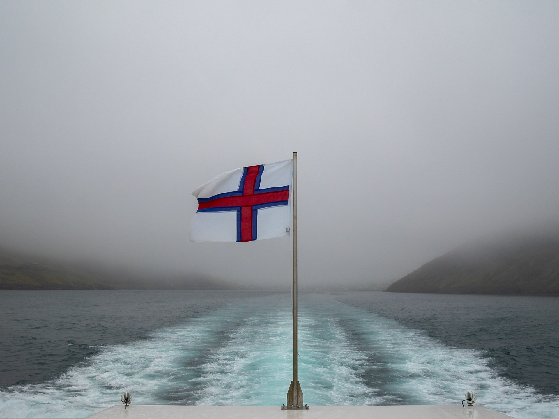
Faroe Islands flag waving in a boat

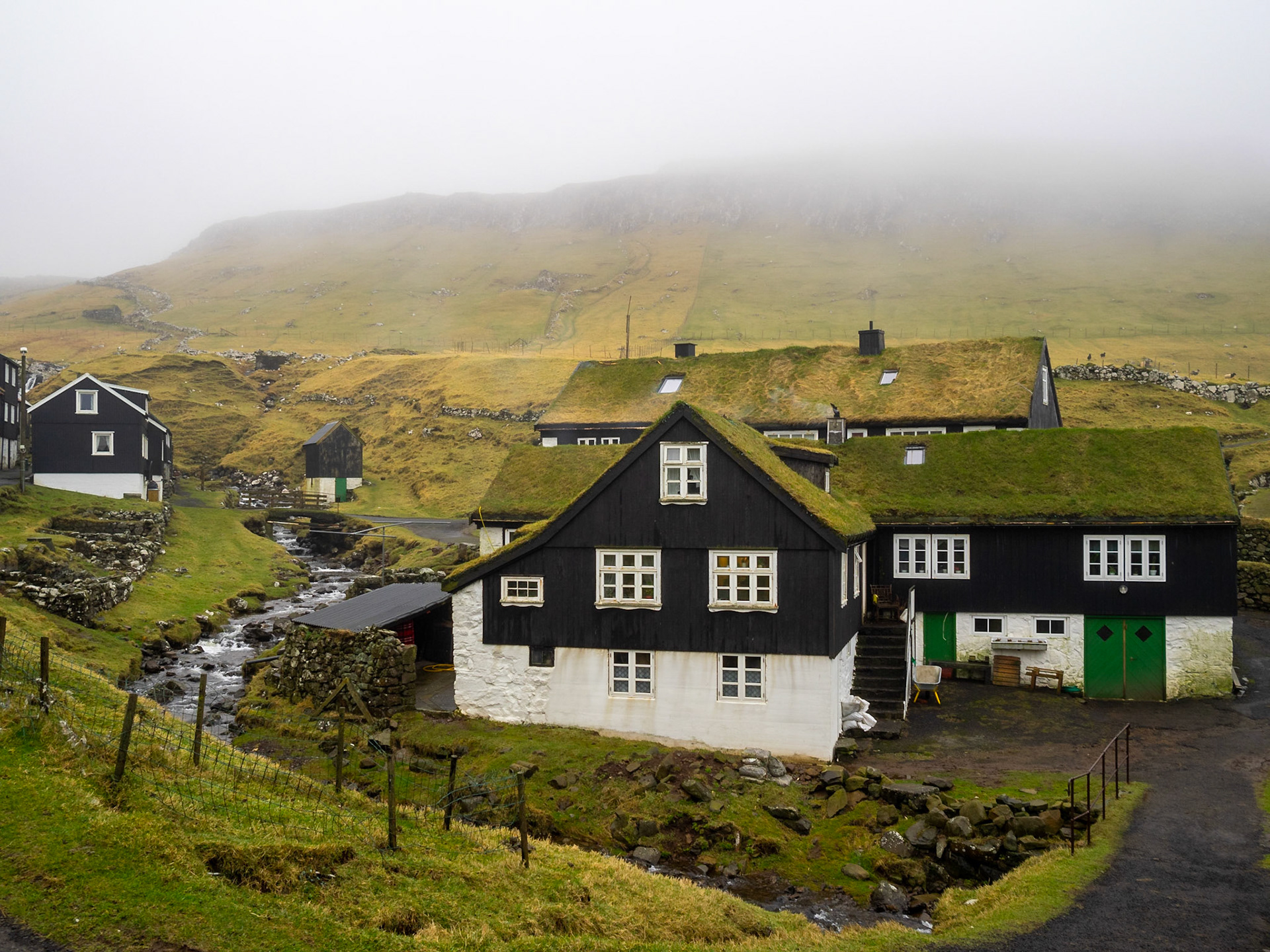
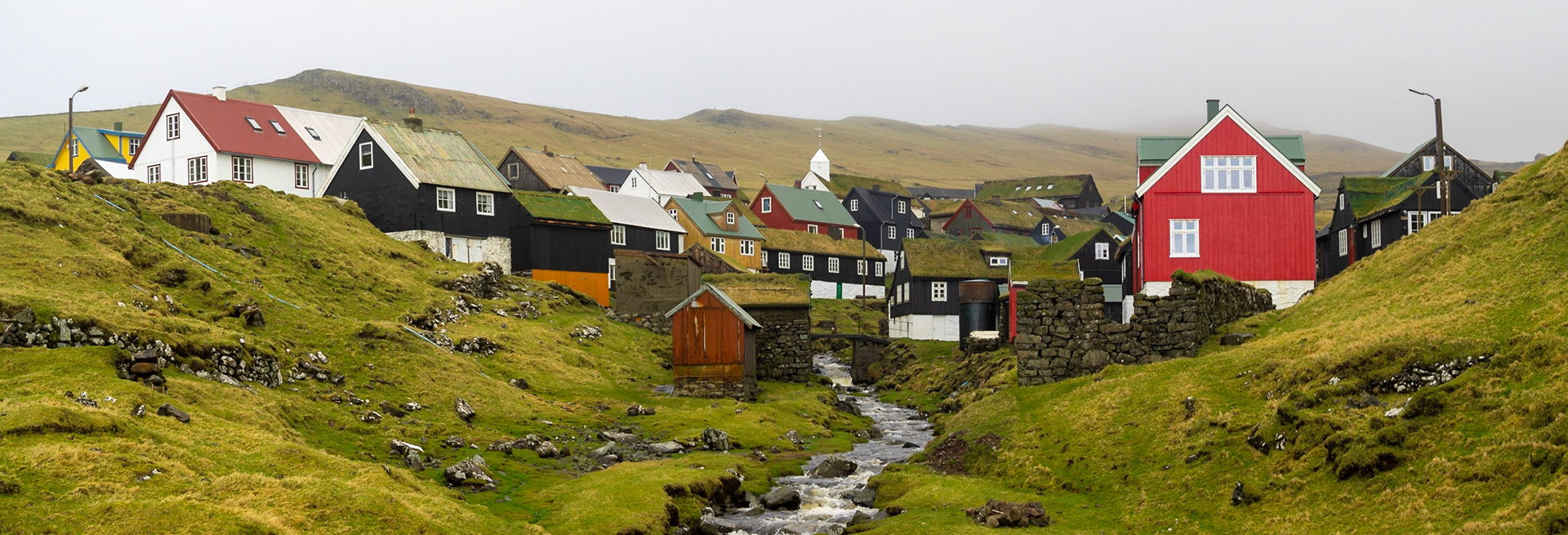
Mykines turf houses by the brook

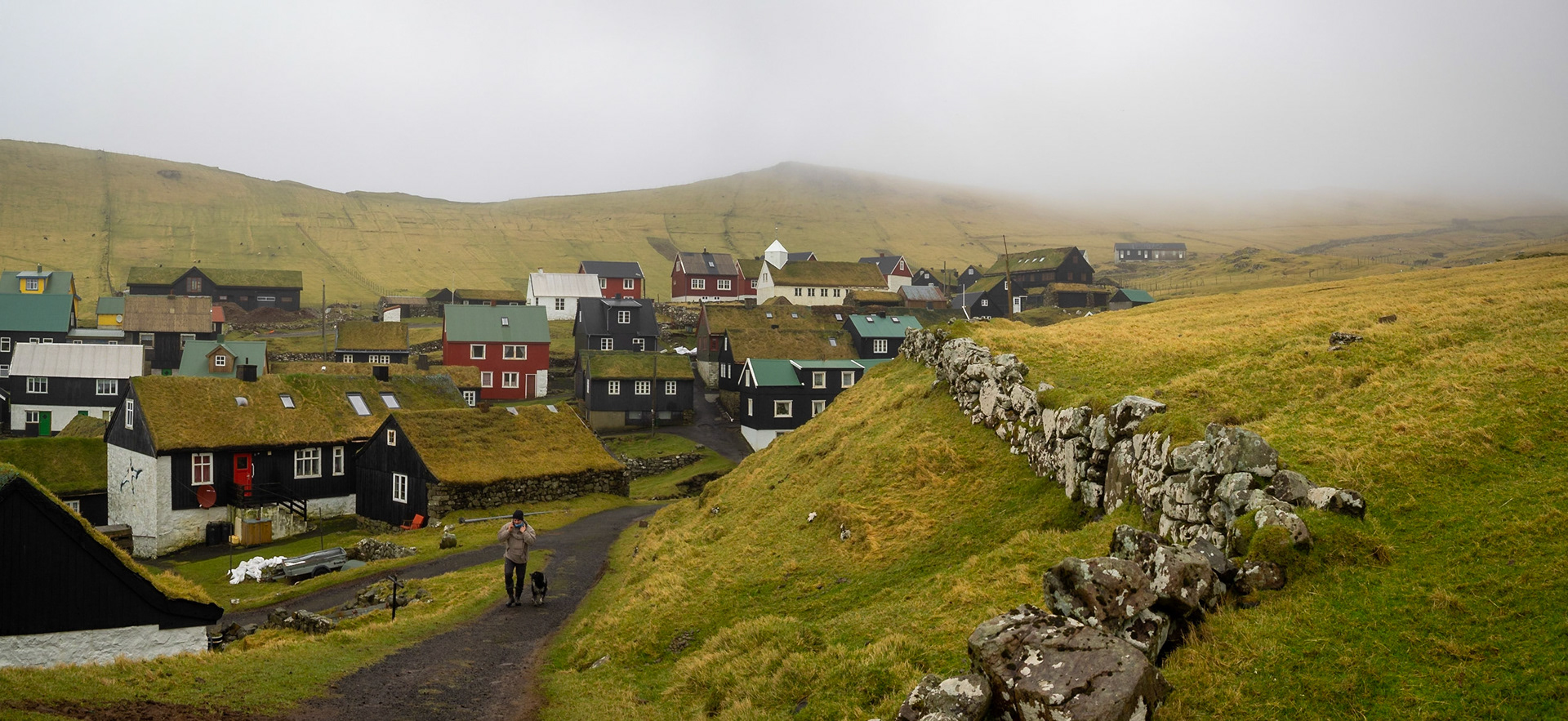
Mykines hamlet panorama

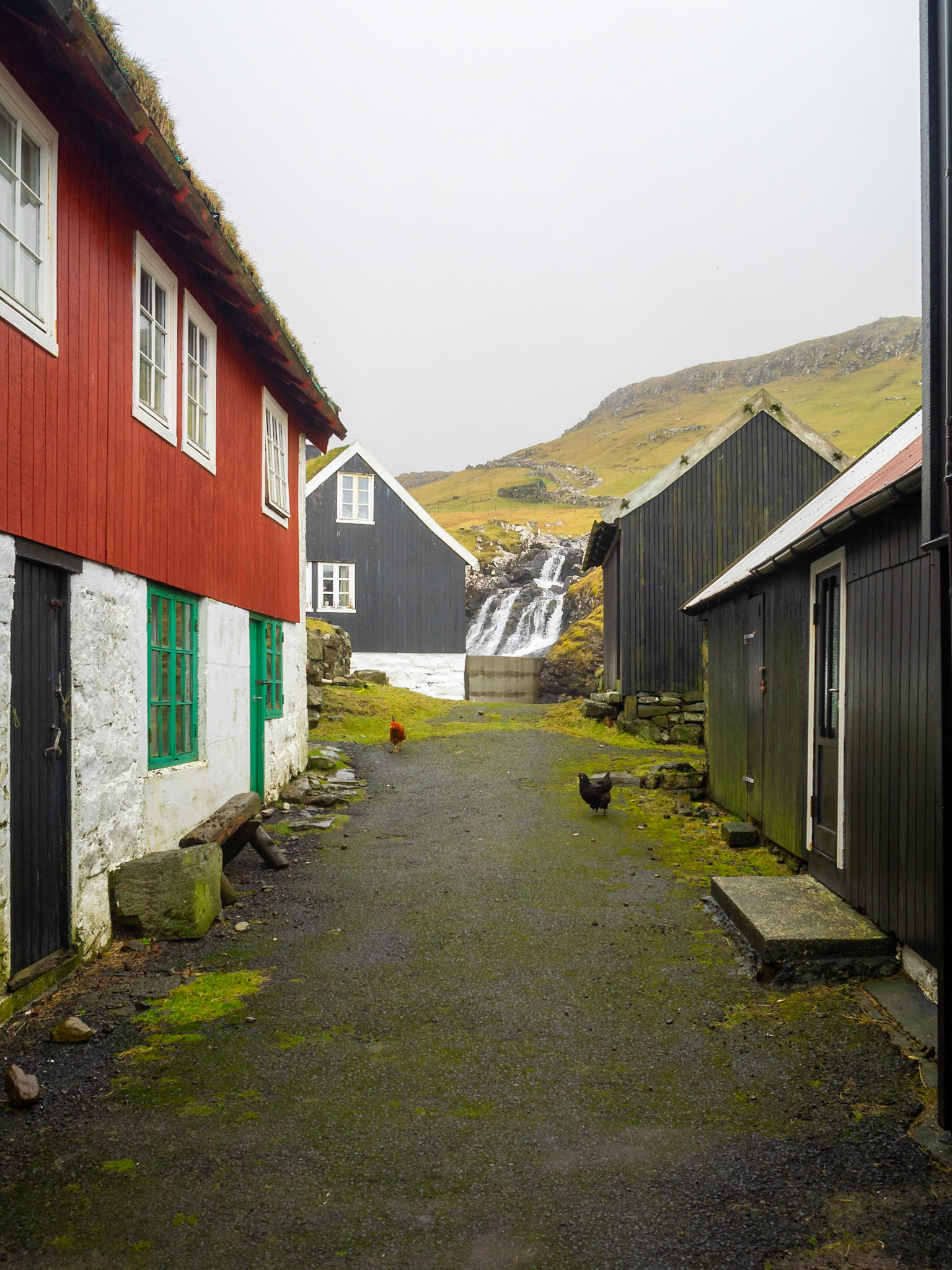
Mykines street with a waterfall at th end

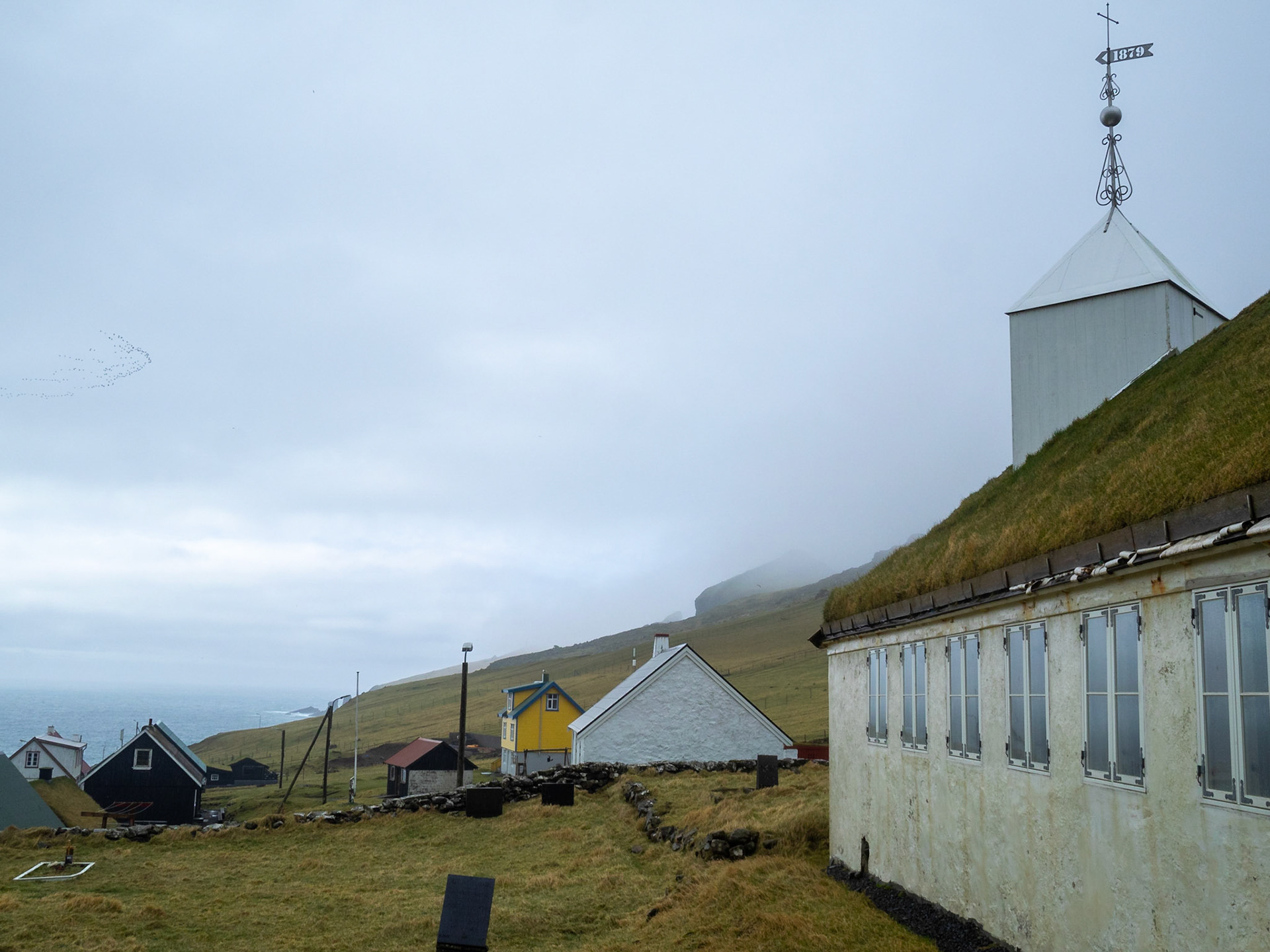
Mykines turf roofed church

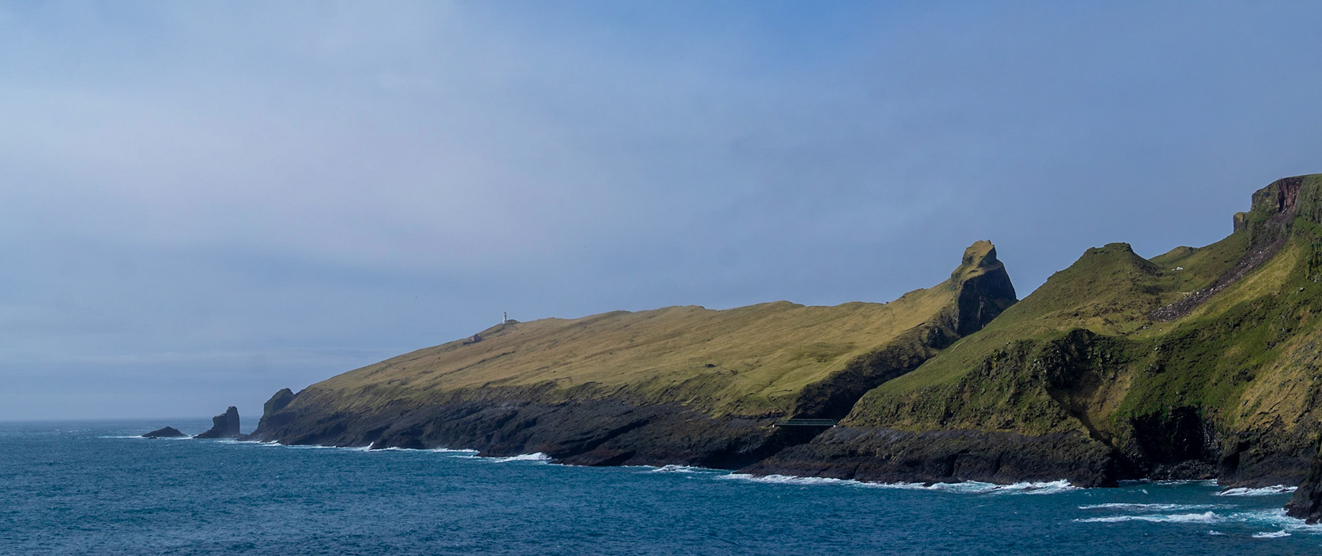
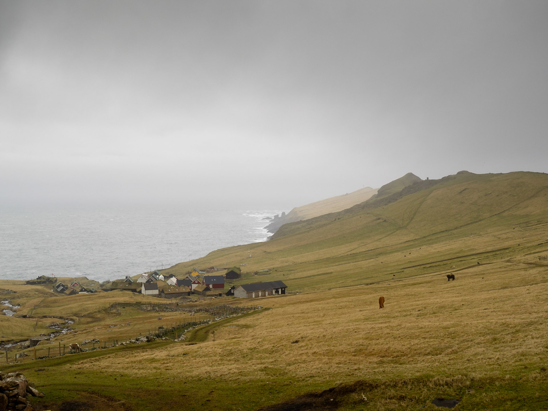
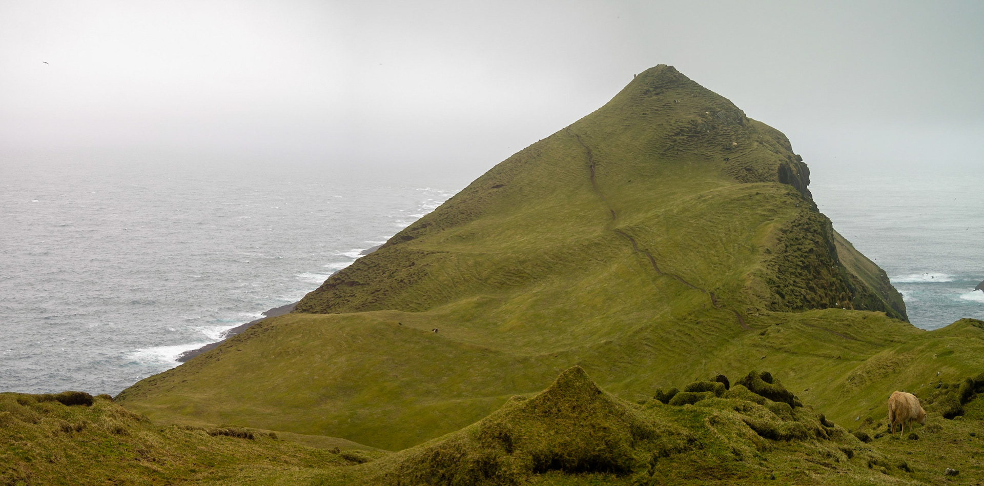
Mykines island panorama with the lighthouse promontory and hamlet houses

Mykineshólmur panorama

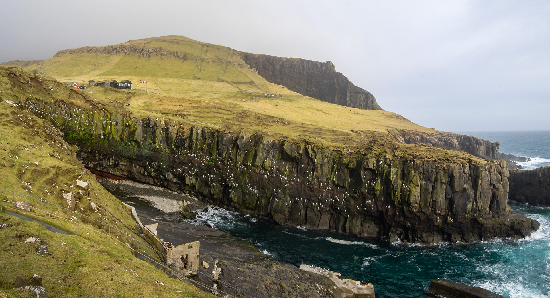
Mykines port by the cliffs

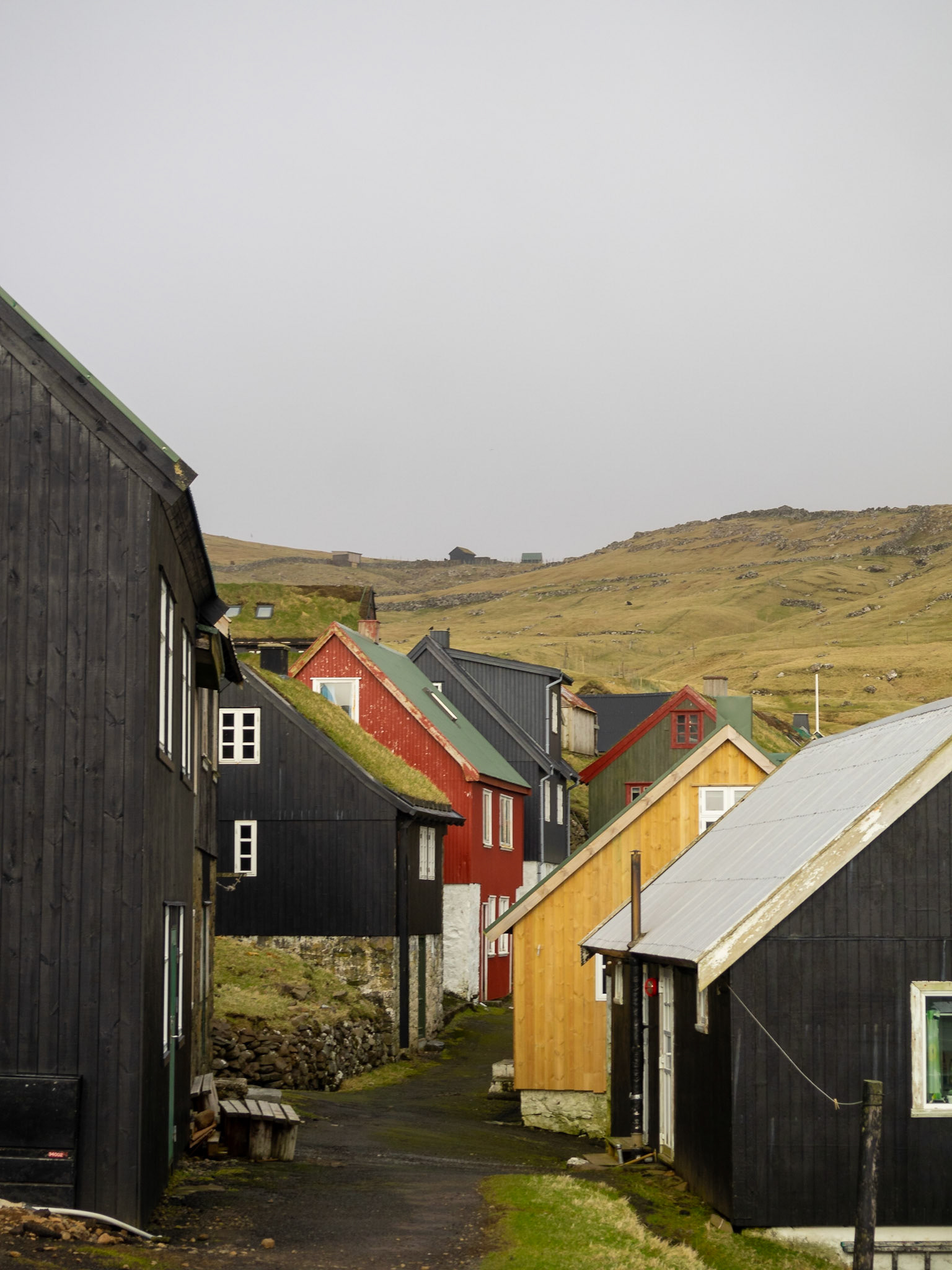
Mykines village houses

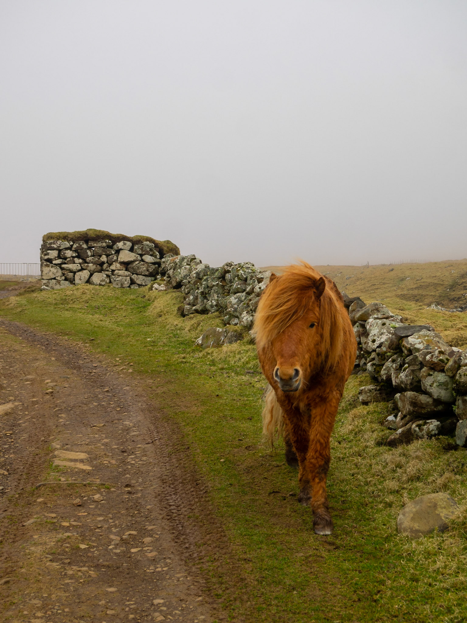
A horse in Mykines island fields

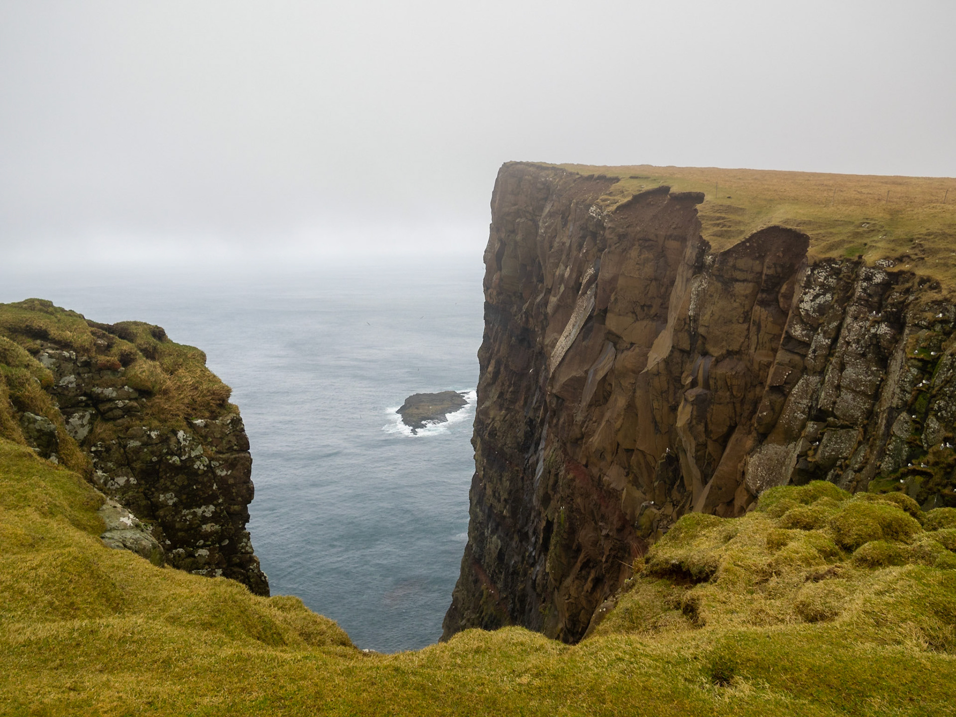
View out to the Atlantic from the top of Mykines cliffs

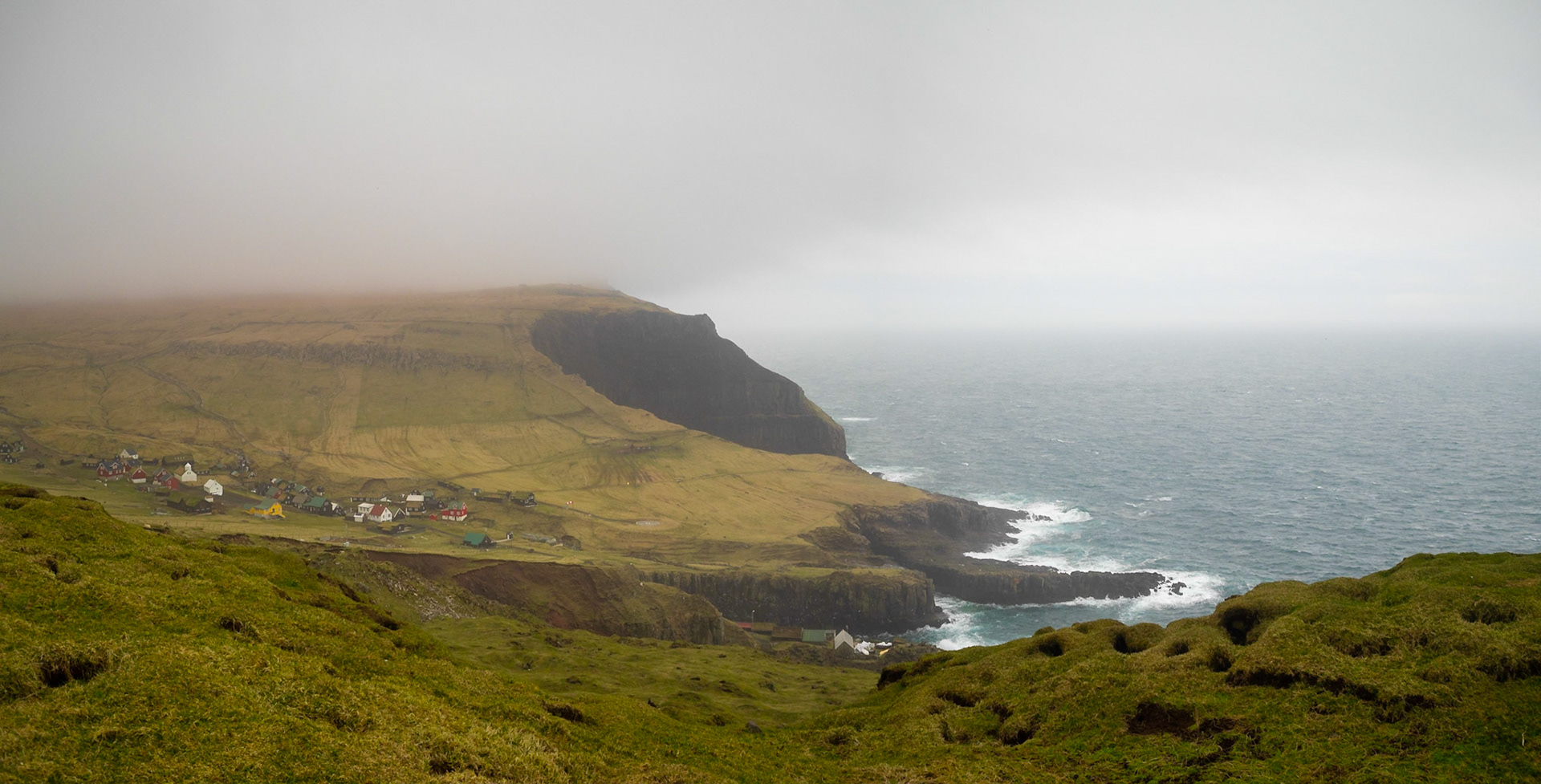
Mykines island landscape with the hamlet by the sea

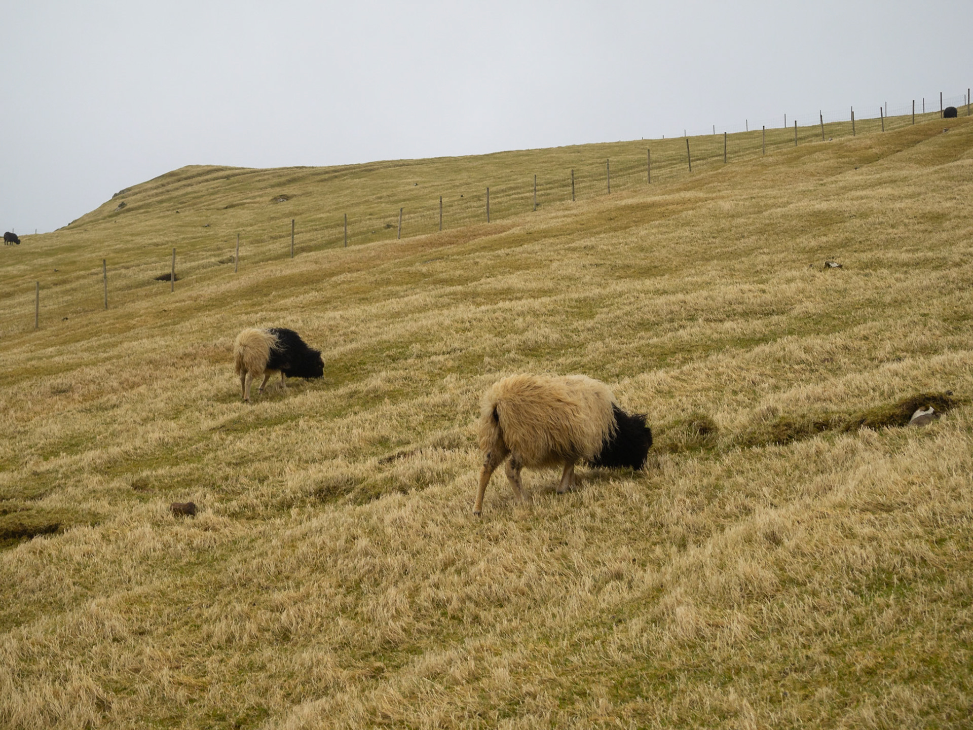
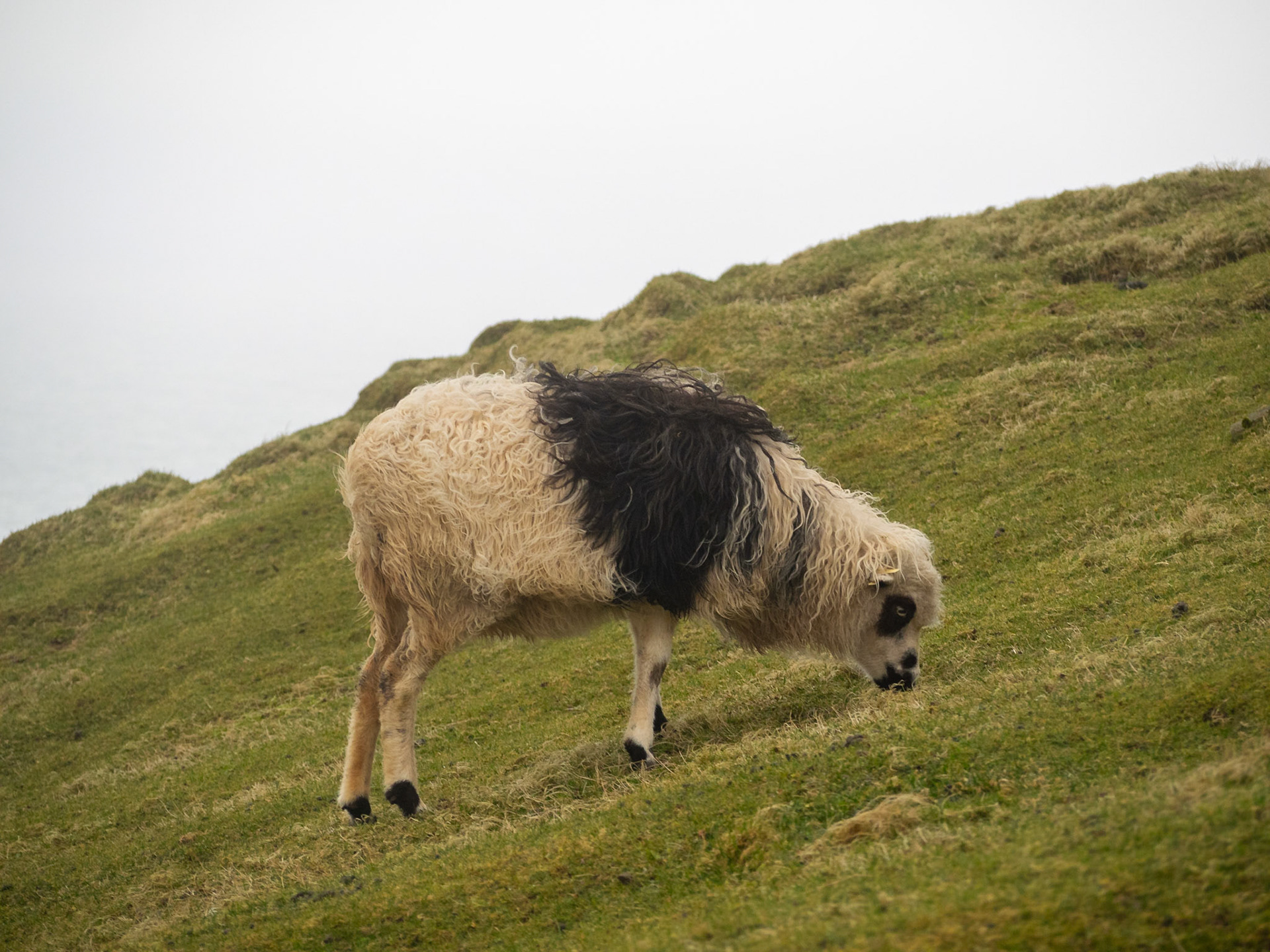
Faroese sheep grazing in Mykines

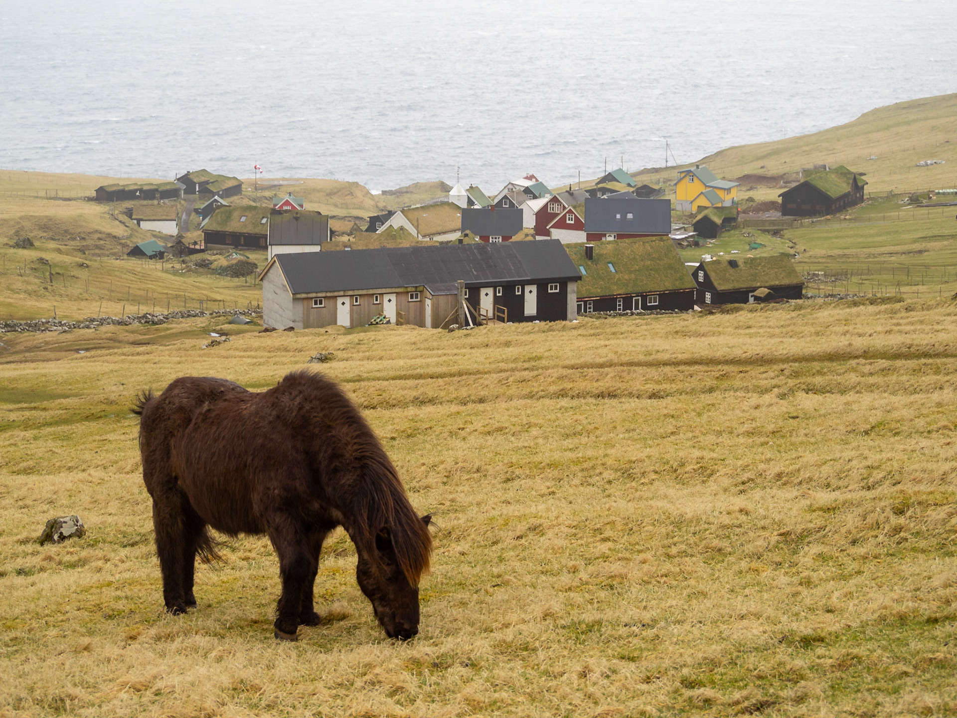
A horse grazing in Mykines island grass fields

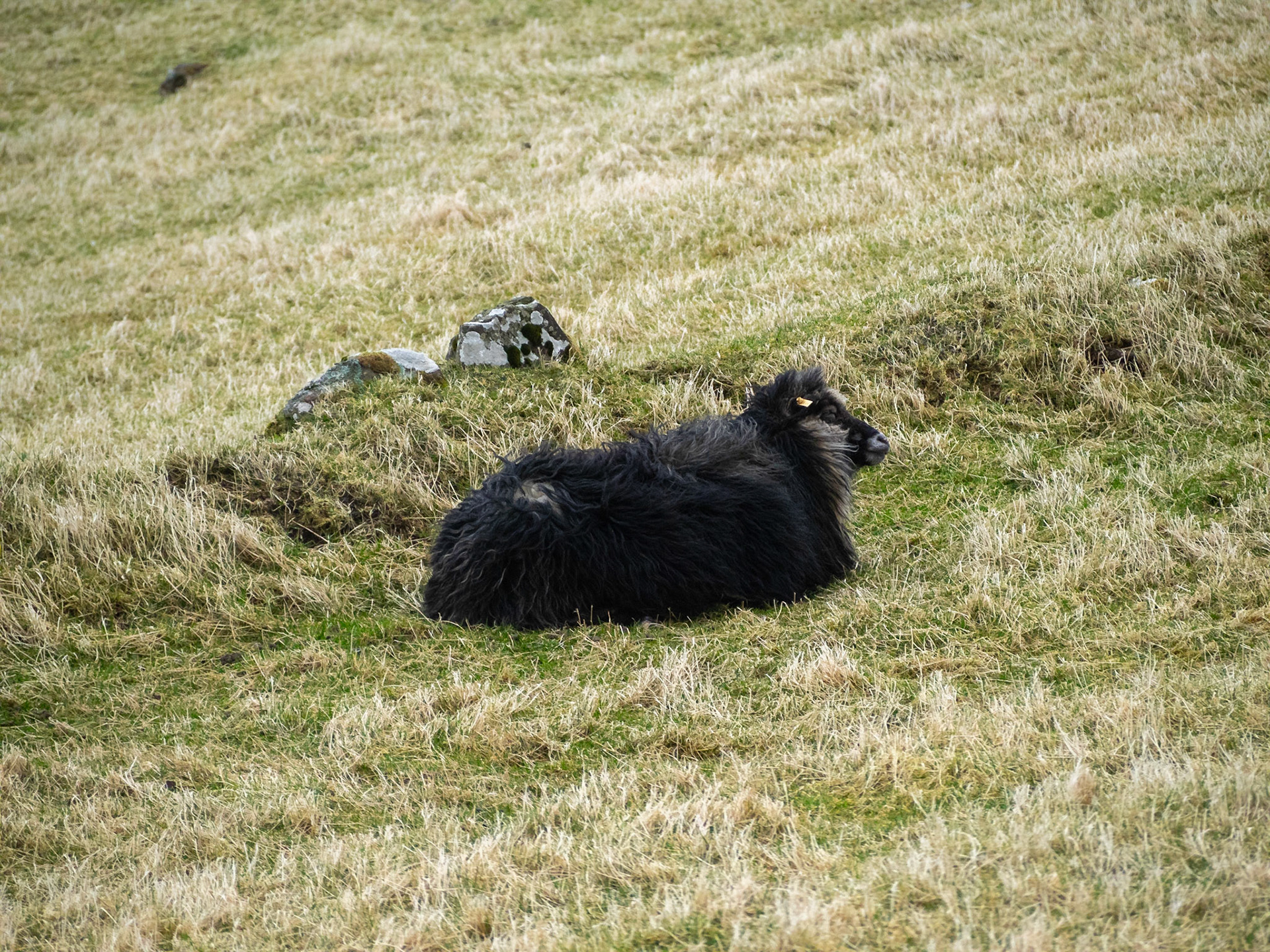
A black sheep lying in the yellow grass

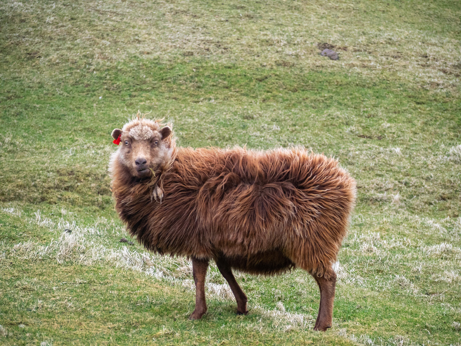
Brown sheep standing looking at camera

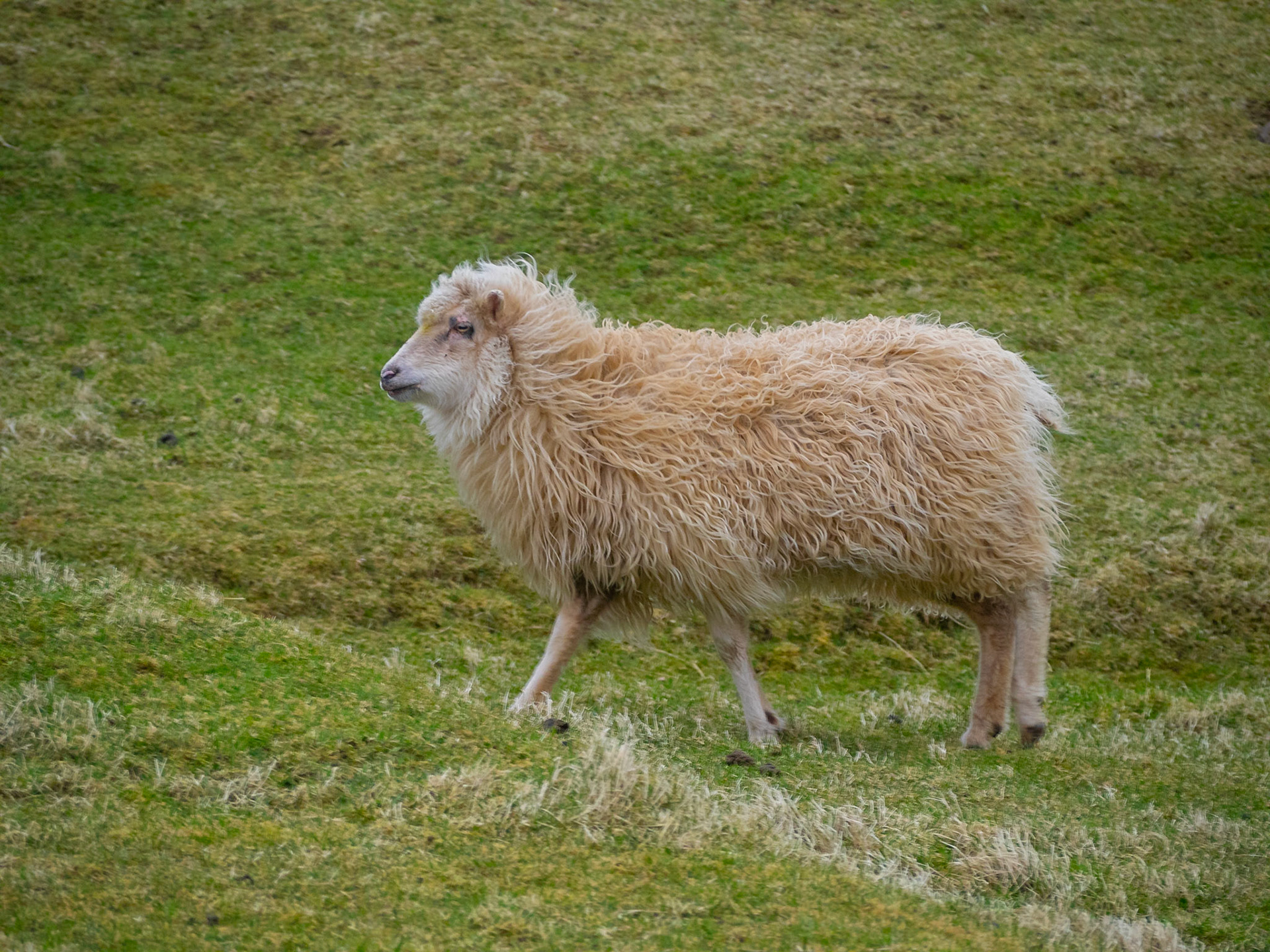
White sheep walking in the grass fields

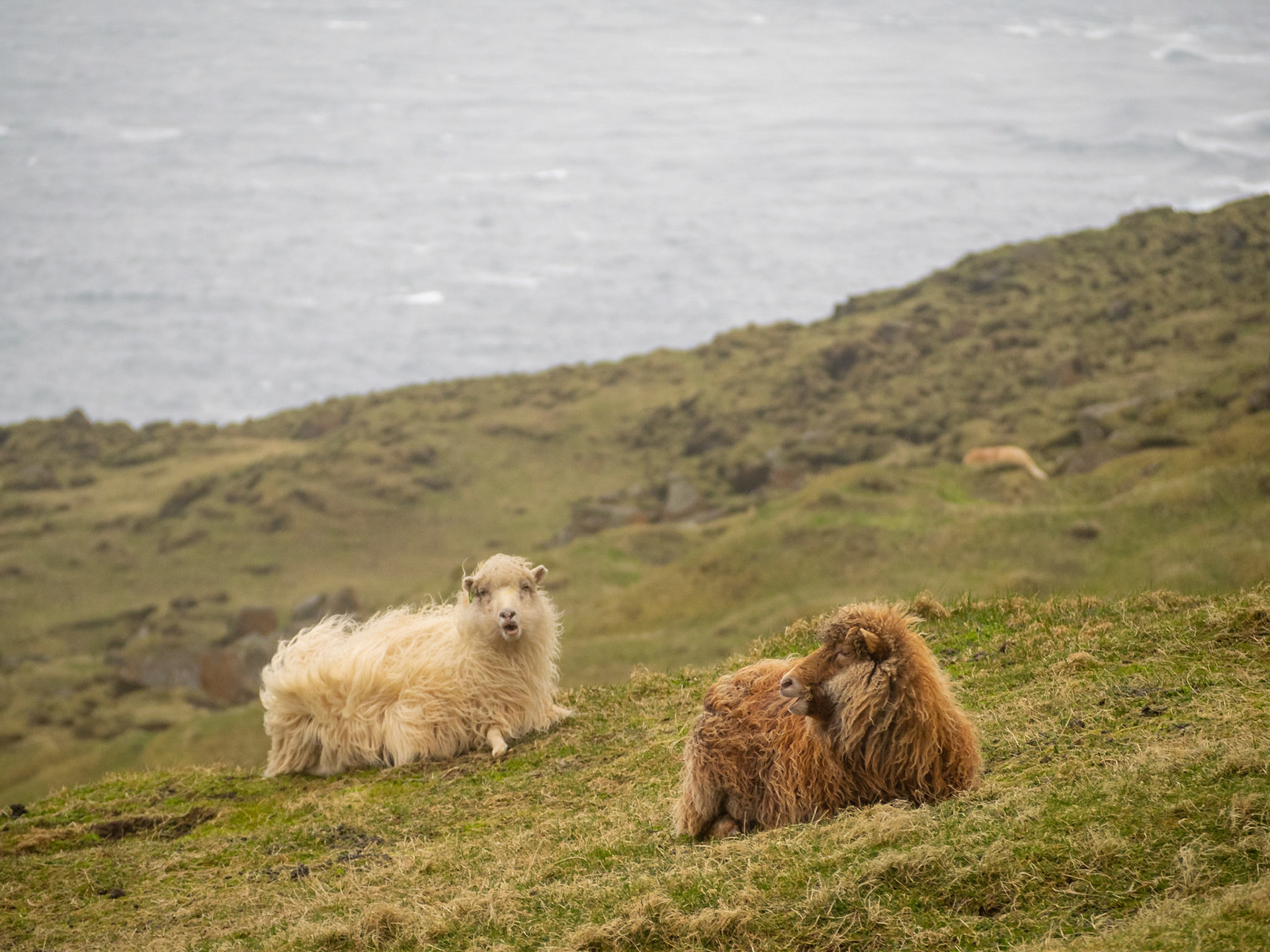
Two sheep lying in the grass

Black and white spotted sheeep grazing in the grass

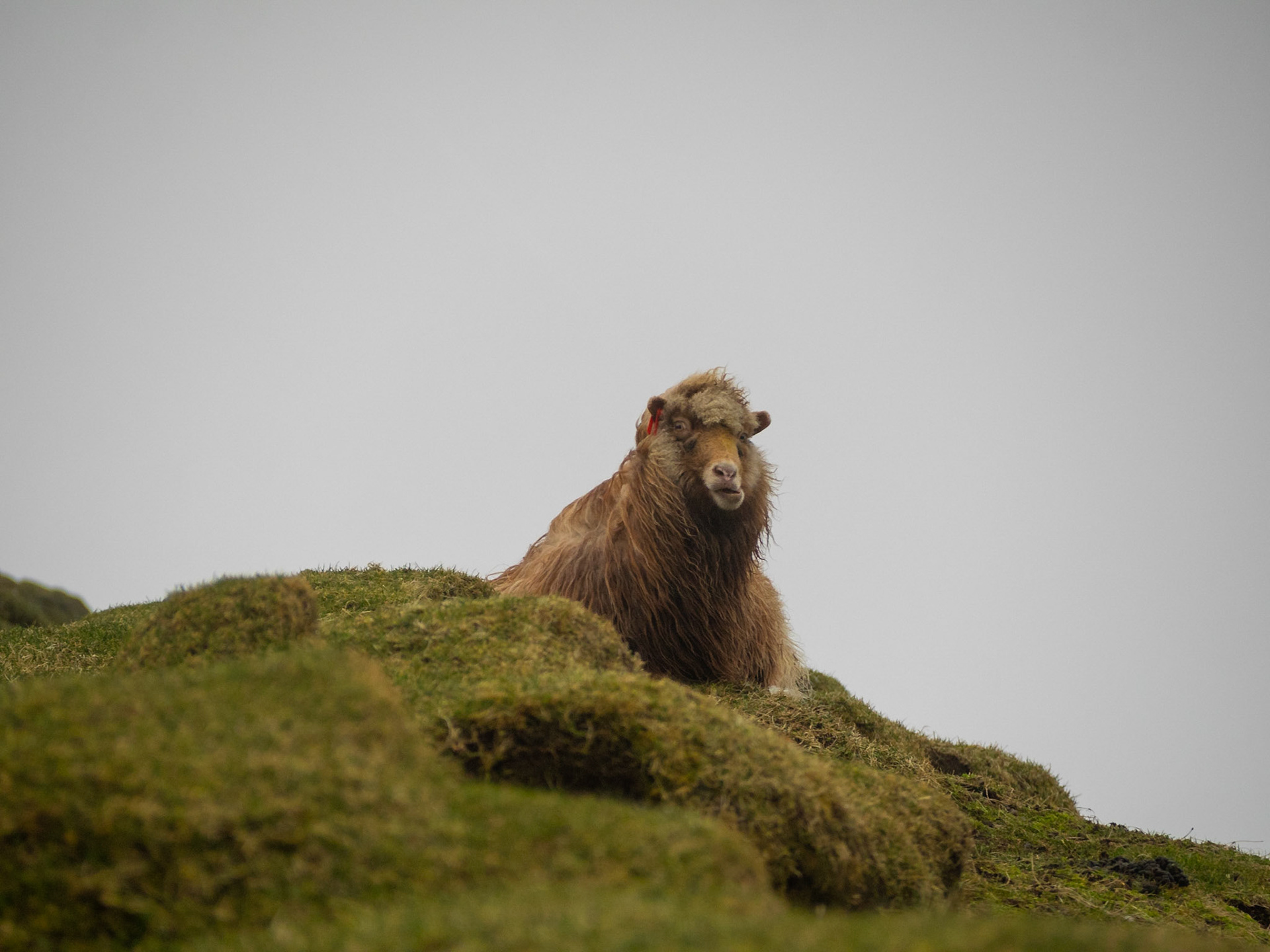
Brown sheep lying in the grass looking at camera

Mykineshólmur covered in green grass over the sea

Mykines village by the sea between the grass fields seen from Mykineshólmur

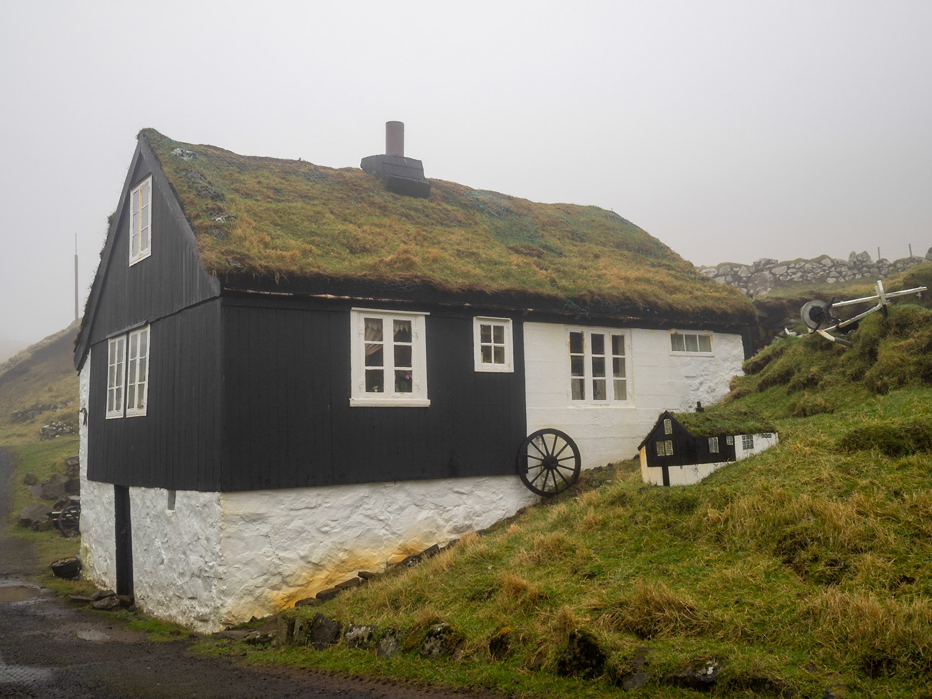
Mykines turf roofed house with smaller model on the side

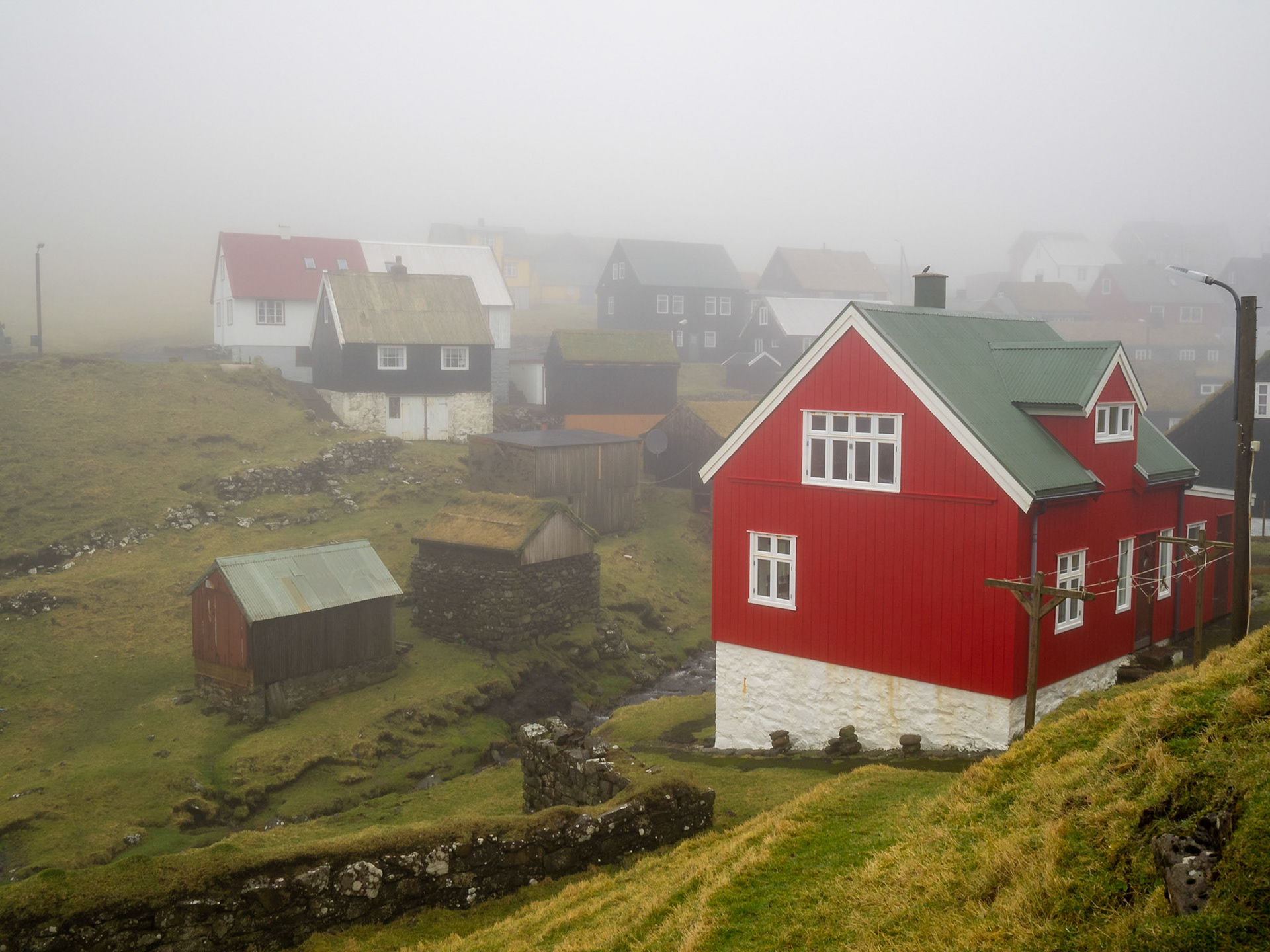
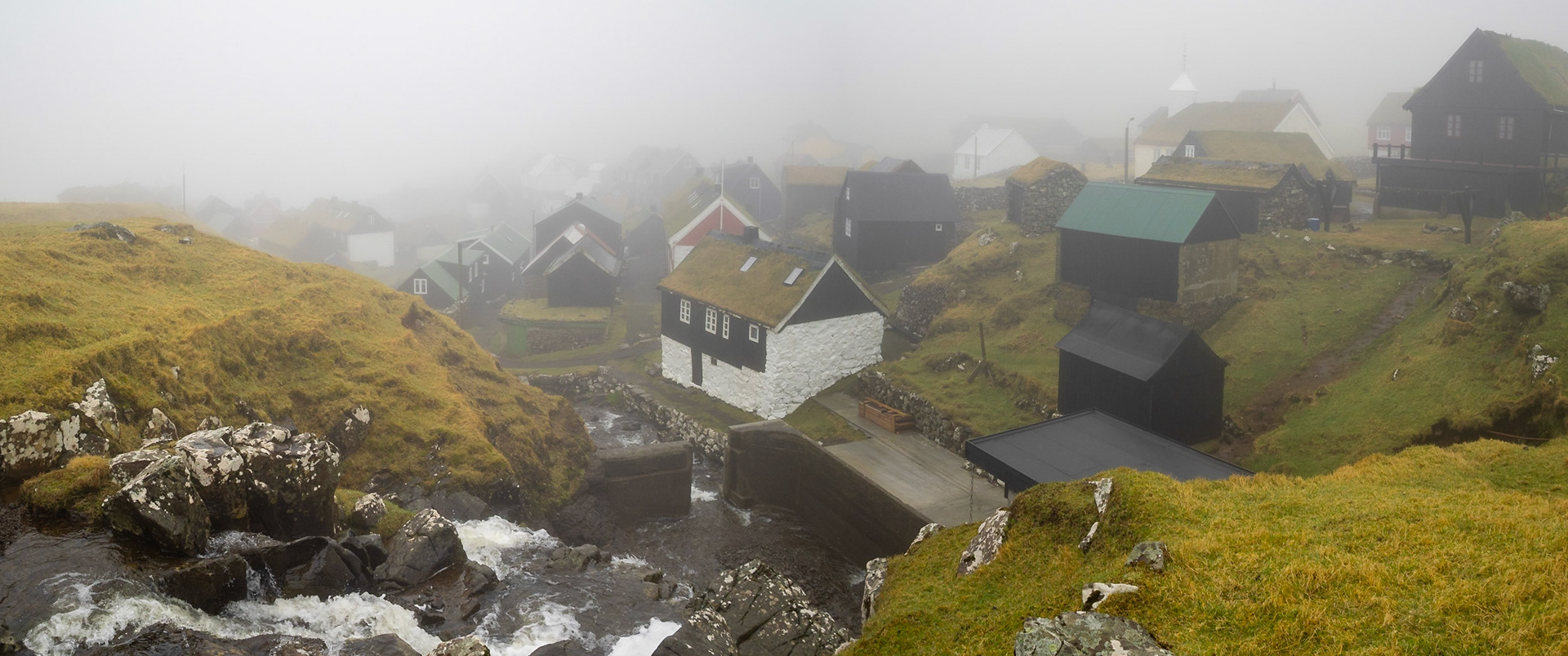
Mykines hamlet in the fog

Mykines hamlet in the fog

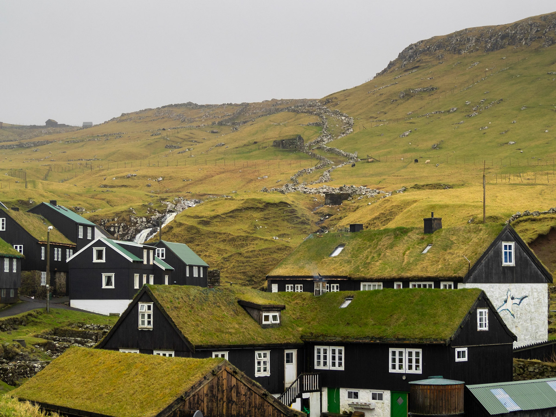
Black and white houses with turf roof of Mykines

The brook passing by Mykines hamlet tuf roofed houses

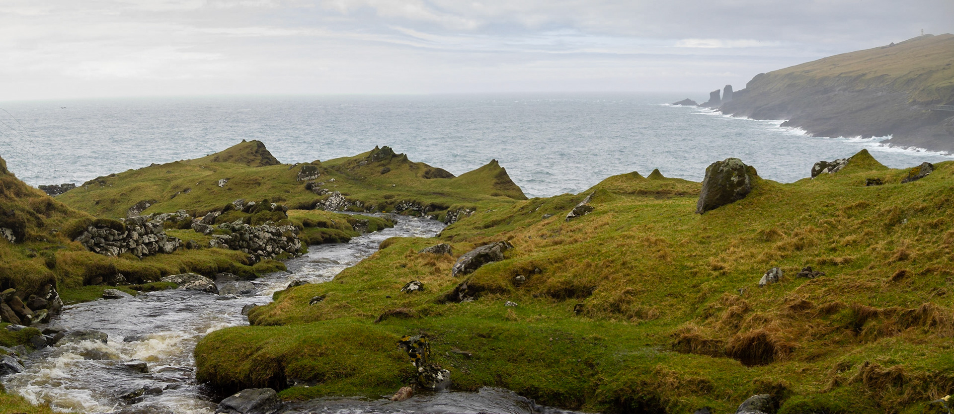
Mykines brook going to the sea

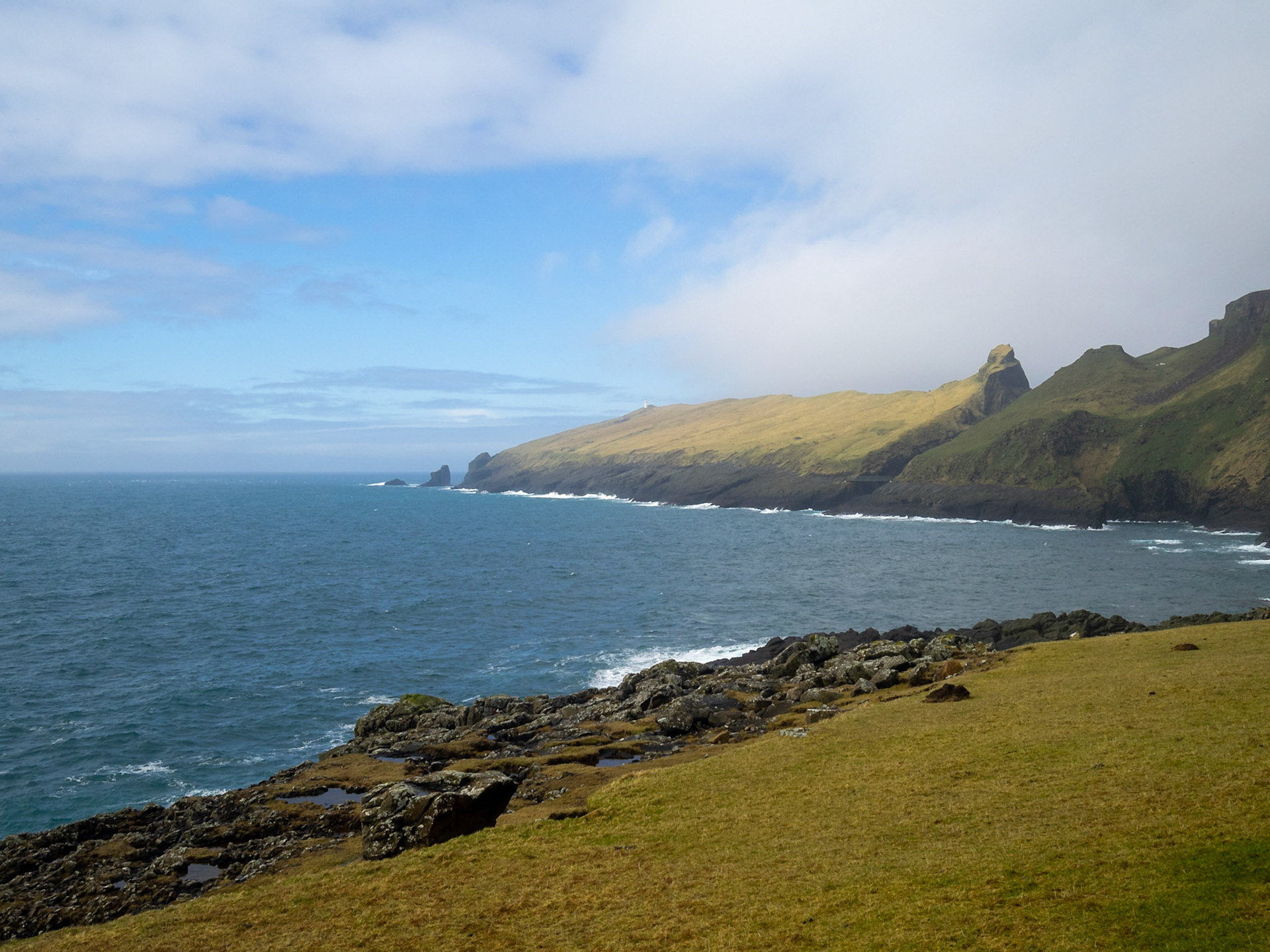
Mykineshólmur seen from the island

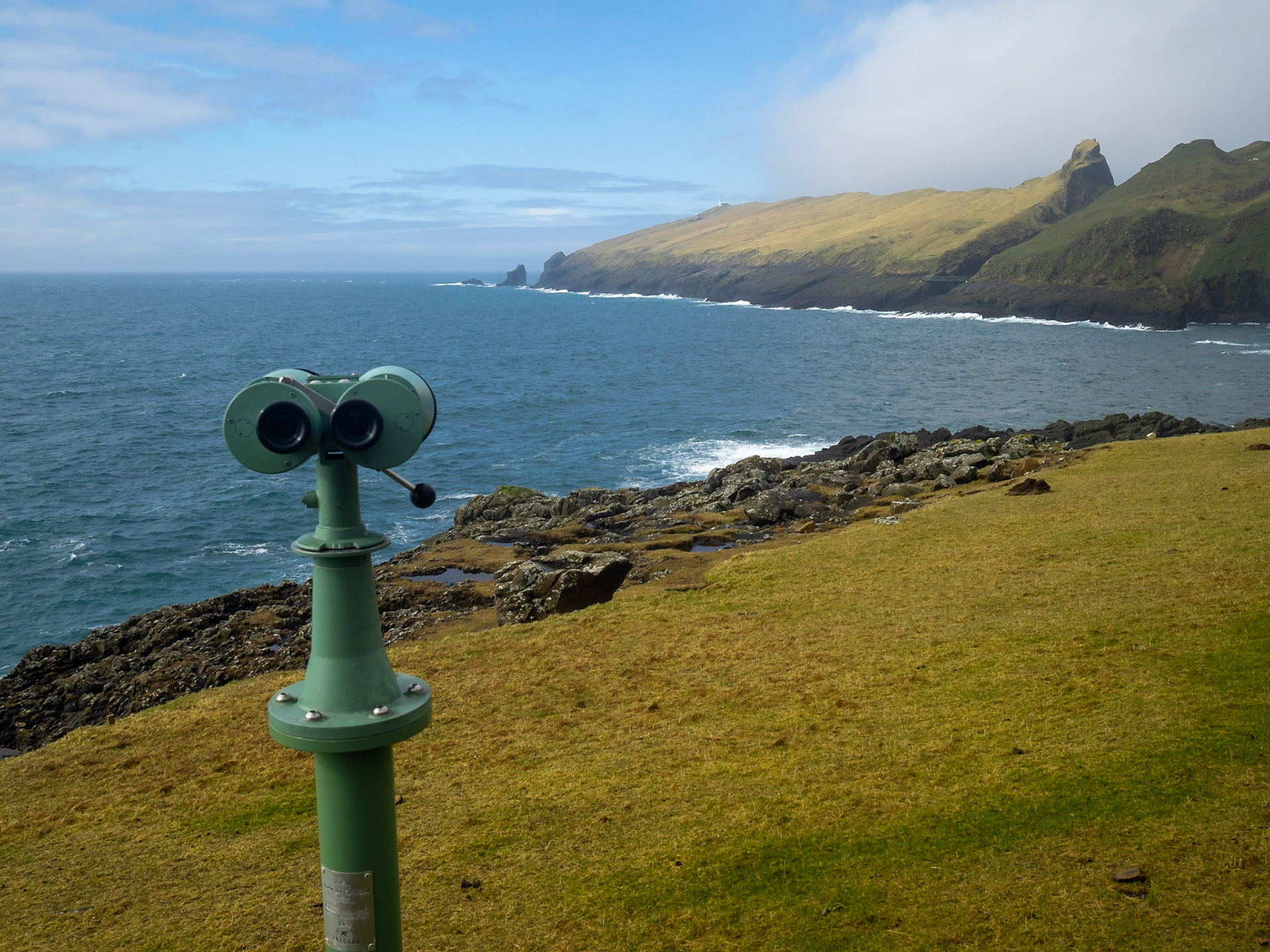
Binoculars pointing at Mykineshólmur

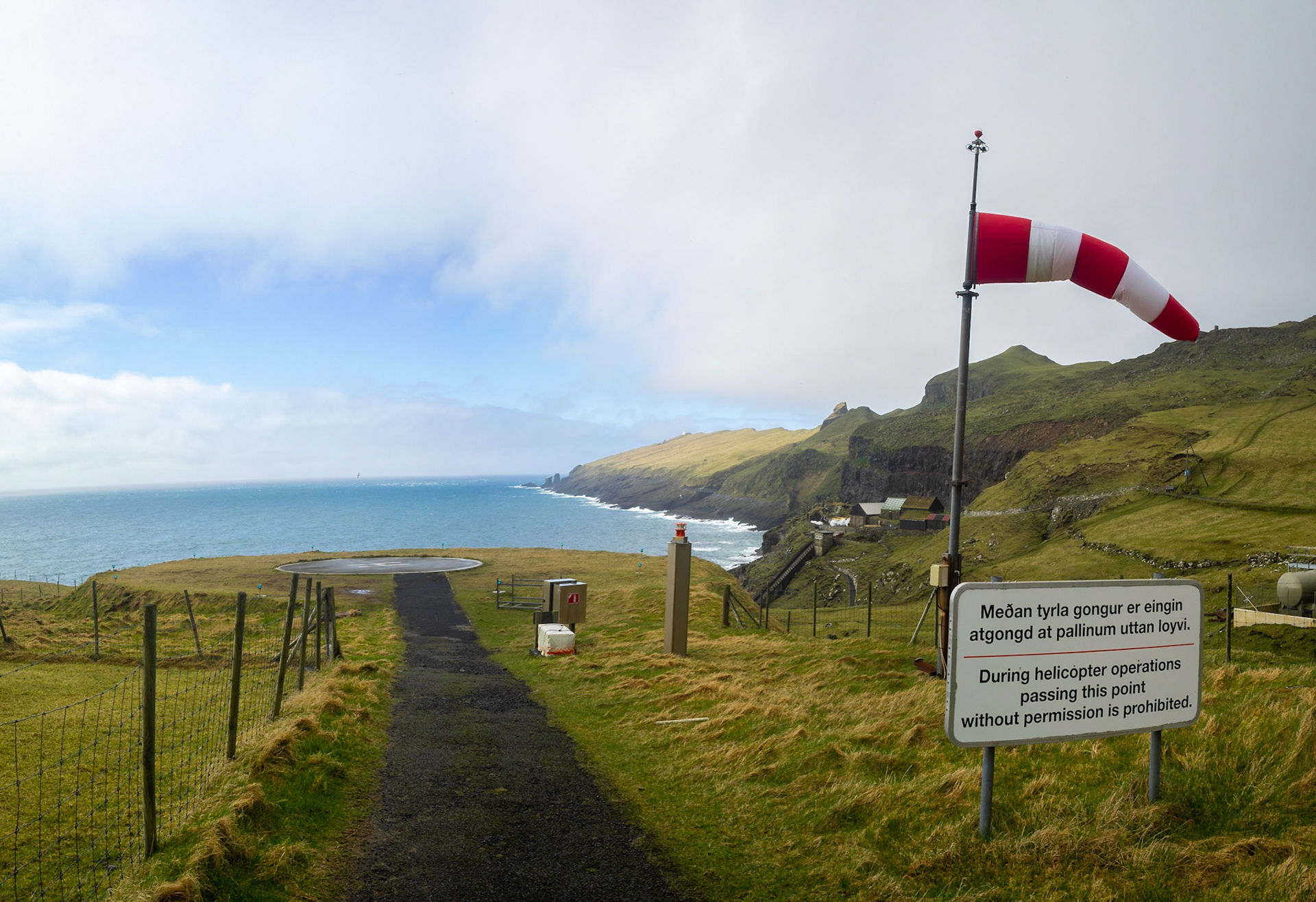
Mykines island heliport over the sea

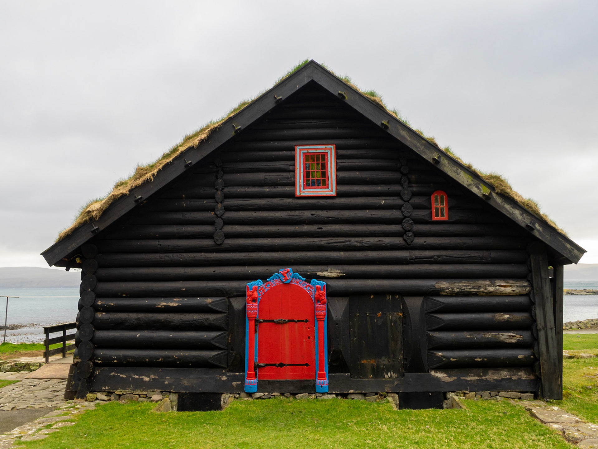
Hvalvík black church with turf roof

The road across Saksunardalur valley

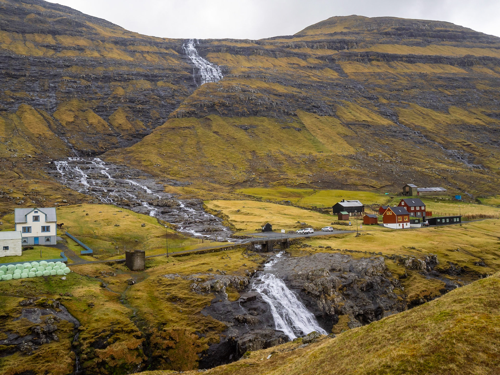
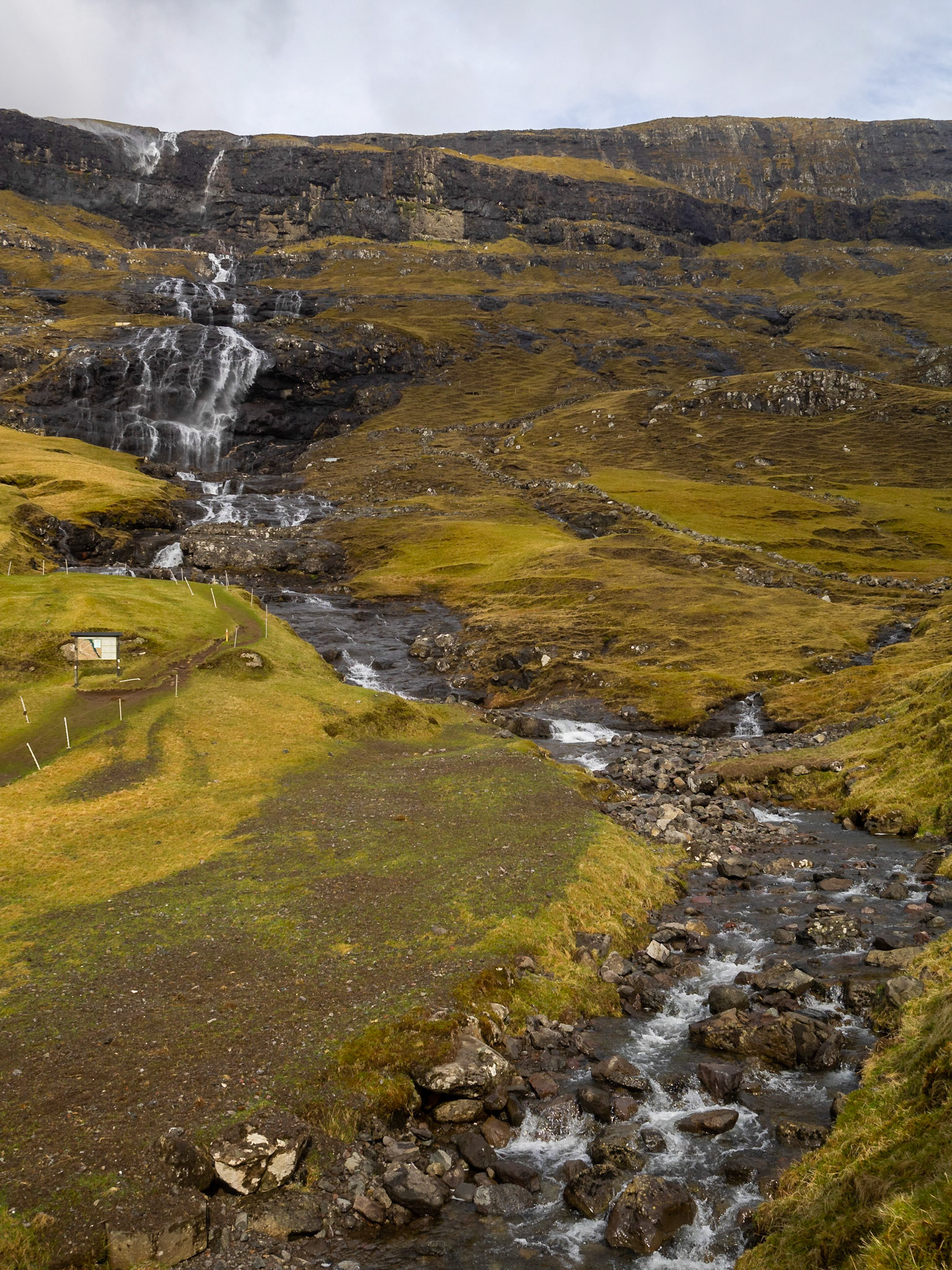
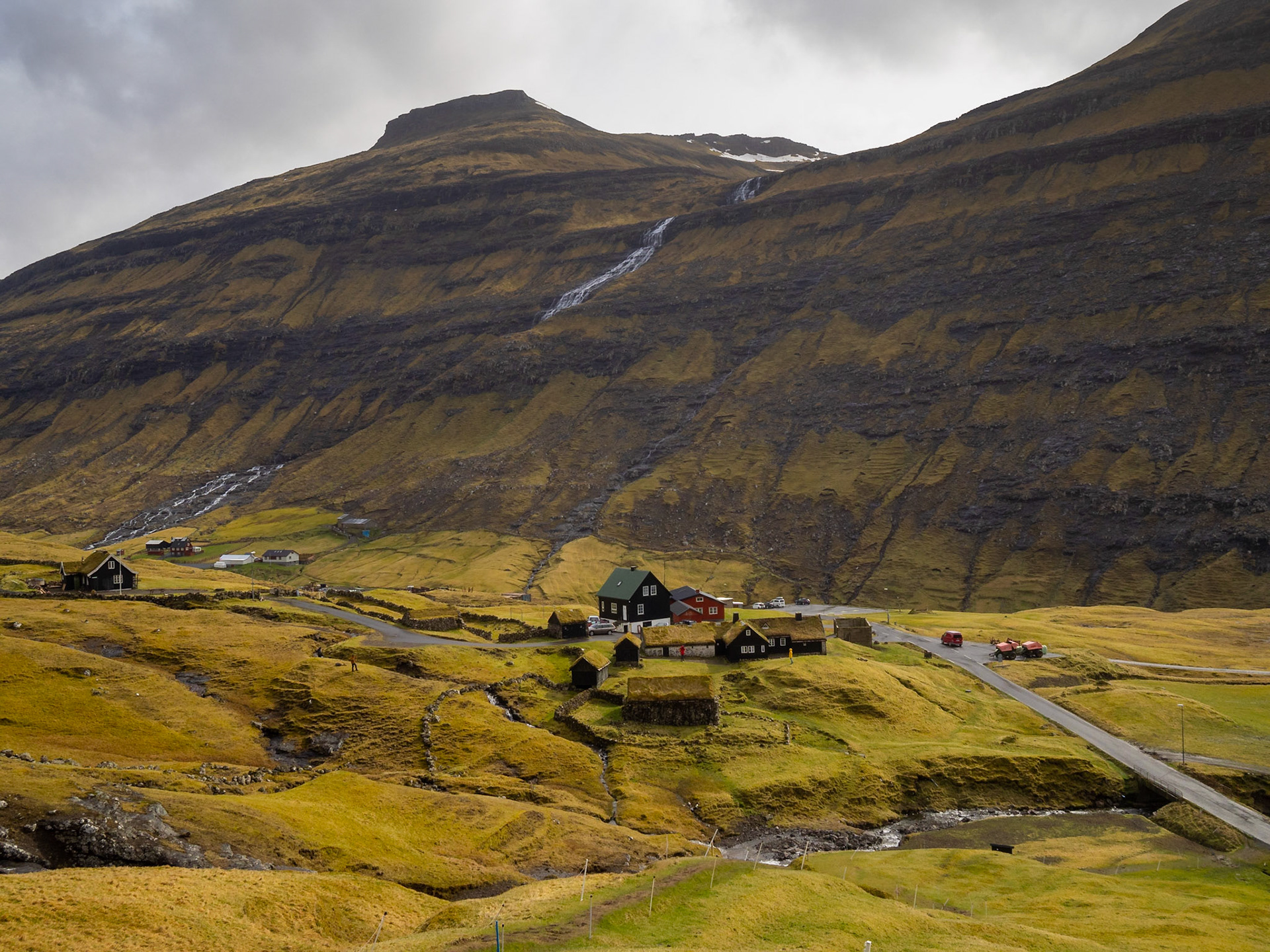
A waterfall descends the mountains in Saksun

Saksun ladnscape with the chursh

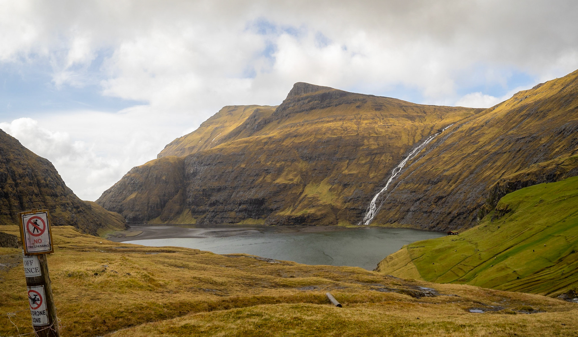
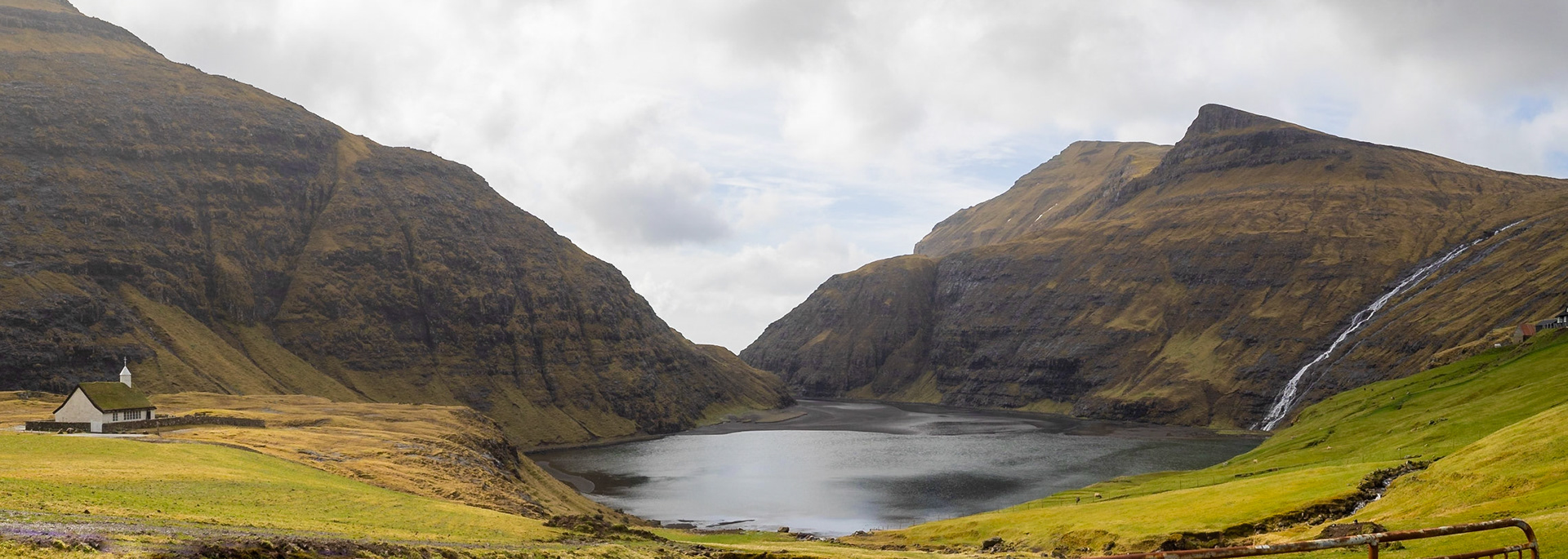
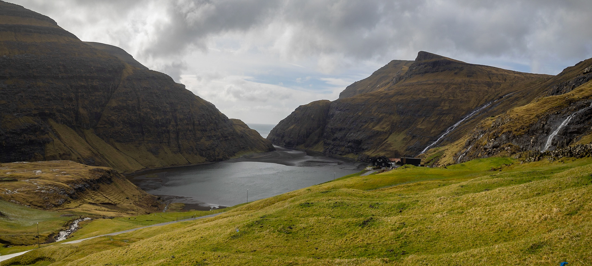
Saksun black sand tidal lagoon panorama

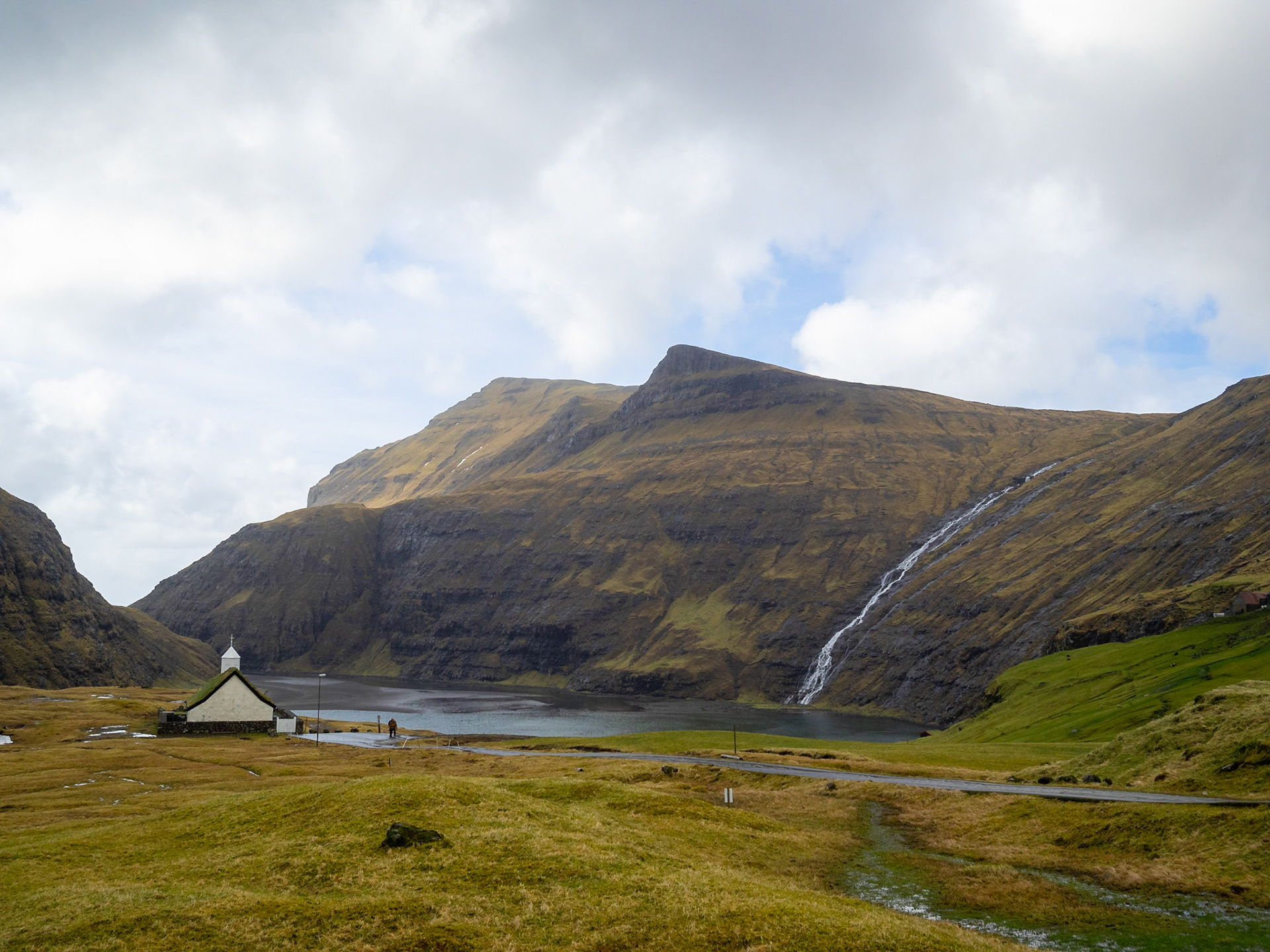
Saksun turf roofed church by the black sand tidal lagoon

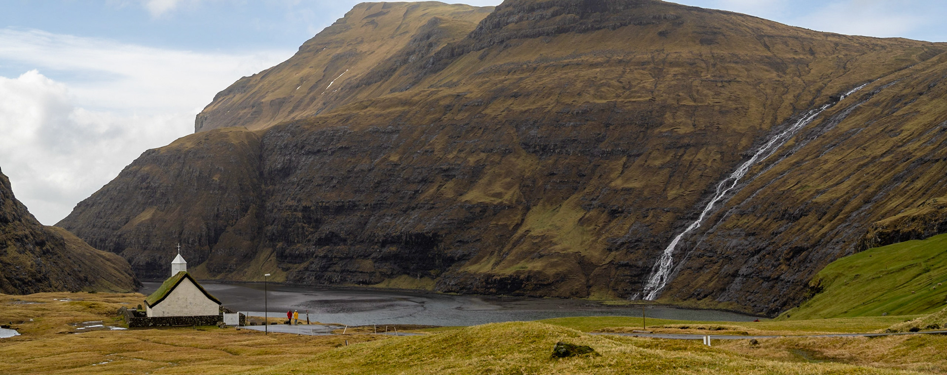
Saksun turf roofed church by the black sand tidal lagoon below the mountains

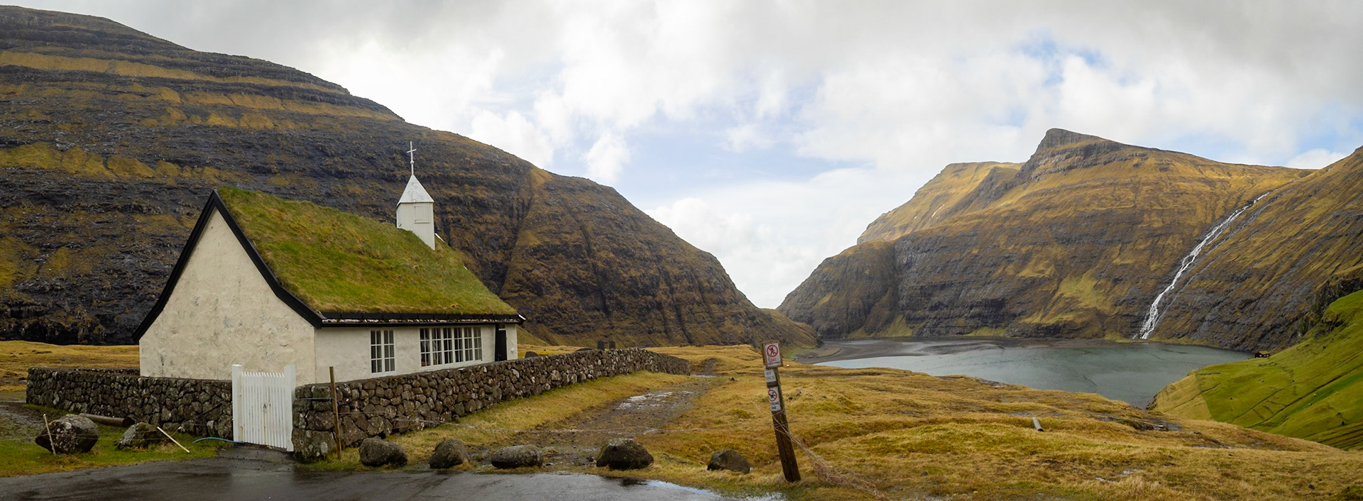
Panorama of Saksun tidal lagoon with green fields and the turf roofed church

A waterfall descends the mountains in Saksun

Saksun turf roofed houses in the middle of the green grass fields

Saksun black sand tidal lagoon with the sea behind the mountains

Saksun seen from the hiking path on the mountain

Saksun and the lagoon seen from the hiking path on the mountain

Saksun seen from the hiking path on the mountain

The road exiting Saksun

Eiði church

Horn, Sandfelli and Gráfelli mountains by Eiðisflógvi gulf

Eiði seen behind Niðara Vatn lake

Eysturoy landscape near Eiði

Eiðisvatn lake panorama

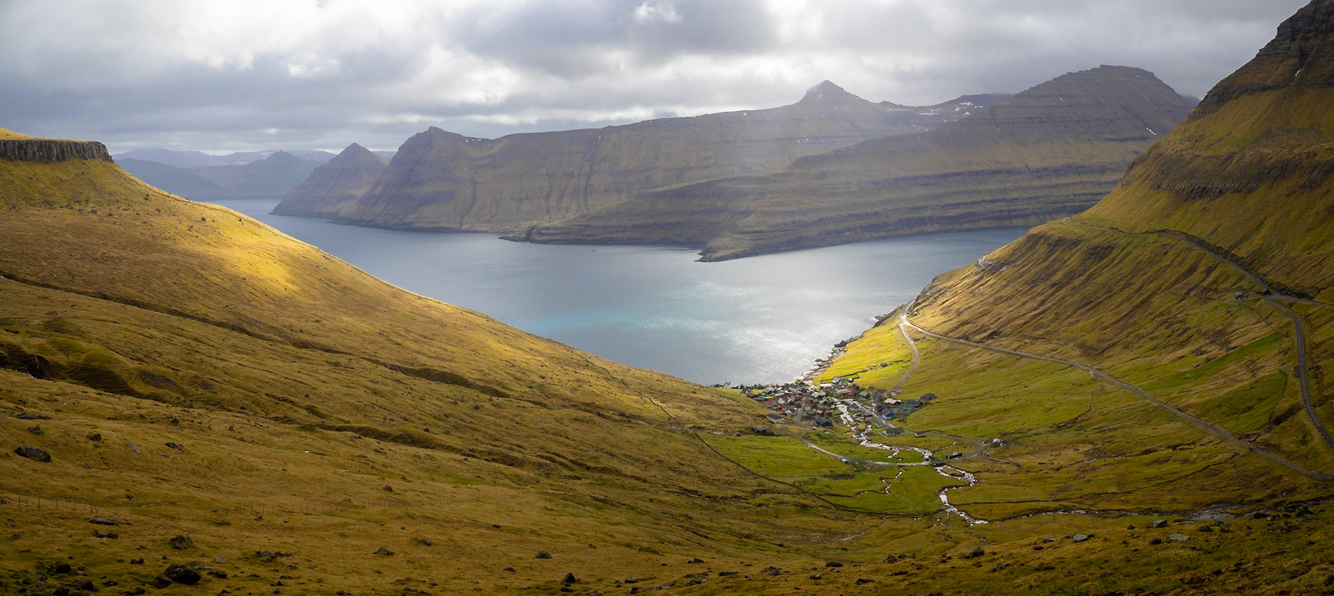
View of Funningsfjørður with Kalsoy in background

Road going down Slættaratindur mountain to Funningsfjørður

Gjógv road with Kalsoy in background

Middagsfjall over Gjógv village

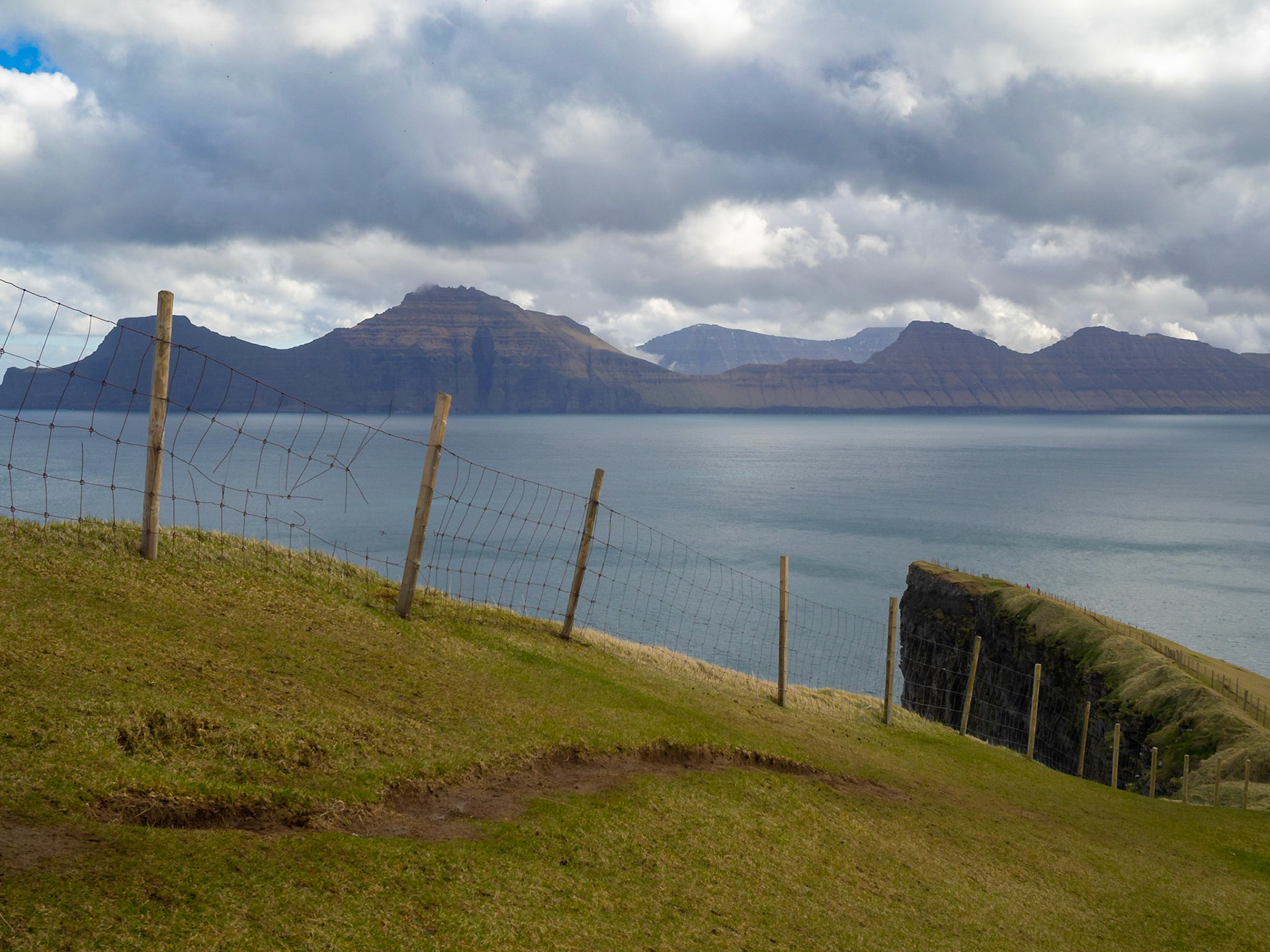
Djúpini sound seen from Gjógv with Kalsoy island silhouette on the horizon

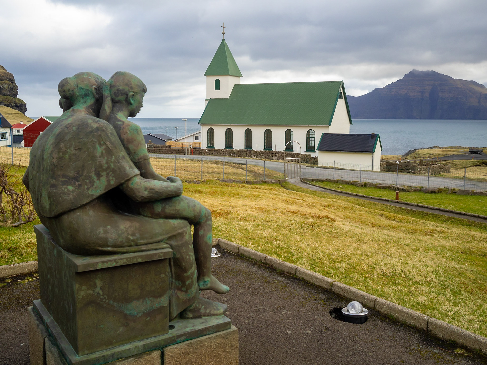
Fritjof Joensen sculpture of mother and two children by Gjógv church

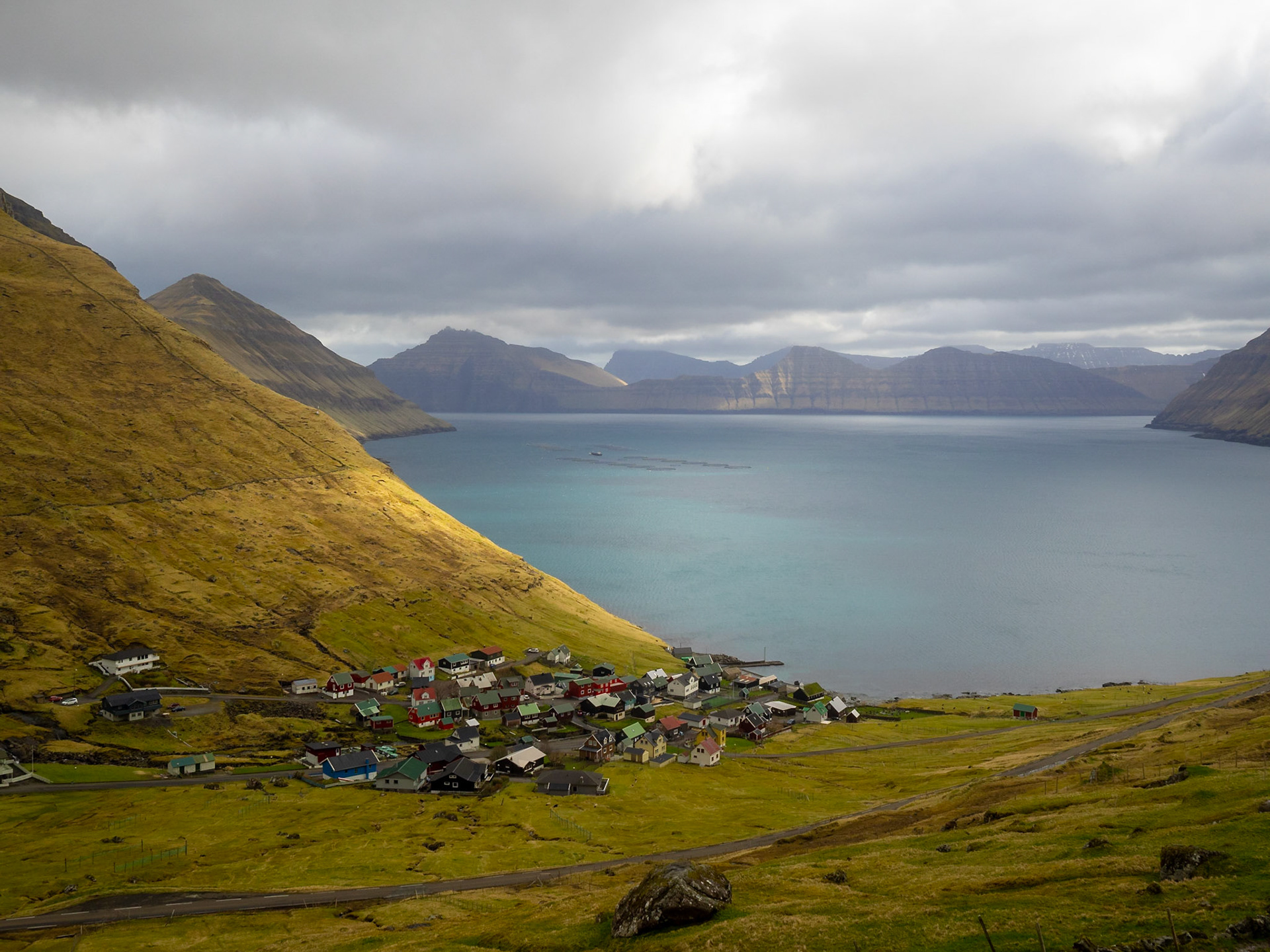
Funningur below Húsafjall with the fjord entrance and Múlin and Sandfelli in background

Funningur hamlet by the fjord with Kalsoy in background

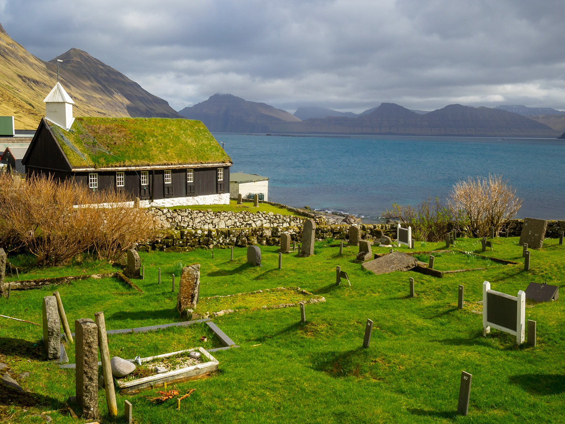
Funningur black turf rooffed wooden church and graveyard by the fjord

Funningur below Slættaratindur and by the Funningsfjørður fjord

Elduvík church

Elduvík colorful wooden houses

Elduvík village below Skoratindur mountain

Toftir church

Nes church constrcuted with black-tarred timber and a slate roof

View towards Nólsoy from the Nes vindmøllepark

Eysturoy east coastline seen from the Millum Fjarða

Hiking Slættaratindur slop with Vaðhorn on the left and lake Eidi and Streymoy island in background

Hiking Slættaratindur looking at Vaðhorn, Blámansfjall and Húsafjall

Hiking Slættaratindur looking at Vaðhorn, Blámansfjall and Húsafjall with lake Eidi, Sundini sound and Streymoy island in background

Funningur hamlet below Húsafjall mountain by Funningsfjørður fjord seen from Gongutúrur / Hvithamar trailhead

Eysturoy landscape seen from Gongutúrur / Hvithamar trailhead with Funningsfjørður fjord

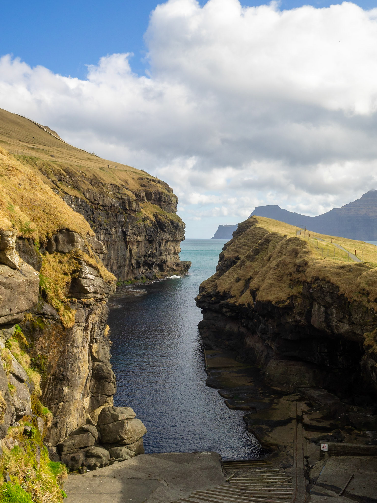
Gjógv rocky cleft harbour with Kalsoy in background

Gjógv village below Tyril, Middagsfjall and Slættaratindur mountains

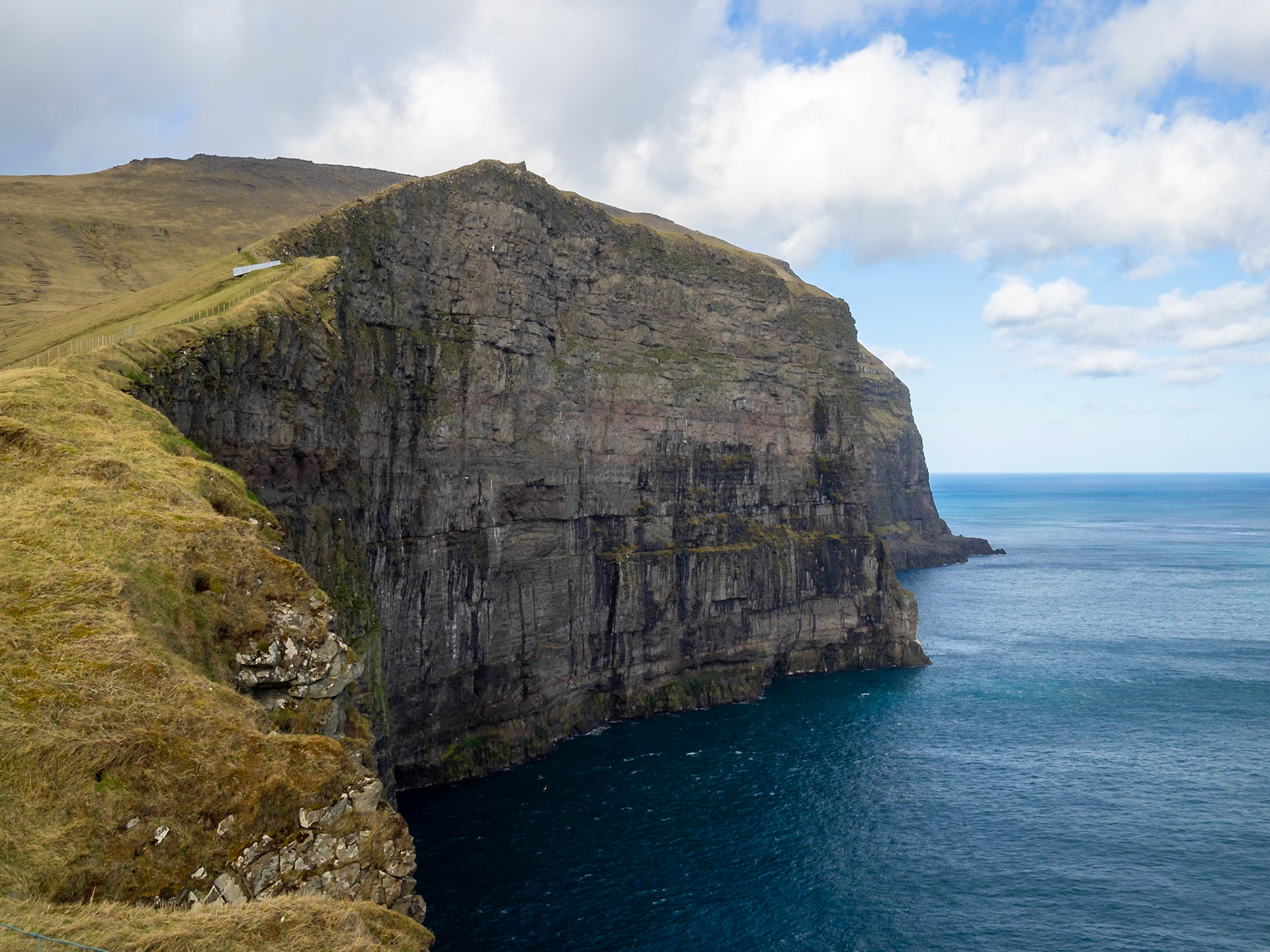
Fjallið muntain behind the sea cliffs by Gjógv

Hiking path by the cliffs up to Fjallið maountain with Kalsoy island in background

Yellow grass pasture fields between Middagsfjall and Slættaratindur mountains in Gjógv gorge

Waterfall from the cliffs over the sea from Fjallið mountain

Oyndarfjørður fjord panorama with Kalsoy island in background

Oyndarfjørður fjord road with a waterfall tumbling down the mountain

Oyndarfjørður church

Fuglafjørður seen from the port

Fuglafjørður panorama with Gjógvaráfjall mountain

Traditional houses with black tared timber walls and turf roof in Fuglafjørður

Fuglafjørður church

Leirviksfjørður panorama, looking at the south of Kalsoy island with Borðoy island on the right

Road to Kunoyar hamlet, below Kúvingafjall mountain, with Kalsoyarfjørður and Kalsoy island on the left

Kunoyar church by Kalsoyarfjørður fjord

Kunoyar hamlet church below Urðafjall mountain

Panorama of Kalsoyarfjørður and Kalsoy island seen from over Kunoyar hamlet

Kunoy park with a cascade brook passing through

Kunoy park below Urðafjall mountain

Kunoy park below Urðafjall mountain

Sheep grazing in the grass over Kunoyar hamlet by Kalsoyarfjørður fjord

Road along Kalsoyarfjørður fjord in Kunoy island

Waterfall tumbling down the mountain between the grass fileds of Kunoy island

Kalsoyarfjørður fjord and Kunoy island

Sheep in the grass fields of Kunoy island by Kalsoyarfjørður fjord

Kunoy landscape with black sheep

Panorama of the south of Kunoy island with low clouds

Panorama of Kunoy and Kalsoy islands with low clouds

Kalsoy island east coast panorama

Syðradalur hamlet in the Botnstindur mountain slop, Kalsoy

Syðradalur hamlet port below the mountain slop, Kalsoy

Kalsoyarfjørður fjord illuminated by the sunlight passing through the clouds

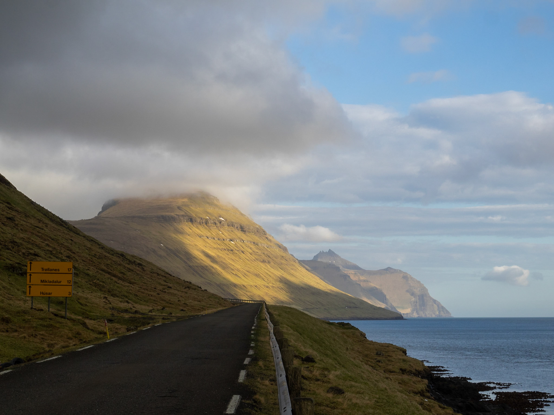
Looking north along the road, Kalsoy

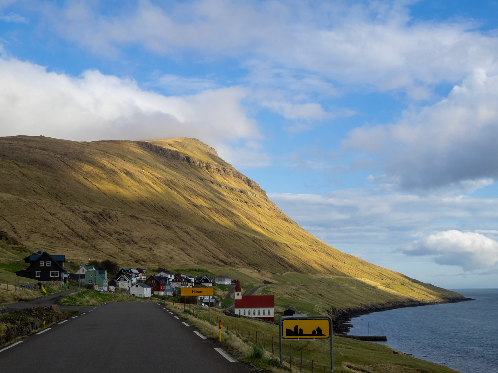
Entering Húsar from the south

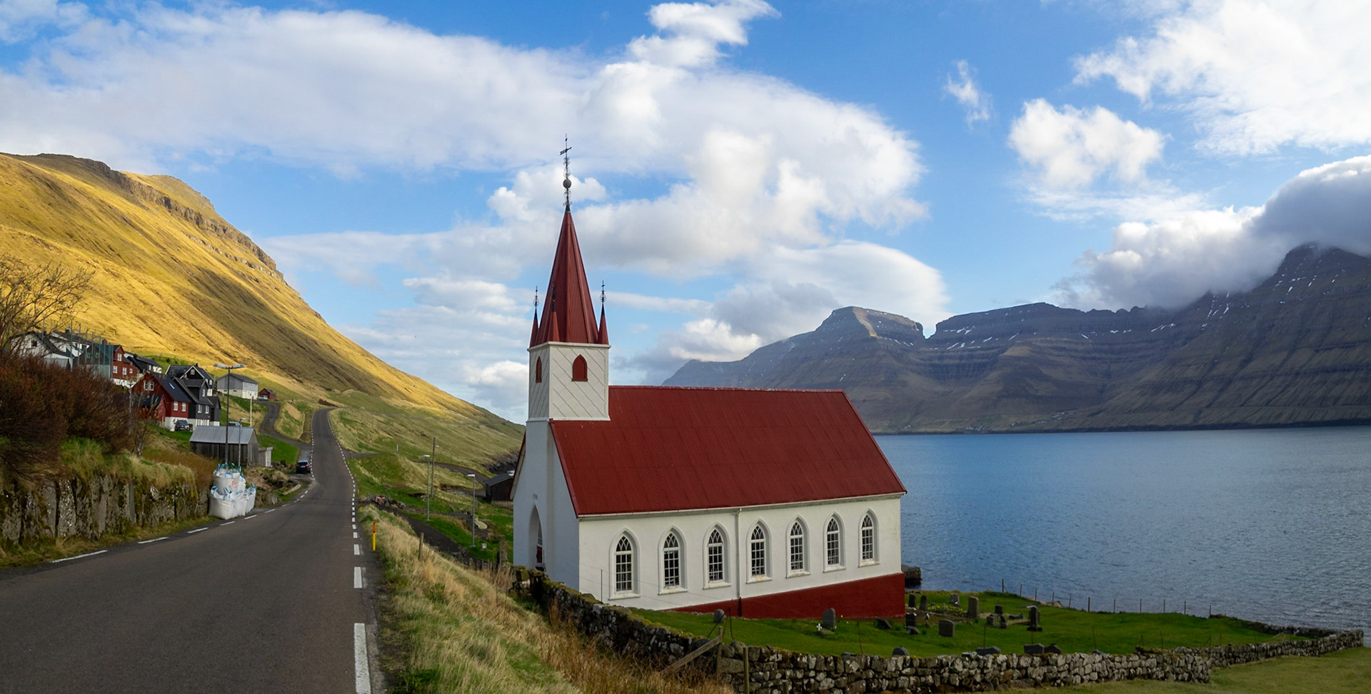
Húsar church by Kalsoyarfjørður fjord and the road to the north

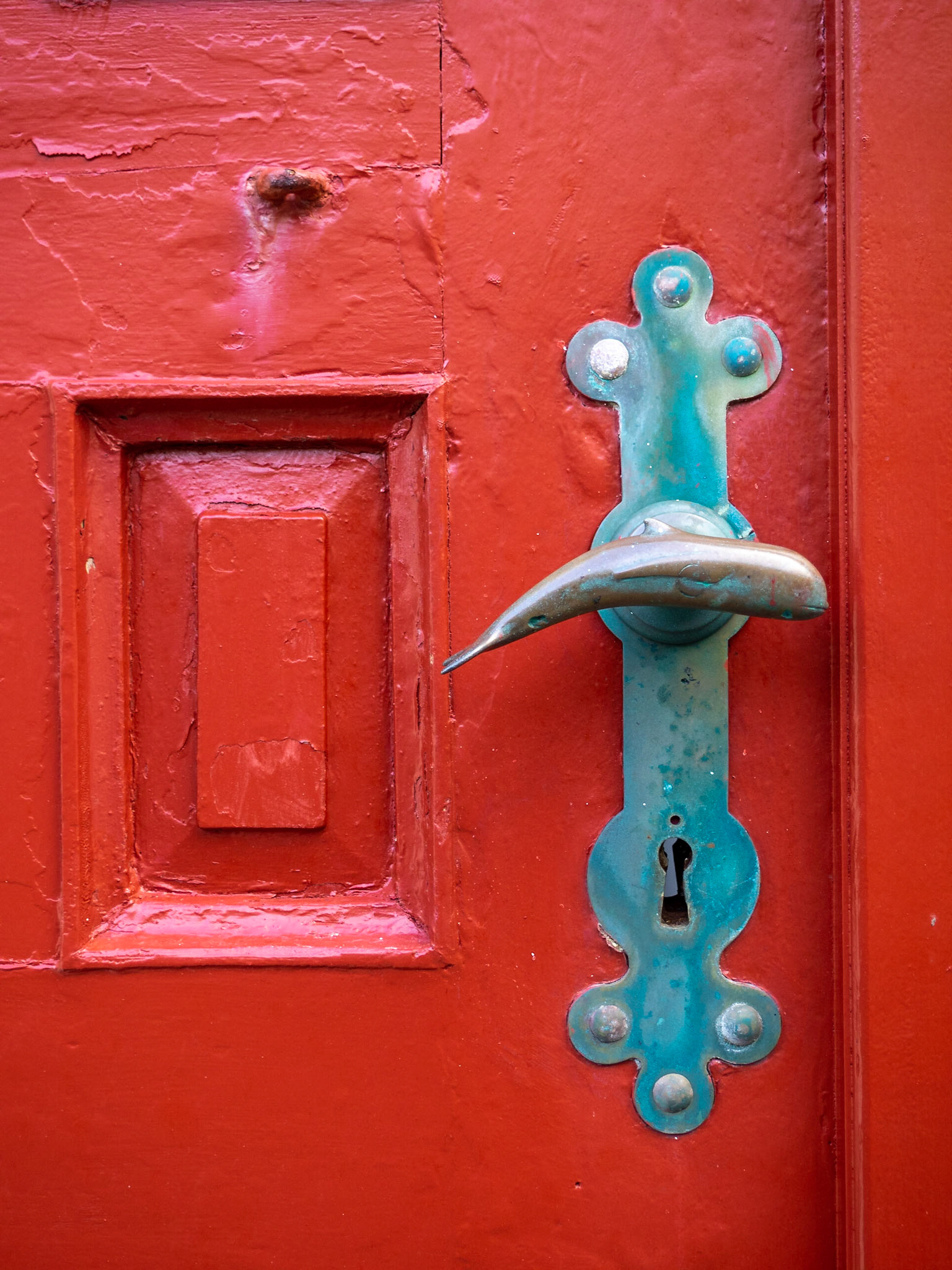
Whale shaped doorknob on the red door of Húsar church

Winding road along Kalsoy coastline

A tunnel cutting through the mountain in Kalsoy

A tunnel cutting through the mountain slop in Kalsoy

Road and tunnel cutting through the mountain in Kalsoy

Mikladalur church

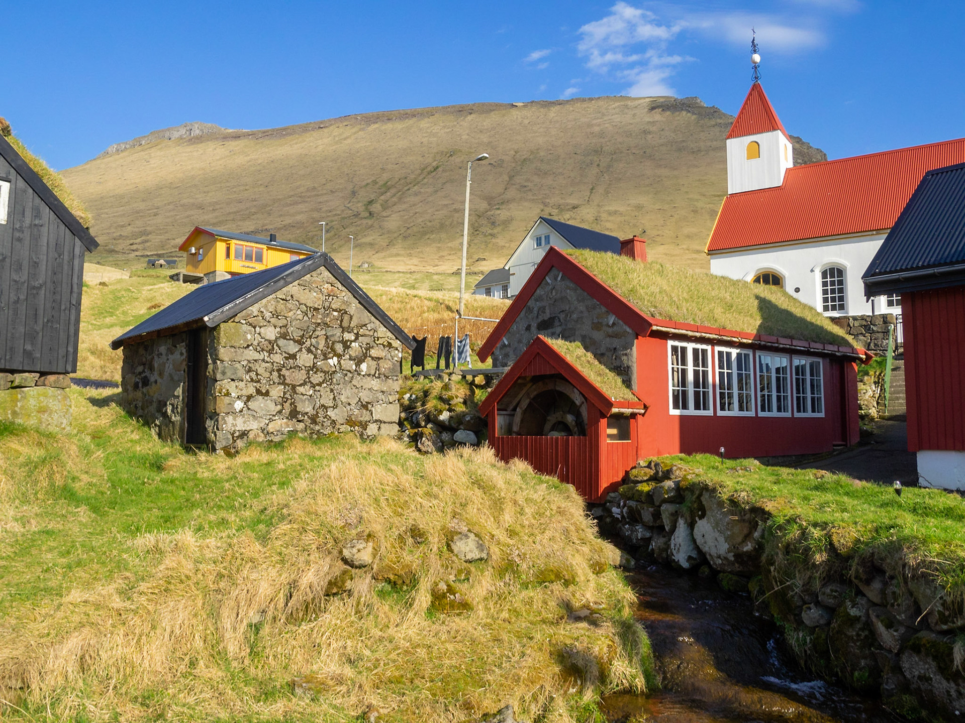
Old water mill in Mikladalur hamlet

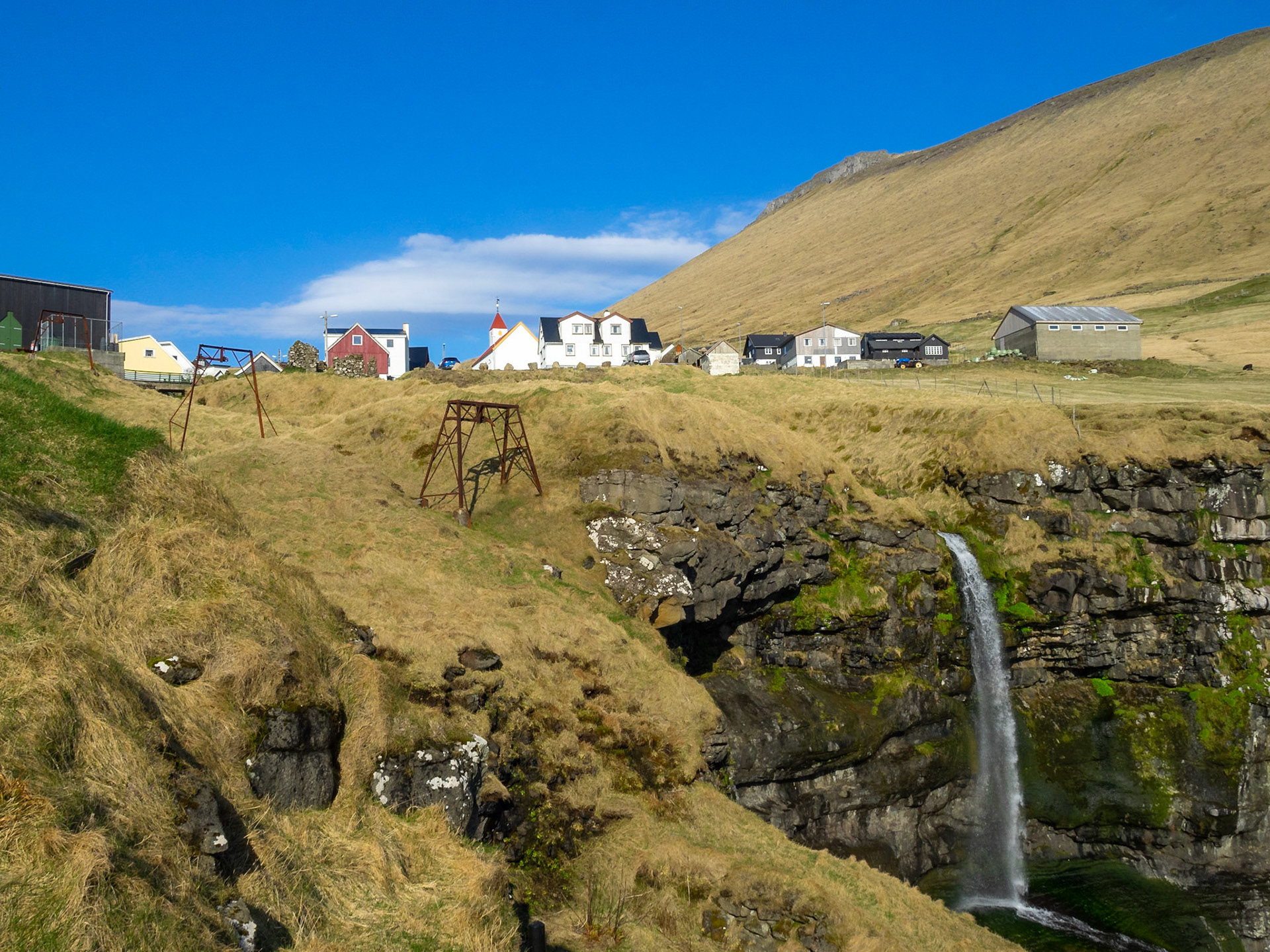
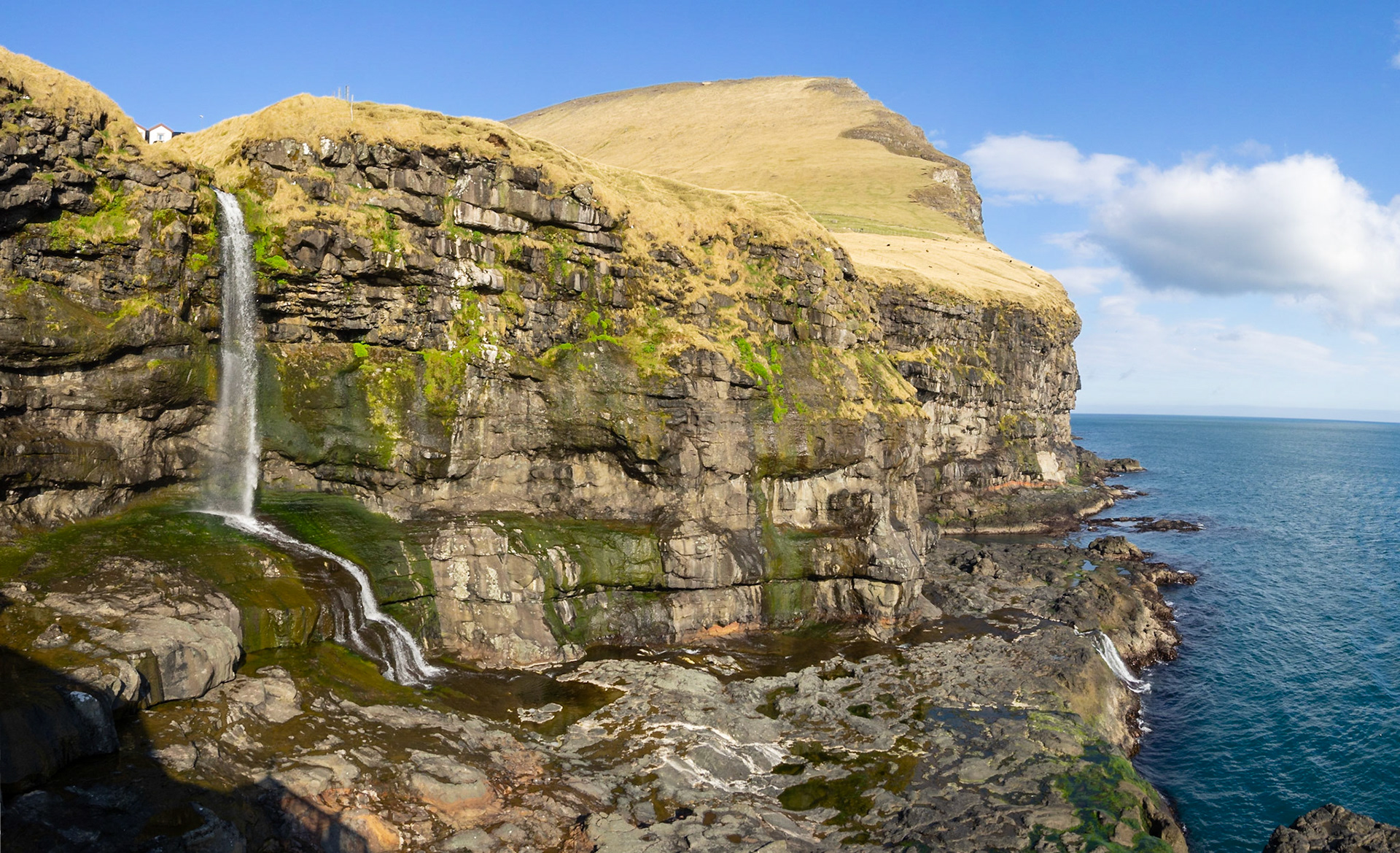
Mikladalur over the cliff and the waterfall

Kalsoy coastline cut in the mountain cliffs near Mikladalur

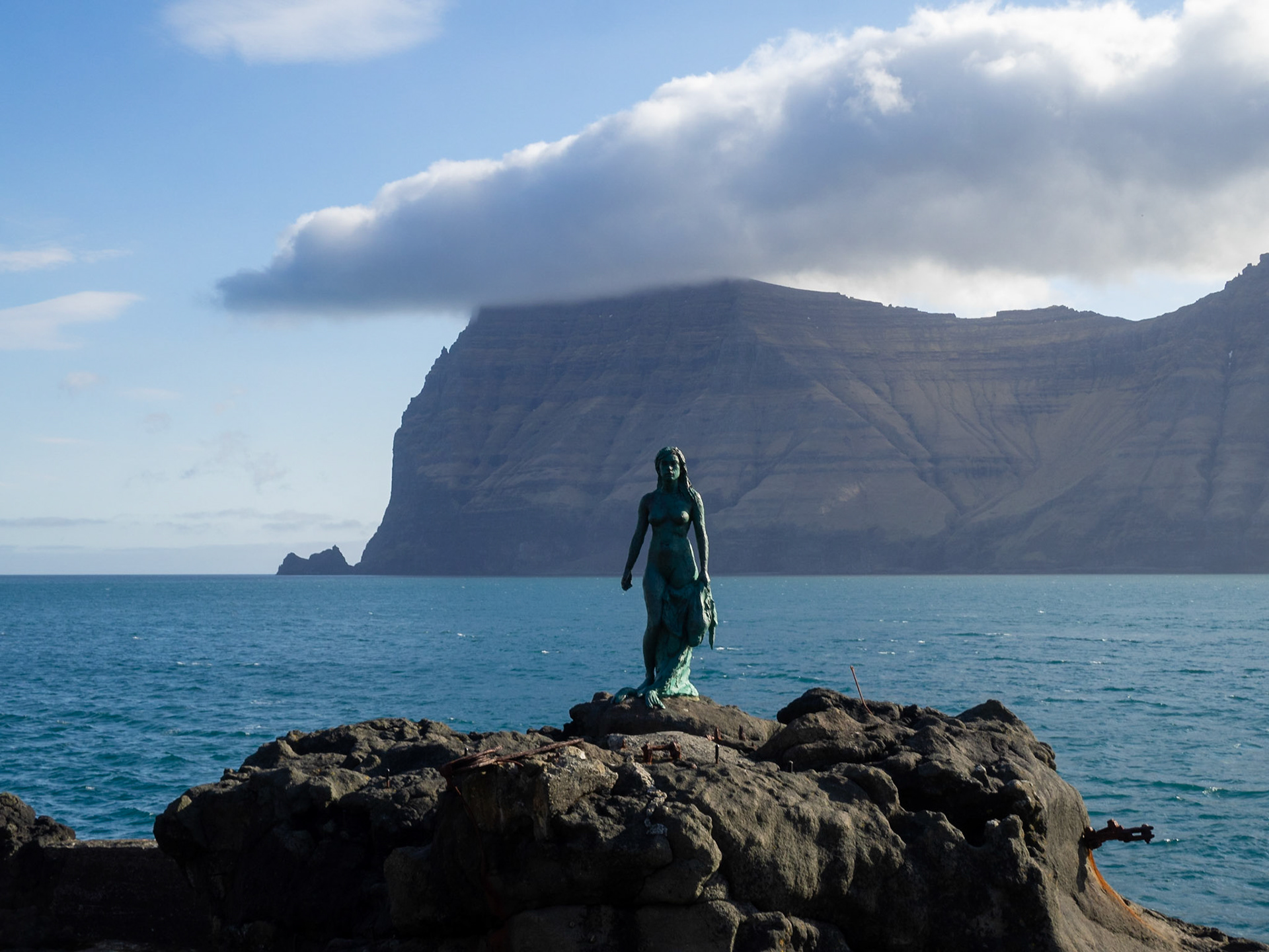
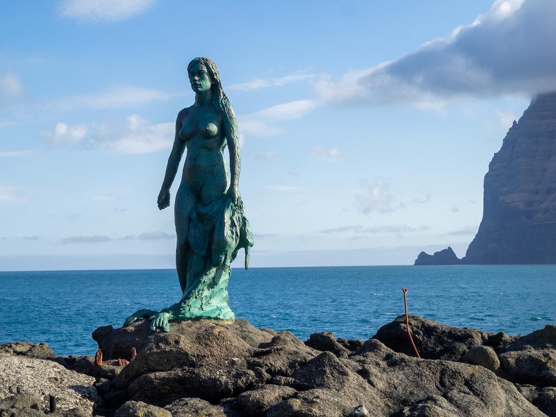
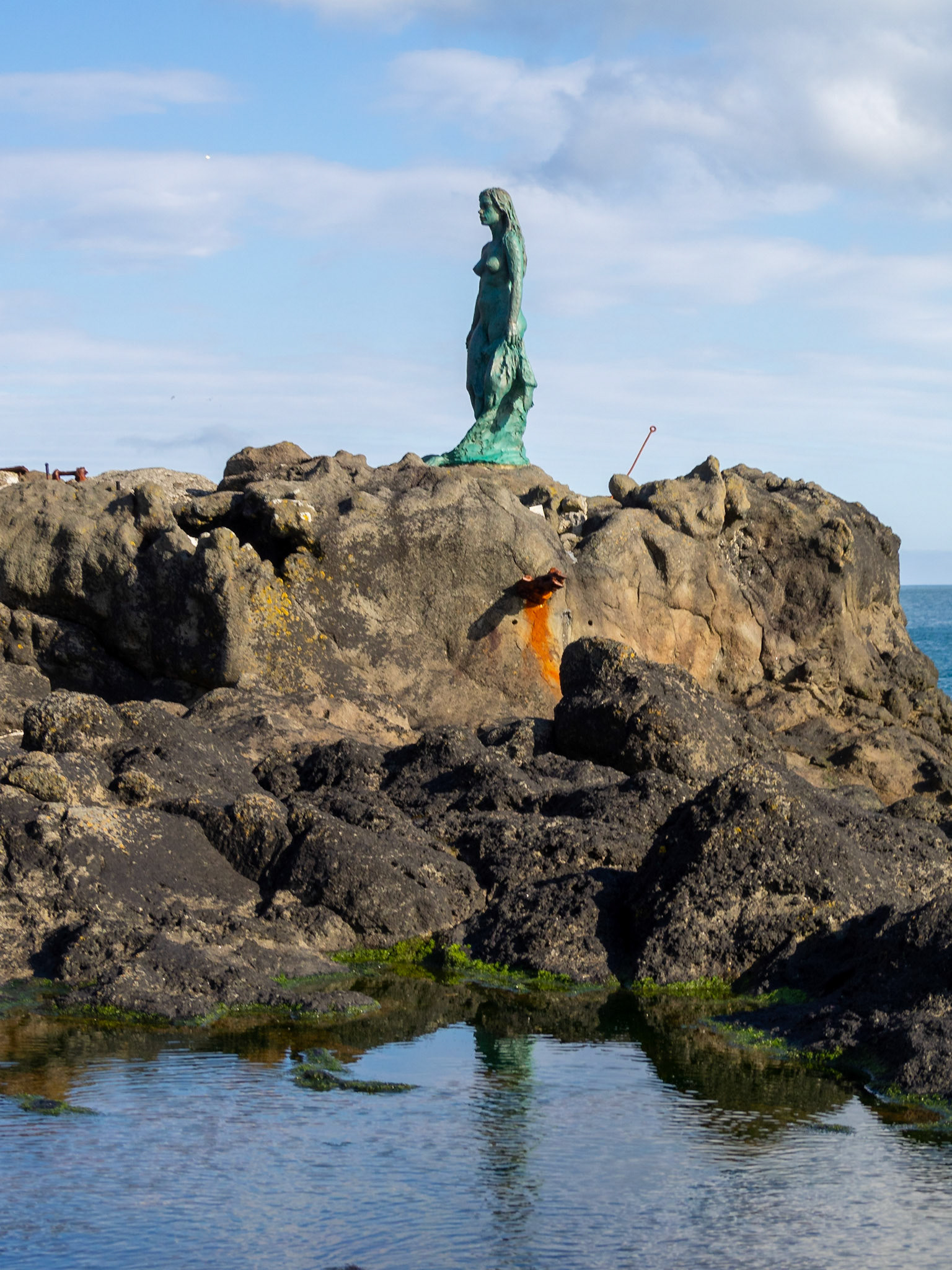
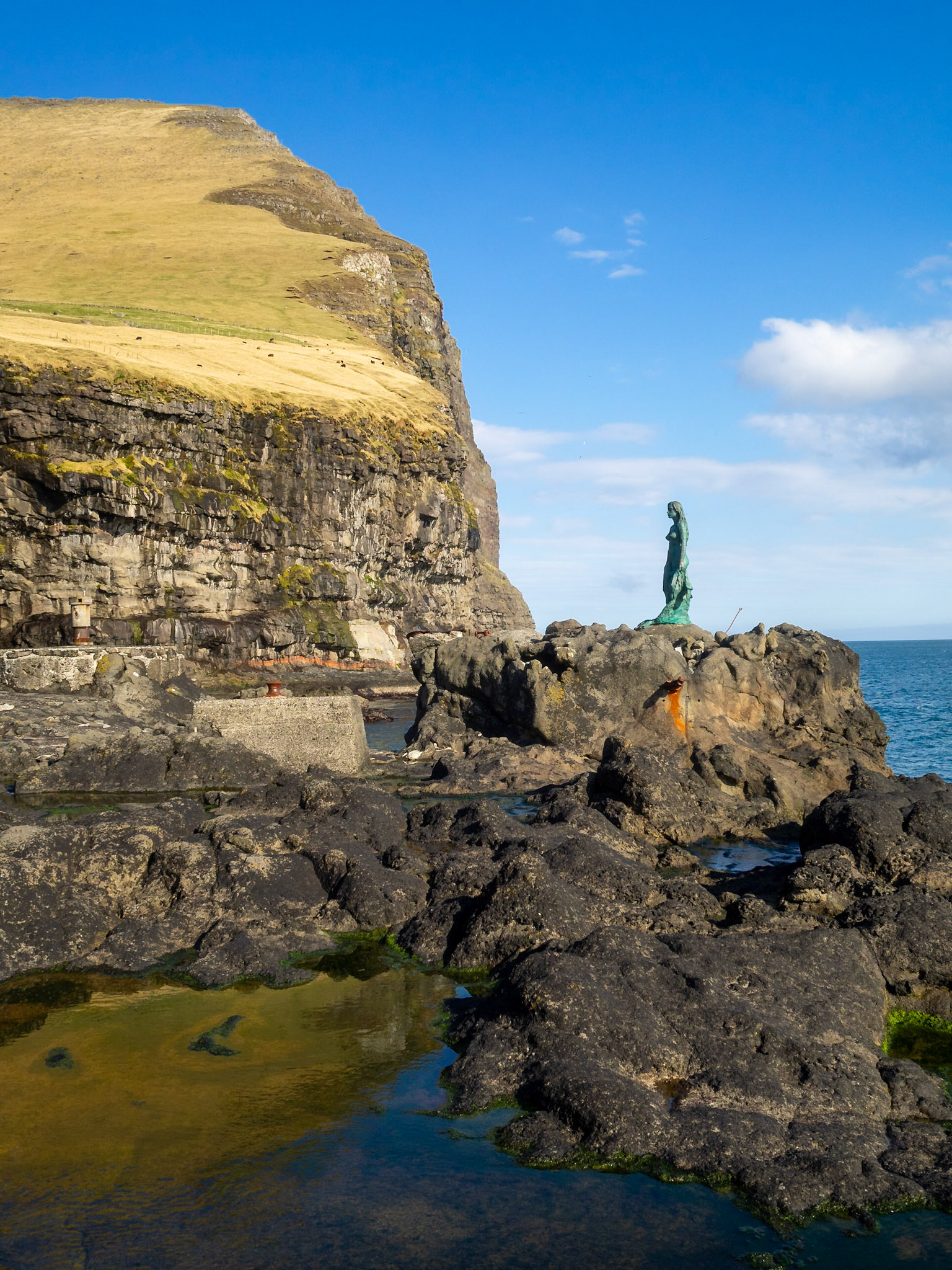
Kópakonan, the seal woman, statue over the rocks by the Kalsoyarfjørður fjord with Kynoy island in background

Kópakonan, the seal woman, statue over the rocks by the Kalsoyarfjørður fjord with Kynoy island in background

Kópakonan, the seal woman, statue over the rocks

Kópakonan, the seal woman, statue over the rocks by the cliffs of Kalsoy coastline

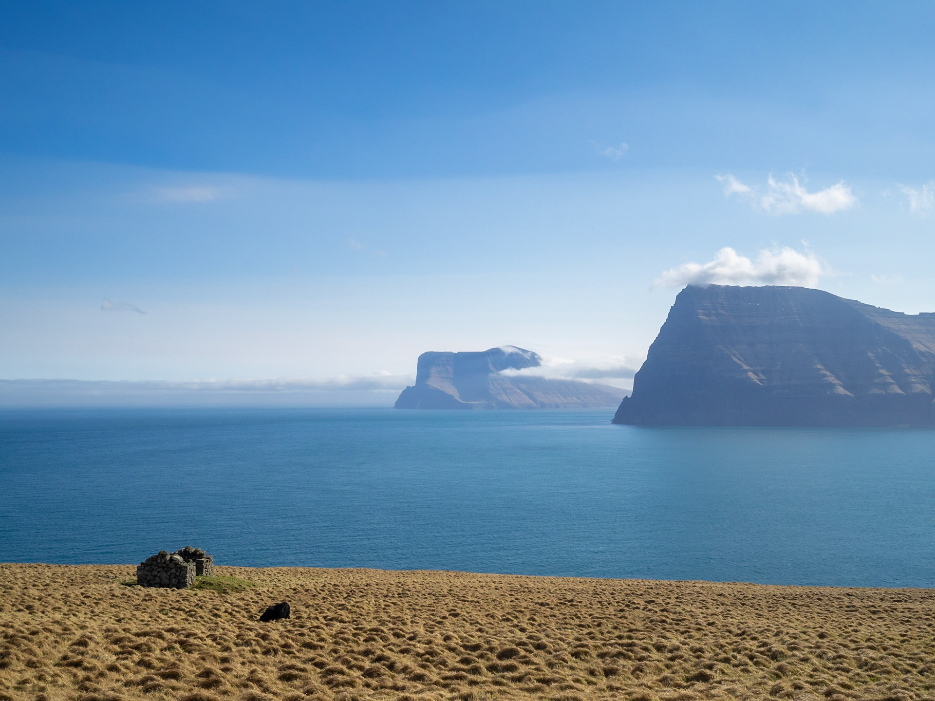
Kunoy and Vidoy north tips seen from Kalsoy Kallur lighthouse hiking path

Kallur lighthouse hiking path between the yellow grass landscape of Kalsoy

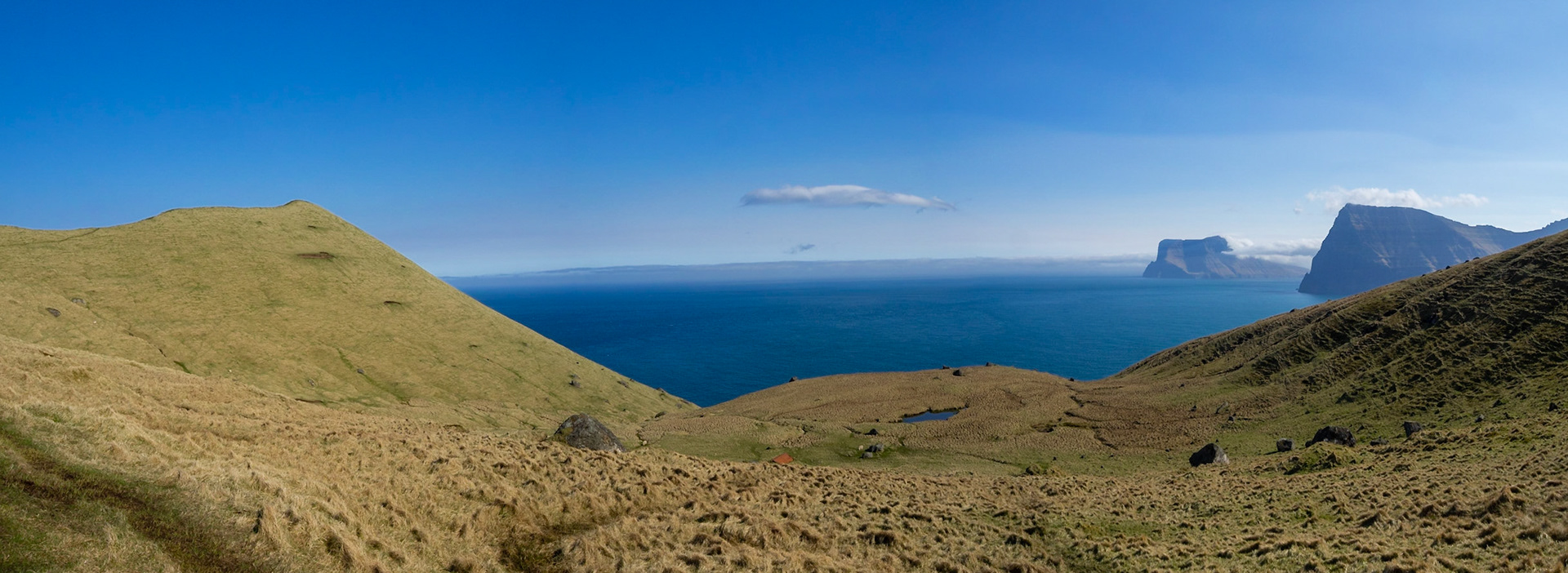
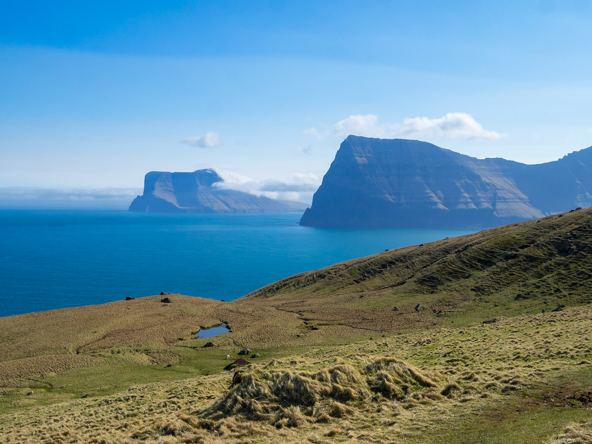
Kallur lighthouse hiking path between the yellow grass landscape of Kalsoy with Kunoy and Vidoy islands at sight

Kallur lighthouse hiking path between the yellow grass landscape of Kalsoy with Kunoy and Vidoy islands at sight

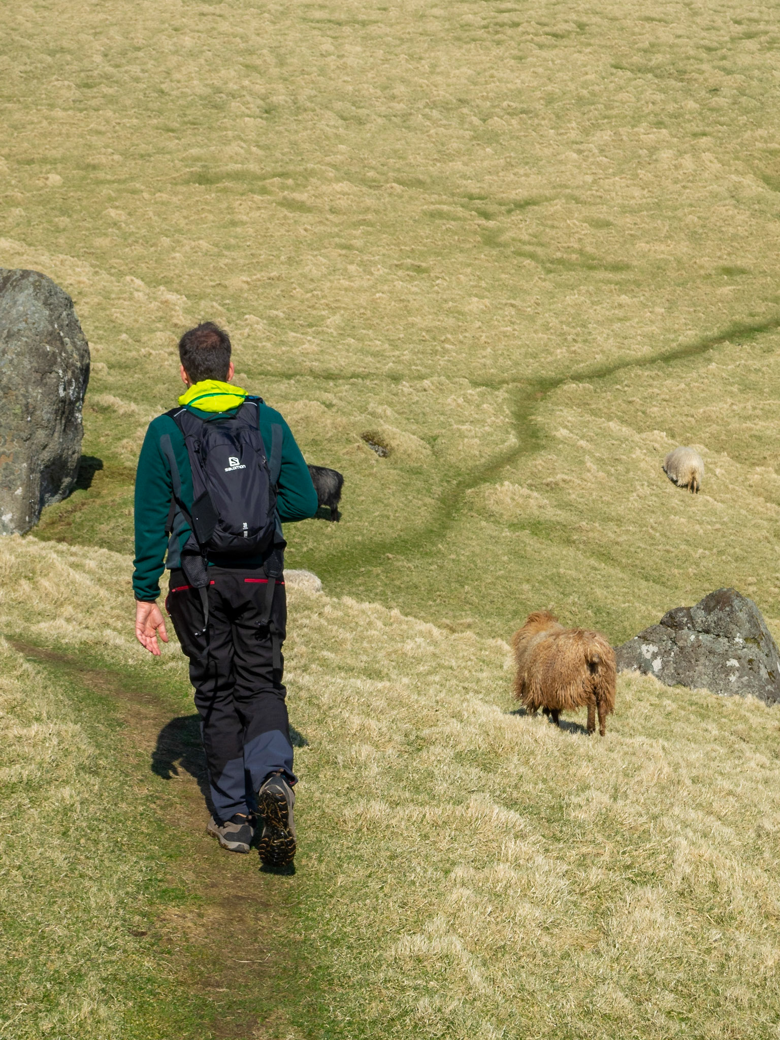
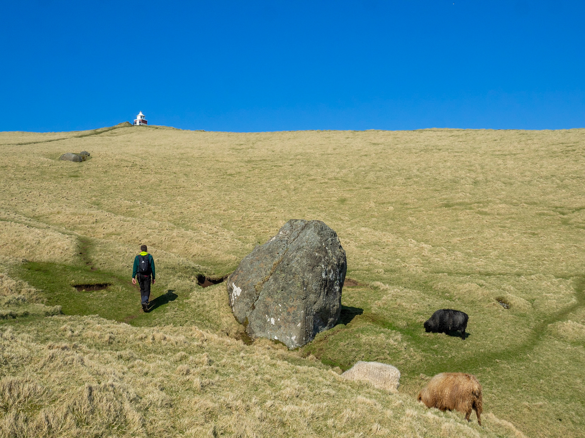
Hiking Kallur lighthouse path between sheep and yellow grass

Hiking Kallur lighthouse path between sheep and yellow grass

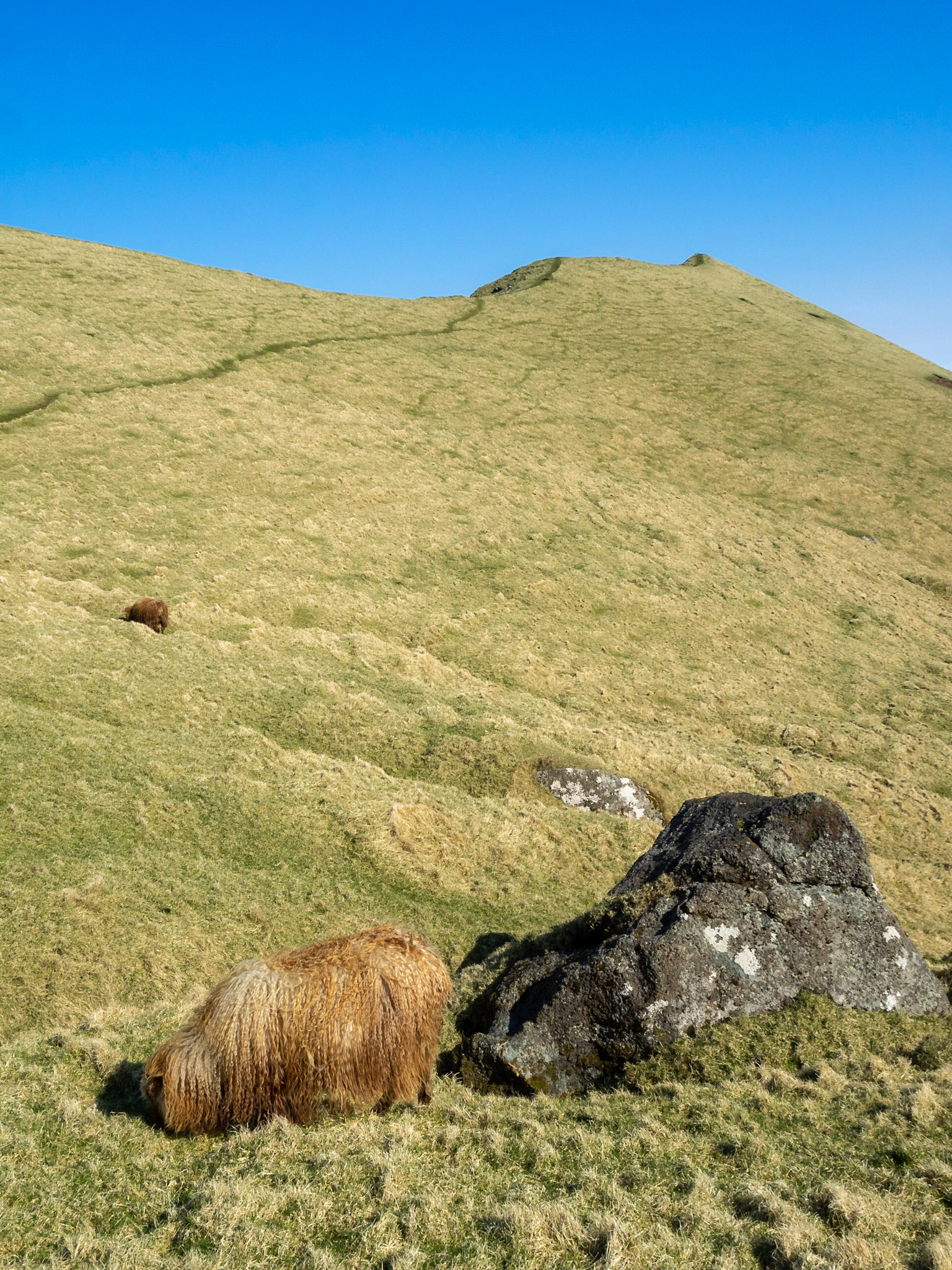
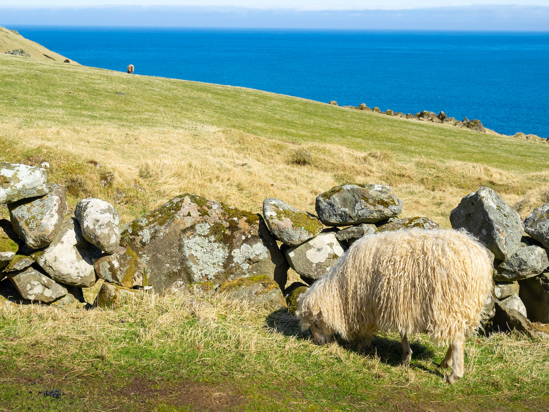
A sheep grazing by Kallur lighthouse hiking path

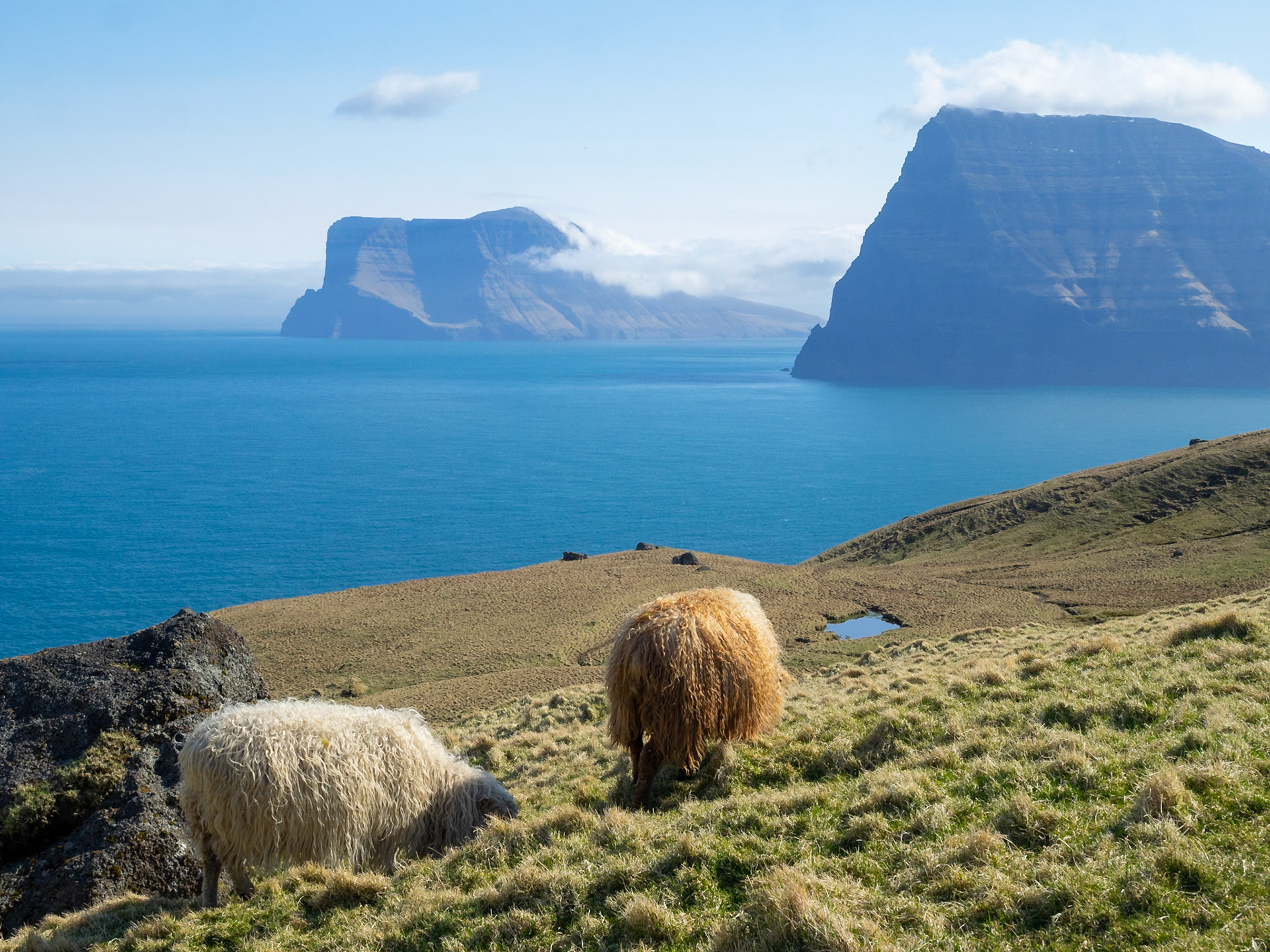
Sheep grazing by Kallur lighthouse hiking path with Kunoy and Vidoy islands in background

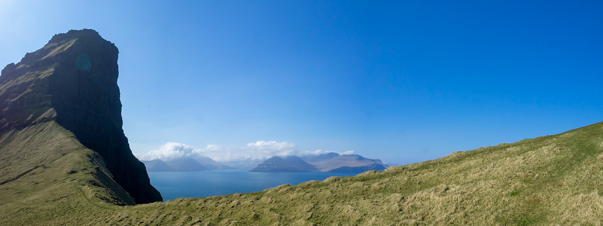
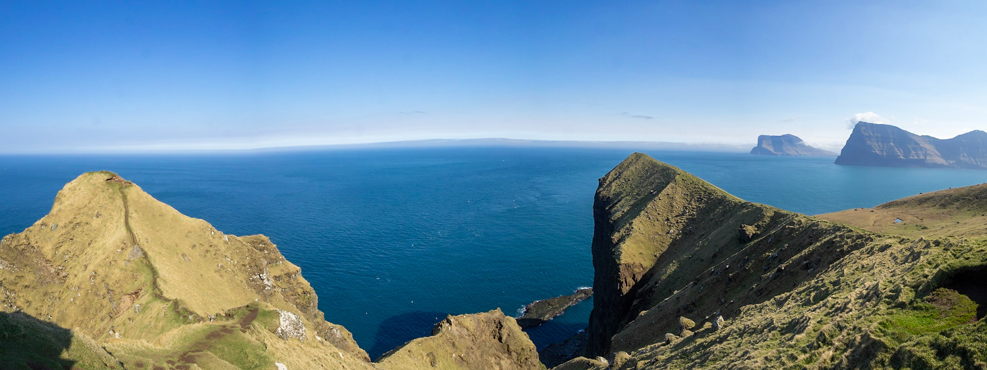
Panorama of Kallur lighthouse hiking path by the cliffs edge, in north Kalsoy, with Eysturoy island in the horizon

Kallur lighthouse hiking path by the cliffs of north Kalsoy, with Kunoy and Vidoy islands at sight

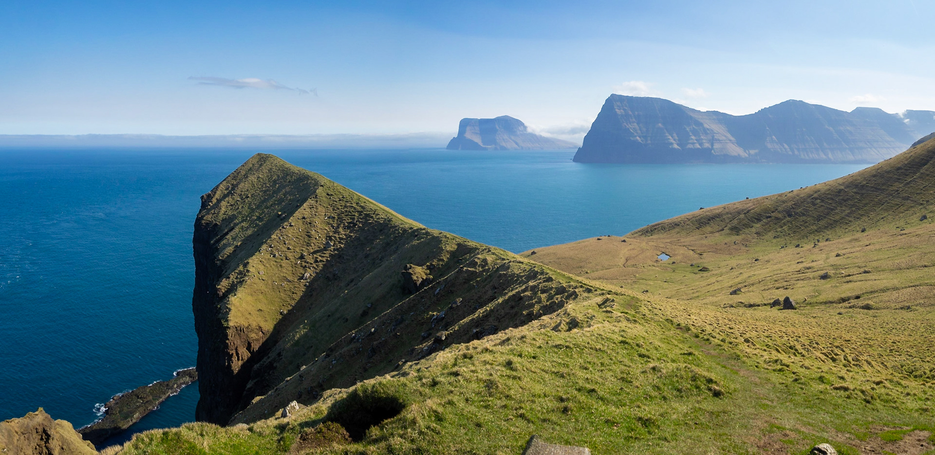
Eysturoy island and Gjogv hamlet in the horizon, seen from Kalsoy Kallur lighthouse hiking path

Taking pictures at the end of Kallur lighthouse hiking path in north Kalsoy island

Kallur lighthouse hiking path by the cliffs edge of north Kalsoy, with Kunoy and Vidoy islands at sight

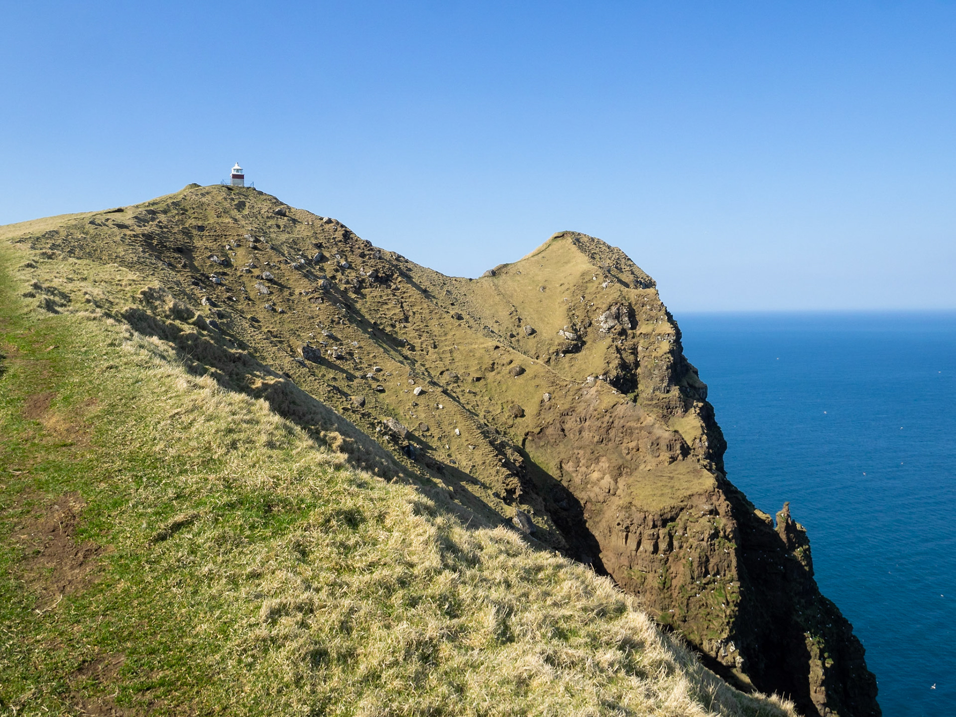
Kallur lighthouse at the end of the hiking path, by the cliffs edge of north Kalsoy

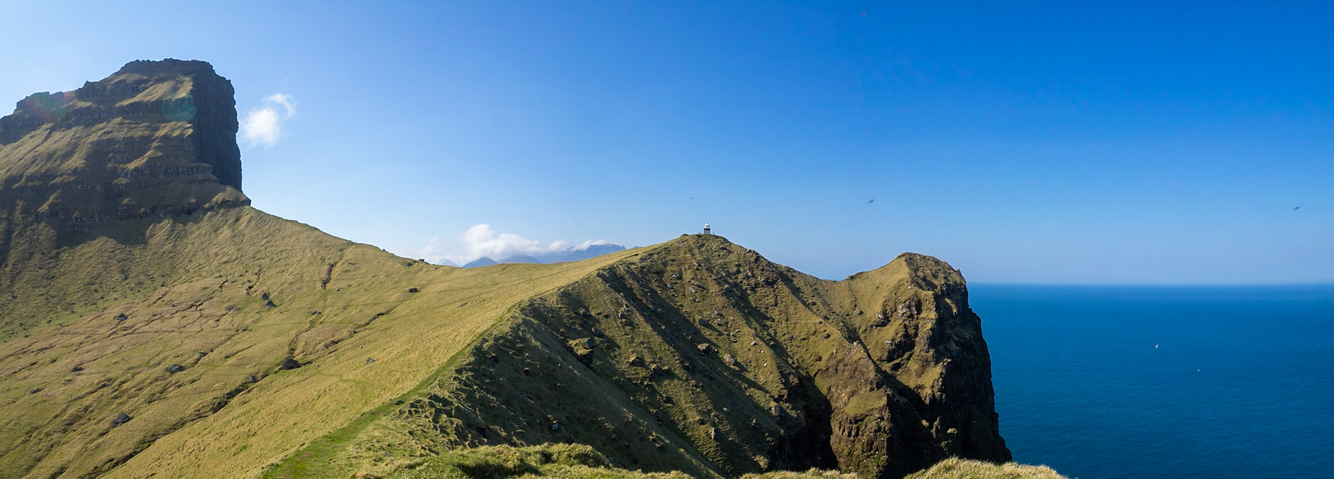
Panorama of Kallur lighthouse at the end of the hiking path, by the cliffs edge of north Kalsoy

Panorama of Eysturoy seen from north Kalsoy

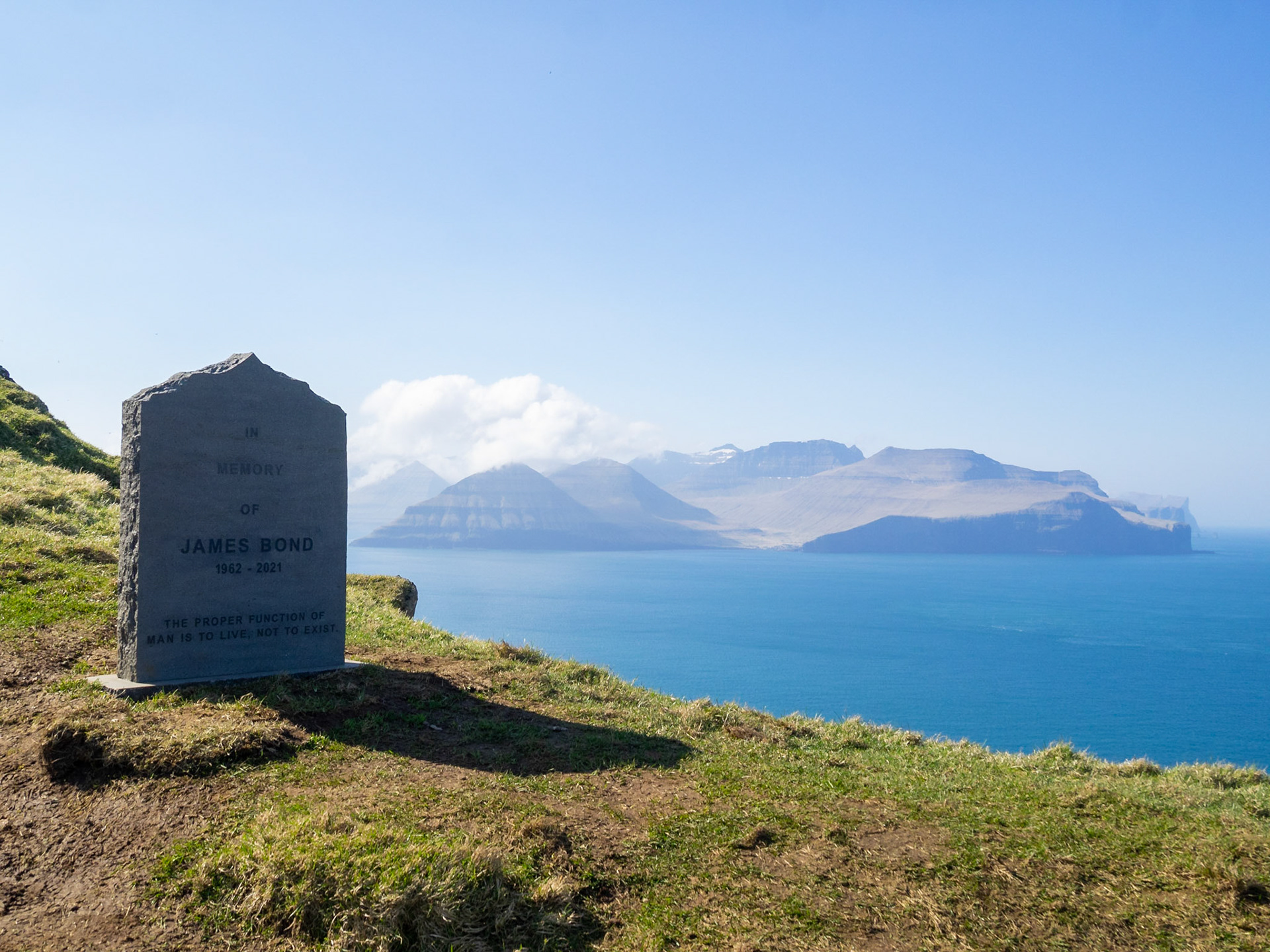
James Bon grave stone by the cliffs edge in Kalsoy island with Eysturoy in background

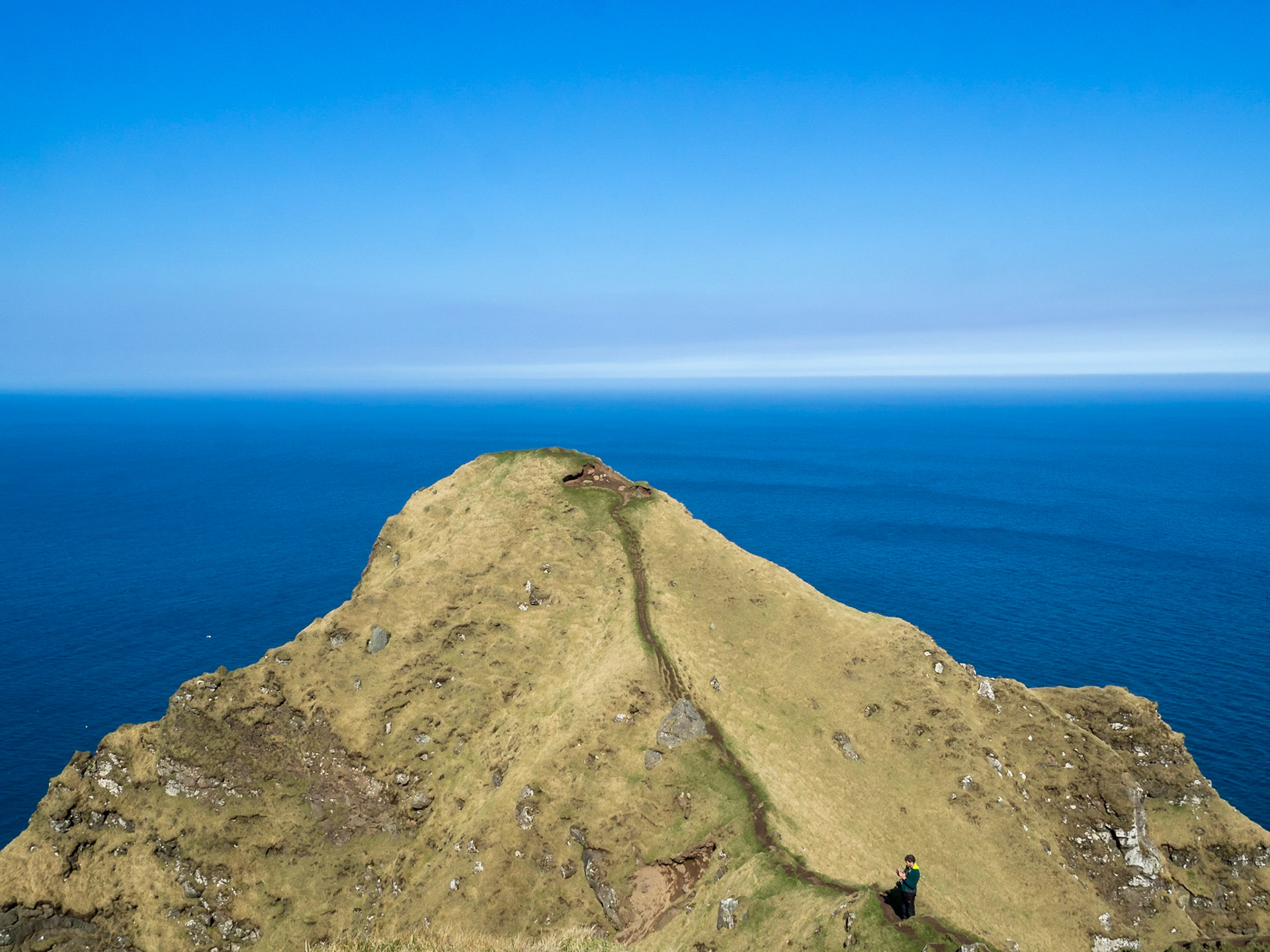
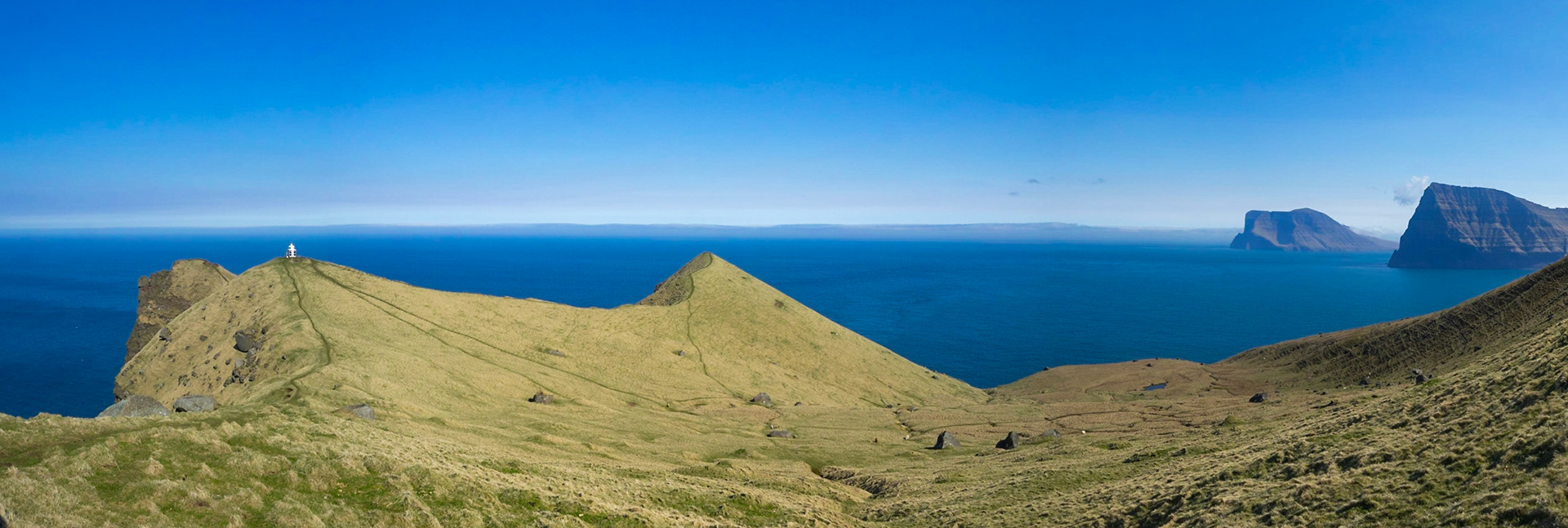
The hikking path by the cliffs edge leading to Kallur lighthouse, in north Kalsoy, with Kunoy and Vidoy islands in the horizon

Hikking the mountain slop in north Kalsoy with Kunoy and Vidoy islands in the horizon

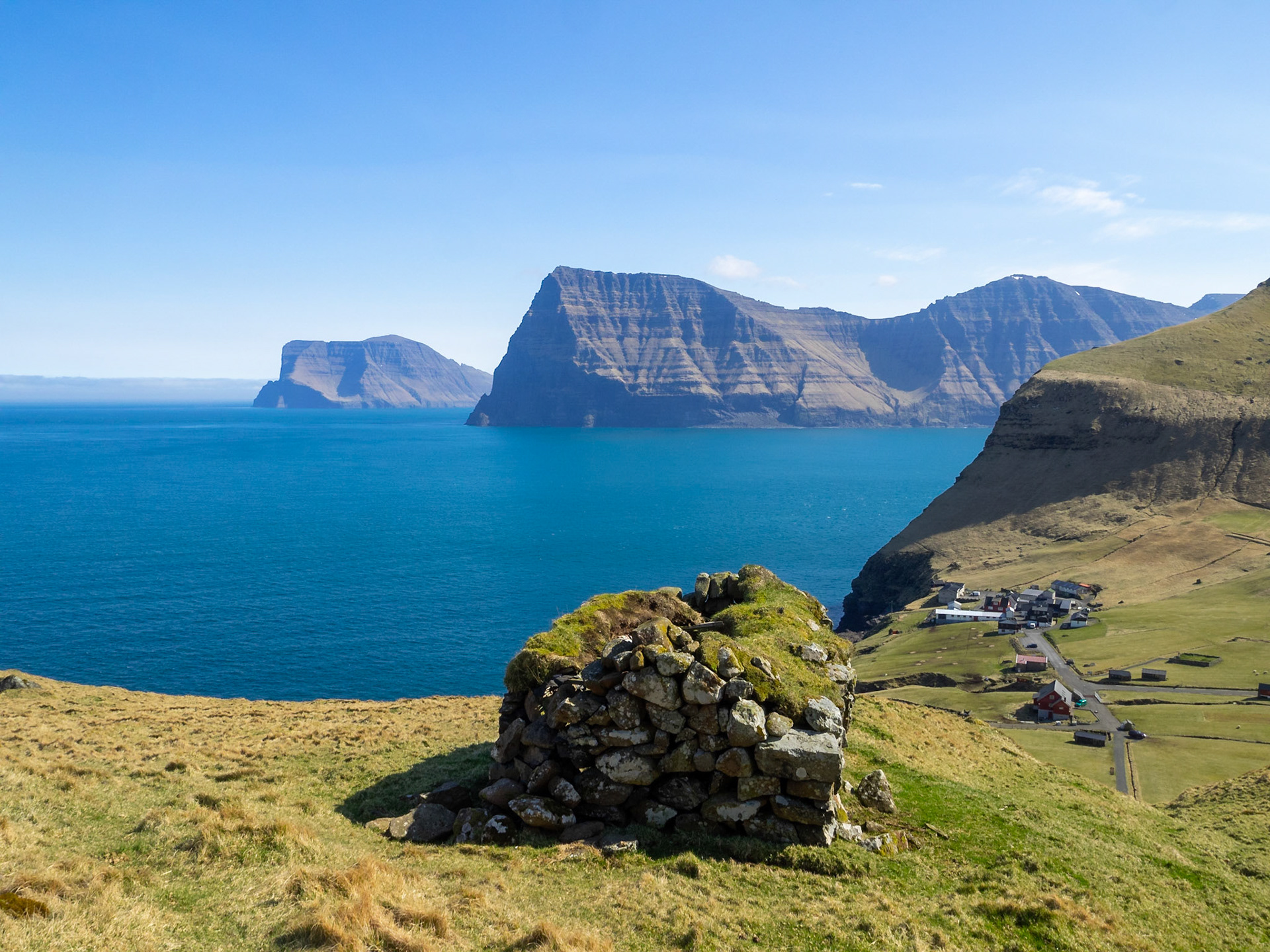
An old stone house with turf roof, in north Kalsoy, with Kalsoy and Vidoy islands in background

A sheep grazing in north Kalsoy

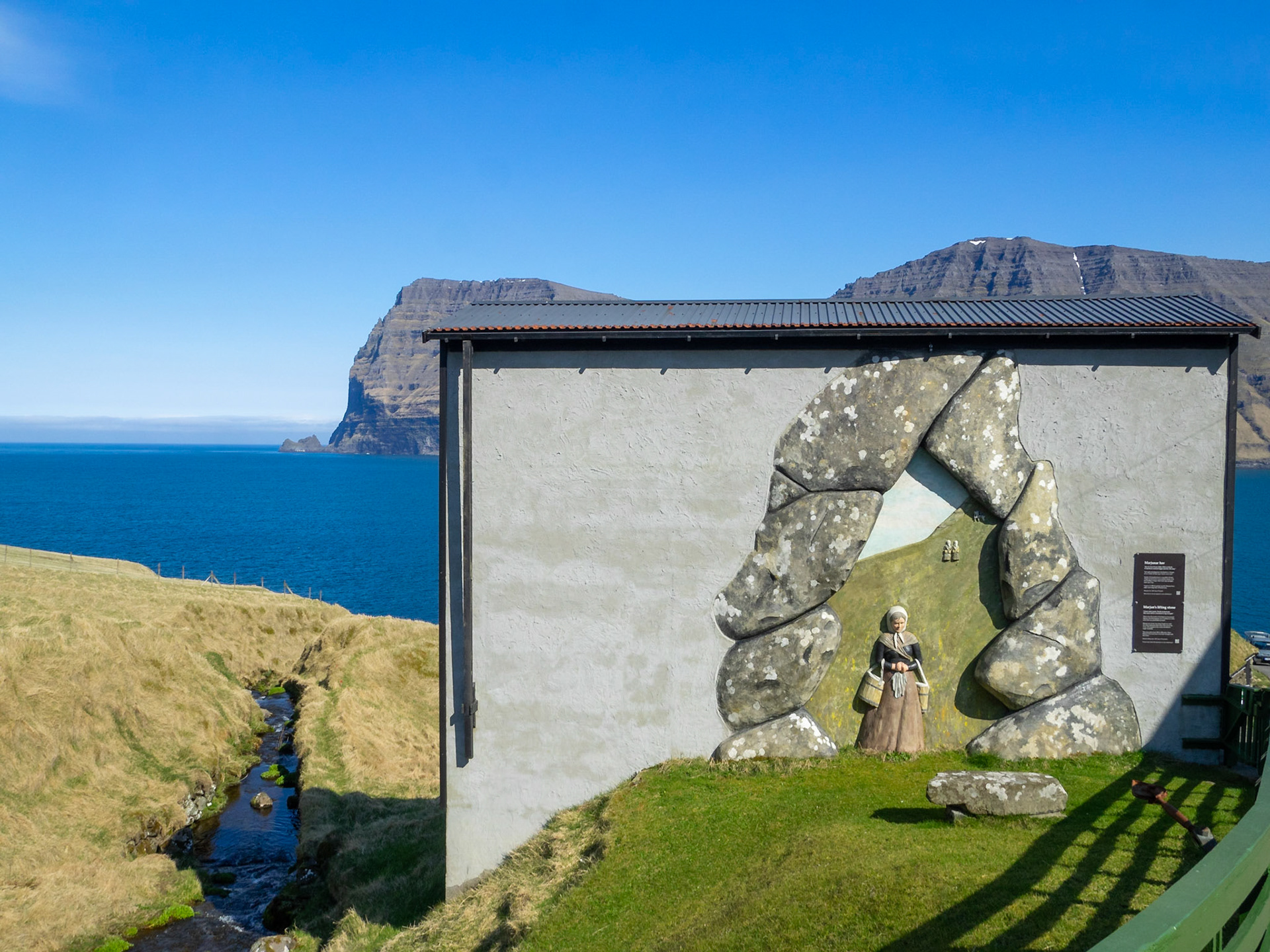
Marjan's lifting stone mural, Mikladalur

Kalsoyarfjørður and Kunoy island in a sunny day

A sheep in the roadside in Kalsoy, with Kunoyar across Kalsoyarfjørður fjord

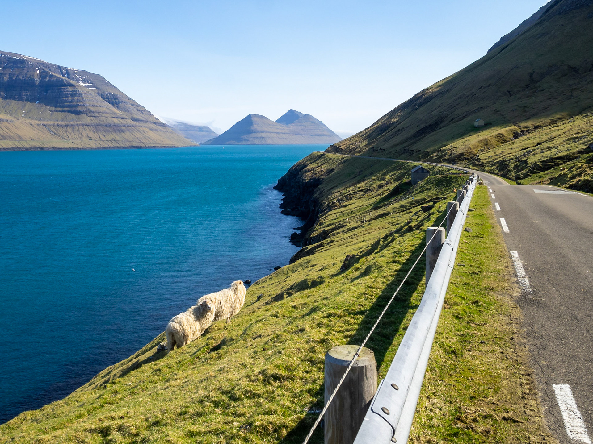
Kalsoy road by Kalsoyarfjørður fjord with sheep by the sea

Kalsoyarfjørður fjord between Kalsoy and Kunoy islands

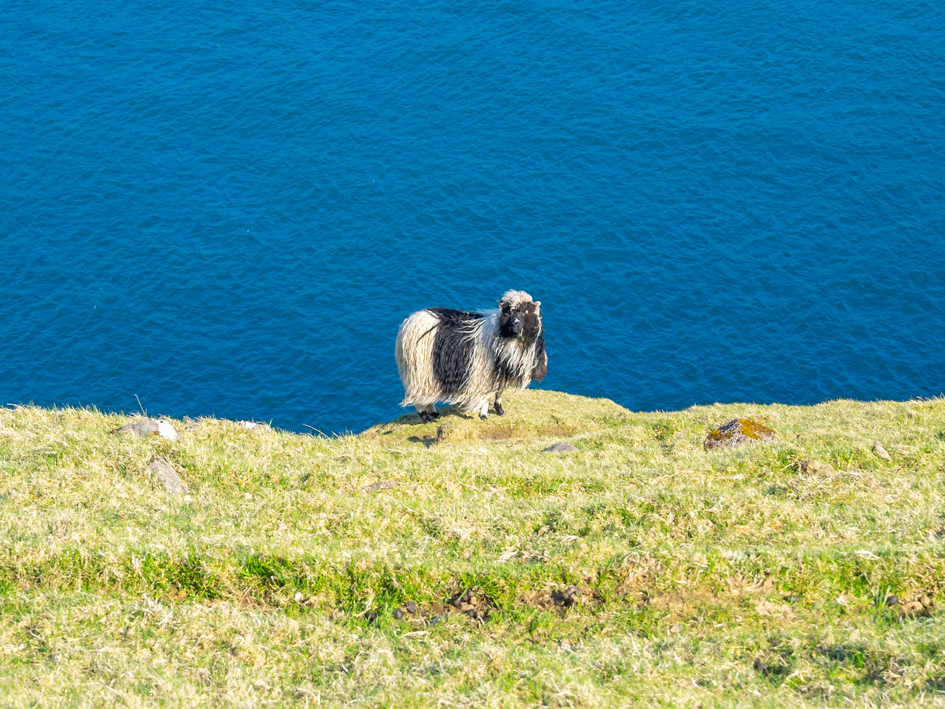
Stripped black and white sheep by the deep blue water

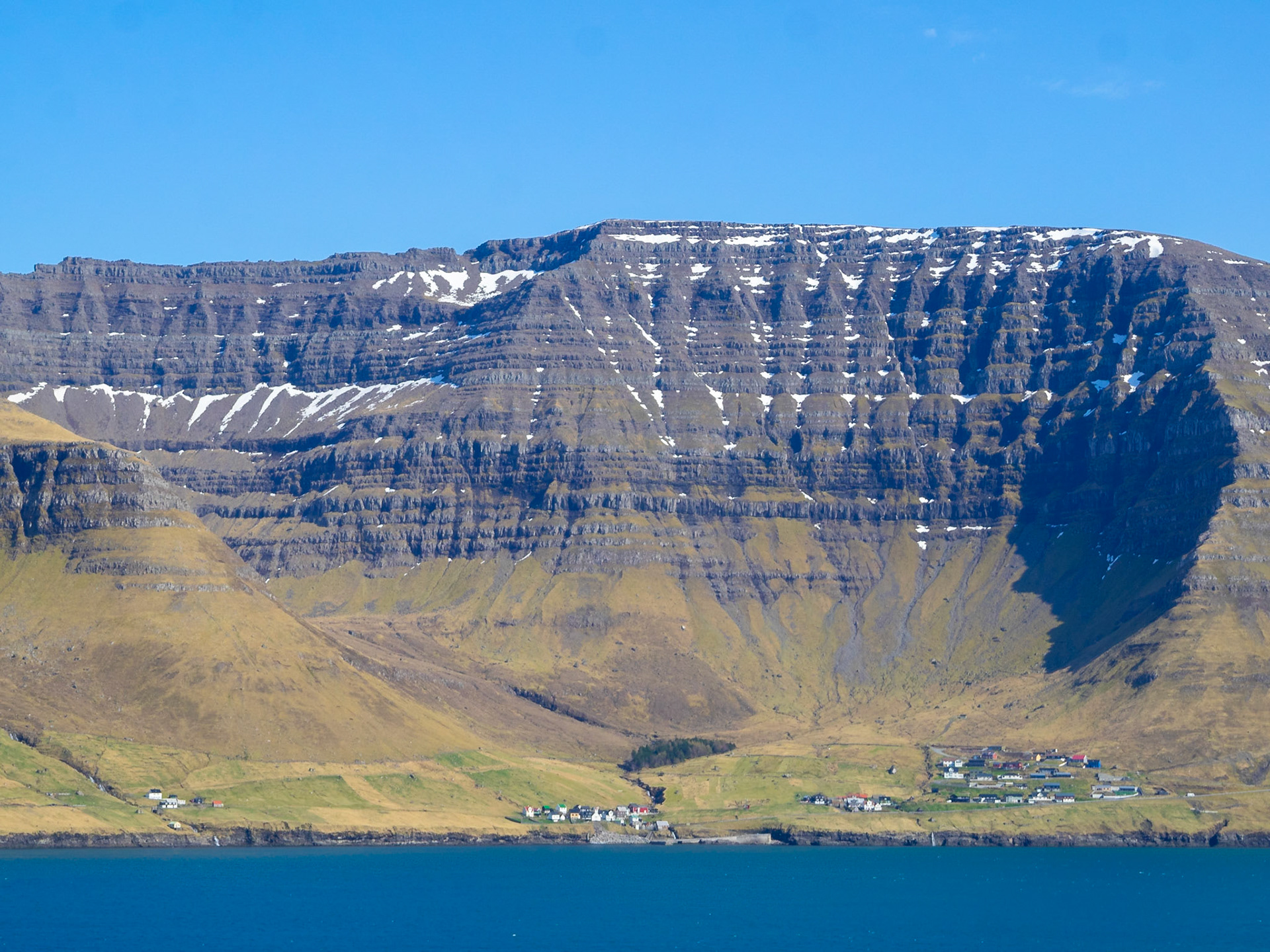
Kunoyar across Kalsoyarfjørður fjord

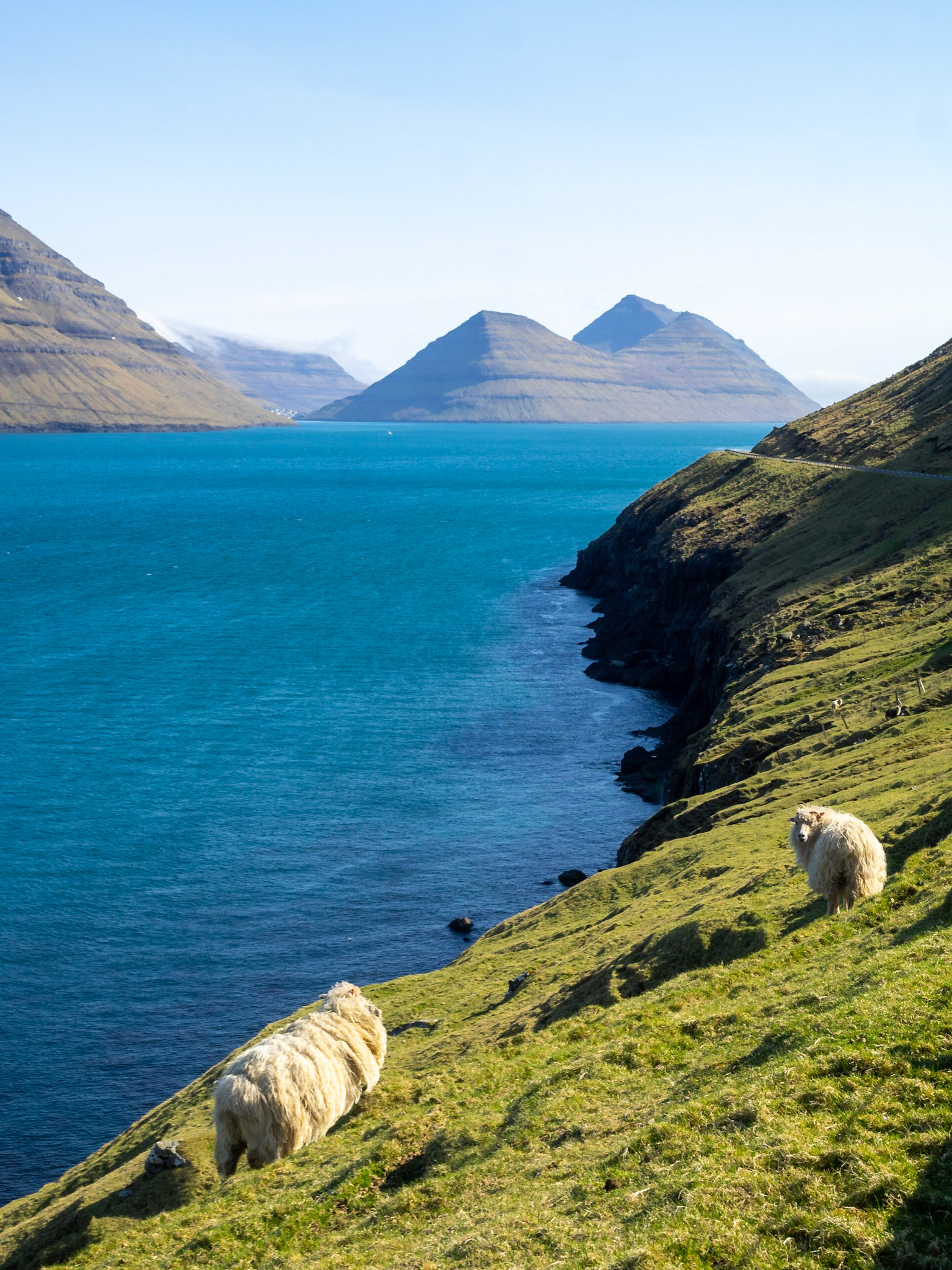
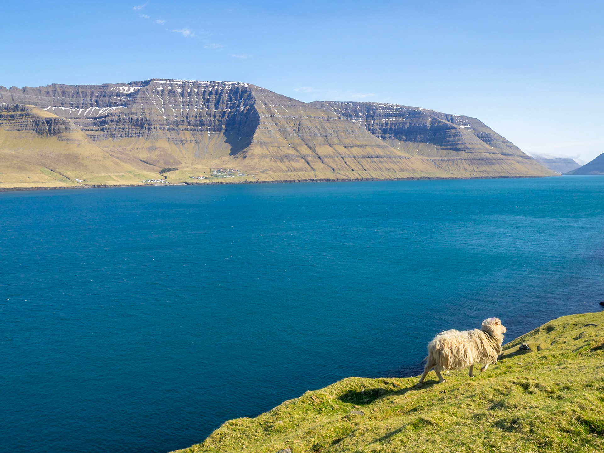
A sheep walks by Kalsoyarfjørður fjord in Kalsoy

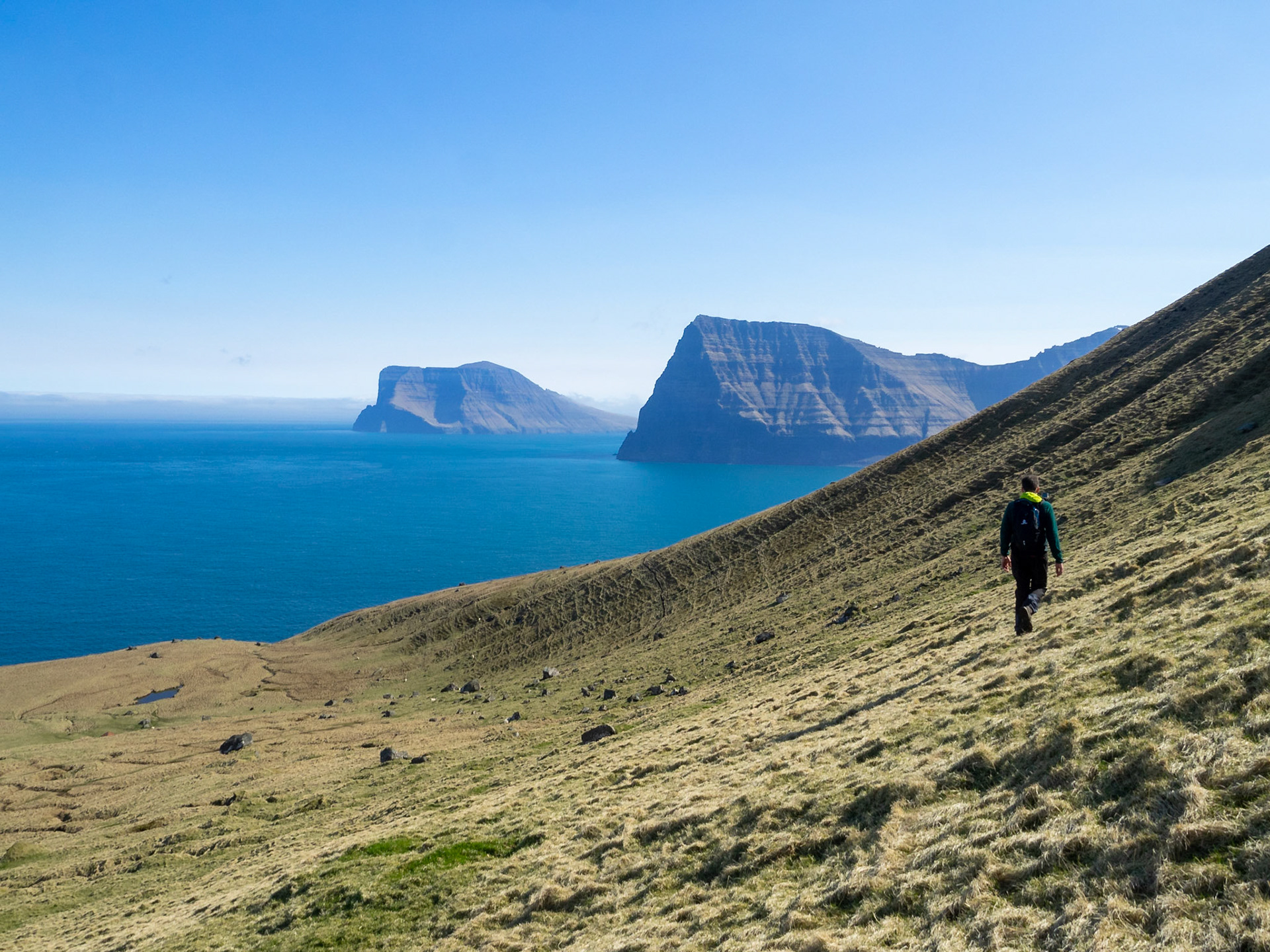
Kunoy island panorama across Kalsoyarfjørður fjord from Kalsoy

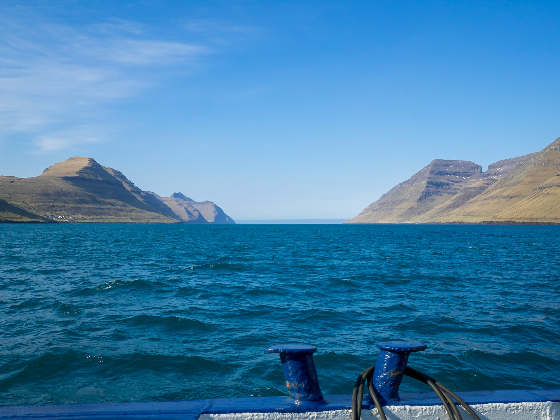
Kalsoyarfjørður fjord seen from the ferrie

Entry to Haraldssund strait, between Kunoy and Bordoy islands

Fugloy and Svínoy islands seen from east Vidoy

Viðoy island landscape

Vidareidi general view

Bordoy and Kunoy islands seen from Vidoy

Sheep grazing in the fields by Vidareidi

West Vidoy road by the coastline

North Vidoy sea front

Panorama of north Vidoy coastline

North Vidoy coastline in the sun below low clouds

Houses below the low clouds and over the coastline on north Vidoy

Burdoy and Kunoy silhouettes seen across the sea from Vidareidi graveyard

Vidareidi church

Hvannasund

Árnafjarðar below Tólvmarkaknúkur mountain

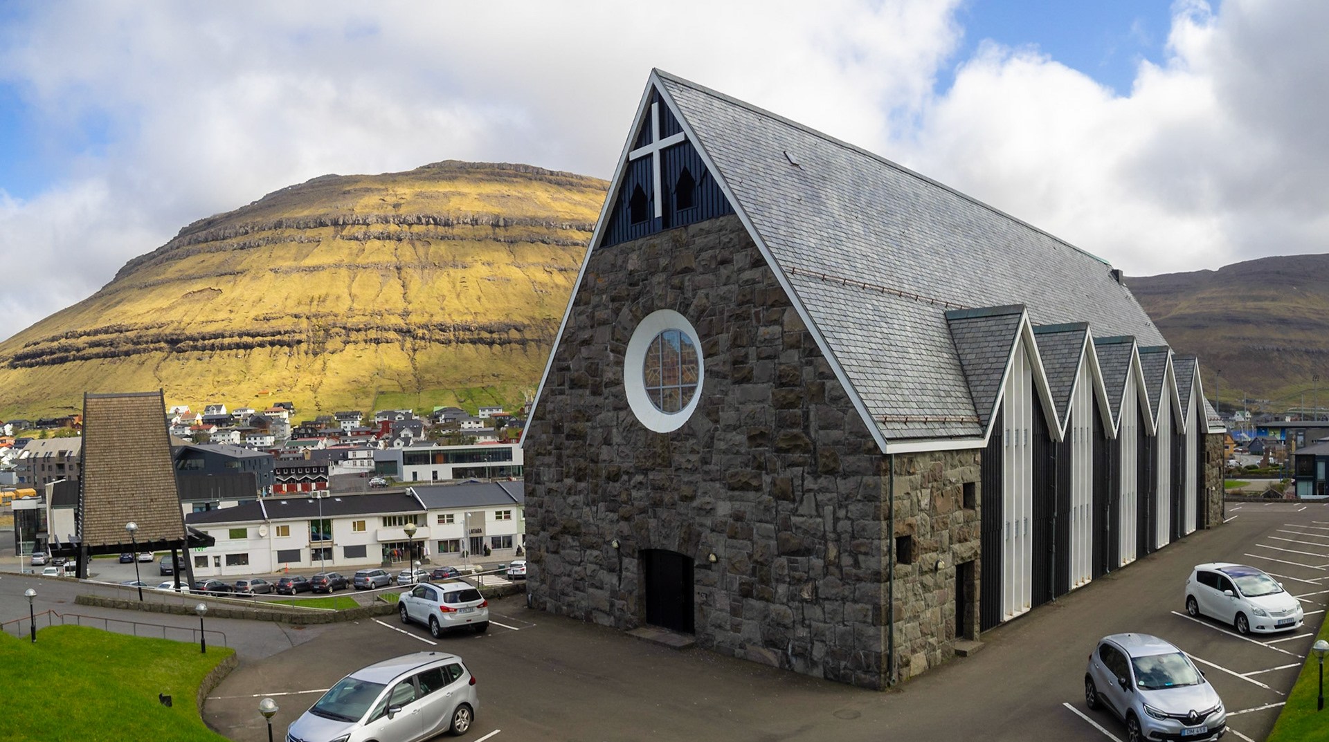
Klaksvík church building

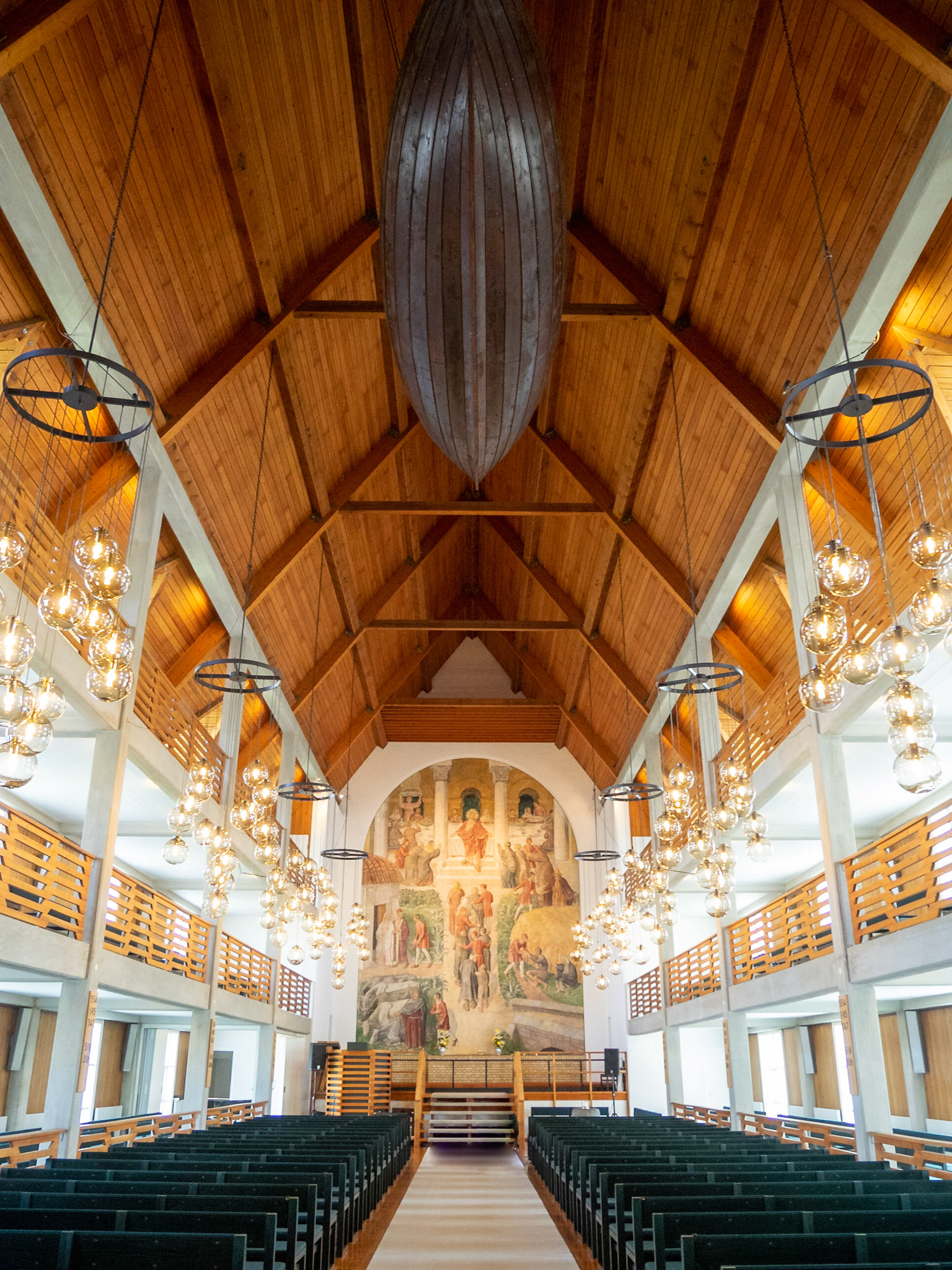
Klaksvík church interior, with traditional whaling boat hanging in the ceiling

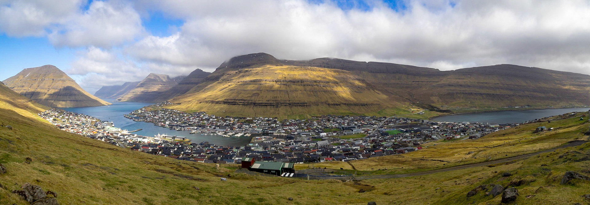
Panorama of Klaksvík below Kjølur mountain and by the fjord, seen from Klakkur

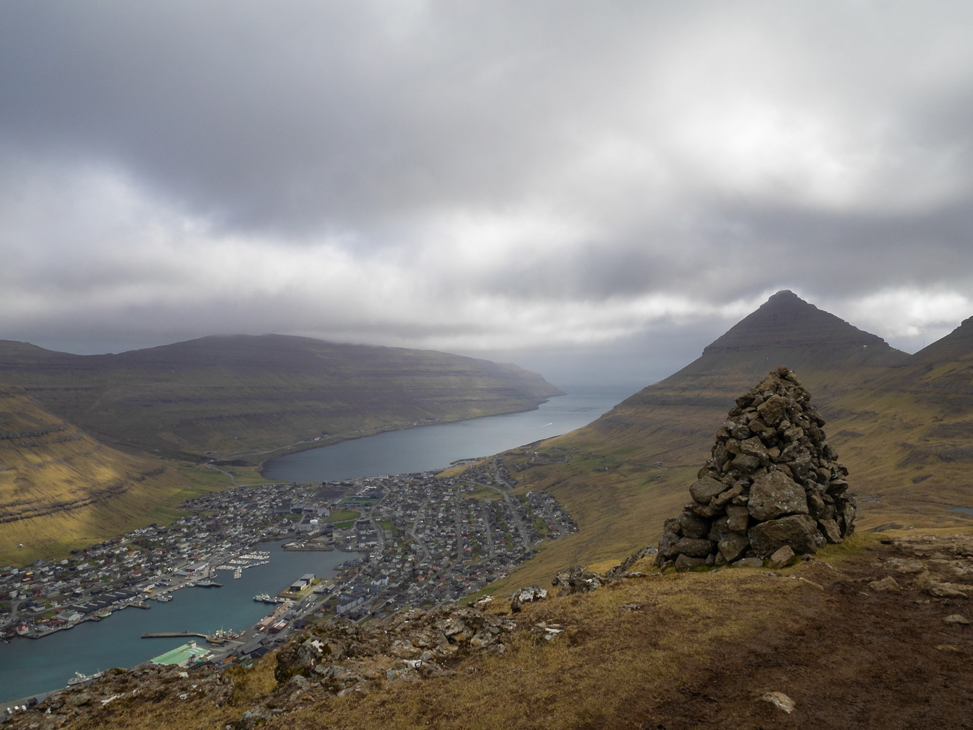
A cairn on top of Klakkur mountain hiking path, with Klaksvik below in the horizon

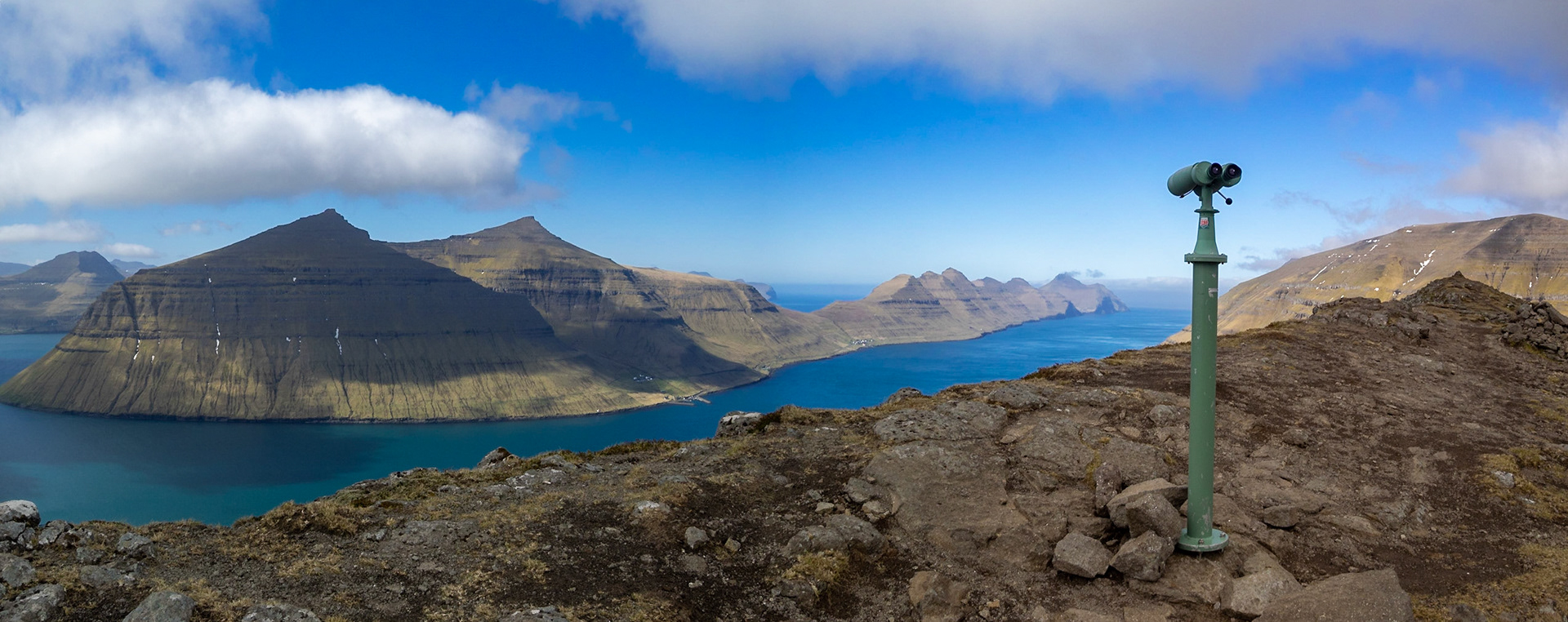
Kalsoyarfjørður and Leirvíksfjørður joining at the southern tip of Kalsoy island, view from Klakkur mountain top

Kalsoy, and the fjord, panorama seen from the Klakkur mountain hiking path

Klaksvík sitting between the two sea inlets seen from Klakkur mountain top hiking path

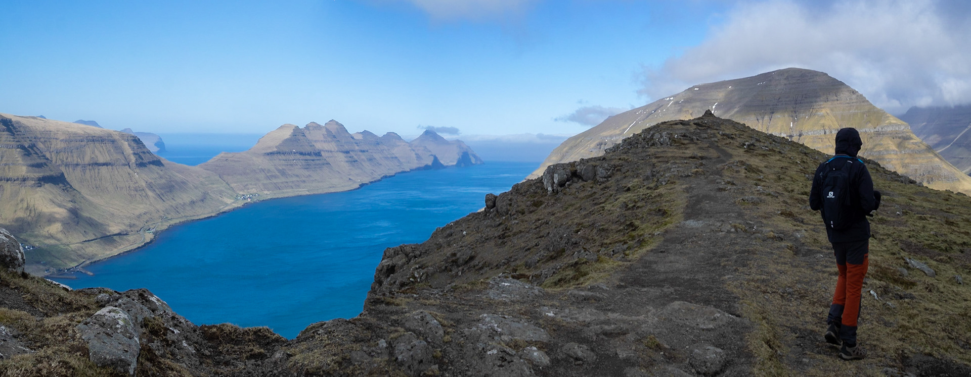
A man trekking in Klakkur mountain with Kalsoy and Kalsoyarfjørður on the horizon

Ólavskirkjan church by Roykstovan farmhouse, and Magnus Cathedral ruins in background, Kirkjubøur

12th Century Ólavskirkjan church and graveyard, the oldest church in use in the Faroe Islands, Kirkjubøur

Kirkjubøur 12th Century Ólavskirkjan church

Roykstovan farmhouse dating from the 11th Century, Kirkjubøur

Roykstovan farmhouse tared timber façade, Kirkjubøur

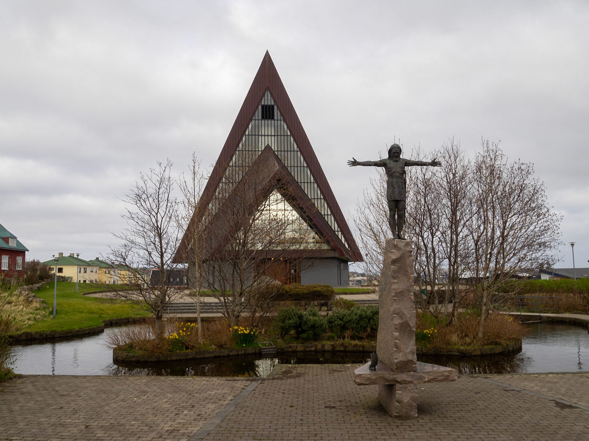
Vesturkirkjan façade and Christ sculpture by Hans Pauli Olsen

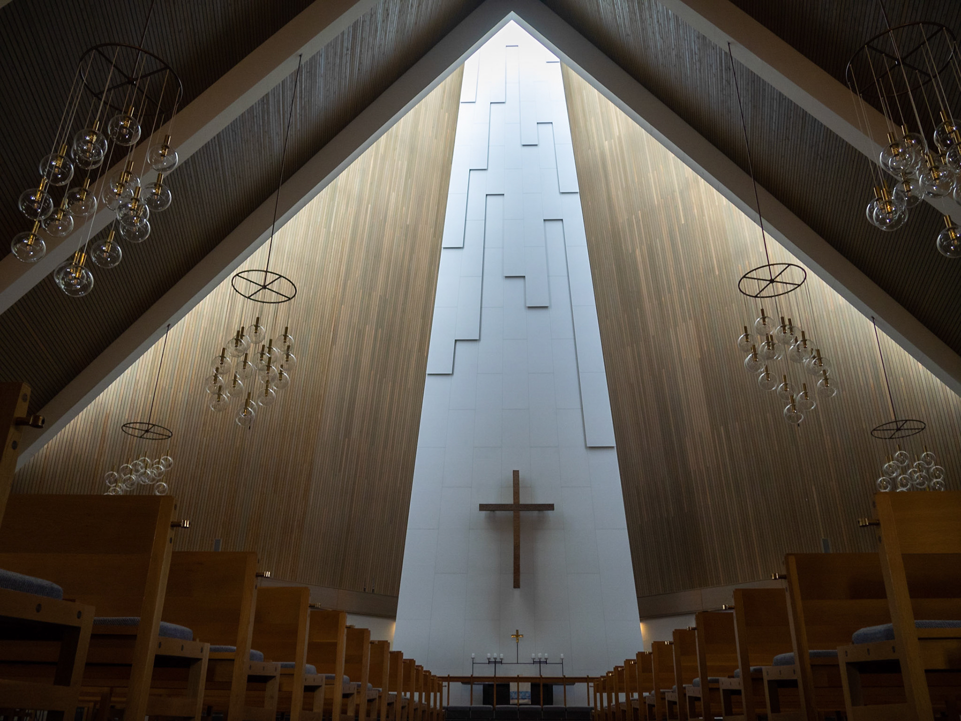
Vesturkirkjan church altar illuminated by the outside light

Tinganes peninsula and Tórshavn marina panorama

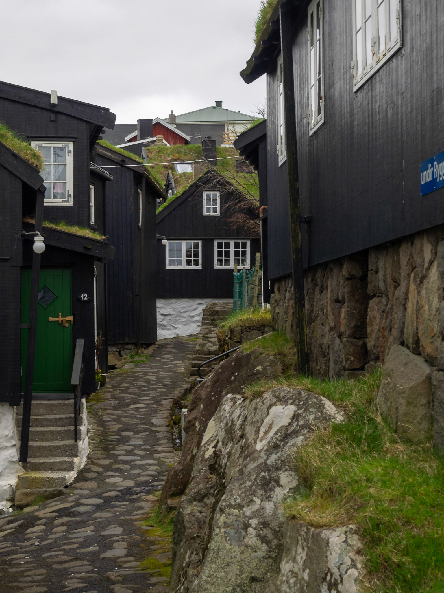
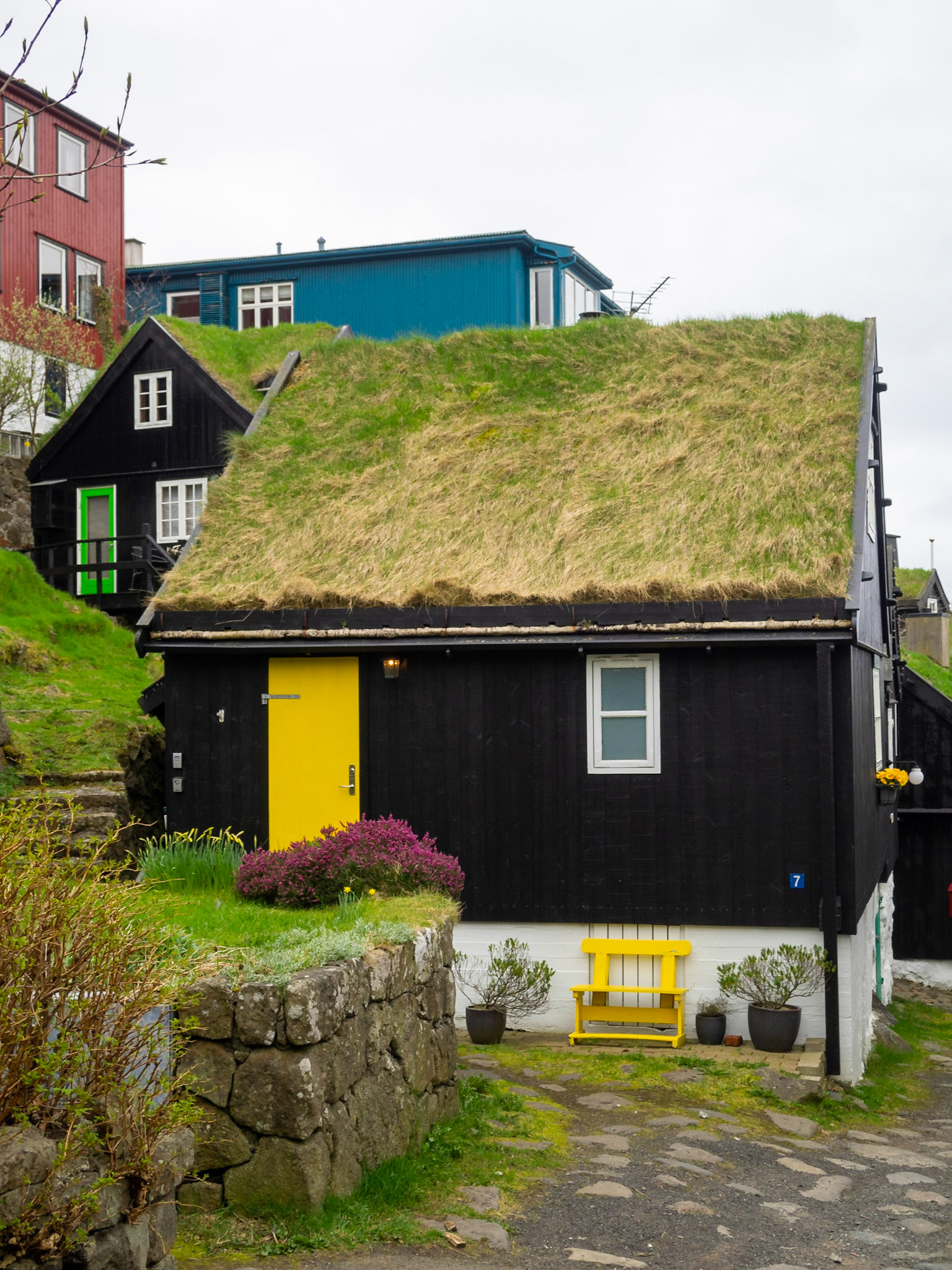
Old Tórshavn cobbled street and black wooden turf roofed houses

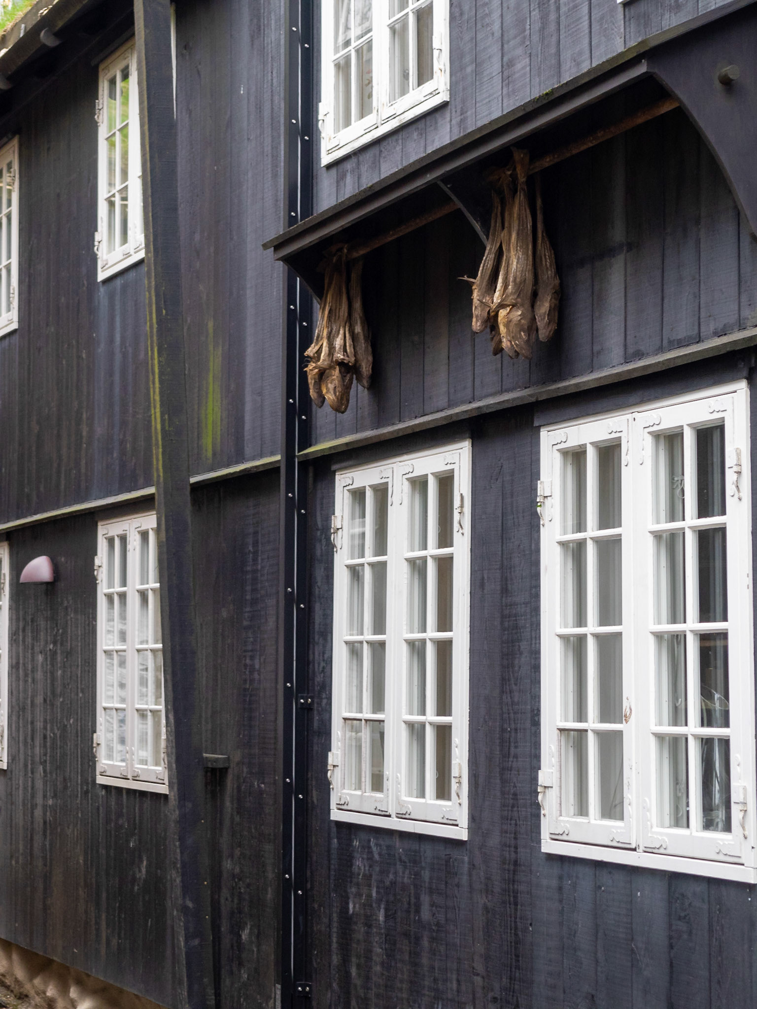
Drying fish outside in old Tórshavn

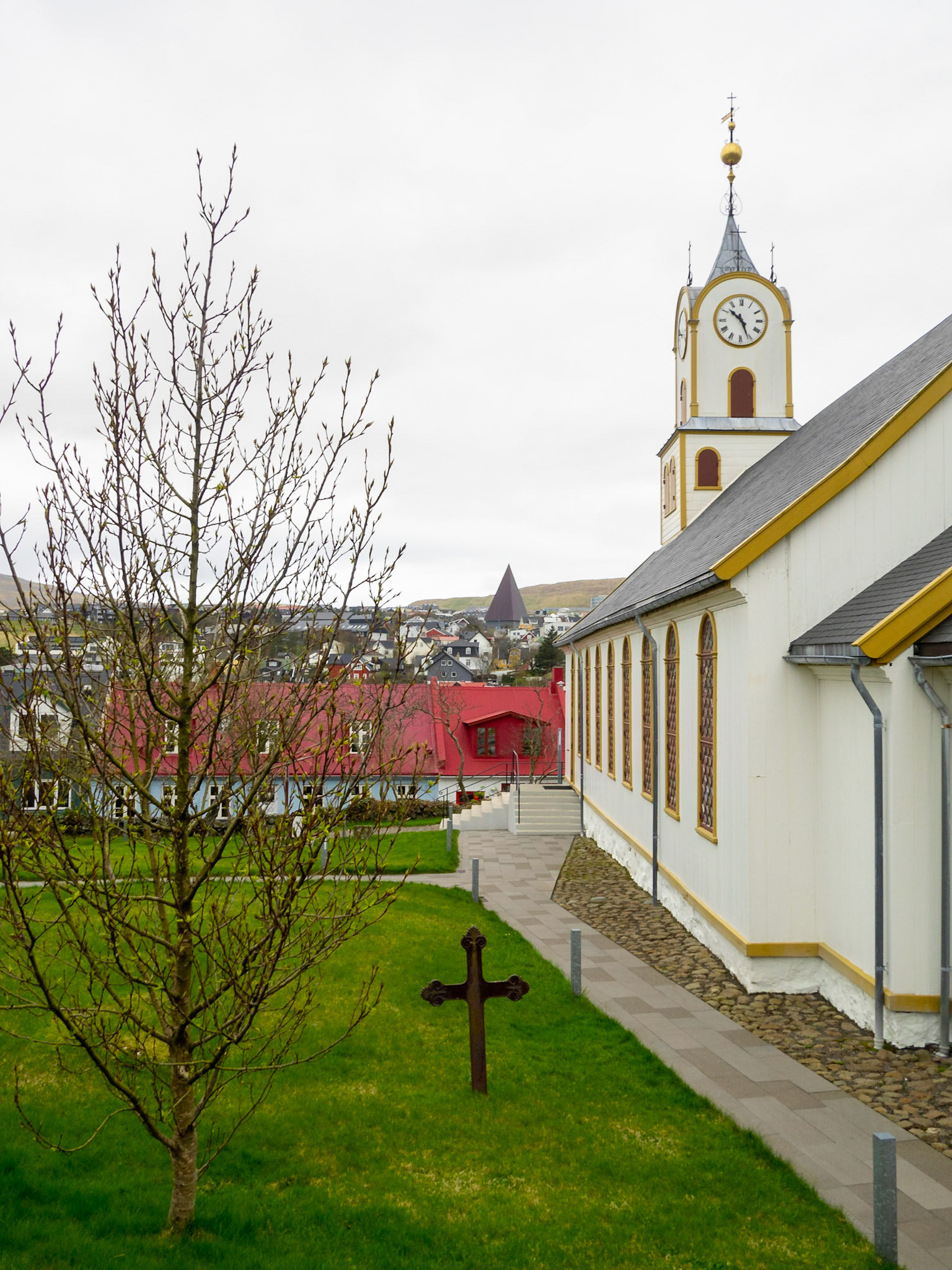
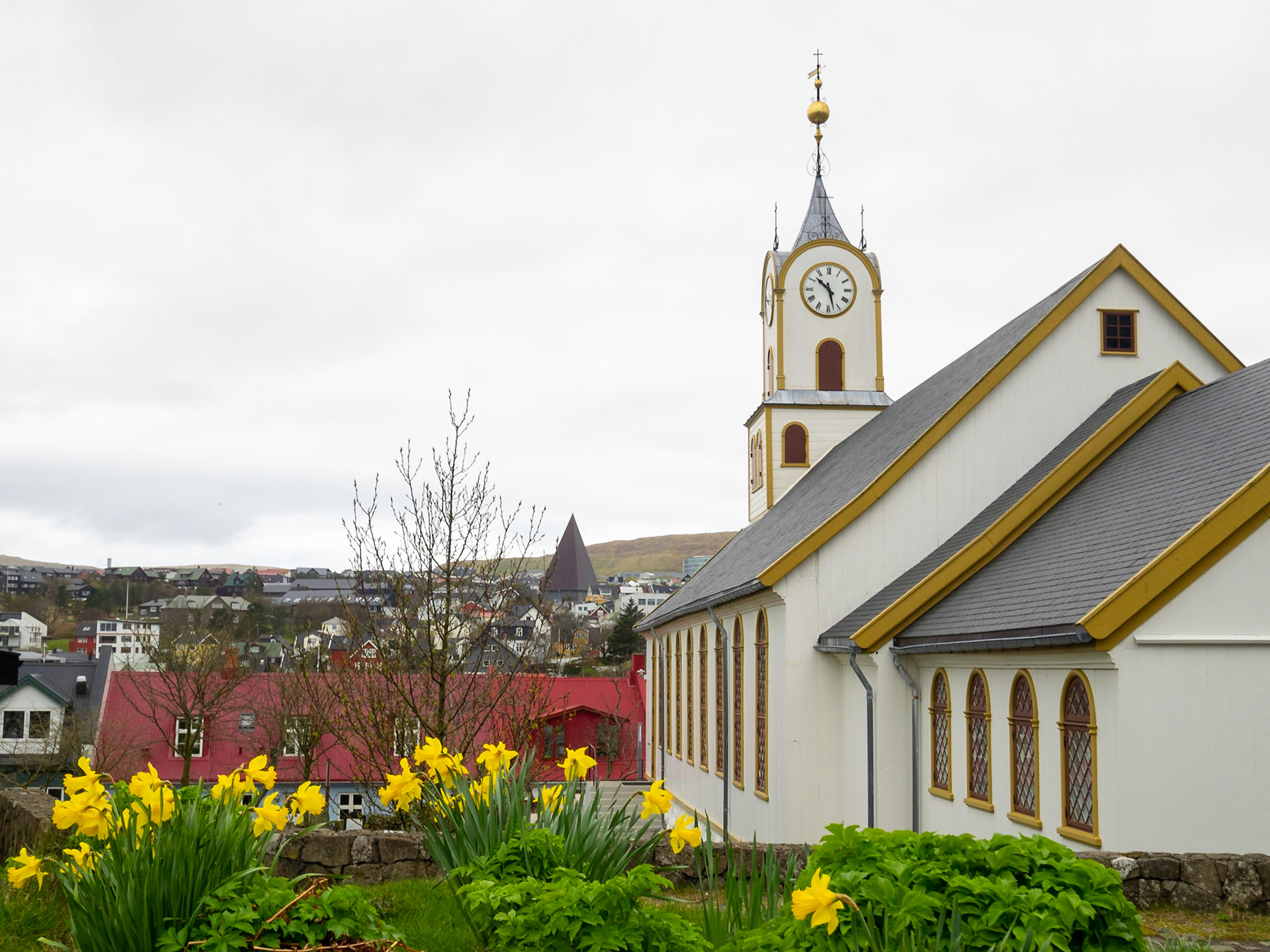
Dómkirkjan church, Tórshavn

Dómkirkjan church, Tórshavn

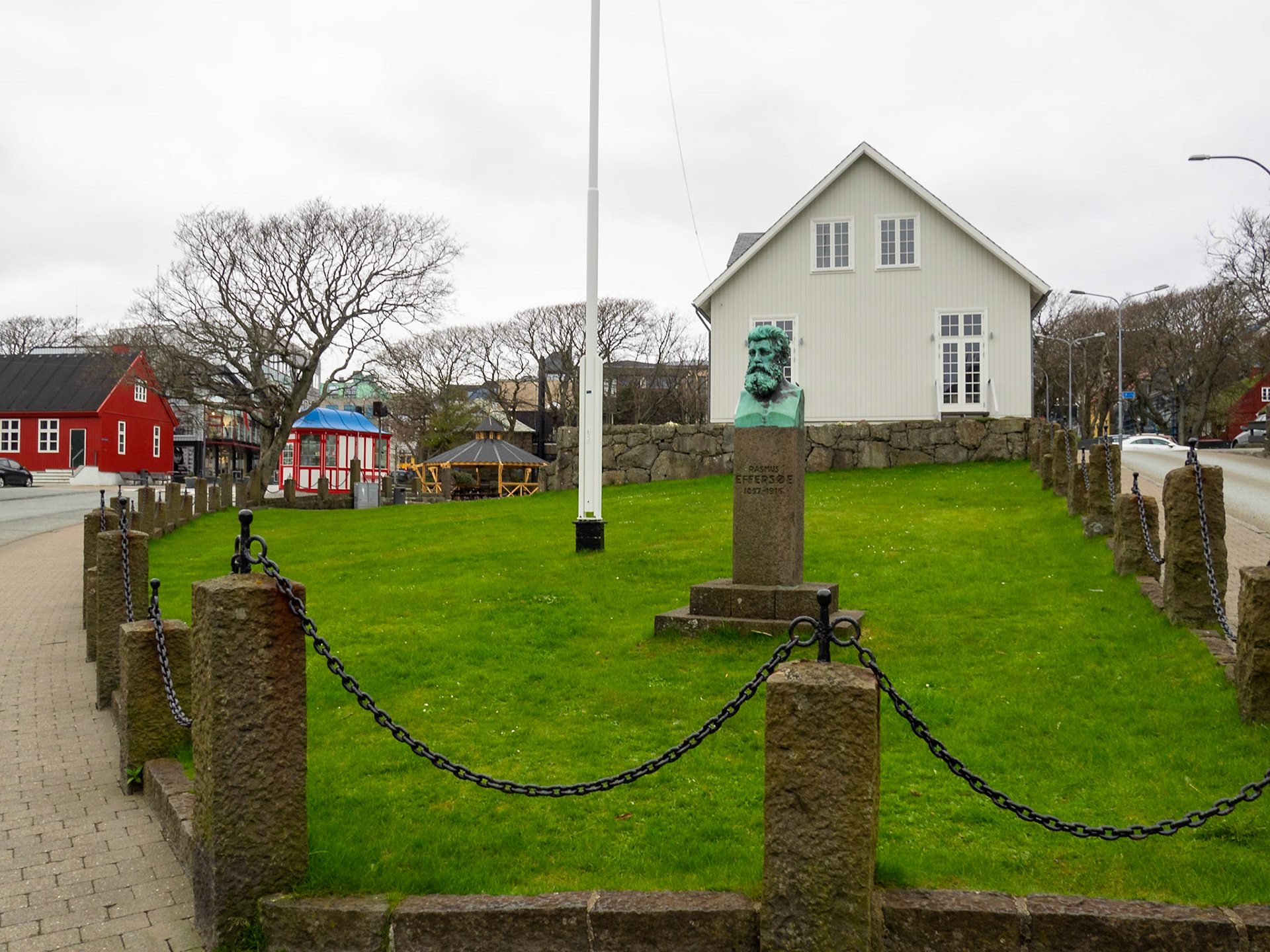
Løgting, Faroe Islands Parliament house in Vaglið square, and Rasmus Effersøe bust, Tórshavn

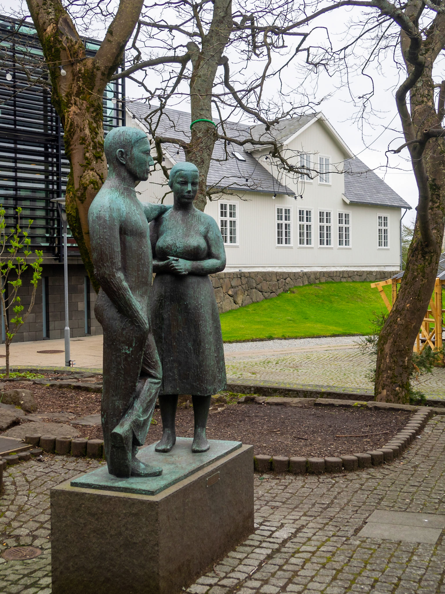
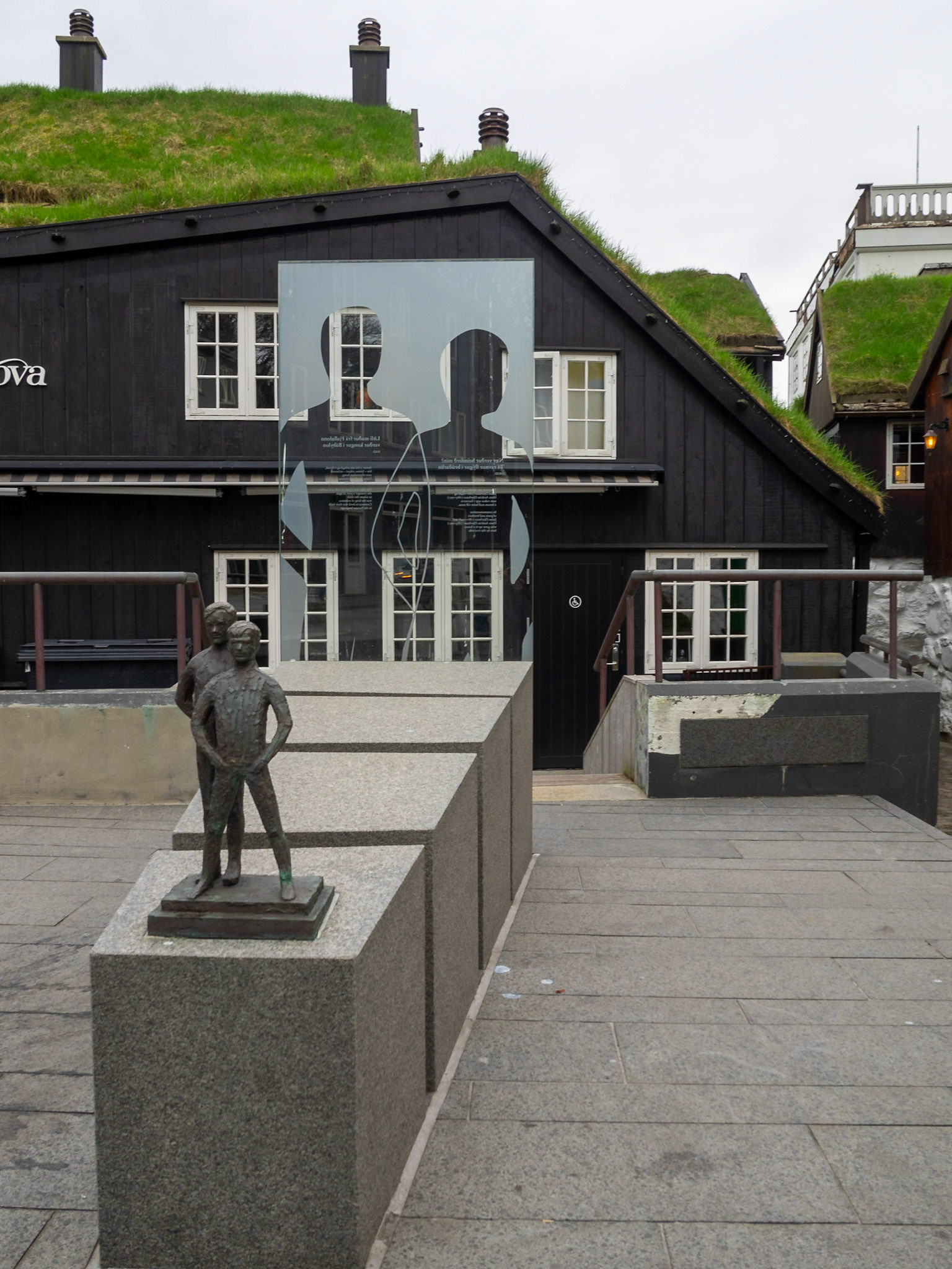
Man and woman statue by the Løgting, Faroses Parliament, Tórshavn

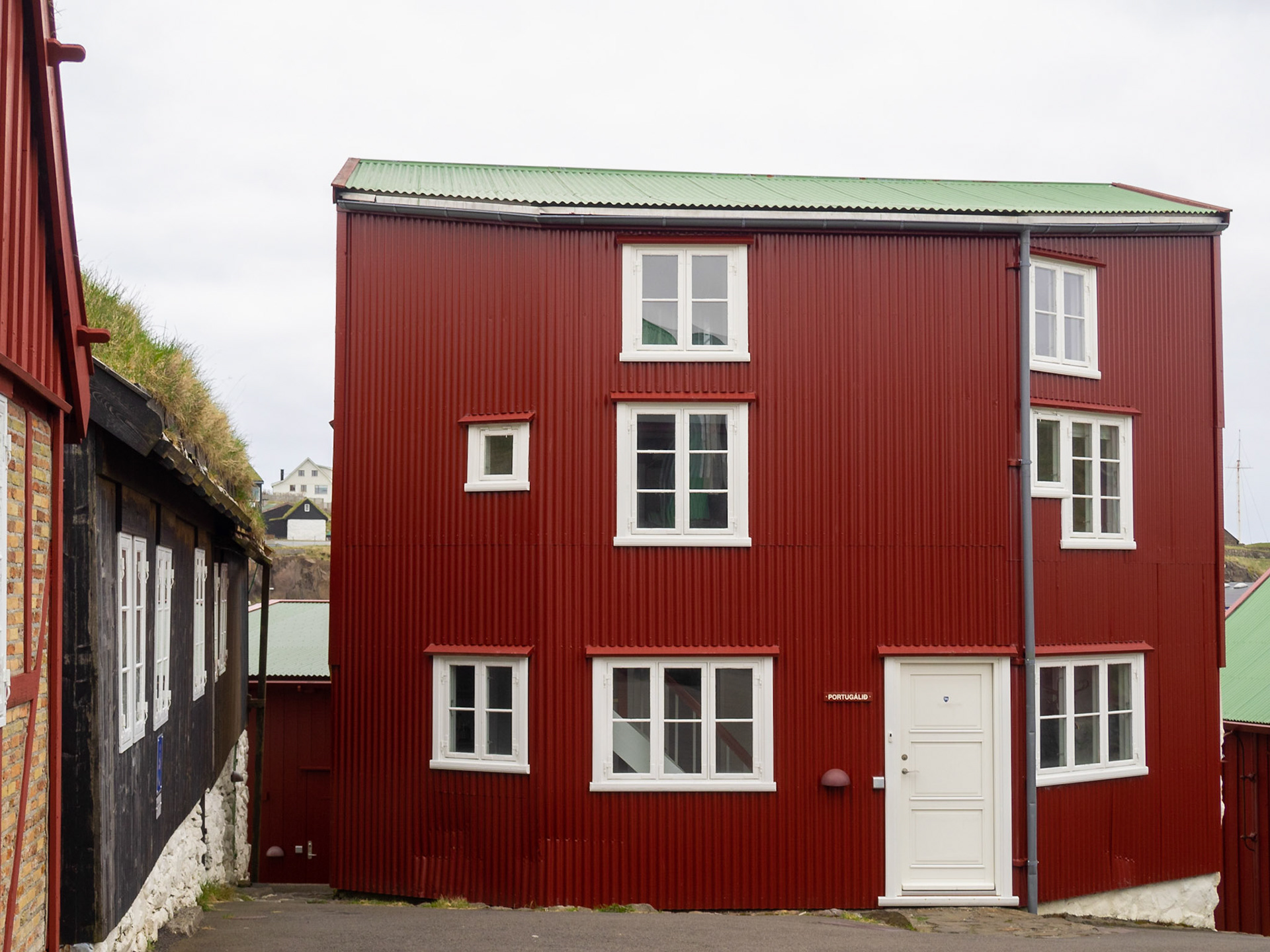
Red house, white windows, Tinganes, old Tórshavn

Tinganes red houses with slate roof, Tórshavn

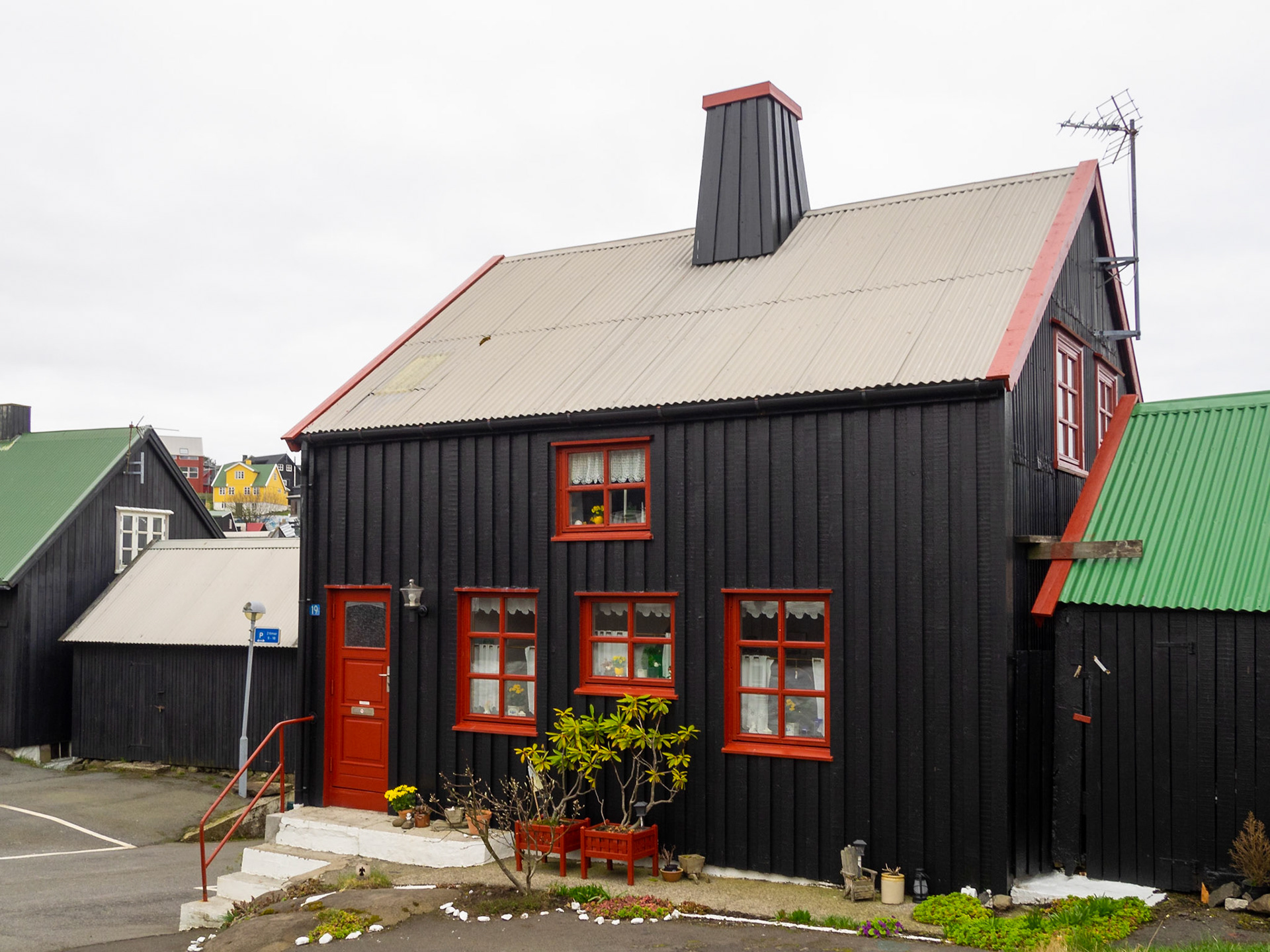
Tinganes house, black tared timber and red windows, Tórshavn

Janus Djurhuus and Hans Andrias Djurhuus memorial statue in Tórshavn

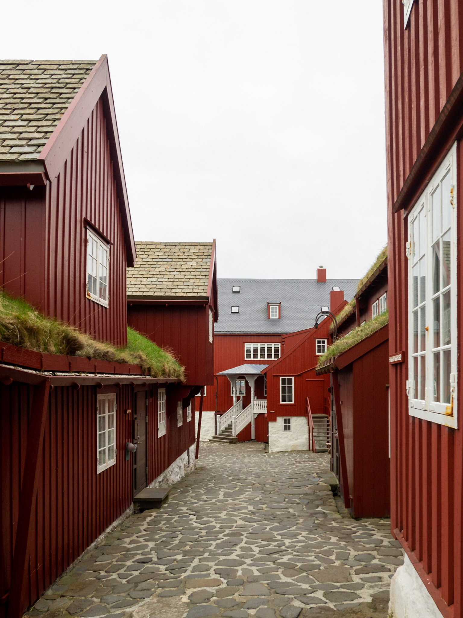
Tinganes street with turf roofed red houses, Tórshavn

Koltur in the Horizon seen from Norðradalur valley

Norðradalur winding road and Koltur island

Kaldbaksfjørður panorama from the muntains

Longhouse and byre ruins from the late Viking period, Kvivik

Kvivik by the Vestmannasund with Koltur on the horizon and Vágar on the left

A sheep passing bu Kollafjørður blacj turf roofed church

Kollafjørður church interior

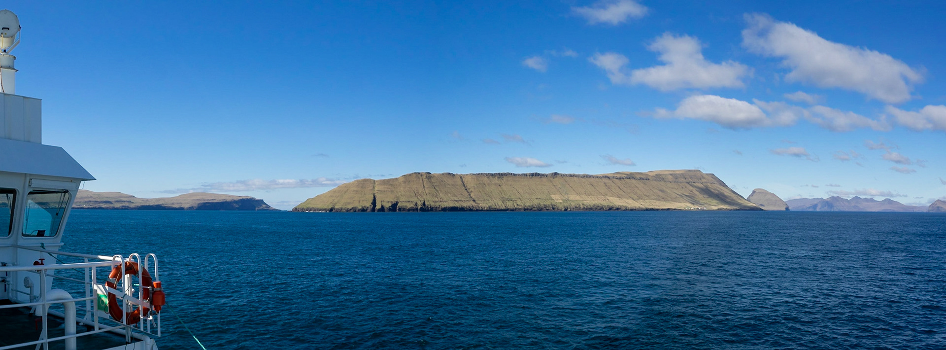
Left to right, Sandoy, Hestur and Koltur islands seen from the ferrie crossing of Skopunarfjørður

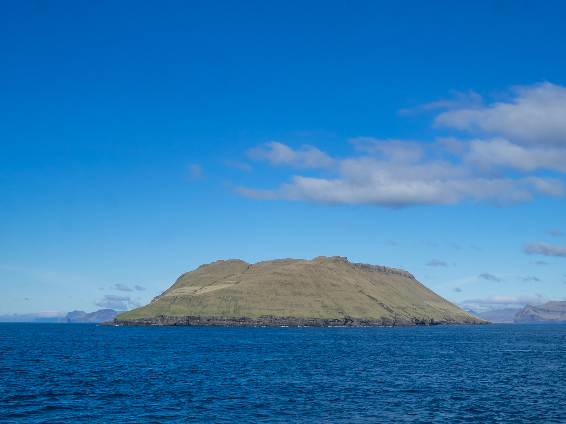
Hestur island flat top seen from Skopunarfjørður crossing

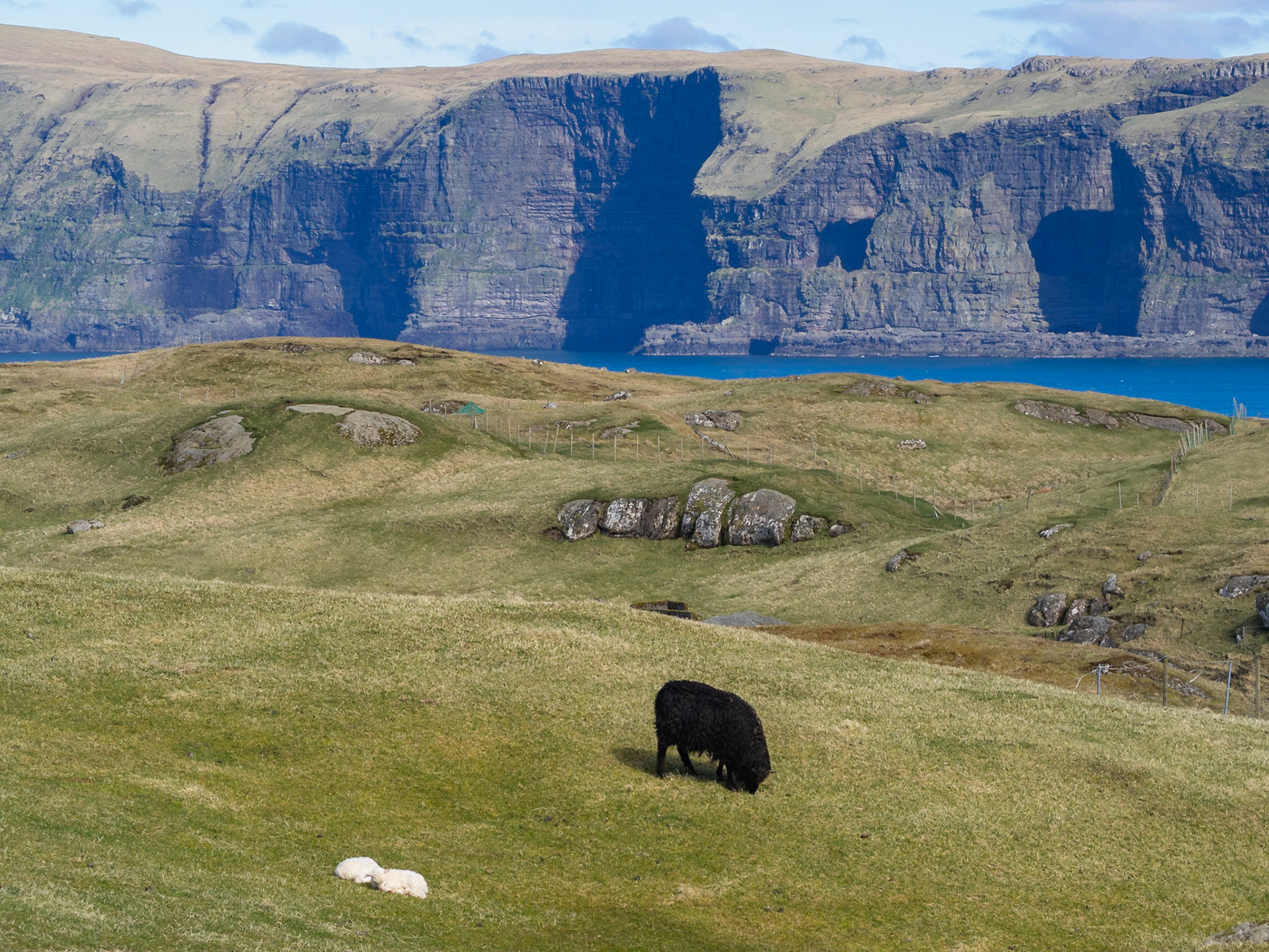
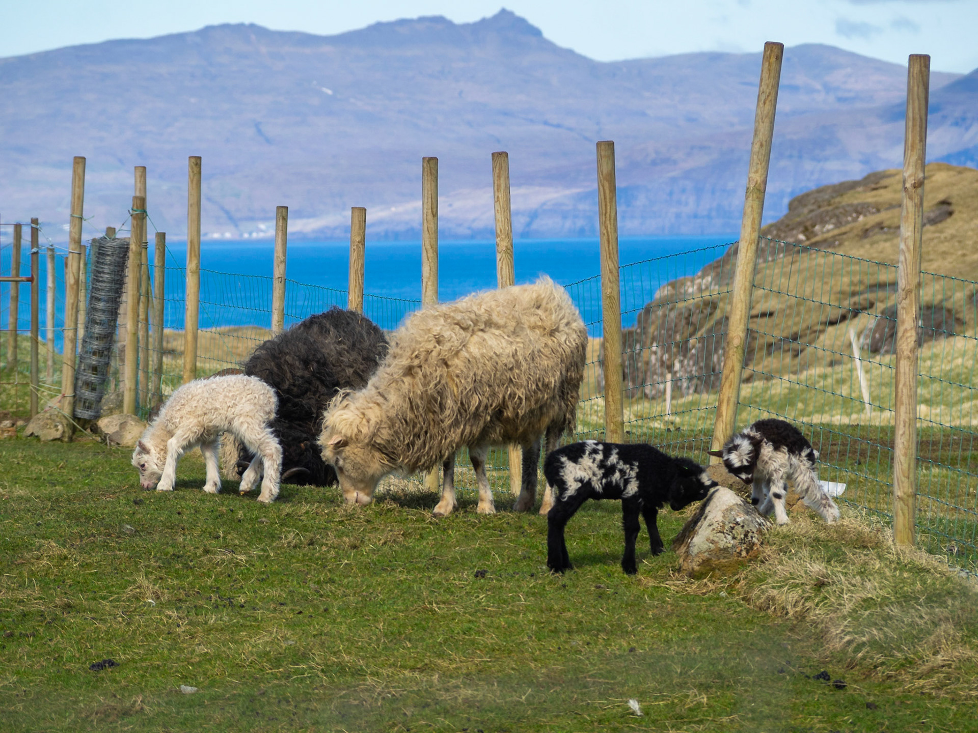
Black sheep grazing and white lambs sleepin in the green grass of Sandoy, with Hestur island in background

Sheep and lambs grazing the green grass

Djúpaberg cliff and Vágar island across the sea

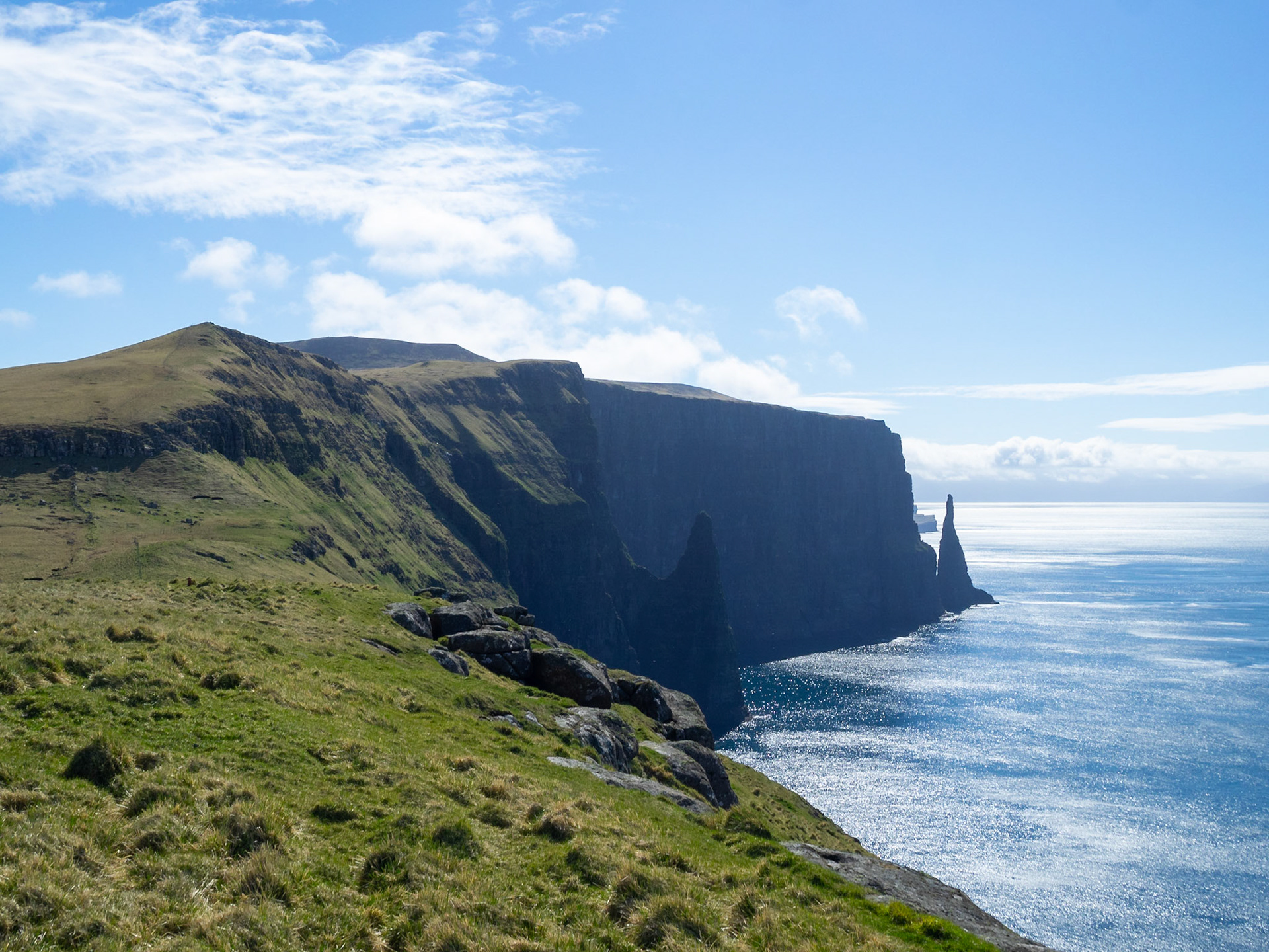
Northwest Sandoy sea stacks silhouettes

Grass fields of north Sandoy with Streymoy on the horizon

Hiking path sign in the grass atop the cliffs of Gleðin

Grass fields of north Sandoy with Streymoy on the horizon

Hálsavatn lake panorama

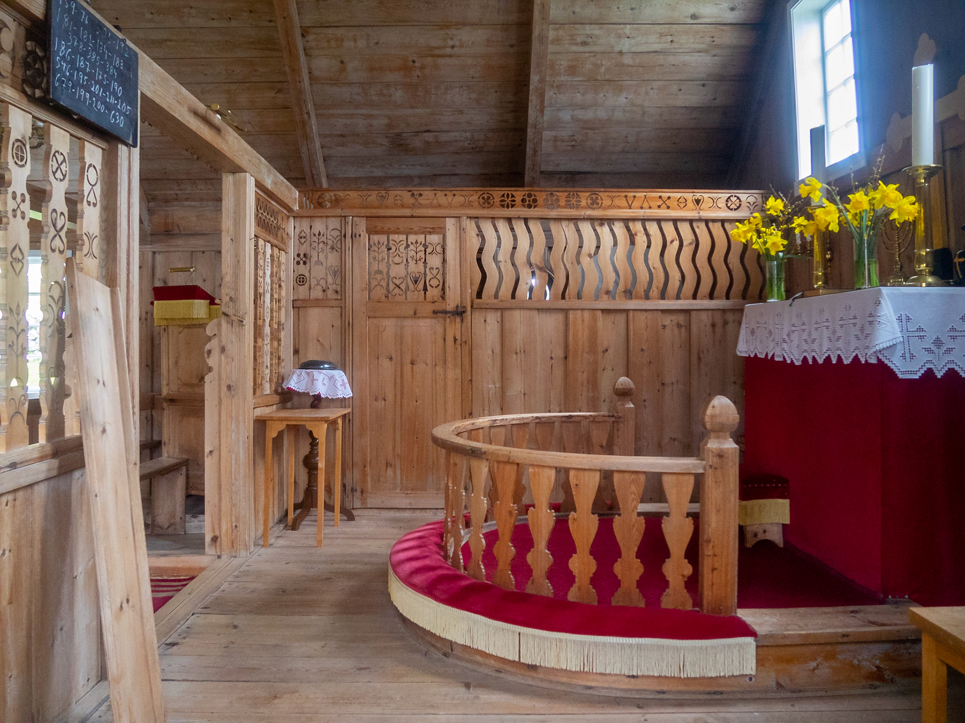
Sandur black turf roofed church and graveyeard

Sandur bay and beach panorama

Søltuvíkar vegur road atop the cliffs of south Sandoy island

Søltuvíkar vegur road atop the cliffs of south Sandoy island

Sheep standing on the cliff top road in Sandoy

Road along Sandoy island coastline

A sheep by Skálavík turf roofed church

Skálavík panorama with the beach and Pætursfjall mountain

Húsavík old medieval farm turf roofed stone houses by the sea

Húsavík turf roofed white church

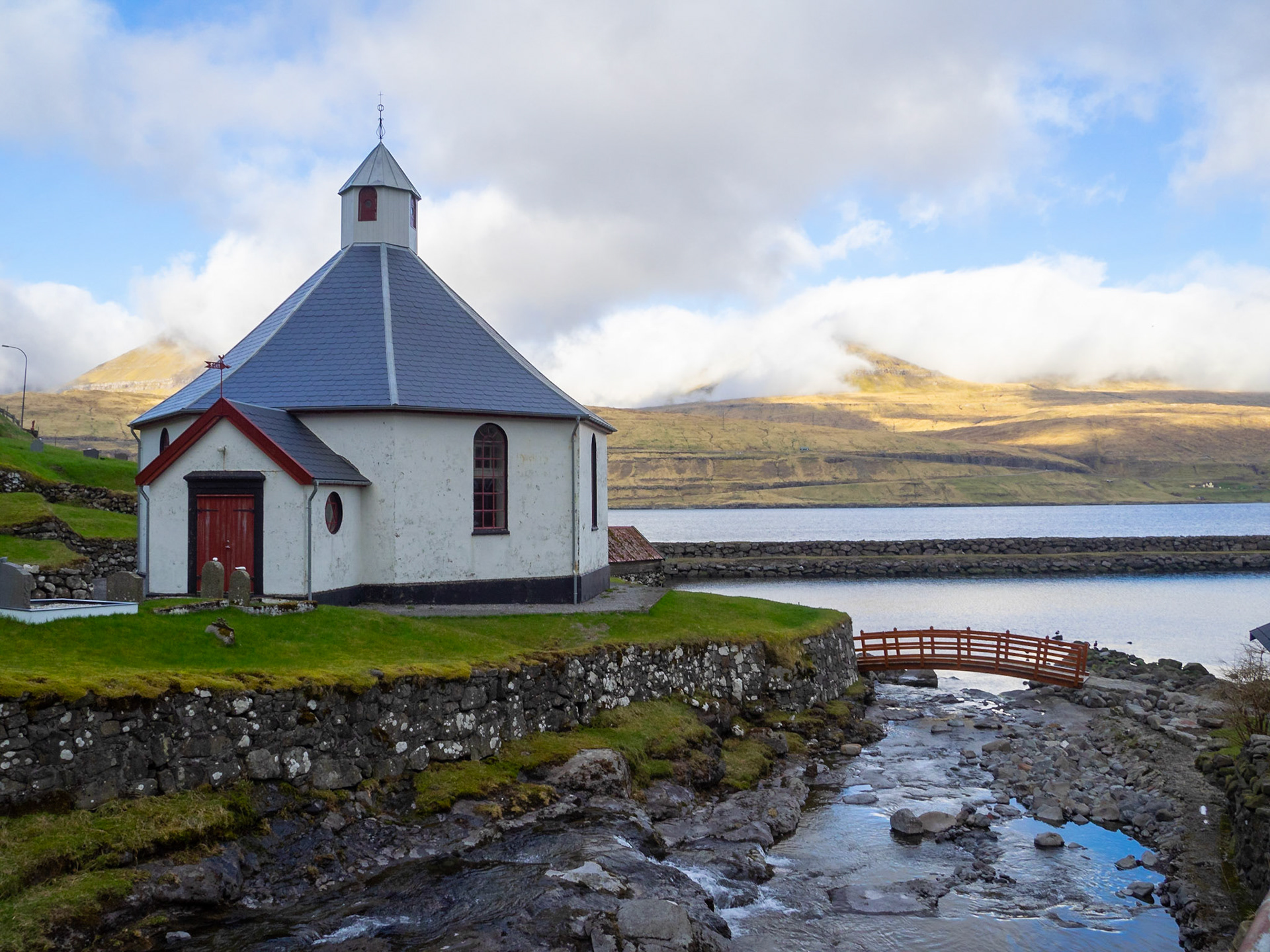
Haldarsvík octogonal church

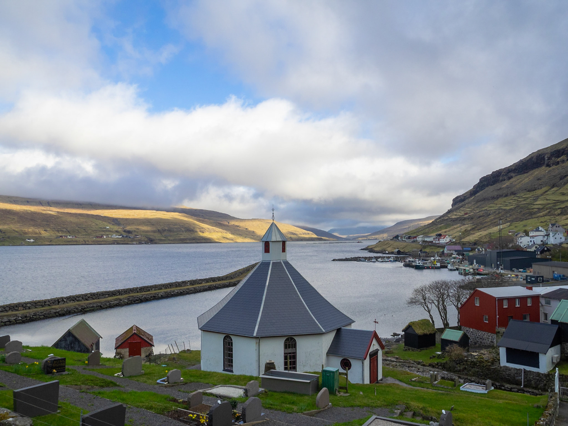
View of Sundinni, between Eysturoy and Streymoy islands, from over Haldarsvík octogonal church

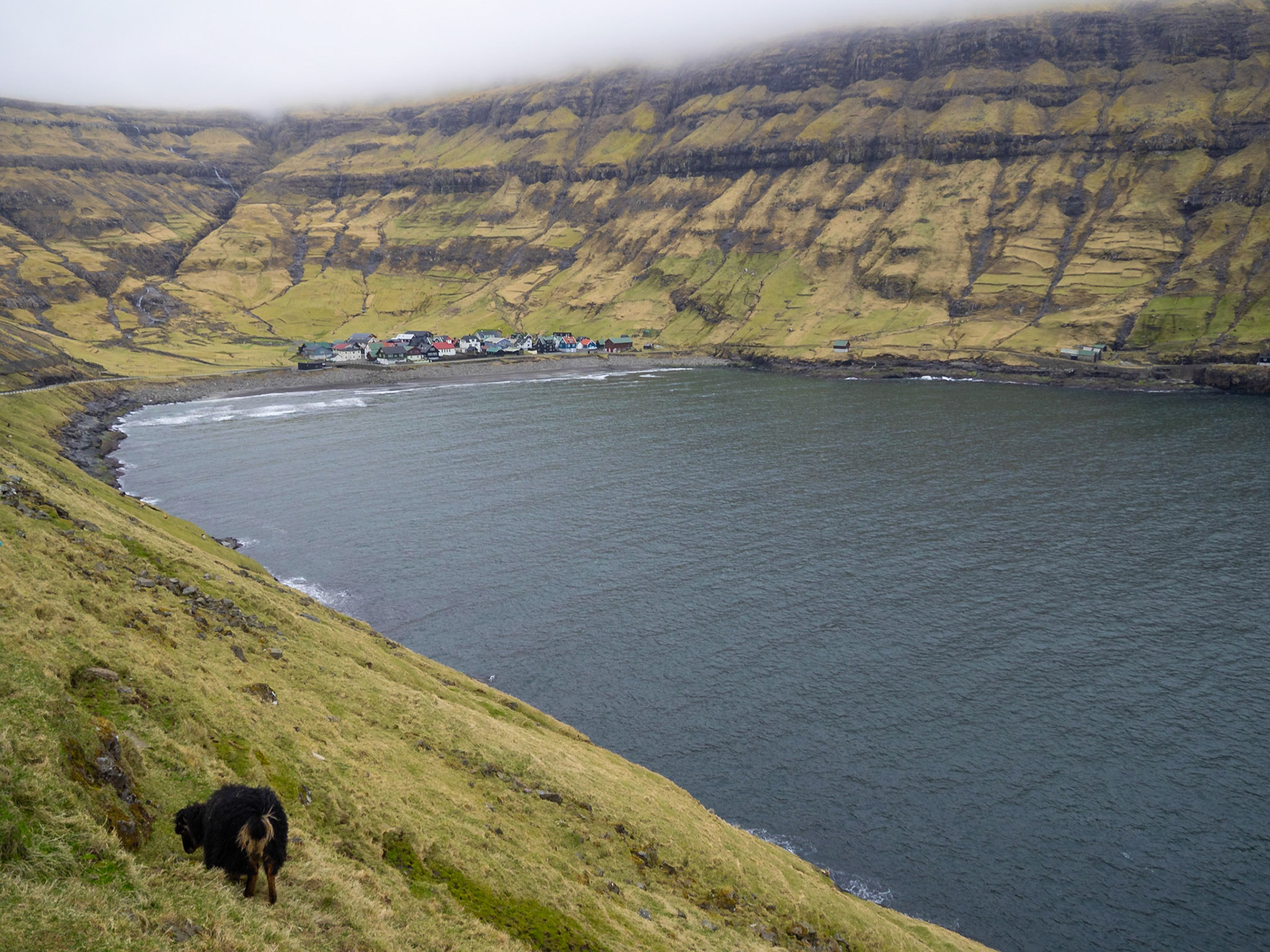
Tjørnuvík hamlet seen from the road down the mountain

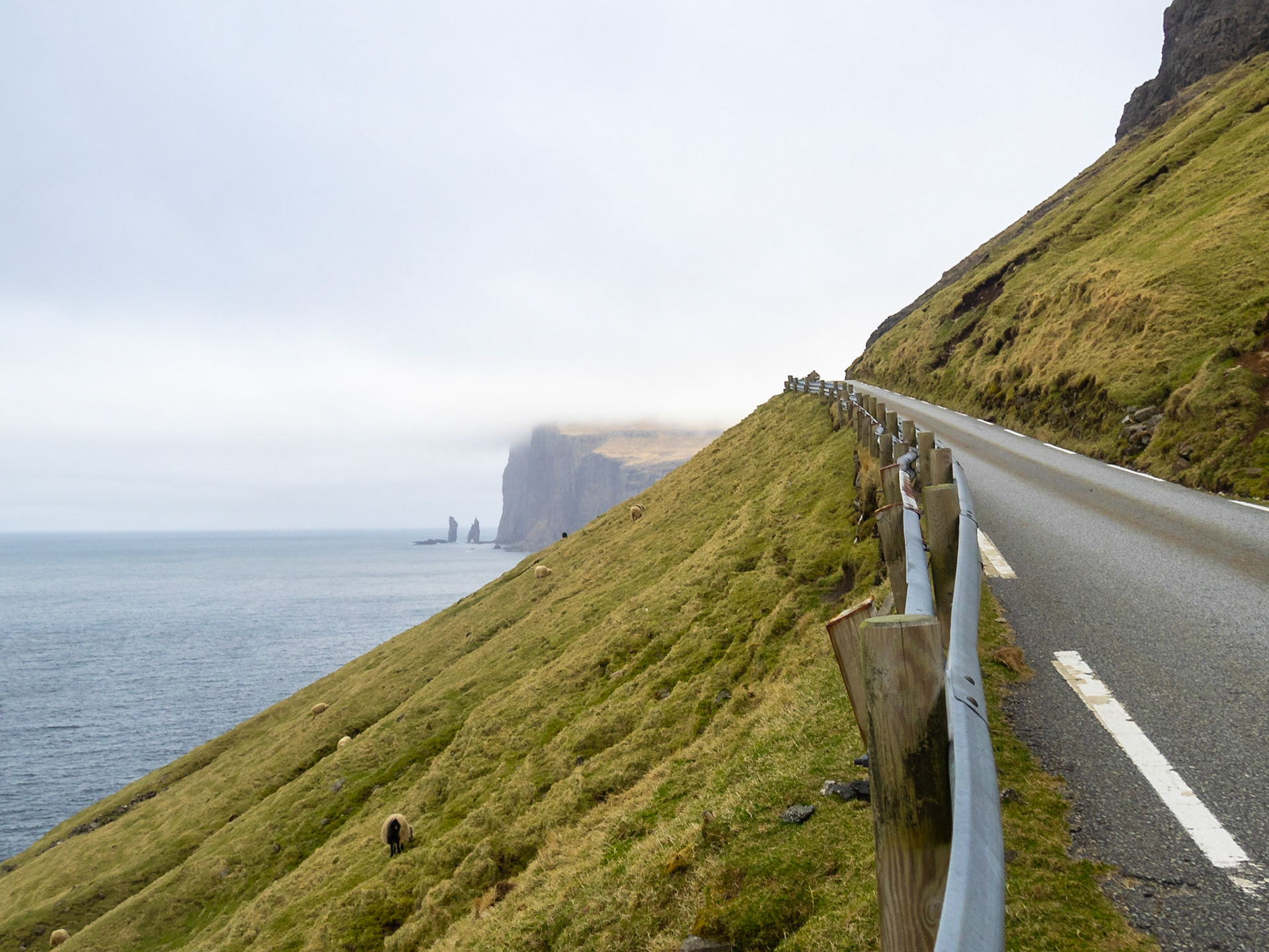
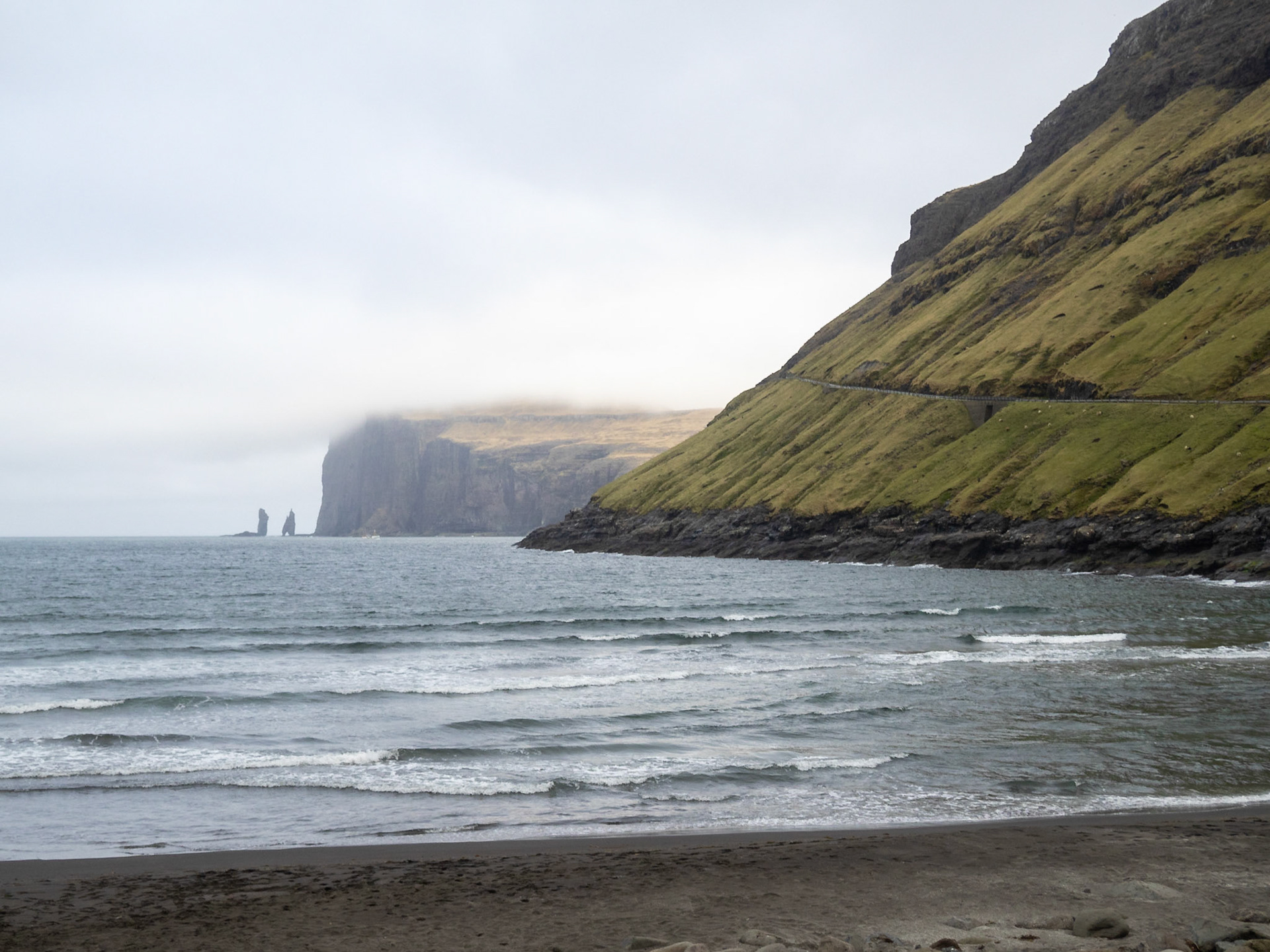
Eiðiskollur cliff, and Risin and Kellingin sea stacks, in the horizon from the road from Tjørnuvík

Tjørnuvík black sand beach with Eiðiskollur cliff, and Risin and Kellingin sea stacks, in the horizon

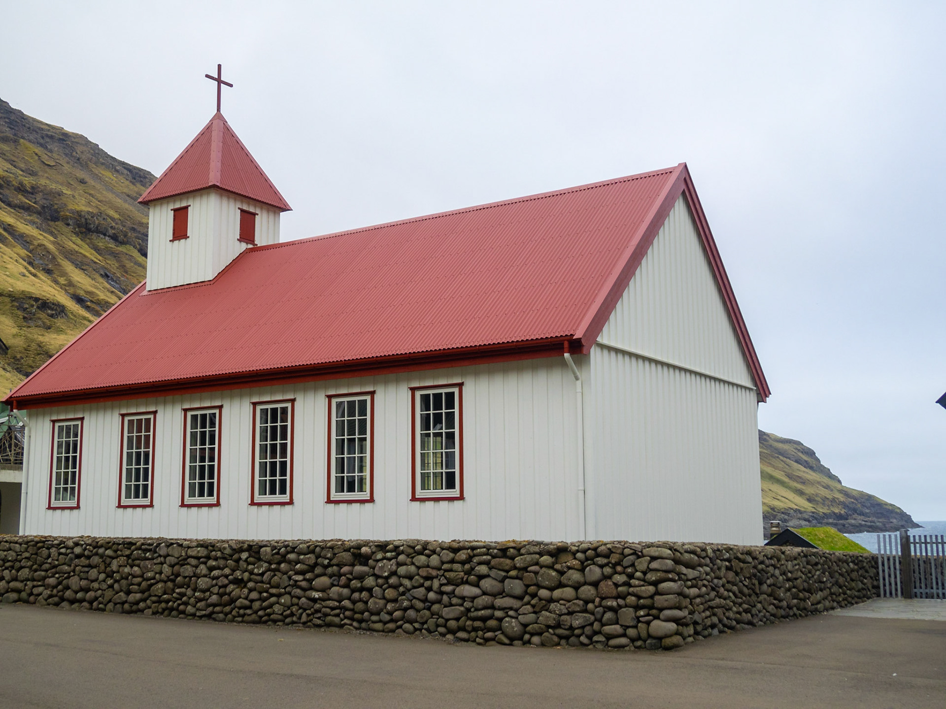
Tjørnuvík white and red church
